Wakefield is a census-designated place in Fairfax County, Virginia, United States. The population as of the 2010 census was 11,275. The current Wakefield area was built in the 1950-60’s.
| Name: | Wakefield CDP |
|---|---|
| LSAD Code: | 57 |
| LSAD Description: | CDP (suffix) |
| State: | Virginia |
| County: | Fairfax County |
| Elevation: | 300 ft (90 m) |
| Total Area: | 3.80 sq mi (9.85 km²) |
| Land Area: | 3.77 sq mi (9.76 km²) |
| Water Area: | 0.03 sq mi (0.09 km²) |
| Total Population: | 11,275 |
| Population Density: | 2,991/sq mi (1,154.7/km²) |
| ZIP code: | 22003 |
| FIPS code: | 5182371 |
| GNISfeature ID: | 2584933 |
Online Interactive Map
Click on ![]() to view map in "full screen" mode.
to view map in "full screen" mode.
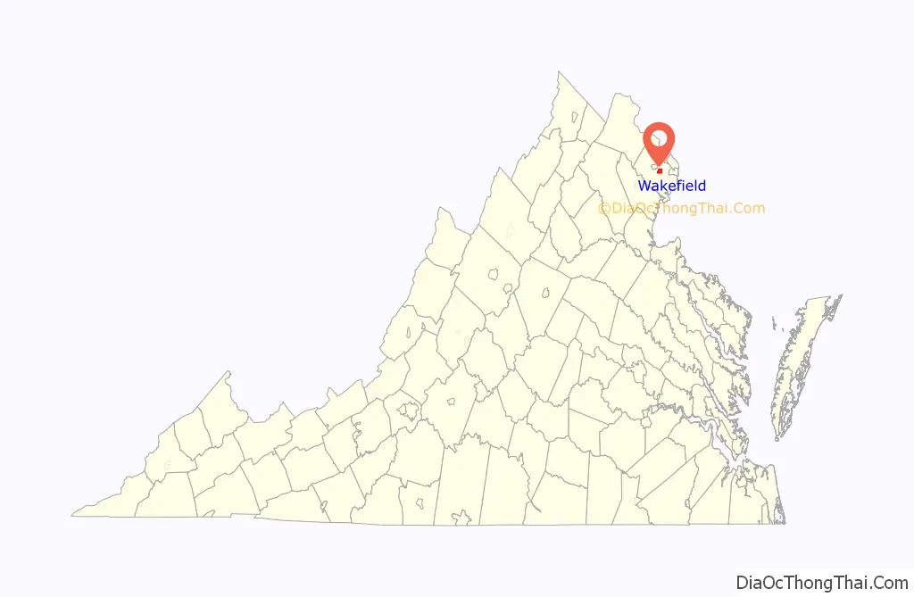
Wakefield location map. Where is Wakefield CDP?

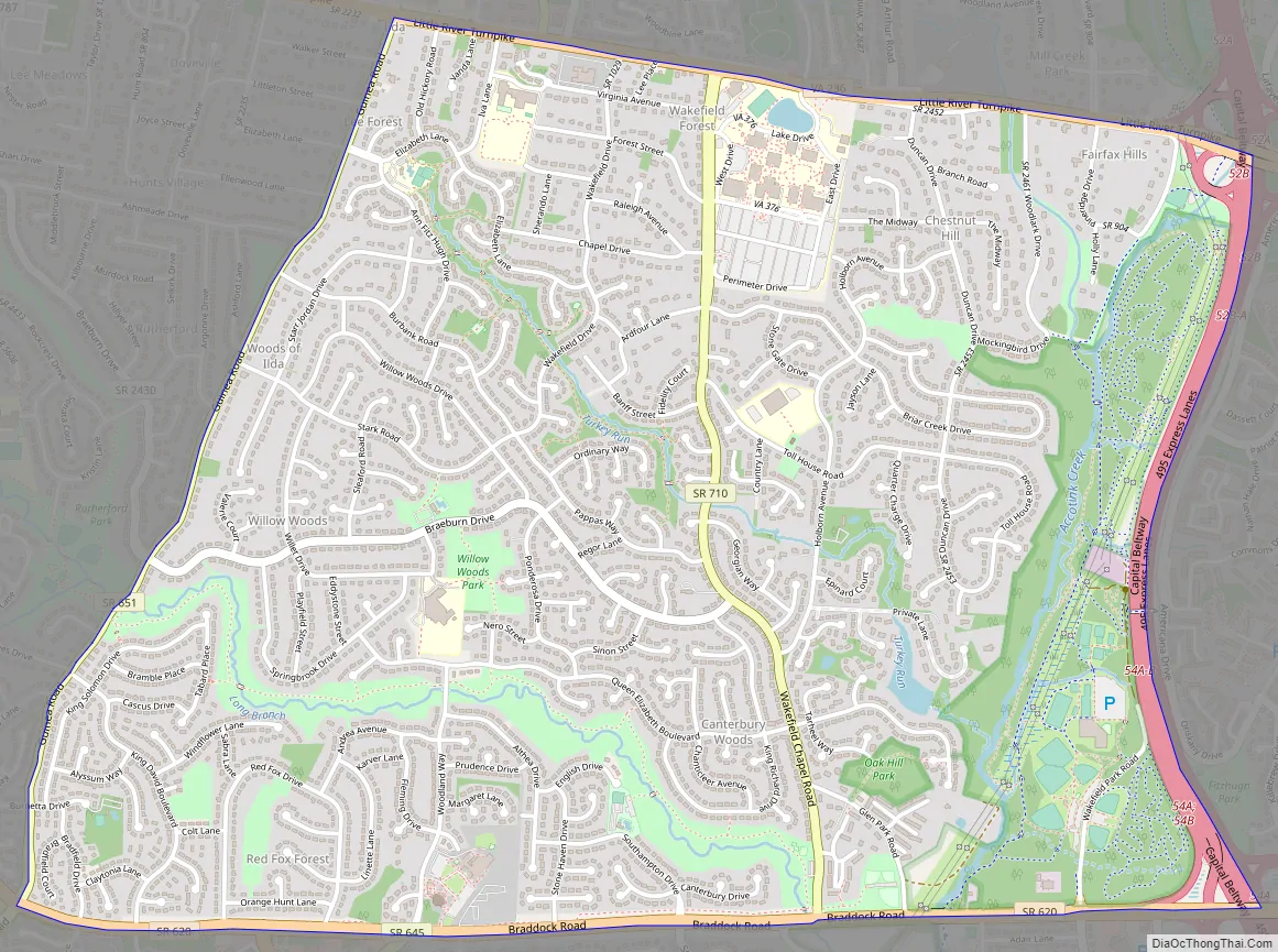
Wakefield Road Map
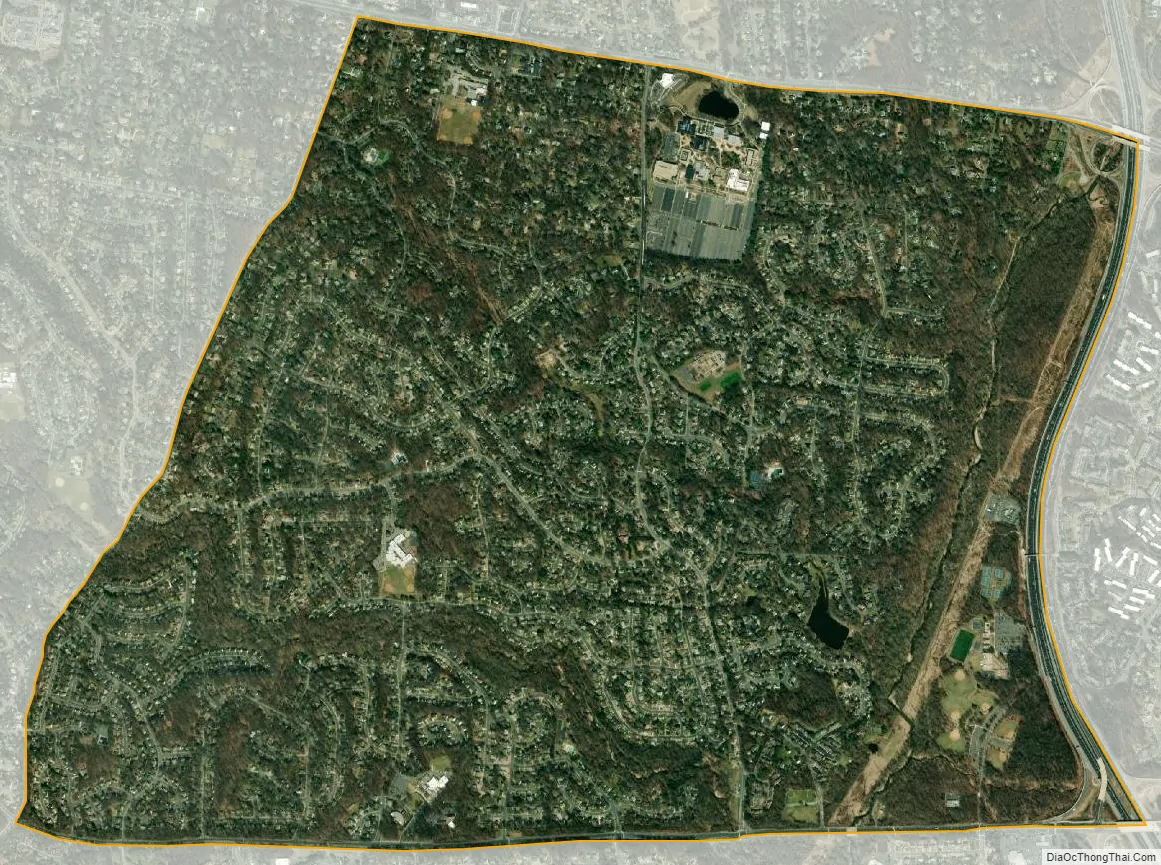
Wakefield city Satellite Map
Geography
Bounded by the Capital Beltway, Little River Turnpike, Guinea Road and Braddock Road, the CDP draws much of its identity from Wakefield Chapel, an 1899-built Methodist church that is now owned by the county Park Authority and still available as a chapel. Wakefield Chapel Road bisects the CDP, and Wakefield Park Recreation Center and several subdivisions bear the Wakefield name. Northern Virginia Community College’s Annandale Campus is also here, as is the historic Oak Hill Mansion.
Neighboring communities are Mantua to the northwest, Woodburn to the north, Annandale to the east, North Springfield to the southeast, Ravensworth and Kings Park to the south, Burke to the southwest, and Long Branch to the west. The city of Fairfax is 3 miles (5 km) to the west, and downtown Washington, D.C. is 15 miles (24 km) to the northeast. Its borders are formed by Guinea Road to the west, Braddock Road to the south, Interstate 495 to the east, and Little River Turnpike to the north.
According to the U.S. Census Bureau, the total area of the Wakefield CDP is 3.80 square miles (9.85 km), of which 3.77 square miles (9.76 km) is land and 0.03 square miles (0.09 km), or 0.89%, is water.
See also
Map of Virginia State and its subdivision:- Accomack
- Albemarle
- Alexandria
- Alleghany
- Amelia
- Amherst
- Appomattox
- Arlington
- Augusta
- Bath
- Bedford
- Bedford City
- Bland
- Botetourt
- Bristol
- Brunswick
- Buchanan
- Buckingham
- Buena Vista
- Campbell
- Caroline
- Carroll
- Charles City
- Charlotte
- Charlottesville
- Chesapeake
- Chesterfield
- Clarke
- Clifton Forge City
- Colonial Heights
- Covington
- Craig
- Culpeper
- Cumberland
- Danville
- Dickenson
- Dinwiddie
- Emporia
- Essex
- Fairfax
- Fairfax City
- Falls Church
- Fauquier
- Floyd
- Fluvanna
- Franklin
- Frederick
- Fredericksburg
- Galax
- Giles
- Gloucester
- Goochland
- Grayson
- Greene
- Greensville
- Halifax
- Hampton
- Hanover
- Harrisonburg
- Henrico
- Henry
- Highland
- Hopewell
- Isle of Wight
- James City
- King and Queen
- King George
- King William
- Lancaster
- Lee
- Lexington
- Loudoun
- Louisa
- Lunenburg
- Lynchburg
- Madison
- Manassas
- Manassas Park
- Martinsville
- Mathews
- Mecklenburg
- Middlesex
- Montgomery
- Nelson
- New Kent
- Newport News
- Norfolk
- Northampton
- Northumberland
- Norton
- Nottoway
- Orange
- Page
- Patrick
- Petersburg
- Pittsylvania
- Poquoson
- Portsmouth
- Powhatan
- Prince Edward
- Prince George
- Prince William
- Pulaski
- Radford
- Rappahannock
- Richmond
- Roanoke
- Roanoke City
- Rockbridge
- Rockingham
- Russell
- Salem
- Scott
- Shenandoah
- Smyth
- Southampton
- Spotsylvania
- Stafford
- Staunton
- Suffolk
- Surry
- Sussex
- Tazewell
- Virginia Beach
- Warren
- Washington
- Waynesboro
- Westmoreland
- Williamsburg
- Winchester
- Wise
- Wythe
- York
- Alabama
- Alaska
- Arizona
- Arkansas
- California
- Colorado
- Connecticut
- Delaware
- District of Columbia
- Florida
- Georgia
- Hawaii
- Idaho
- Illinois
- Indiana
- Iowa
- Kansas
- Kentucky
- Louisiana
- Maine
- Maryland
- Massachusetts
- Michigan
- Minnesota
- Mississippi
- Missouri
- Montana
- Nebraska
- Nevada
- New Hampshire
- New Jersey
- New Mexico
- New York
- North Carolina
- North Dakota
- Ohio
- Oklahoma
- Oregon
- Pennsylvania
- Rhode Island
- South Carolina
- South Dakota
- Tennessee
- Texas
- Utah
- Vermont
- Virginia
- Washington
- West Virginia
- Wisconsin
- Wyoming


