Woodlawn is a census-designated place (CDP) in Carroll County, Virginia, United States. The population was 2,343 at the 2010 census. Woodlawn is musically notable as the home of Heritage Shoppe and Heritage Records, a store and record label owned by Bobby Patterson, a musician from a regionally important family of performers. Heritage Records specializes in local musicians, and also releases recordings from the Old Fiddlers’ Convention in Galax, Virginia.
| Name: | Woodlawn CDP |
|---|---|
| LSAD Code: | 57 |
| LSAD Description: | CDP (suffix) |
| State: | Virginia |
| County: | Carroll County |
| Elevation: | 2,520 ft (768 m) |
| Total Area: | 19.5 sq mi (50.6 km²) |
| Land Area: | 19.5 sq mi (50.6 km²) |
| Water Area: | 0.0 sq mi (0.0 km²) |
| Total Population: | 2,343 |
| Population Density: | 120/sq mi (46/km²) |
| ZIP code: | 24381 |
| Area code: | 276 |
| FIPS code: | 5187410 |
| GNISfeature ID: | 1476952 |
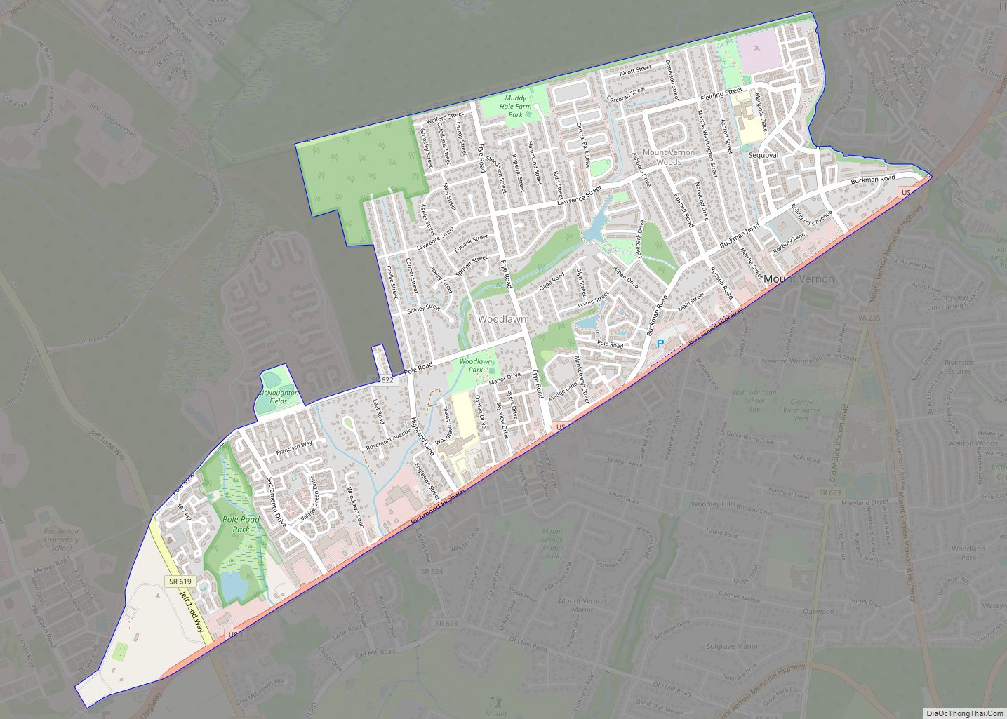
Online Interactive Map
Click on ![]() to view map in "full screen" mode.
to view map in "full screen" mode.
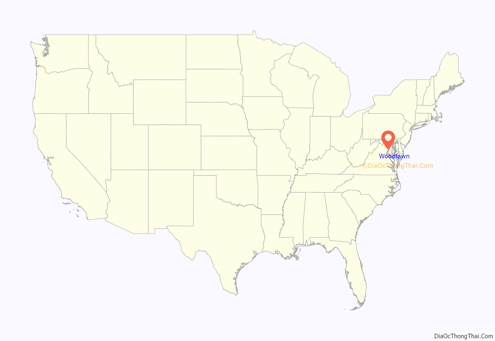
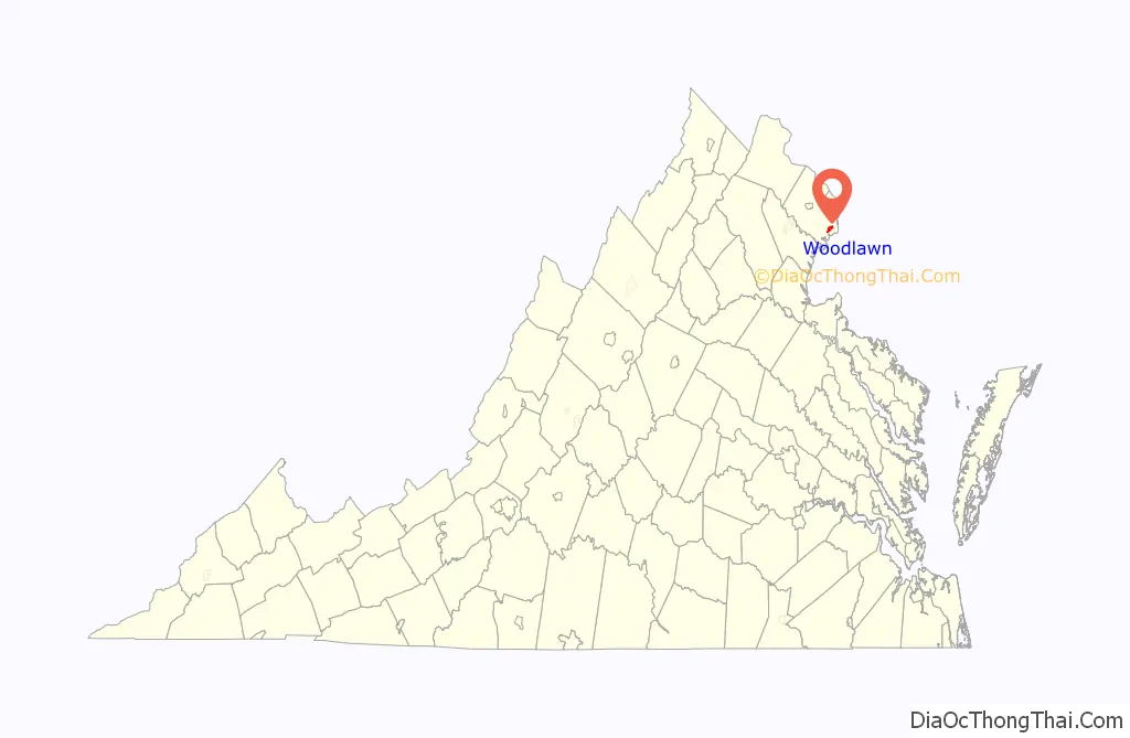
Woodlawn location map. Where is Woodlawn CDP?
History
The area of present-day Woodlawn, located in Virginia’s Blue Ridge Mountains, began as a land grant to James Wood of Frederick County, Virginia in 1756. His son, James Wood, served as governor of Virginia from 1796 to 1799. The Treaty of Lochaber, between British representative John Stuart and the Cherokee, made the land available for settlement about 1770. The original James Wood bequeathed the land to his wife Mary who bequeathed it to her grandsons. It is thought that none of the Wood family ever lived in Woodlawn.
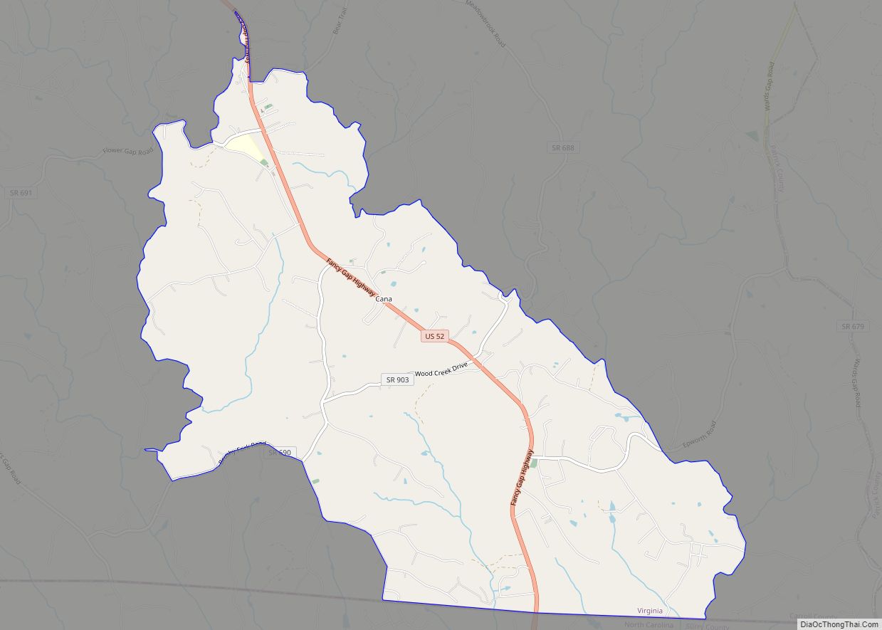
Woodlawn Road Map
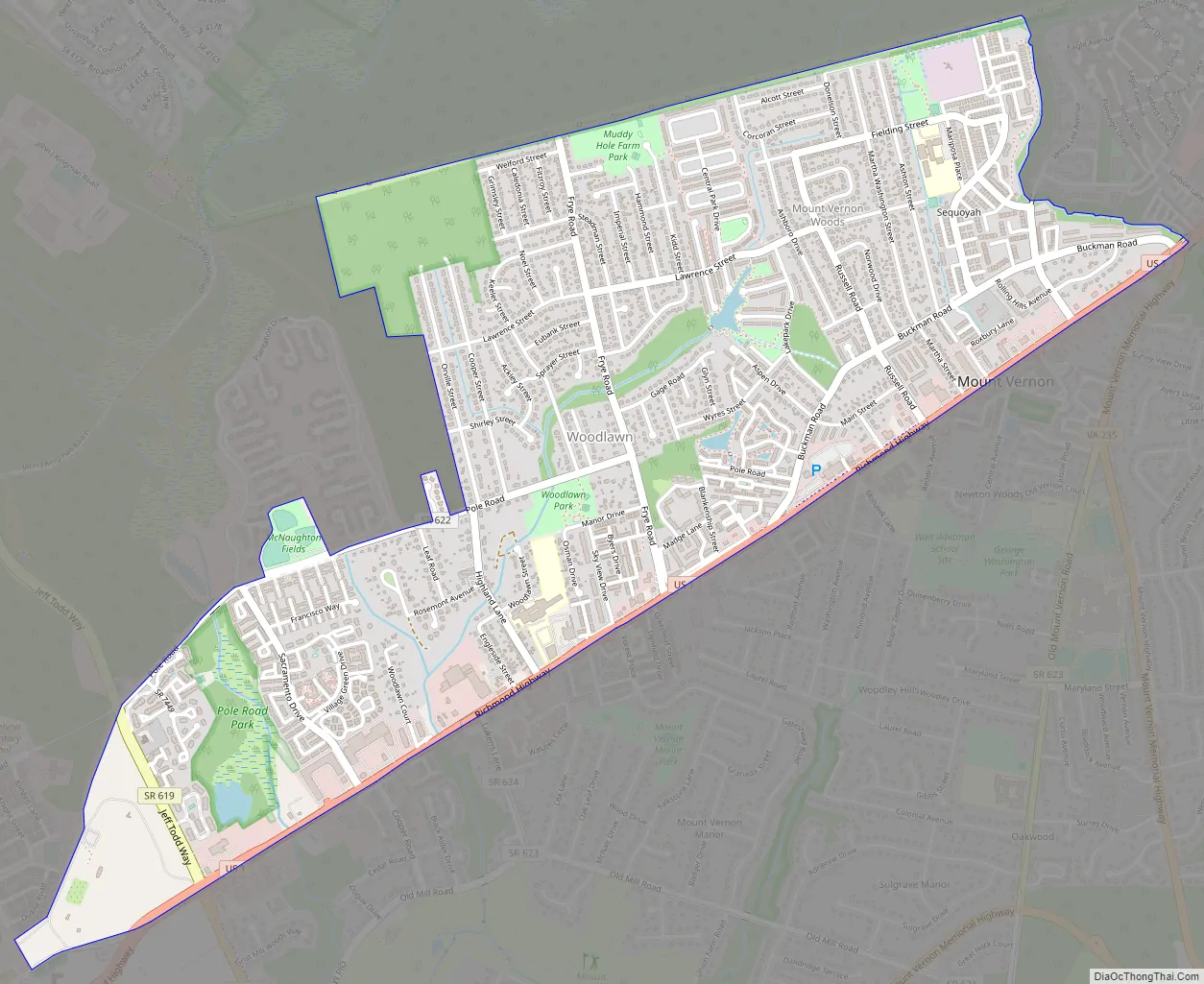
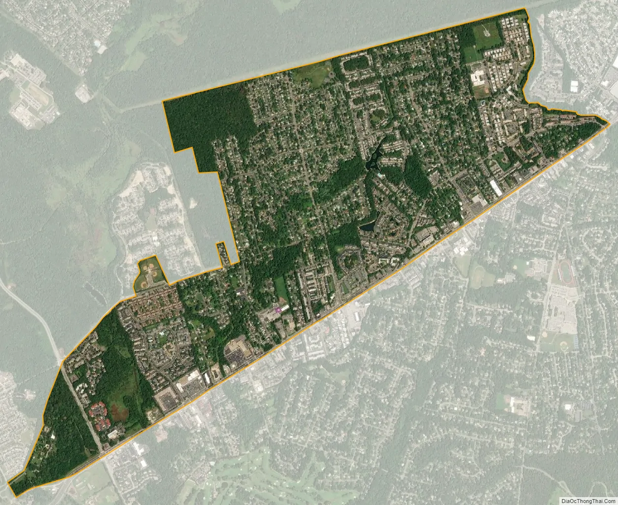
Woodlawn city Satellite Map
Geography
Woodlawn is located at 36°43′58″N 80°48′7″W / 36.73278°N 80.80194°W / 36.73278; -80.80194 (36.732719, −80.801934).
According to the United States Census Bureau, the CDP has a total area of 19.5 square miles (50.6 km), all of it land.
See also
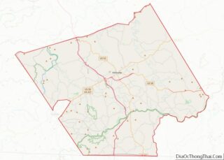
Map of Virginia State and its subdivision:- Accomack
- Albemarle
- Alexandria
- Alleghany
- Amelia
- Amherst
- Appomattox
- Arlington
- Augusta
- Bath
- Bedford
- Bedford City
- Bland
- Botetourt
- Bristol
- Brunswick
- Buchanan
- Buckingham
- Buena Vista
- Campbell
- Caroline
- Carroll
- Charles City
- Charlotte
- Charlottesville
- Chesapeake
- Chesterfield
- Clarke
- Clifton Forge City
- Colonial Heights
- Covington
- Craig
- Culpeper
- Cumberland
- Danville
- Dickenson
- Dinwiddie
- Emporia
- Essex
- Fairfax
- Fairfax City
- Falls Church
- Fauquier
- Floyd
- Fluvanna
- Franklin
- Frederick
- Fredericksburg
- Galax
- Giles
- Gloucester
- Goochland
- Grayson
- Greene
- Greensville
- Halifax
- Hampton
- Hanover
- Harrisonburg
- Henrico
- Henry
- Highland
- Hopewell
- Isle of Wight
- James City
- King and Queen
- King George
- King William
- Lancaster
- Lee
- Lexington
- Loudoun
- Louisa
- Lunenburg
- Lynchburg
- Madison
- Manassas
- Manassas Park
- Martinsville
- Mathews
- Mecklenburg
- Middlesex
- Montgomery
- Nelson
- New Kent
- Newport News
- Norfolk
- Northampton
- Northumberland
- Norton
- Nottoway
- Orange
- Page
- Patrick
- Petersburg
- Pittsylvania
- Poquoson
- Portsmouth
- Powhatan
- Prince Edward
- Prince George
- Prince William
- Pulaski
- Radford
- Rappahannock
- Richmond
- Roanoke
- Roanoke City
- Rockbridge
- Rockingham
- Russell
- Salem
- Scott
- Shenandoah
- Smyth
- Southampton
- Spotsylvania
- Stafford
- Staunton
- Suffolk
- Surry
- Sussex
- Tazewell
- Virginia Beach
- Warren
- Washington
- Waynesboro
- Westmoreland
- Williamsburg
- Winchester
- Wise
- Wythe
- York
- Alabama
- Alaska
- Arizona
- Arkansas
- California
- Colorado
- Connecticut
- Delaware
- District of Columbia
- Florida
- Georgia
- Hawaii
- Idaho
- Illinois
- Indiana
- Iowa
- Kansas
- Kentucky
- Louisiana
- Maine
- Maryland
- Massachusetts
- Michigan
- Minnesota
- Mississippi
- Missouri
- Montana
- Nebraska
- Nevada
- New Hampshire
- New Jersey
- New Mexico
- New York
- North Carolina
- North Dakota
- Ohio
- Oklahoma
- Oregon
- Pennsylvania
- Rhode Island
- South Carolina
- South Dakota
- Tennessee
- Texas
- Utah
- Vermont
- Virginia
- Washington
- West Virginia
- Wisconsin
- Wyoming