Hillsville is a town in Carroll County, Virginia, United States. The population was 2,897 at the 2020 census. It is the county seat of Carroll County.
| Name: | Hillsville town |
|---|---|
| LSAD Code: | 43 |
| LSAD Description: | town (suffix) |
| State: | Virginia |
| County: | Carroll County |
| Founded: | 1842 |
| Elevation: | 2,516 ft (767 m) |
| Total Area: | 9.75 sq mi (25.25 km²) |
| Land Area: | 9.74 sq mi (25.22 km²) |
| Water Area: | 0.01 sq mi (0.03 km²) |
| Total Population: | 2,897 |
| Population Density: | 273.26/sq mi (105.51/km²) |
| ZIP code: | 24343 |
| Area code: | 276 |
| FIPS code: | 5137336 |
| GNISfeature ID: | 1498493 |
| Website: | www.townofhillsville.com |
Online Interactive Map
Click on ![]() to view map in "full screen" mode.
to view map in "full screen" mode.
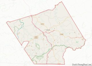
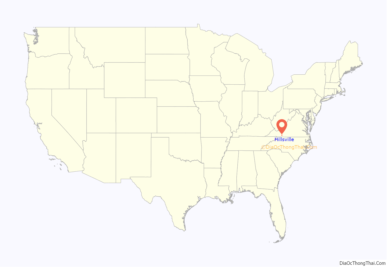
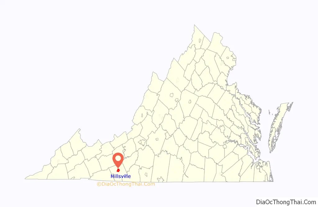
Hillsville location map. Where is Hillsville town?
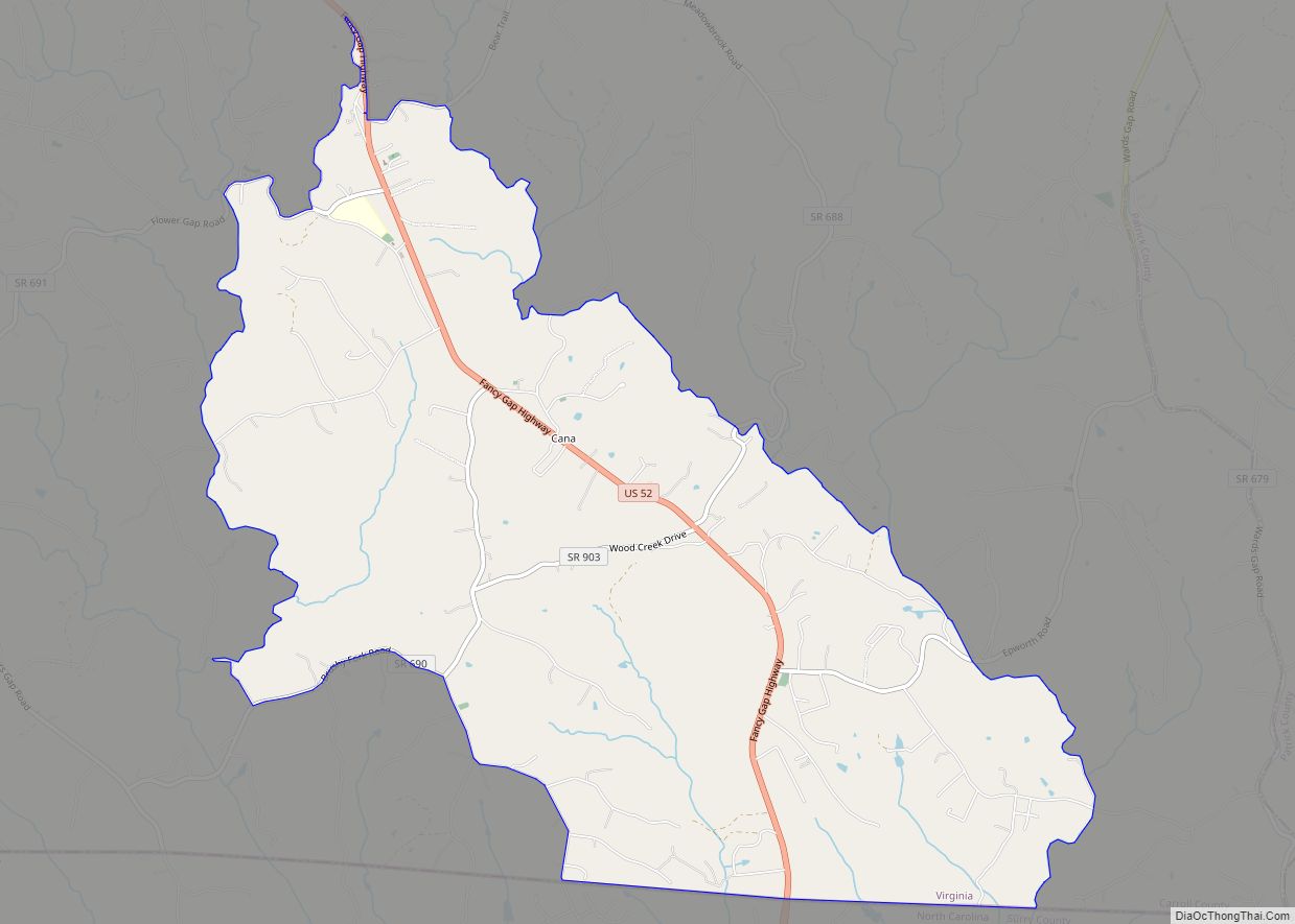
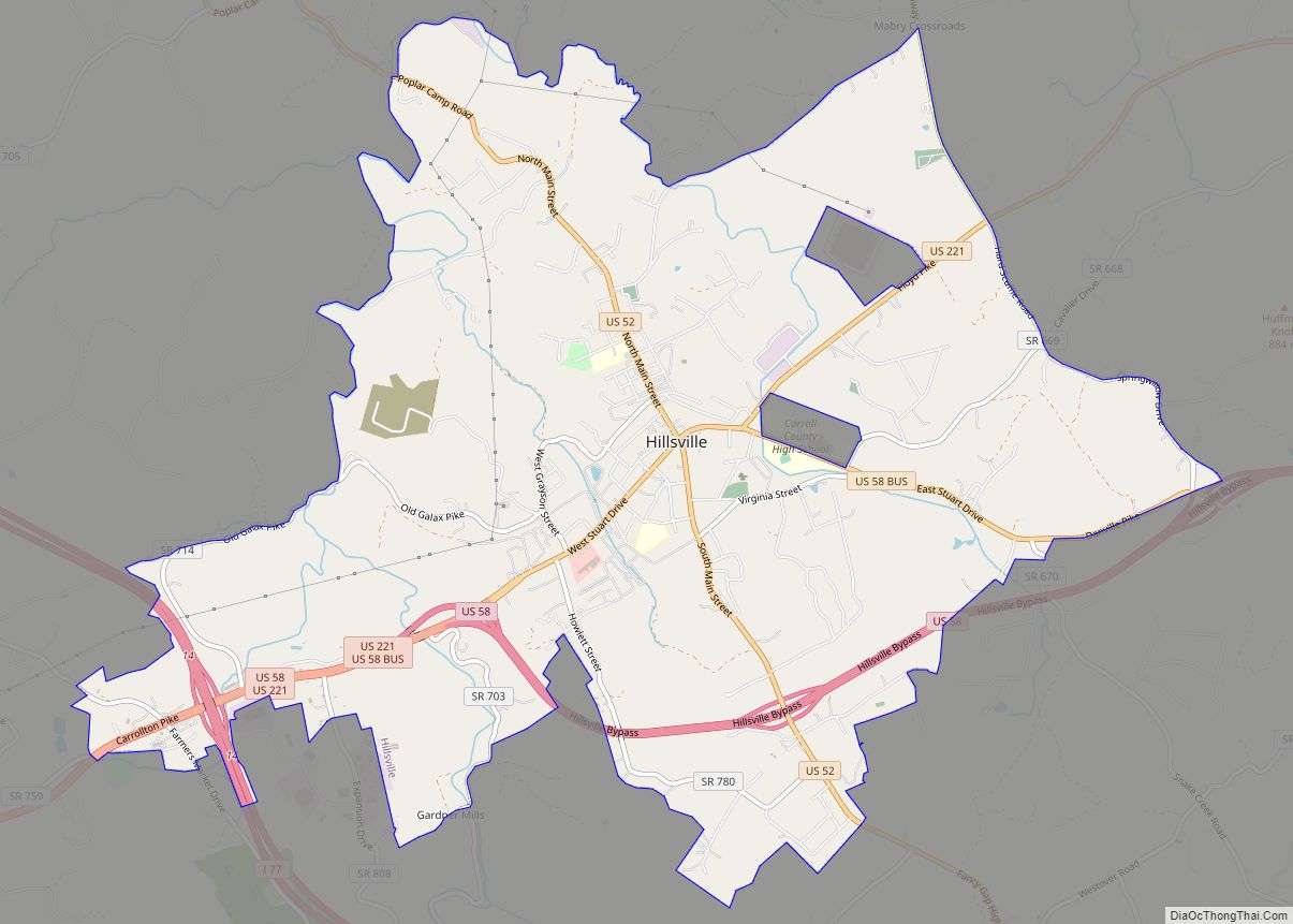
Hillsville Road Map

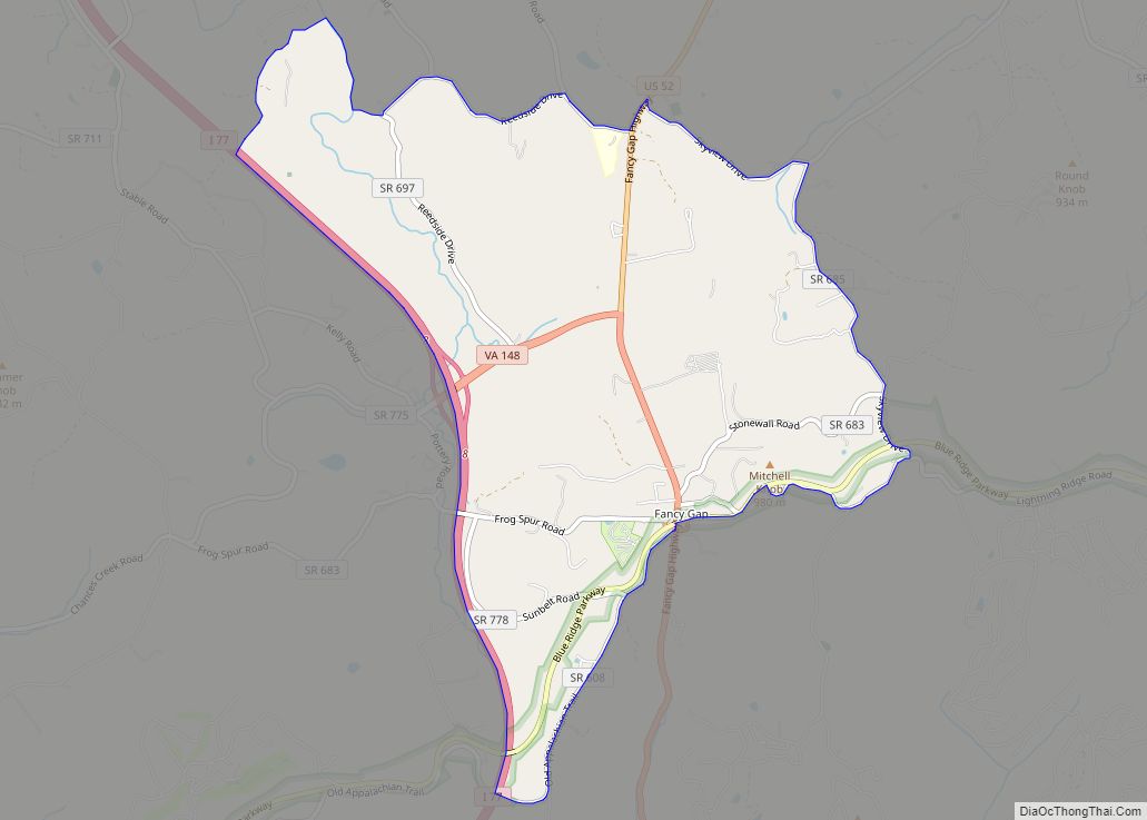
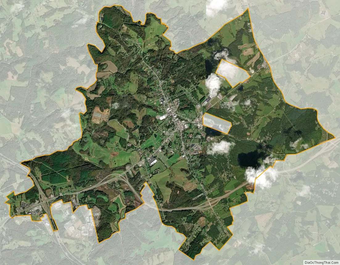
Hillsville city Satellite Map
Geography
Hillsville is located in central Carroll County at 36°45′32″N 80°44′04″W / 36.75889°N 80.73444°W / 36.75889; -80.73444 (36.758814, −80.734510). U.S. Routes 52, 221 and 58 intersect in the center of town. US 52 leads northwest 28 miles (45 km) to Wytheville and south 22 miles (35 km) to Mount Airy, North Carolina, while US 221 leads northeast 70 miles (110 km) to Roanoke and southwest 13 miles (21 km) to Galax. US 58 leads east 63 miles (101 km) to Martinsville and west to Galax with US 221. The Hillsville town limits extend west along US 221 and 58 2.5 miles (4.0 km) to Interstate 77, which leads north 17 miles (27 km) to Interstate 81 east of Wytheville and south 20 miles (32 km) to Interstate 74 in North Carolina.
According to the United States Census Bureau, Hillsville has a total area of 8.9 square miles (23.0 km), of which 0.01 square miles (0.03 km), or 0.11%, is water.
Carroll County is located within the Blue Ridge Mountain range of the Appalachian Mountains. The Blue Ridge Parkway runs through Carroll County 9 miles (14 km) south of Hillsville.
Climate
The climate in this area has mild differences between highs and lows, and there is adequate rainfall year-round. According to the Köppen Climate Classification system, Hillsville has a marine west coast climate, abbreviated “Cfb” on climate maps.
See also
Map of Virginia State and its subdivision:- Accomack
- Albemarle
- Alexandria
- Alleghany
- Amelia
- Amherst
- Appomattox
- Arlington
- Augusta
- Bath
- Bedford
- Bedford City
- Bland
- Botetourt
- Bristol
- Brunswick
- Buchanan
- Buckingham
- Buena Vista
- Campbell
- Caroline
- Carroll
- Charles City
- Charlotte
- Charlottesville
- Chesapeake
- Chesterfield
- Clarke
- Clifton Forge City
- Colonial Heights
- Covington
- Craig
- Culpeper
- Cumberland
- Danville
- Dickenson
- Dinwiddie
- Emporia
- Essex
- Fairfax
- Fairfax City
- Falls Church
- Fauquier
- Floyd
- Fluvanna
- Franklin
- Frederick
- Fredericksburg
- Galax
- Giles
- Gloucester
- Goochland
- Grayson
- Greene
- Greensville
- Halifax
- Hampton
- Hanover
- Harrisonburg
- Henrico
- Henry
- Highland
- Hopewell
- Isle of Wight
- James City
- King and Queen
- King George
- King William
- Lancaster
- Lee
- Lexington
- Loudoun
- Louisa
- Lunenburg
- Lynchburg
- Madison
- Manassas
- Manassas Park
- Martinsville
- Mathews
- Mecklenburg
- Middlesex
- Montgomery
- Nelson
- New Kent
- Newport News
- Norfolk
- Northampton
- Northumberland
- Norton
- Nottoway
- Orange
- Page
- Patrick
- Petersburg
- Pittsylvania
- Poquoson
- Portsmouth
- Powhatan
- Prince Edward
- Prince George
- Prince William
- Pulaski
- Radford
- Rappahannock
- Richmond
- Roanoke
- Roanoke City
- Rockbridge
- Rockingham
- Russell
- Salem
- Scott
- Shenandoah
- Smyth
- Southampton
- Spotsylvania
- Stafford
- Staunton
- Suffolk
- Surry
- Sussex
- Tazewell
- Virginia Beach
- Warren
- Washington
- Waynesboro
- Westmoreland
- Williamsburg
- Winchester
- Wise
- Wythe
- York
- Alabama
- Alaska
- Arizona
- Arkansas
- California
- Colorado
- Connecticut
- Delaware
- District of Columbia
- Florida
- Georgia
- Hawaii
- Idaho
- Illinois
- Indiana
- Iowa
- Kansas
- Kentucky
- Louisiana
- Maine
- Maryland
- Massachusetts
- Michigan
- Minnesota
- Mississippi
- Missouri
- Montana
- Nebraska
- Nevada
- New Hampshire
- New Jersey
- New Mexico
- New York
- North Carolina
- North Dakota
- Ohio
- Oklahoma
- Oregon
- Pennsylvania
- Rhode Island
- South Carolina
- South Dakota
- Tennessee
- Texas
- Utah
- Vermont
- Virginia
- Washington
- West Virginia
- Wisconsin
- Wyoming