Glencoe is a home rule-class city in Gallatin County, Kentucky, in the United States. The population was 360 as of the 2010 census, up from 251 at the 2000 census.
| Name: | Glencoe city |
|---|---|
| LSAD Code: | 25 |
| LSAD Description: | city (suffix) |
| State: | Kentucky |
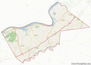
| County: | Gallatin County |
| Elevation: | 548 ft (167 m) |
| Total Area: | 1.78 sq mi (4.60 km²) |
| Land Area: | 1.76 sq mi (4.57 km²) |
| Water Area: | 0.01 sq mi (0.03 km²) |
| Total Population: | 350 |
| Population Density: | 198.41/sq mi (76.62/km²) |
| ZIP code: | 41046 |
| Area code: | 859 |
| FIPS code: | 2131204 |
| GNISfeature ID: | 0492891 |
Online Interactive Map
Click on ![]() to view map in "full screen" mode.
to view map in "full screen" mode.
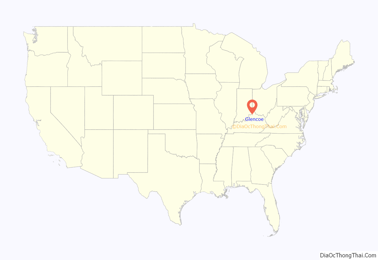
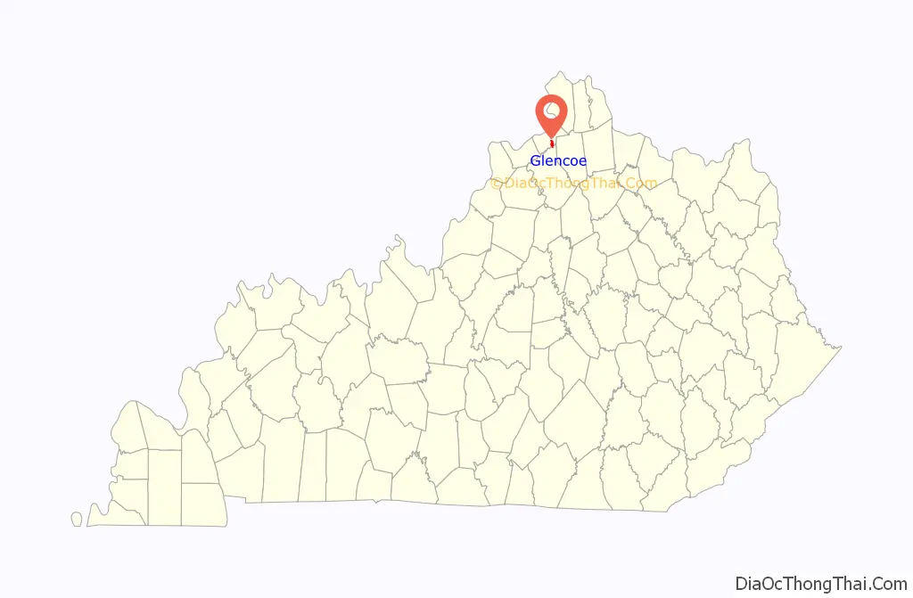
Glencoe location map. Where is Glencoe city?
History
A post office was established in the community in 1848 and named for Glen Coe in Scotland, the site of the Massacre of Glencoe. It was formally incorporated by the state assembly in 1960.
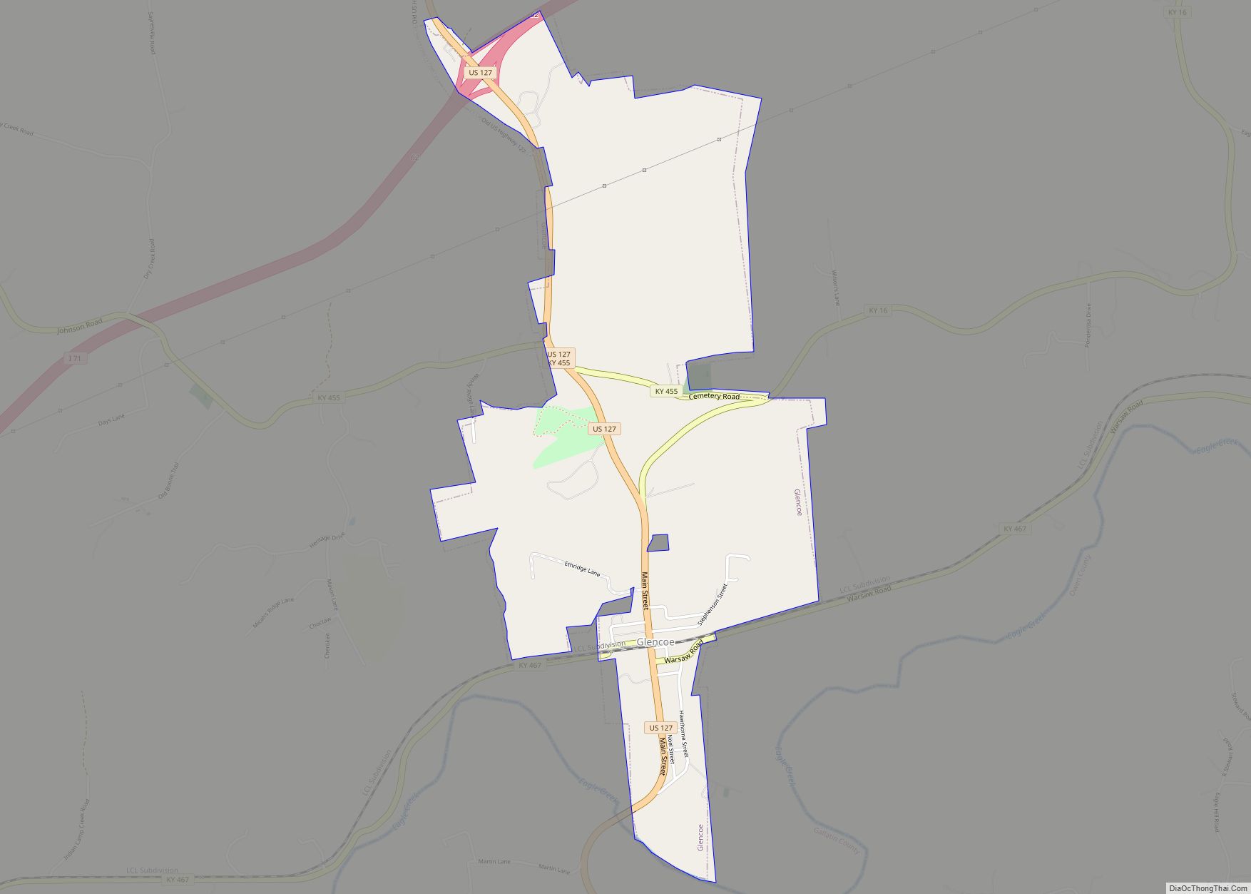
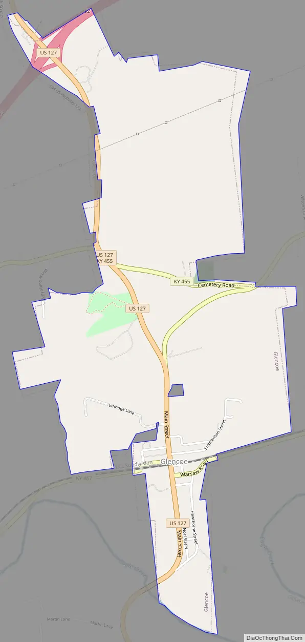
Glencoe Road Map
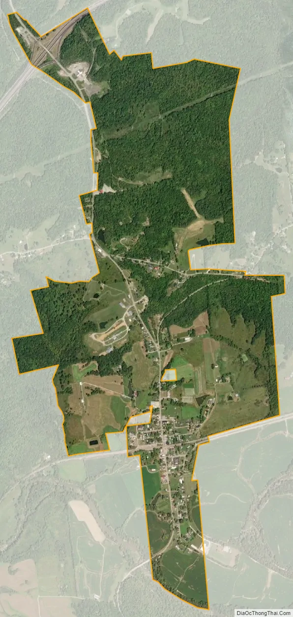
Glencoe city Satellite Map
Geography
Glencoe is located in southeastern Gallatin County at 38°42′48″N 84°49′19″W / 38.71333°N 84.82194°W / 38.71333; -84.82194 (38.713207, -84.821972), in the valley of Eagle Creek. The creek forms part of the southern boundary of the city and also is the Owen County line. U.S. Route 127 passes through the city, leading south 43 miles (69 km) to Frankfort, the state capital. Kentucky Route 467 crosses US 127 in the center of Glencoe, leading east 15 miles (24 km) to Dry Ridge and west 5 miles (8 km) to Sparta. The Glencoe city limits extend north from the center of town 2 miles (3 km) along US 127 to Exit 62 on Interstate 71. From this point, I-71 leads northeast 33 miles (53 km) to Covington and southwest 64 miles (103 km) to Louisville.
According to the United States Census Bureau, the city has a total area of 1.8 square miles (4.6 km), of which 0.01 square miles (0.03 km), or 0.65%, is water. Eagle Creek, which forms the southern edge of town, is a west-flowing tributary of the Kentucky River and part of the Ohio River watershed.
See also
Map of Kentucky State and its subdivision:- Adair
- Allen
- Anderson
- Ballard
- Barren
- Bath
- Bell
- Boone
- Bourbon
- Boyd
- Boyle
- Bracken
- Breathitt
- Breckinridge
- Bullitt
- Butler
- Caldwell
- Calloway
- Campbell
- Carlisle
- Carroll
- Carter
- Casey
- Christian
- Clark
- Clay
- Clinton
- Crittenden
- Cumberland
- Daviess
- Edmonson
- Elliott
- Estill
- Fayette
- Fleming
- Floyd
- Franklin
- Fulton
- Gallatin
- Garrard
- Grant
- Graves
- Grayson
- Green
- Greenup
- Hancock
- Hardin
- Harlan
- Harrison
- Hart
- Henderson
- Henry
- Hickman
- Hopkins
- Jackson
- Jefferson
- Jessamine
- Johnson
- Kenton
- Knott
- Knox
- Larue
- Laurel
- Lawrence
- Lee
- Leslie
- Letcher
- Lewis
- Lincoln
- Livingston
- Logan
- Lyon
- Madison
- Magoffin
- Marion
- Marshall
- Martin
- Mason
- McCracken
- McCreary
- McLean
- Meade
- Menifee
- Mercer
- Metcalfe
- Monroe
- Montgomery
- Morgan
- Muhlenberg
- Nelson
- Nicholas
- Ohio
- Oldham
- Owen
- Owsley
- Pendleton
- Perry
- Pike
- Powell
- Pulaski
- Robertson
- Rockcastle
- Rowan
- Russell
- Scott
- Shelby
- Simpson
- Spencer
- Taylor
- Todd
- Trigg
- Trimble
- Union
- Warren
- Washington
- Wayne
- Webster
- Whitley
- Wolfe
- Woodford
- Alabama
- Alaska
- Arizona
- Arkansas
- California
- Colorado
- Connecticut
- Delaware
- District of Columbia
- Florida
- Georgia
- Hawaii
- Idaho
- Illinois
- Indiana
- Iowa
- Kansas
- Kentucky
- Louisiana
- Maine
- Maryland
- Massachusetts
- Michigan
- Minnesota
- Mississippi
- Missouri
- Montana
- Nebraska
- Nevada
- New Hampshire
- New Jersey
- New Mexico
- New York
- North Carolina
- North Dakota
- Ohio
- Oklahoma
- Oregon
- Pennsylvania
- Rhode Island
- South Carolina
- South Dakota
- Tennessee
- Texas
- Utah
- Vermont
- Virginia
- Washington
- West Virginia
- Wisconsin
- Wyoming