Crewe is a town in Nottoway County, Virginia, United States. The population was 2,326 at the 2010 census.
| Name: | Crewe town |
|---|---|
| LSAD Code: | 43 |
| LSAD Description: | town (suffix) |
| State: | Virginia |
| County: | Nottoway County |
| Elevation: | 531 ft (162 m) |
| Total Area: | 2.02 sq mi (5.22 km²) |
| Land Area: | 2.01 sq mi (5.22 km²) |
| Water Area: | 0.00 sq mi (0.01 km²) |
| Total Population: | 2,326 |
| Population Density: | 1,057.10/sq mi (408.20/km²) |
| ZIP code: | 23930 |
| Area code: | 434 |
| FIPS code: | 5120160 |
| GNISfeature ID: | 1492824 |
Online Interactive Map
Click on ![]() to view map in "full screen" mode.
to view map in "full screen" mode.
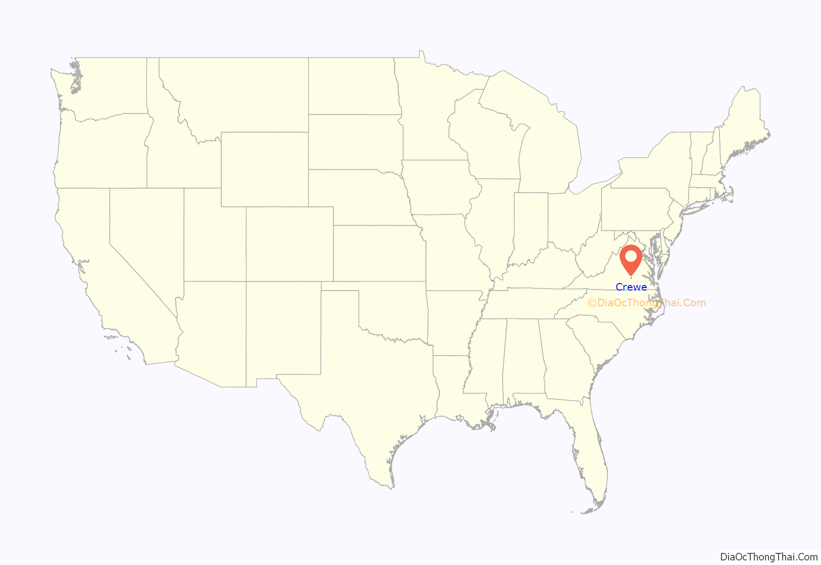
Crewe location map. Where is Crewe town?
History
Crewe was founded in 1888 as a central location to house steam locomotive repair shops for the Norfolk & Western Railroad (now called Norfolk Southern) which has a rail yard there for east–west trains carrying Appalachian coal to Hampton Roads for export abroad, and the street pattern was laid out at that time. It was named after the large railroad town of Crewe, England.
The railroad repair facility’s importance diminished sharply in the 1950s, as the switch to diesel-electric locomotives required less labor and equipment. Crewe has a small railroad museum. Lottie Moon, a noted Baptist missionary to China, is buried in the town cemetery. A chicken festival is held annually on the third Wednesday in June, as well as the town Homecoming Celebration on the third weekend in May.
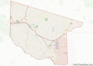
The Battle of Sayler’s Creek, the last major American Civil War engagement before the Army of Northern Virginia’s surrender at Appomattox Court House, occurred nearby. The Southside Electric Cooperative, Piedmont Geriatric Hospital, and Nottoway Correctional Center are located between Crewe and Burkeville.
Millbrook and Mountain Hall are listed on the National Register of Historic Places. Screenwriter and short story writer Robert Buckner was born in the town.
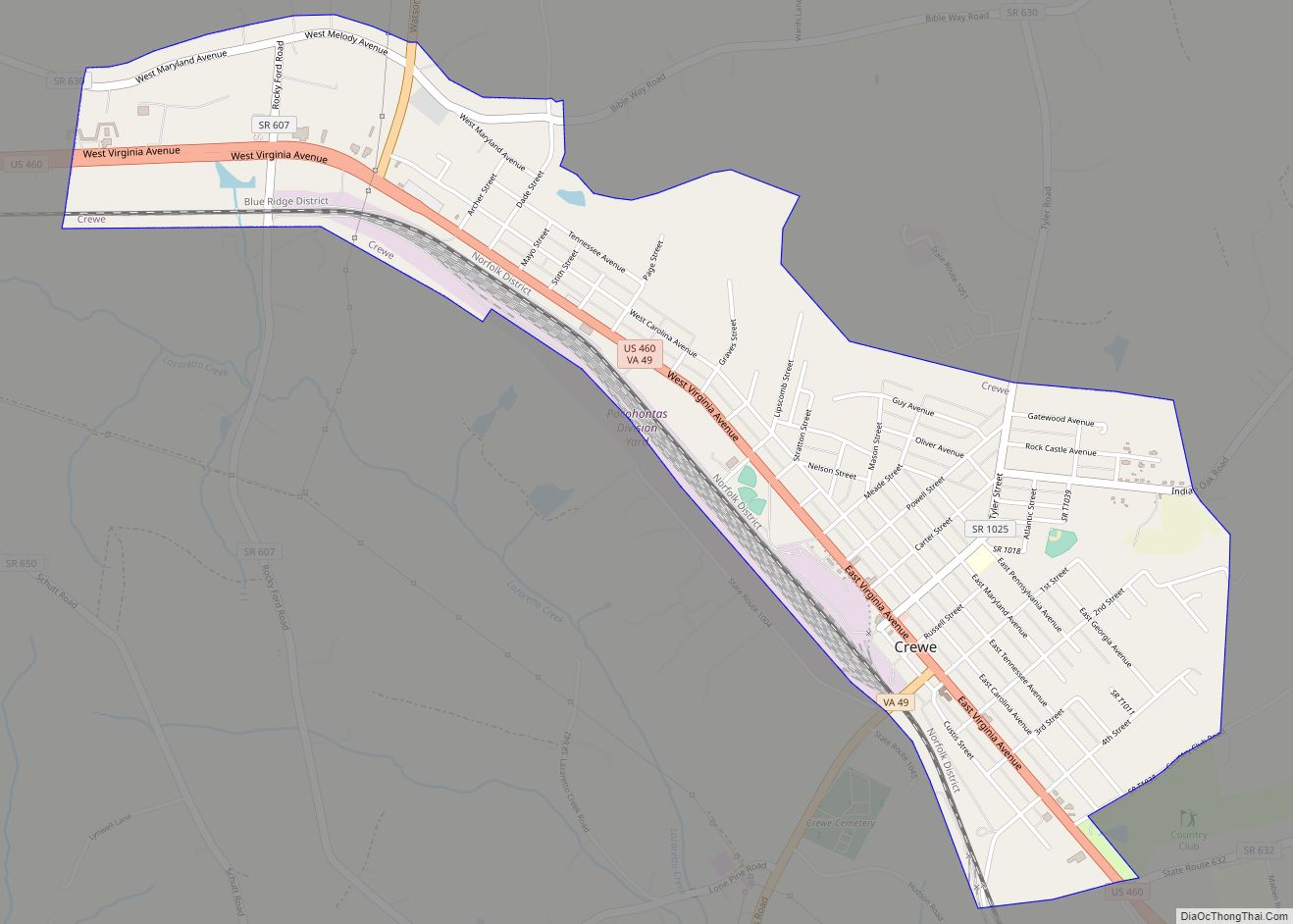
Crewe Road Map
Crewe city Satellite Map
Geography
Crewe is located at 37°10′46″N 78°7′39″W / 37.17944°N 78.12750°W / 37.17944; -78.12750 (37.179316, −78.127549).
According to the United States Census Bureau, the town has a total area of 2.0 square miles (5.3 km), all of it land.
See also
Map of Virginia State and its subdivision:- Accomack
- Albemarle
- Alexandria
- Alleghany
- Amelia
- Amherst
- Appomattox
- Arlington
- Augusta
- Bath
- Bedford
- Bedford City
- Bland
- Botetourt
- Bristol
- Brunswick
- Buchanan
- Buckingham
- Buena Vista
- Campbell
- Caroline
- Carroll
- Charles City
- Charlotte
- Charlottesville
- Chesapeake
- Chesterfield
- Clarke
- Clifton Forge City
- Colonial Heights
- Covington
- Craig
- Culpeper
- Cumberland
- Danville
- Dickenson
- Dinwiddie
- Emporia
- Essex
- Fairfax
- Fairfax City
- Falls Church
- Fauquier
- Floyd
- Fluvanna
- Franklin
- Frederick
- Fredericksburg
- Galax
- Giles
- Gloucester
- Goochland
- Grayson
- Greene
- Greensville
- Halifax
- Hampton
- Hanover
- Harrisonburg
- Henrico
- Henry
- Highland
- Hopewell
- Isle of Wight
- James City
- King and Queen
- King George
- King William
- Lancaster
- Lee
- Lexington
- Loudoun
- Louisa
- Lunenburg
- Lynchburg
- Madison
- Manassas
- Manassas Park
- Martinsville
- Mathews
- Mecklenburg
- Middlesex
- Montgomery
- Nelson
- New Kent
- Newport News
- Norfolk
- Northampton
- Northumberland
- Norton
- Nottoway
- Orange
- Page
- Patrick
- Petersburg
- Pittsylvania
- Poquoson
- Portsmouth
- Powhatan
- Prince Edward
- Prince George
- Prince William
- Pulaski
- Radford
- Rappahannock
- Richmond
- Roanoke
- Roanoke City
- Rockbridge
- Rockingham
- Russell
- Salem
- Scott
- Shenandoah
- Smyth
- Southampton
- Spotsylvania
- Stafford
- Staunton
- Suffolk
- Surry
- Sussex
- Tazewell
- Virginia Beach
- Warren
- Washington
- Waynesboro
- Westmoreland
- Williamsburg
- Winchester
- Wise
- Wythe
- York
- Alabama
- Alaska
- Arizona
- Arkansas
- California
- Colorado
- Connecticut
- Delaware
- District of Columbia
- Florida
- Georgia
- Hawaii
- Idaho
- Illinois
- Indiana
- Iowa
- Kansas
- Kentucky
- Louisiana
- Maine
- Maryland
- Massachusetts
- Michigan
- Minnesota
- Mississippi
- Missouri
- Montana
- Nebraska
- Nevada
- New Hampshire
- New Jersey
- New Mexico
- New York
- North Carolina
- North Dakota
- Ohio
- Oklahoma
- Oregon
- Pennsylvania
- Rhode Island
- South Carolina
- South Dakota
- Tennessee
- Texas
- Utah
- Vermont
- Virginia
- Washington
- West Virginia
- Wisconsin
- Wyoming
