Crosspointe is a census-designated place in Fairfax County, Virginia, United States. The population as of the 2020 census was 5,722.
| Name: | Crosspointe CDP |
|---|---|
| LSAD Code: | 57 |
| LSAD Description: | CDP (suffix) |
| State: | Virginia |
| County: | Fairfax County |
| Founded: | May 17, 1983 |
| Elevation: | 300 ft (90 m) |
| Total Area: | 2.22 sq mi (5.75 km²) |
| Land Area: | 2.20 sq mi (5.70 km²) |
| Water Area: | 0.02 sq mi (0.05 km²) |
| Total Population: | 5,722 |
| Population Density: | 2,600/sq mi (1,003.9/km²) |
| ZIP code: | 22039, 22079 |
| Area code: | 703, 571 |
| FIPS code: | 5120436 |
| GNISfeature ID: | 2584834 |
| Website: | http://www.crosspointe.info/ |
Online Interactive Map
Click on ![]() to view map in "full screen" mode.
to view map in "full screen" mode.
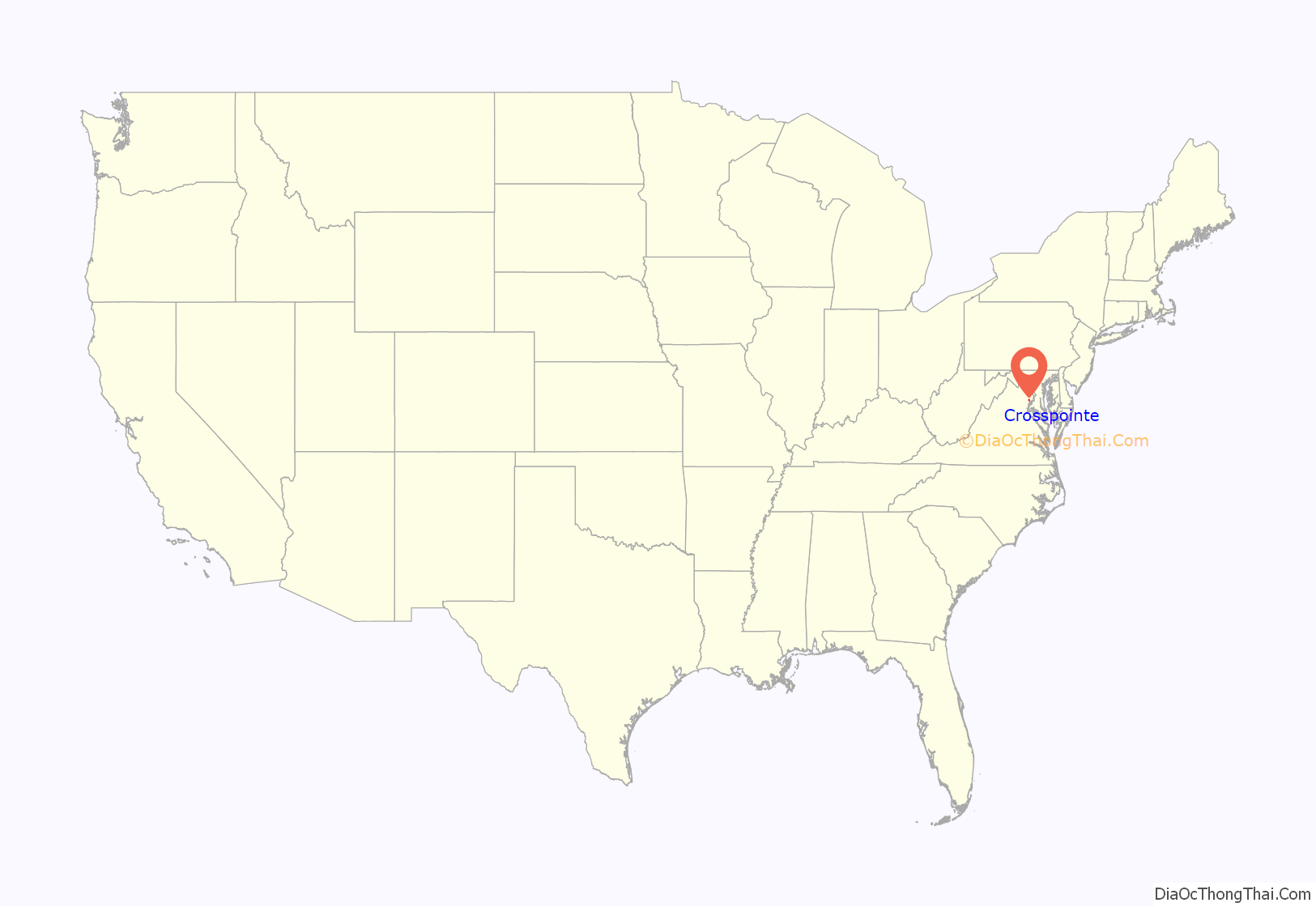
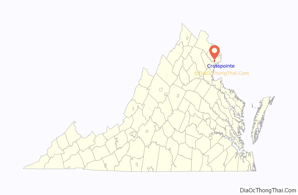
Crosspointe location map. Where is Crosspointe CDP?
History
On May 17, 1983, the William Lyon Company of Newport Beach, California, which owned the land that made up Crosspointe established the Crosspointe Village Homeowners’ Association, a not for profit corporation, to provide services to Crosspointe’s residents. Since then, the community has evolved into an upper middle class suburb of Washington, D.C.
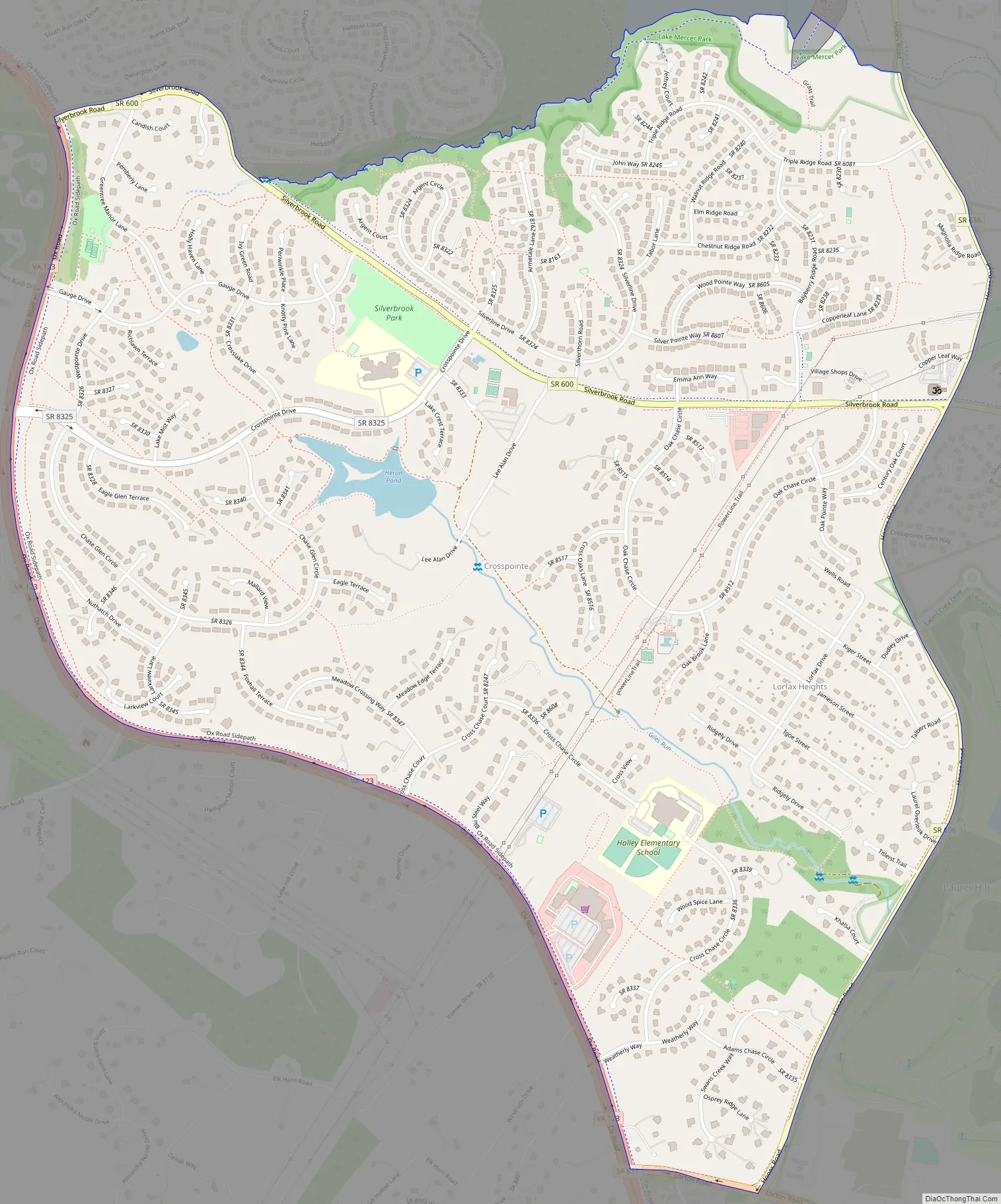
Crosspointe Road Map
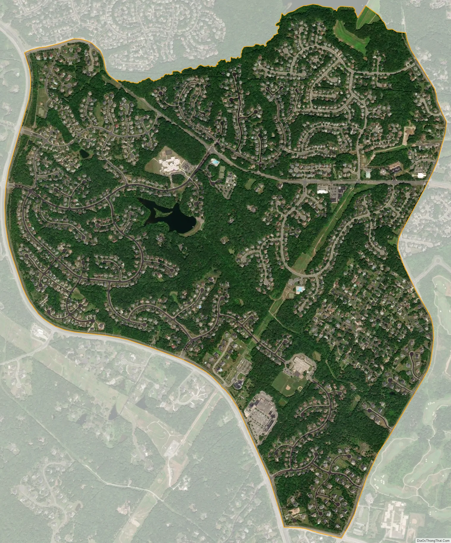
Crosspointe city Satellite Map
Geography
It is located in southeast Fairfax County on the northeast side of Virginia Route 123, 6 miles (10 km) north of Woodbridge and 10 miles (16 km) south of Fairfax. It is bordered to the north by the South Run CDP, to the northeast by the Newington Forest CDP, and to the southeast by the Laurel Hill CDP. According to the U.S. Census Bureau, Crosspointe has a total area of 2.22 square miles (5.75 km), of which 2.20 square miles (5.70 km) is land and 0.019 square miles (0.05 km), or 0.84%, is water. The CDP border is defined as Ox Road to the southwest, Hooes Road to the east, and South Run to the north.
See also
Map of Virginia State and its subdivision:- Accomack
- Albemarle
- Alexandria
- Alleghany
- Amelia
- Amherst
- Appomattox
- Arlington
- Augusta
- Bath
- Bedford
- Bedford City
- Bland
- Botetourt
- Bristol
- Brunswick
- Buchanan
- Buckingham
- Buena Vista
- Campbell
- Caroline
- Carroll
- Charles City
- Charlotte
- Charlottesville
- Chesapeake
- Chesterfield
- Clarke
- Clifton Forge City
- Colonial Heights
- Covington
- Craig
- Culpeper
- Cumberland
- Danville
- Dickenson
- Dinwiddie
- Emporia
- Essex
- Fairfax
- Fairfax City
- Falls Church
- Fauquier
- Floyd
- Fluvanna
- Franklin
- Frederick
- Fredericksburg
- Galax
- Giles
- Gloucester
- Goochland
- Grayson
- Greene
- Greensville
- Halifax
- Hampton
- Hanover
- Harrisonburg
- Henrico
- Henry
- Highland
- Hopewell
- Isle of Wight
- James City
- King and Queen
- King George
- King William
- Lancaster
- Lee
- Lexington
- Loudoun
- Louisa
- Lunenburg
- Lynchburg
- Madison
- Manassas
- Manassas Park
- Martinsville
- Mathews
- Mecklenburg
- Middlesex
- Montgomery
- Nelson
- New Kent
- Newport News
- Norfolk
- Northampton
- Northumberland
- Norton
- Nottoway
- Orange
- Page
- Patrick
- Petersburg
- Pittsylvania
- Poquoson
- Portsmouth
- Powhatan
- Prince Edward
- Prince George
- Prince William
- Pulaski
- Radford
- Rappahannock
- Richmond
- Roanoke
- Roanoke City
- Rockbridge
- Rockingham
- Russell
- Salem
- Scott
- Shenandoah
- Smyth
- Southampton
- Spotsylvania
- Stafford
- Staunton
- Suffolk
- Surry
- Sussex
- Tazewell
- Virginia Beach
- Warren
- Washington
- Waynesboro
- Westmoreland
- Williamsburg
- Winchester
- Wise
- Wythe
- York
- Alabama
- Alaska
- Arizona
- Arkansas
- California
- Colorado
- Connecticut
- Delaware
- District of Columbia
- Florida
- Georgia
- Hawaii
- Idaho
- Illinois
- Indiana
- Iowa
- Kansas
- Kentucky
- Louisiana
- Maine
- Maryland
- Massachusetts
- Michigan
- Minnesota
- Mississippi
- Missouri
- Montana
- Nebraska
- Nevada
- New Hampshire
- New Jersey
- New Mexico
- New York
- North Carolina
- North Dakota
- Ohio
- Oklahoma
- Oregon
- Pennsylvania
- Rhode Island
- South Carolina
- South Dakota
- Tennessee
- Texas
- Utah
- Vermont
- Virginia
- Washington
- West Virginia
- Wisconsin
- Wyoming


