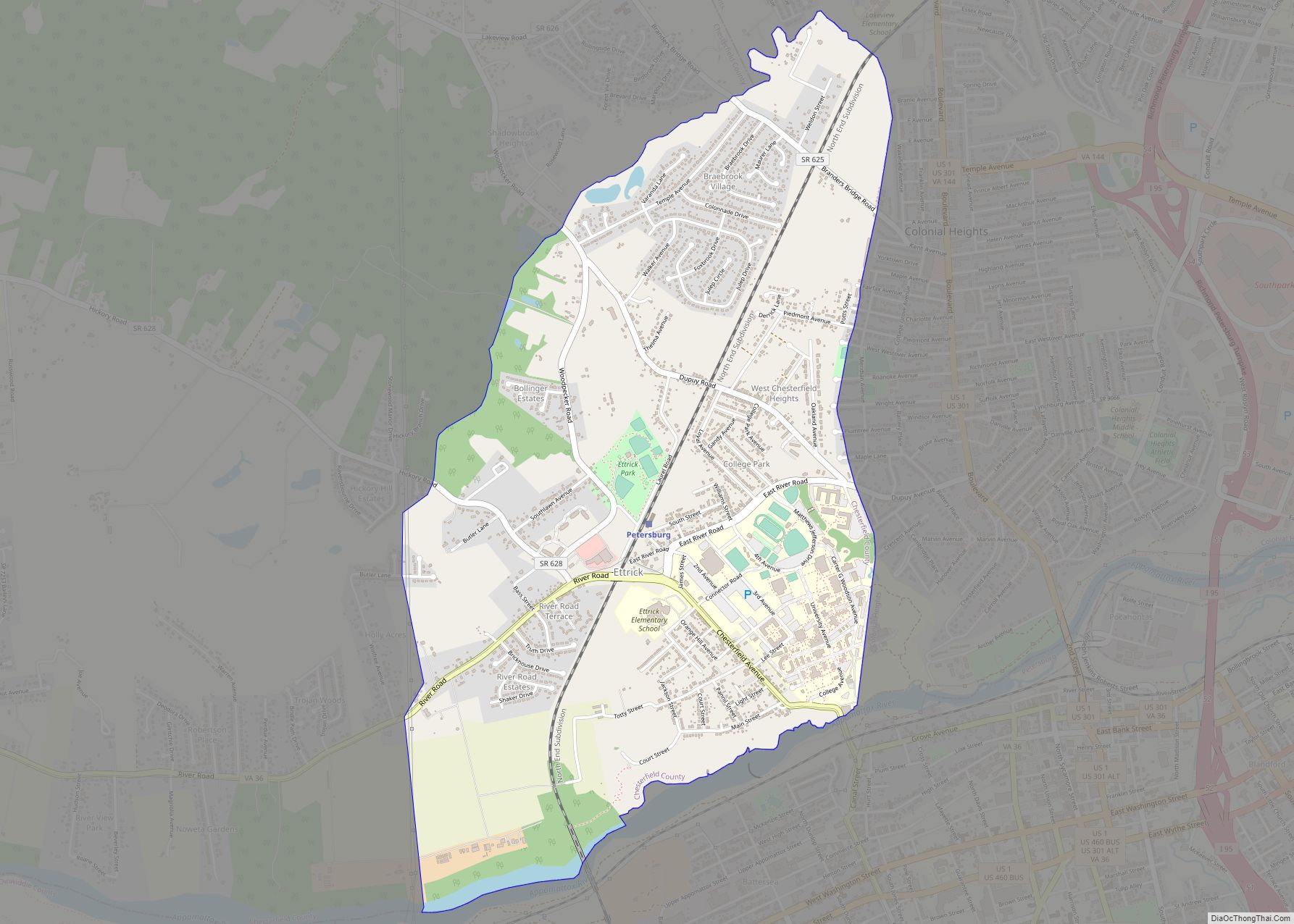
Ettrick is a census-designated place (CDP) in Chesterfield County, Virginia, United States. Per the 2020 census, the population was 7,241. The town is home to Virginia State University and the Petersburg Amtrak train station.
Most of Ettrick has a Petersburg mailing address, ZIP code 23803, although the community is not part of the city of Petersburg.
| Name: | Ettrick CDP |
|---|---|
| LSAD Code: | 57 |
| LSAD Description: | CDP (suffix) |
| State: | Virginia |
| County: | Chesterfield County |
| Elevation: | 105 ft (32 m) |
| Total Area: | 3.0 sq mi (7.8 km²) |
| Land Area: | 2.9 sq mi (7.6 km²) |
| Water Area: | 0.08 sq mi (0.2 km²) |
| Total Population: | 7,241 |
| Population Density: | 2,400/sq mi (930/km²) |
| FIPS code: | 5126128 |
| GNISfeature ID: | 1496888 |
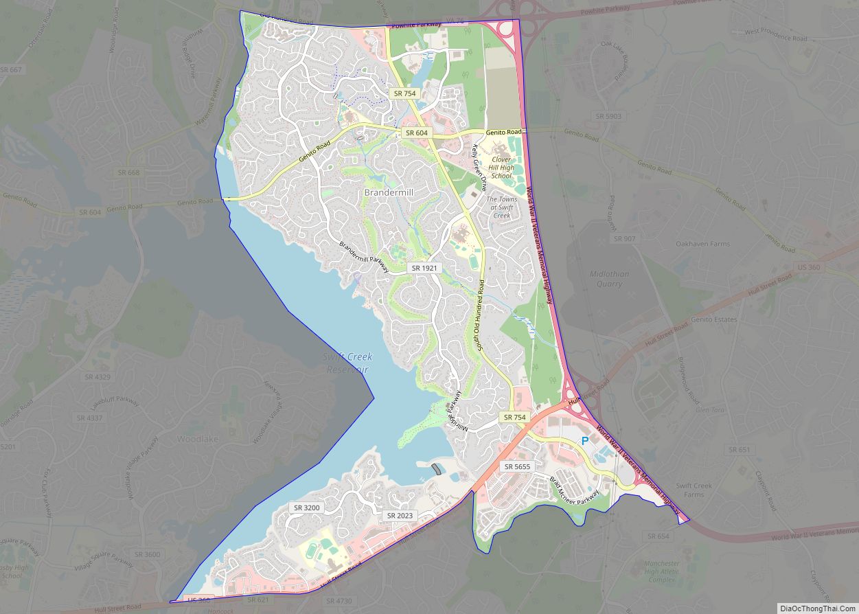
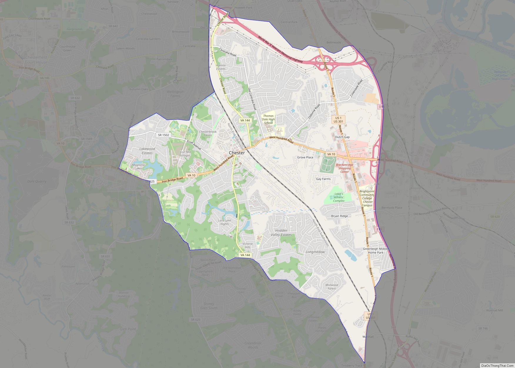
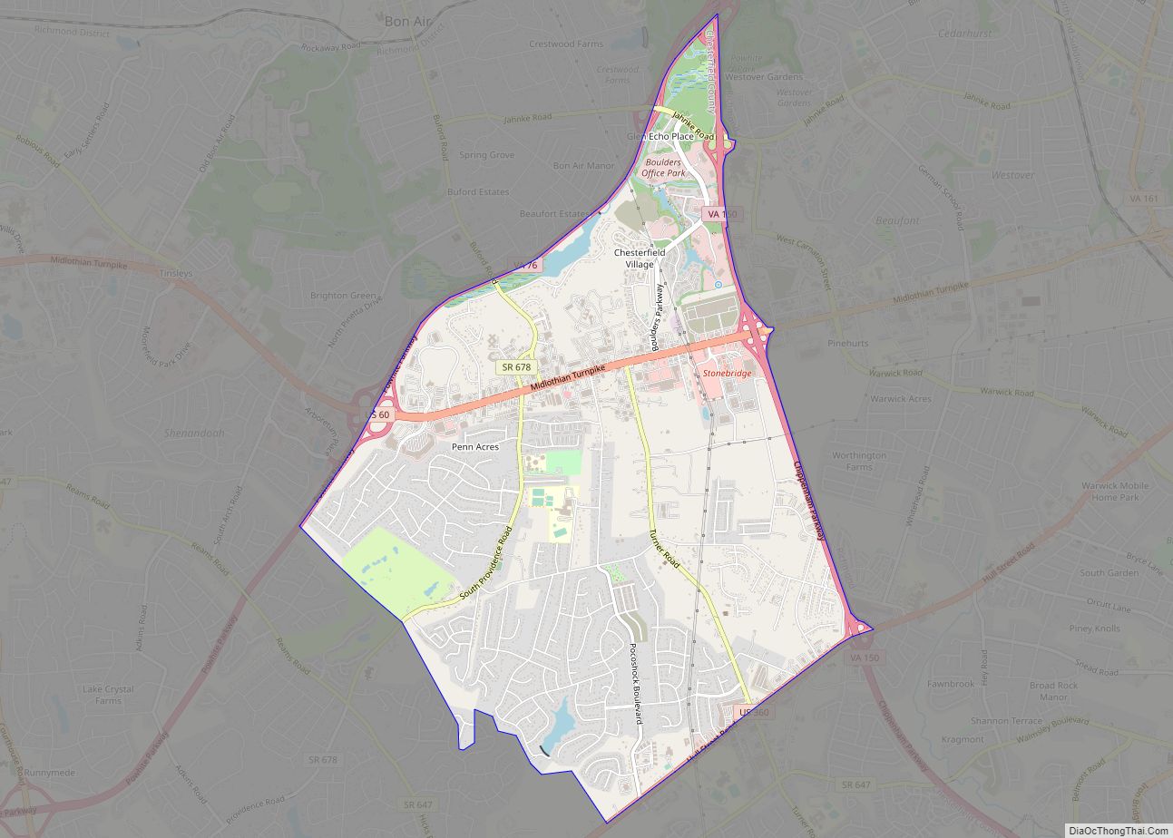
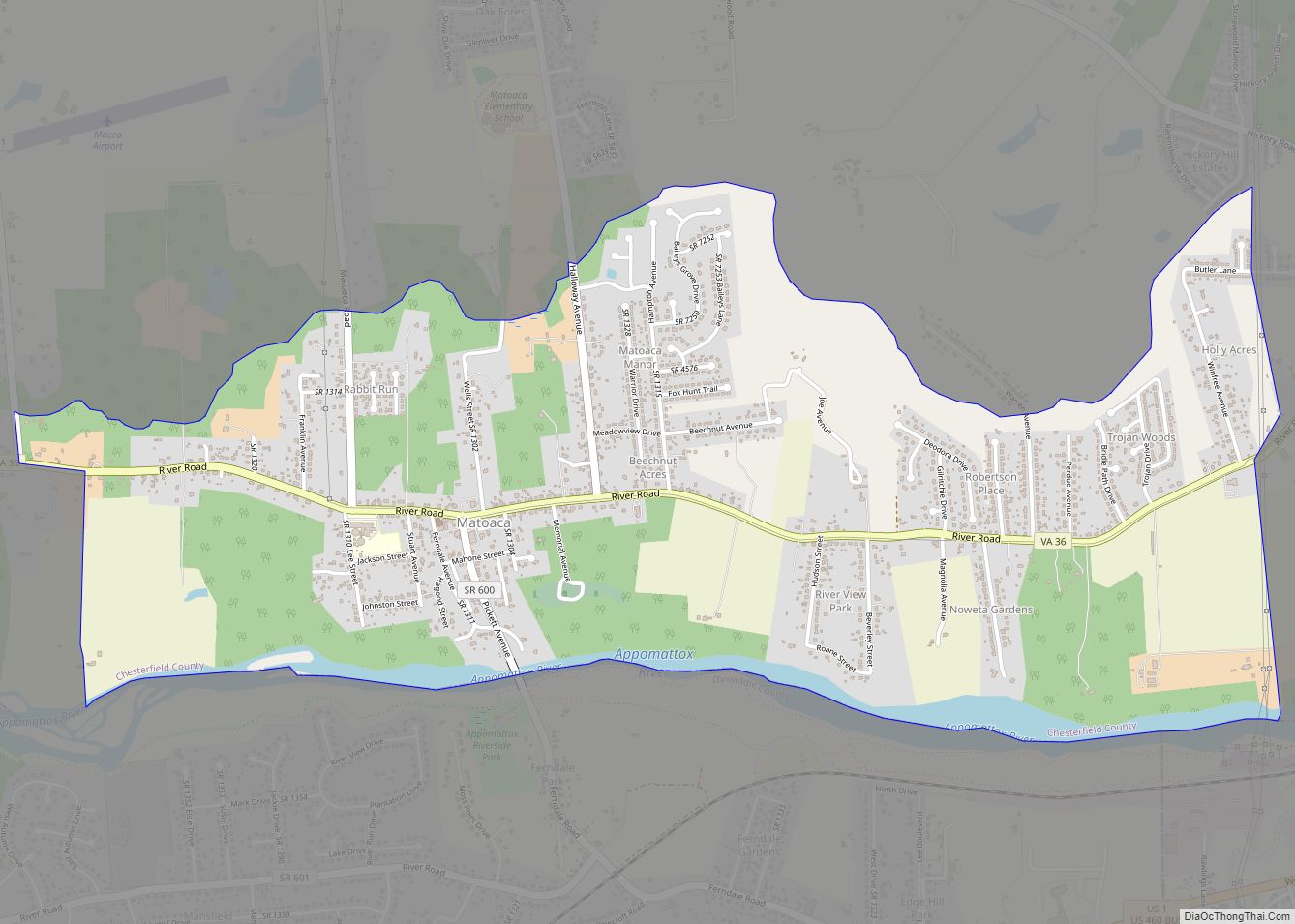
Online Interactive Map
Click on ![]() to view map in "full screen" mode.
to view map in "full screen" mode.
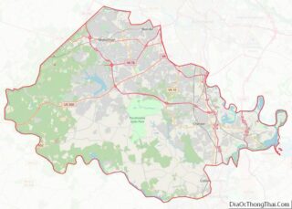
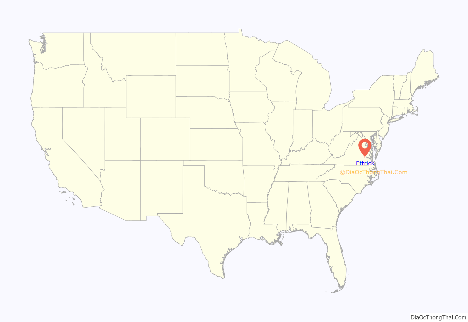
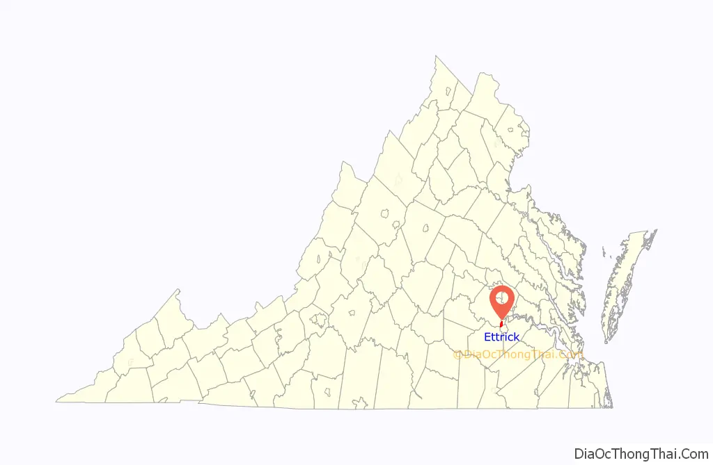
Ettrick location map. Where is Ettrick CDP?
History
Ettrick was named around 1765 by the foreign merchant Neil Buchanan, who dubbed the eventual village Ettrick Banks for its similarities to his native Ettrick area of Selkirk, Scotland.
Capt. Christopher Newport led expeditions in this area. Near Petersburg, which developed as an industrial city, Ettrick also developed industry. It had cotton mills, as it was on the Fall Line and could use water power.
During the American Civil War, the Confederate Army established a large hospital here. In the late nineteenth century, the biracial state legislature established the first state-supported black college, founded here in 1882 as Virginia Normal and Collegiate Institute (now Virginia State University). John Mercer Langston, who founded the Law School at Howard University, was its first president. He was elected as a US Congressman from Virginia from here. Vawter Hall and Old President’s House was listed on the National Register of Historic Places in 1980.
One of the longstanding landmarks is Campbell’s Bridge, first built around 1810. It has been reconstructed several times and is the only direct thoroughfare from the village across the river into Petersburg.
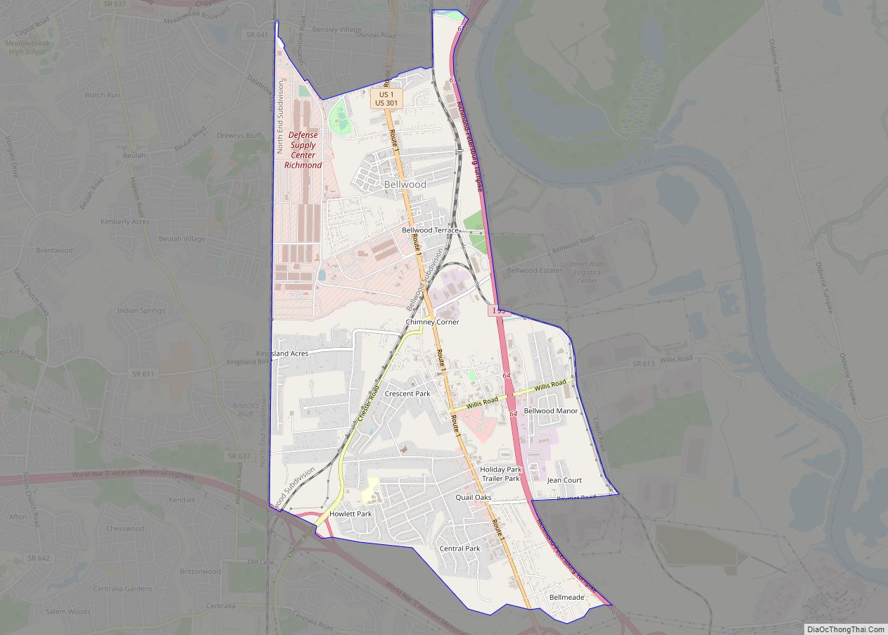
Ettrick Road Map
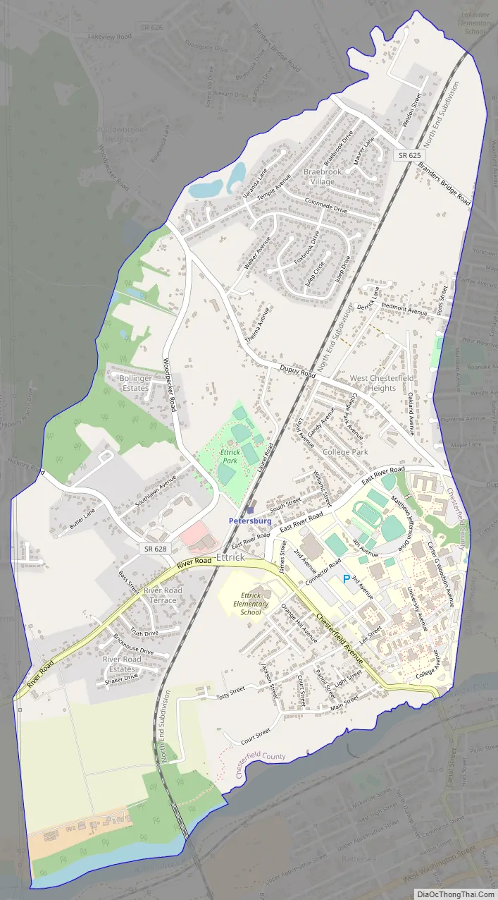
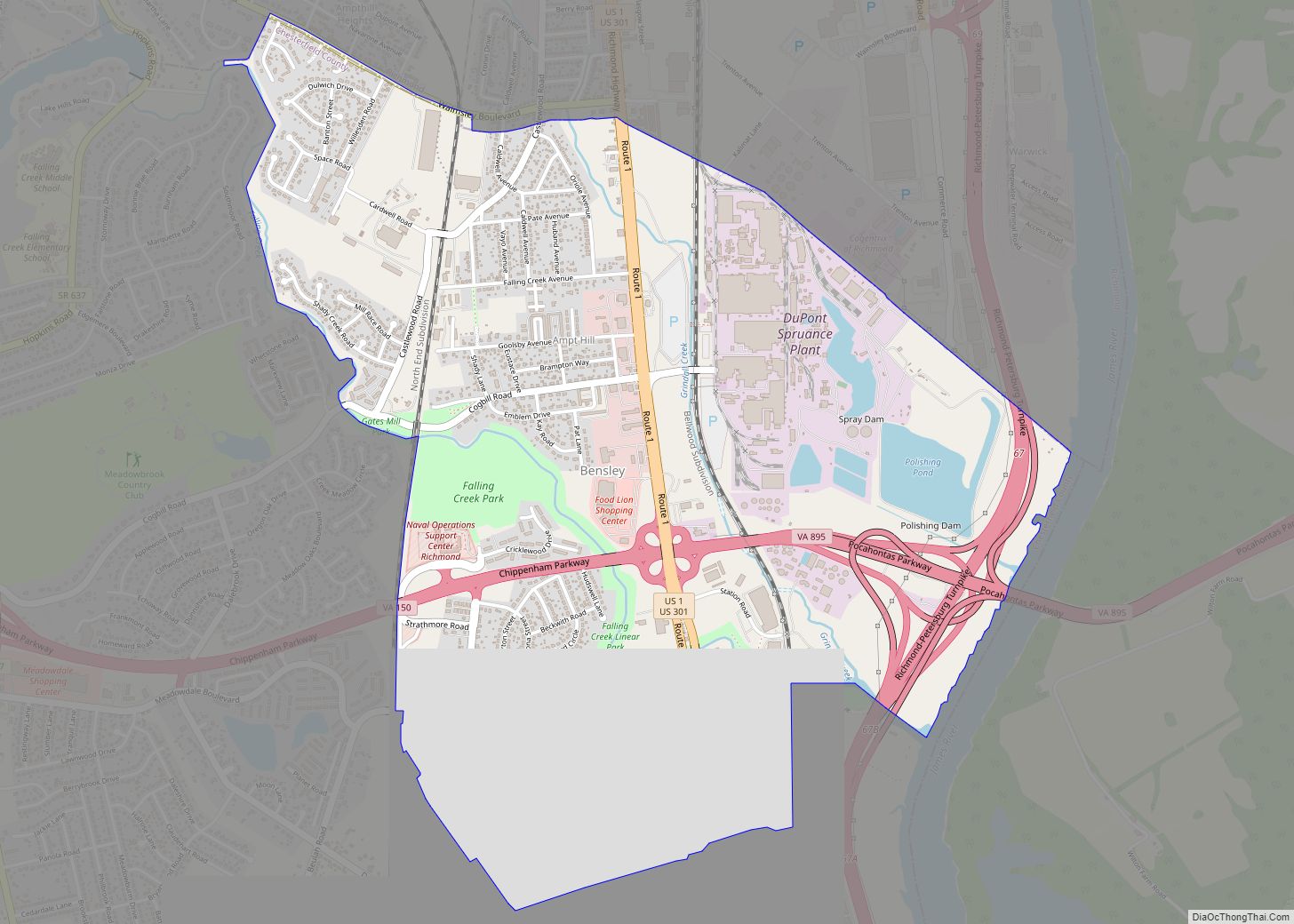
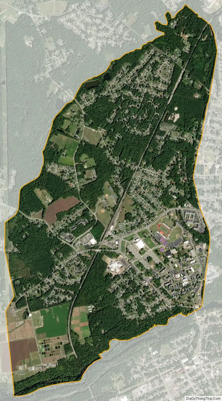
Ettrick city Satellite Map
Geography
Ettrick is located at 37°14′34″N 77°25′32″W / 37.24278°N 77.42556°W / 37.24278; -77.42556 (37.242750, −77.425418).
According to the United States Census Bureau, the CDP has a total area of 3.0 square miles (7.8 km), of which 2.9 square miles (7.6 km) is land and 0.08 square miles (0.2 km), or 2.48%, is water.
See also
Map of Virginia State and its subdivision:- Accomack
- Albemarle
- Alexandria
- Alleghany
- Amelia
- Amherst
- Appomattox
- Arlington
- Augusta
- Bath
- Bedford
- Bedford City
- Bland
- Botetourt
- Bristol
- Brunswick
- Buchanan
- Buckingham
- Buena Vista
- Campbell
- Caroline
- Carroll
- Charles City
- Charlotte
- Charlottesville
- Chesapeake
- Chesterfield
- Clarke
- Clifton Forge City
- Colonial Heights
- Covington
- Craig
- Culpeper
- Cumberland
- Danville
- Dickenson
- Dinwiddie
- Emporia
- Essex
- Fairfax
- Fairfax City
- Falls Church
- Fauquier
- Floyd
- Fluvanna
- Franklin
- Frederick
- Fredericksburg
- Galax
- Giles
- Gloucester
- Goochland
- Grayson
- Greene
- Greensville
- Halifax
- Hampton
- Hanover
- Harrisonburg
- Henrico
- Henry
- Highland
- Hopewell
- Isle of Wight
- James City
- King and Queen
- King George
- King William
- Lancaster
- Lee
- Lexington
- Loudoun
- Louisa
- Lunenburg
- Lynchburg
- Madison
- Manassas
- Manassas Park
- Martinsville
- Mathews
- Mecklenburg
- Middlesex
- Montgomery
- Nelson
- New Kent
- Newport News
- Norfolk
- Northampton
- Northumberland
- Norton
- Nottoway
- Orange
- Page
- Patrick
- Petersburg
- Pittsylvania
- Poquoson
- Portsmouth
- Powhatan
- Prince Edward
- Prince George
- Prince William
- Pulaski
- Radford
- Rappahannock
- Richmond
- Roanoke
- Roanoke City
- Rockbridge
- Rockingham
- Russell
- Salem
- Scott
- Shenandoah
- Smyth
- Southampton
- Spotsylvania
- Stafford
- Staunton
- Suffolk
- Surry
- Sussex
- Tazewell
- Virginia Beach
- Warren
- Washington
- Waynesboro
- Westmoreland
- Williamsburg
- Winchester
- Wise
- Wythe
- York
- Alabama
- Alaska
- Arizona
- Arkansas
- California
- Colorado
- Connecticut
- Delaware
- District of Columbia
- Florida
- Georgia
- Hawaii
- Idaho
- Illinois
- Indiana
- Iowa
- Kansas
- Kentucky
- Louisiana
- Maine
- Maryland
- Massachusetts
- Michigan
- Minnesota
- Mississippi
- Missouri
- Montana
- Nebraska
- Nevada
- New Hampshire
- New Jersey
- New Mexico
- New York
- North Carolina
- North Dakota
- Ohio
- Oklahoma
- Oregon
- Pennsylvania
- Rhode Island
- South Carolina
- South Dakota
- Tennessee
- Texas
- Utah
- Vermont
- Virginia
- Washington
- West Virginia
- Wisconsin
- Wyoming