Gainesville is a census-designated place (CDP) in western Prince William County, Virginia, United States. The population was 17,287 in the 2020 census.
| Name: | Gainesville CDP |
|---|---|
| LSAD Code: | 57 |
| LSAD Description: | CDP (suffix) |
| State: | Virginia |
| County: | Prince William County |
| Elevation: | 354 ft (108 m) |
| Total Area: | 10.3 sq mi (26.6 km²) |
| Land Area: | 9.7 sq mi (25.2 km²) |
| Water Area: | 0.6 sq mi (1.5 km²) |
| Total Population: | 17,287 |
| Population Density: | 1,150.2/sq mi (174.1/km²) |
| ZIP code: | 20155-20156 |
| Area code: | 703, 571 |
| FIPS code: | 5130176 |
| GNISfeature ID: | 1494951 |
Online Interactive Map
Click on ![]() to view map in "full screen" mode.
to view map in "full screen" mode.
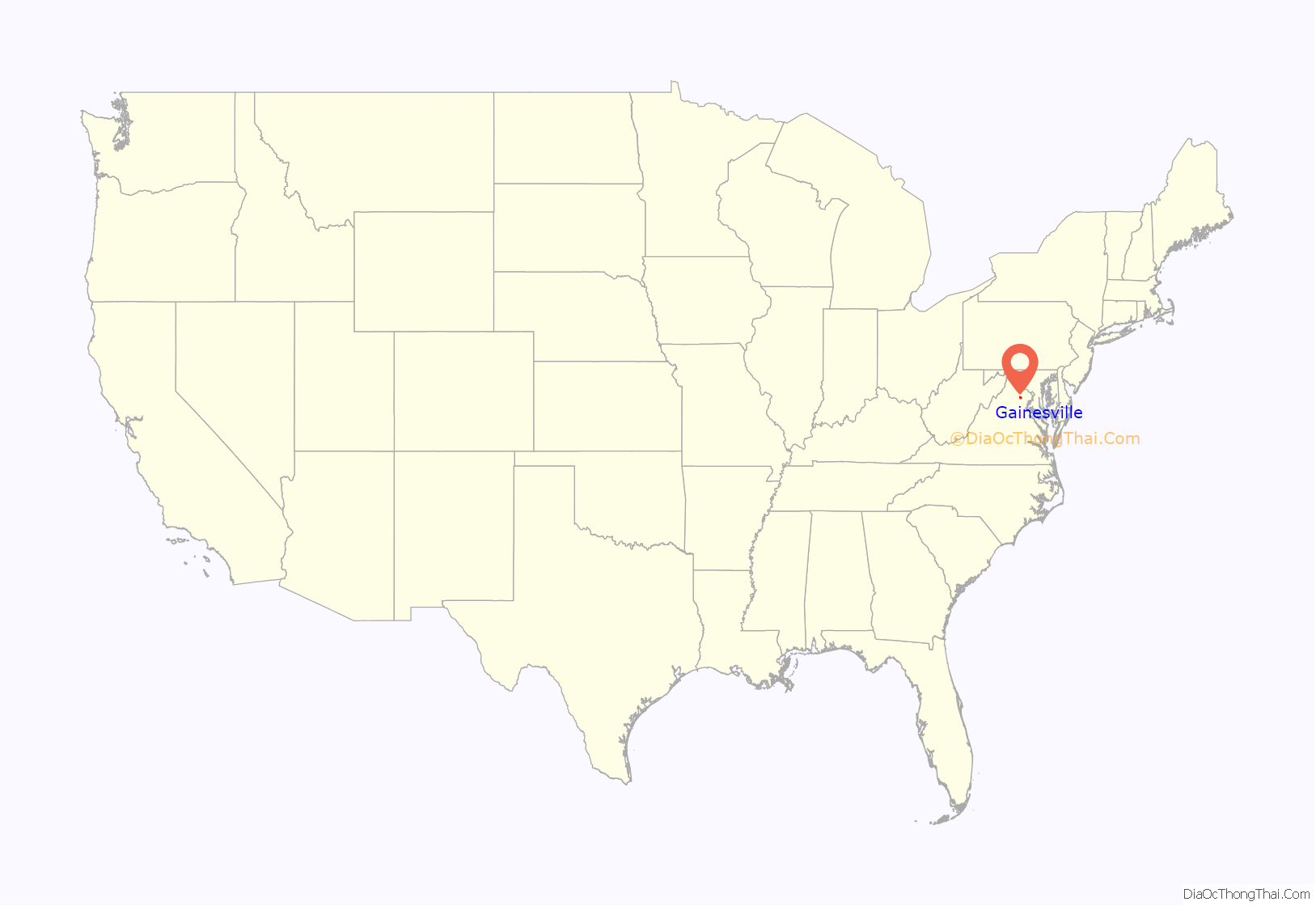
Gainesville location map. Where is Gainesville CDP?
History
Gainesville was once a changing point for stagecoach horses on the Fauquier & Alexandria Turnpike. In earlier times, the village that became known as “Gainesville” actually had two other names, if only briefly. In colonial days, the region was known as the “Middle Grounds,” in reference to its location between Broad Run and Bull Run. In the early 1800s, Samuel Love of Buckland Hall started work on the Warrenton-Alexandria Turnpike. In the hamlet where the turnpike passed through the Middle Grounds, a new stable was erected for stagecoach drivers to switch horses. Other businesses followed, and the settlement became known as New Stable. In 1846, a post office by that name was opened there in Richard Graham’s hotel and store. Mr. Graham also operated a large stable that catered to the drovers and stage drivers and other less pretentious travelers. The person responsible for bringing the railroad through the village was Thomas Brawner Gaines (1814-1856), who had begun buying up property in the area as early as 1835, and later became a major landowner.
In 1850, Thomas Brawner Gaines (1814-1856) sold to the Manassas Gap Railroad a right-of-way through his land along the Warrenton Turnpike (US Route 29). After the railroad was completed to Strasburg, Virginia in 1854, Gaines conveyed additional land for a train depot with the condition that the rail stop take his name. By 1856, a small community with a post office flourished around the Gainesville depot.
Gainesville became a shipping point for grain, timber, and cattle and remained a major cattle shipping point into the early 1960s. During the American Civil War, Gainesville was occupied by both Confederate and Union armies and nearby Thoroughfare Gap in the Bull Run Mountains served as a path for soldiers to reach the First and Second battles of Bull Run. Into the early 1940s the Southern Railway operated passenger service from Harrisonburg and Strasburg Junction through Gainesville, to Manassas and Washington’s Union Station. In 1994, the groundbreaking for Gainesville’s first townhome community began; it was named Crossroads. This marked the beginning of mass-development for Gainesville.
In 2006, the VDOT began working on the Gainesville Interchange improvement project, with construction officially starting in July 2011, in order to ease the traffic in the rapidly growing Gainesville-Haymarket area. It was completed on July 9, 2015.
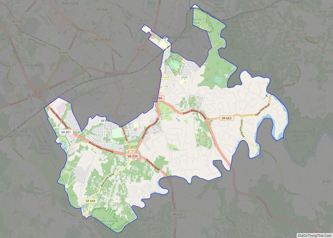
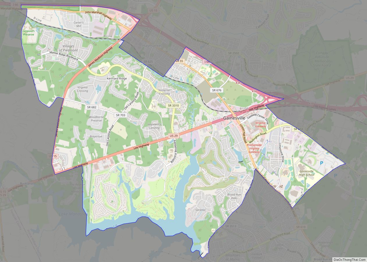
Gainesville Road Map
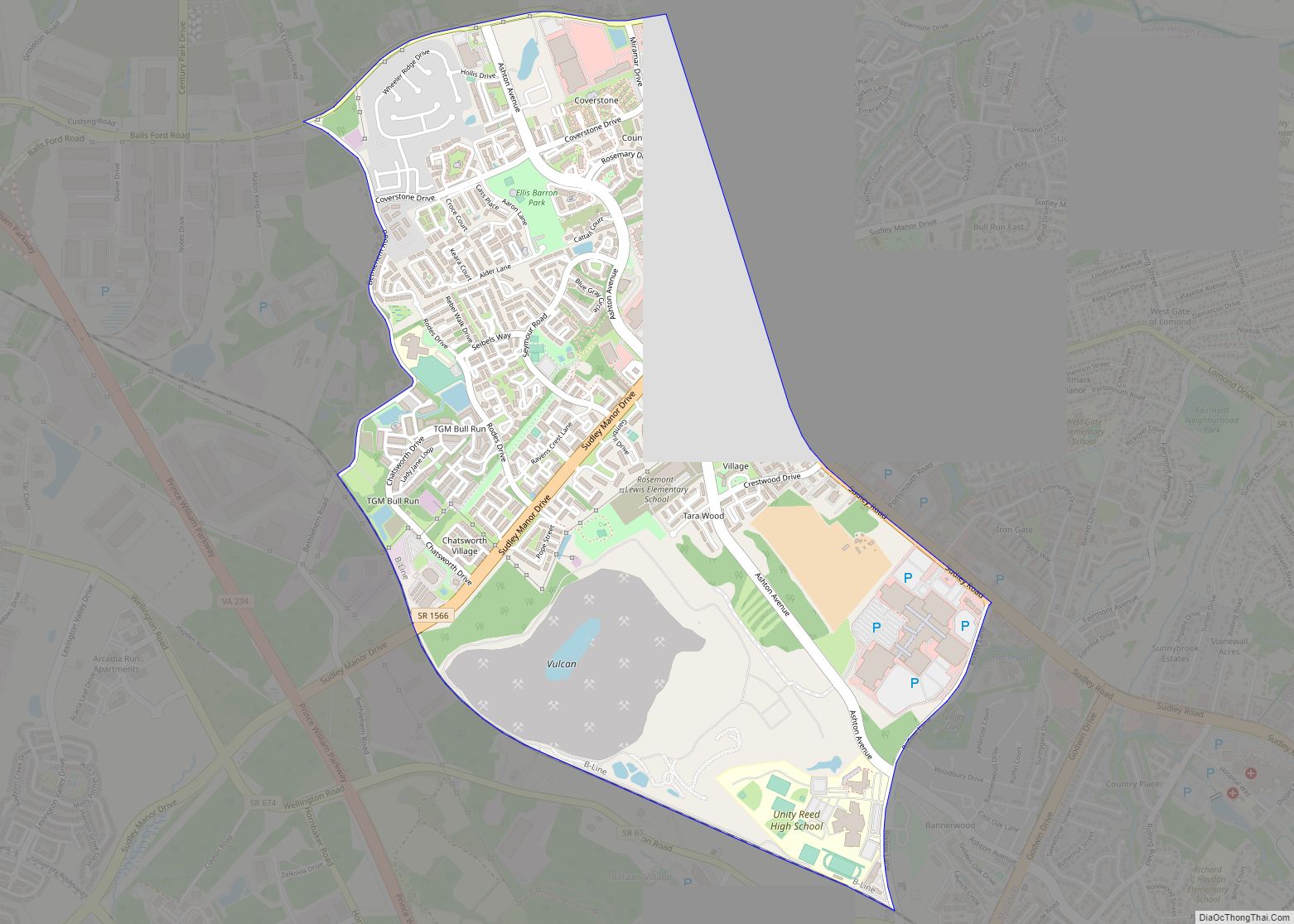
Gainesville city Satellite Map
Geography
Gainesville is located at 38°47′41″N 77°37′14″W / 38.79472°N 77.62056°W / 38.79472; -77.62056 (38.794784, −77.620651).
According to the United States Census Bureau, the CDP has a total area of 10.3 square miles (26.6 km), of which 9.7 square miles (25.2 km) is land and 0.6 square mile (1.5 km) (5.45%) is water.
Climate
Gainesville has a humid subtropical climate (Köppen climate classification Cfa), with mild winters with brief cold snaps, and hot and humid summers with frequent thunderstorms. Spring and autumn are pleasantly warm. January is the coldest month with highs around 45 °F and lows around 25 °F. July is the warmest month, with highs around 90 °F and lows around 65 °F.
See also
Map of Virginia State and its subdivision:- Accomack
- Albemarle
- Alexandria
- Alleghany
- Amelia
- Amherst
- Appomattox
- Arlington
- Augusta
- Bath
- Bedford
- Bedford City
- Bland
- Botetourt
- Bristol
- Brunswick
- Buchanan
- Buckingham
- Buena Vista
- Campbell
- Caroline
- Carroll
- Charles City
- Charlotte
- Charlottesville
- Chesapeake
- Chesterfield
- Clarke
- Clifton Forge City
- Colonial Heights
- Covington
- Craig
- Culpeper
- Cumberland
- Danville
- Dickenson
- Dinwiddie
- Emporia
- Essex
- Fairfax
- Fairfax City
- Falls Church
- Fauquier
- Floyd
- Fluvanna
- Franklin
- Frederick
- Fredericksburg
- Galax
- Giles
- Gloucester
- Goochland
- Grayson
- Greene
- Greensville
- Halifax
- Hampton
- Hanover
- Harrisonburg
- Henrico
- Henry
- Highland
- Hopewell
- Isle of Wight
- James City
- King and Queen
- King George
- King William
- Lancaster
- Lee
- Lexington
- Loudoun
- Louisa
- Lunenburg
- Lynchburg
- Madison
- Manassas
- Manassas Park
- Martinsville
- Mathews
- Mecklenburg
- Middlesex
- Montgomery
- Nelson
- New Kent
- Newport News
- Norfolk
- Northampton
- Northumberland
- Norton
- Nottoway
- Orange
- Page
- Patrick
- Petersburg
- Pittsylvania
- Poquoson
- Portsmouth
- Powhatan
- Prince Edward
- Prince George
- Prince William
- Pulaski
- Radford
- Rappahannock
- Richmond
- Roanoke
- Roanoke City
- Rockbridge
- Rockingham
- Russell
- Salem
- Scott
- Shenandoah
- Smyth
- Southampton
- Spotsylvania
- Stafford
- Staunton
- Suffolk
- Surry
- Sussex
- Tazewell
- Virginia Beach
- Warren
- Washington
- Waynesboro
- Westmoreland
- Williamsburg
- Winchester
- Wise
- Wythe
- York
- Alabama
- Alaska
- Arizona
- Arkansas
- California
- Colorado
- Connecticut
- Delaware
- District of Columbia
- Florida
- Georgia
- Hawaii
- Idaho
- Illinois
- Indiana
- Iowa
- Kansas
- Kentucky
- Louisiana
- Maine
- Maryland
- Massachusetts
- Michigan
- Minnesota
- Mississippi
- Missouri
- Montana
- Nebraska
- Nevada
- New Hampshire
- New Jersey
- New Mexico
- New York
- North Carolina
- North Dakota
- Ohio
- Oklahoma
- Oregon
- Pennsylvania
- Rhode Island
- South Carolina
- South Dakota
- Tennessee
- Texas
- Utah
- Vermont
- Virginia
- Washington
- West Virginia
- Wisconsin
- Wyoming
