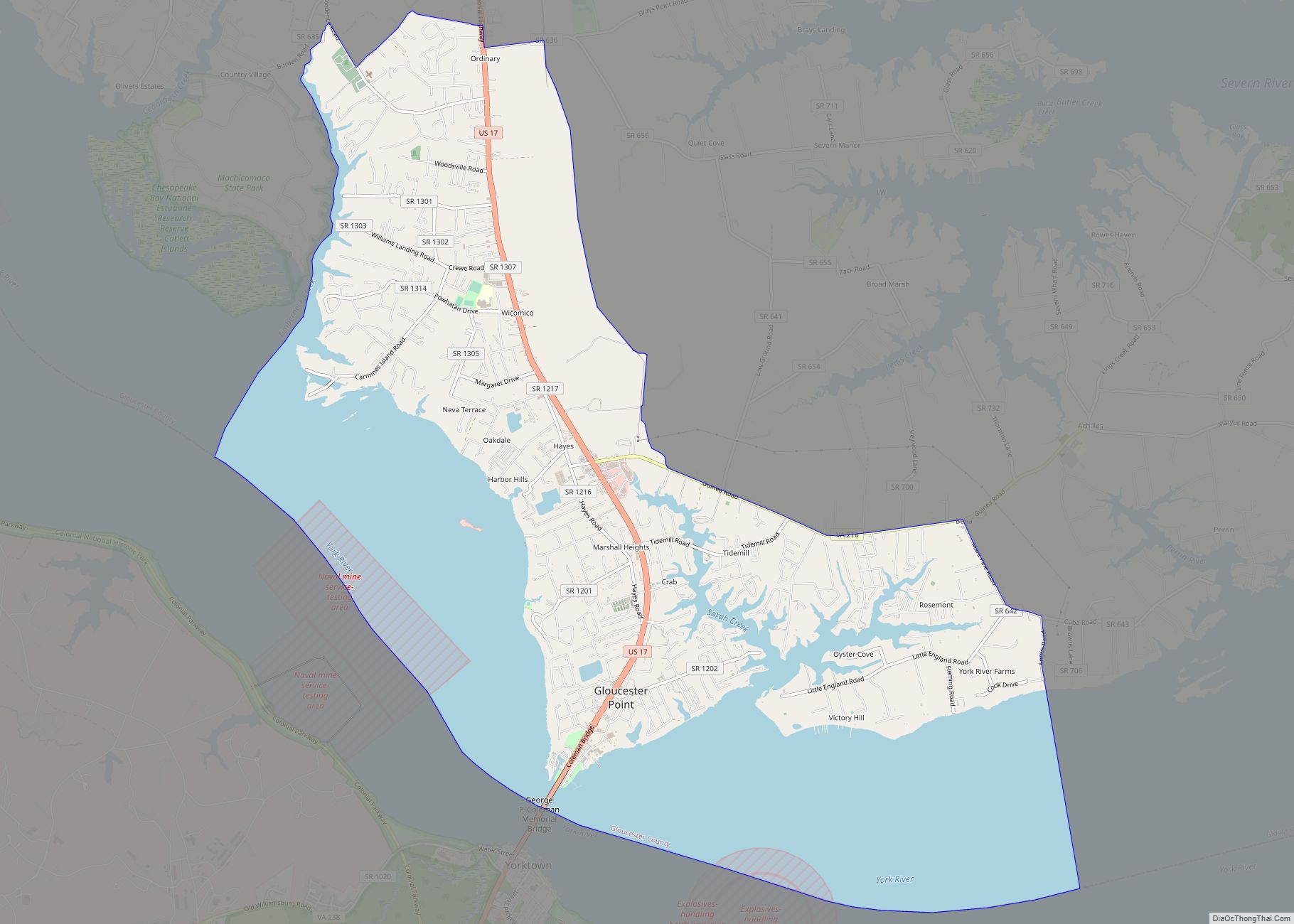
Gloucester Point is a census-designated place (CDP) in Gloucester County, Virginia, United States. The population was 9,402 at the 2010 census. It is home to the College of William & Mary’s Virginia Institute of Marine Science, a graduate school for the study of oceanography.
| Name: | Gloucester Point CDP |
|---|---|
| LSAD Code: | 57 |
| LSAD Description: | CDP (suffix) |
| State: | Virginia |
| County: | Gloucester County |
| Elevation: | 33 ft (10 m) |
| Total Area: | 16.4 sq mi (42.4 km²) |
| Land Area: | 9.4 sq mi (24.3 km²) |
| Water Area: | 7.0 sq mi (18.1 km²) |
| Total Population: | 9,402 |
| Population Density: | 1,000/sq mi (386.2/km²) |
| ZIP code: | 23062 |
| Area code: | 804 |
| FIPS code: | 5131616 |
| GNISfeature ID: | 1493008 |
Online Interactive Map
Click on ![]() to view map in "full screen" mode.
to view map in "full screen" mode.
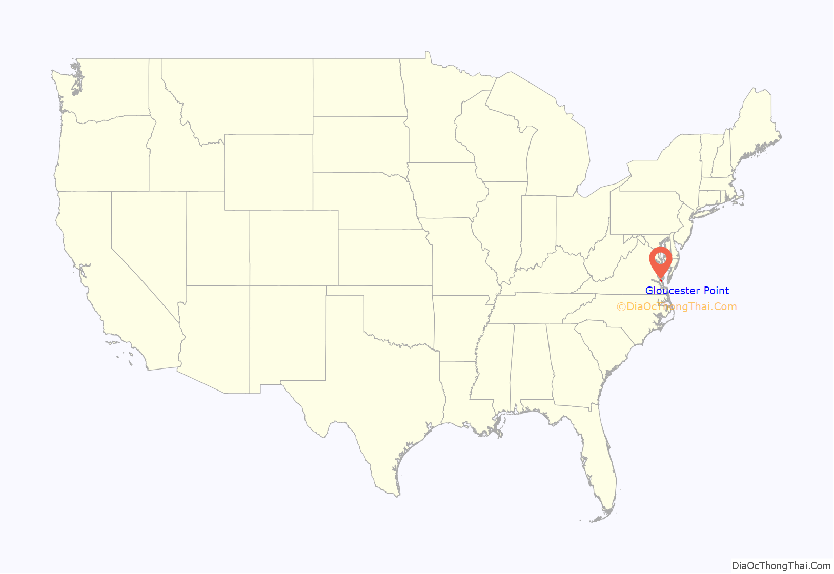
Gloucester Point location map. Where is Gloucester Point CDP?

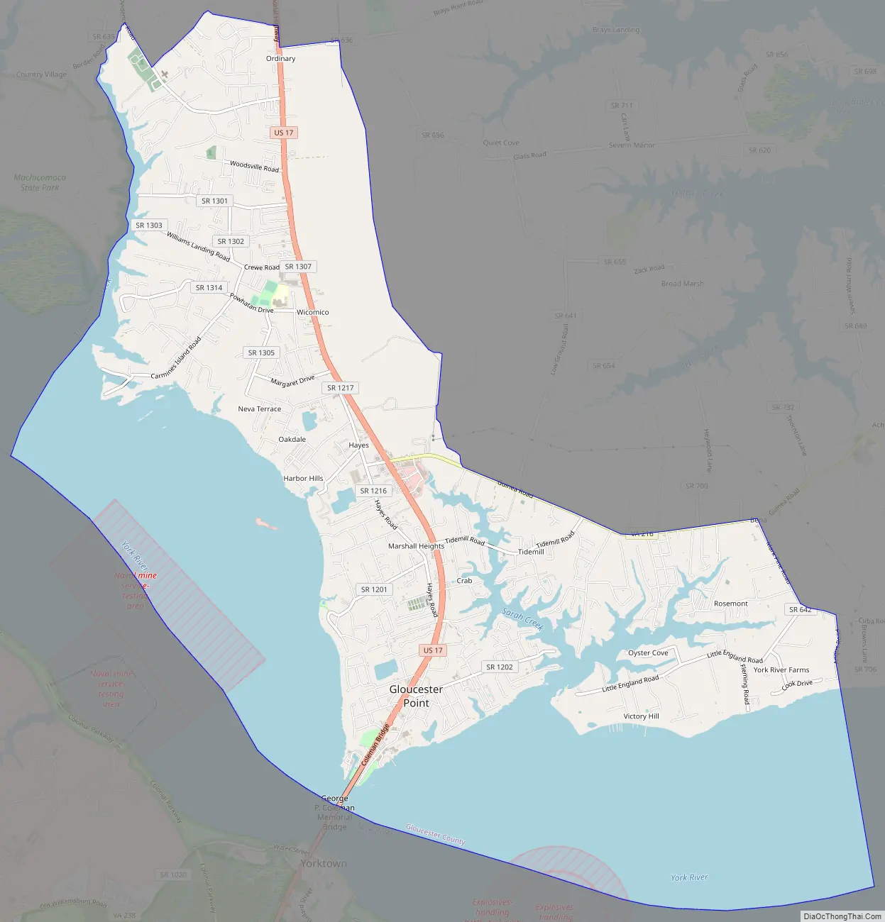
Gloucester Point Road Map
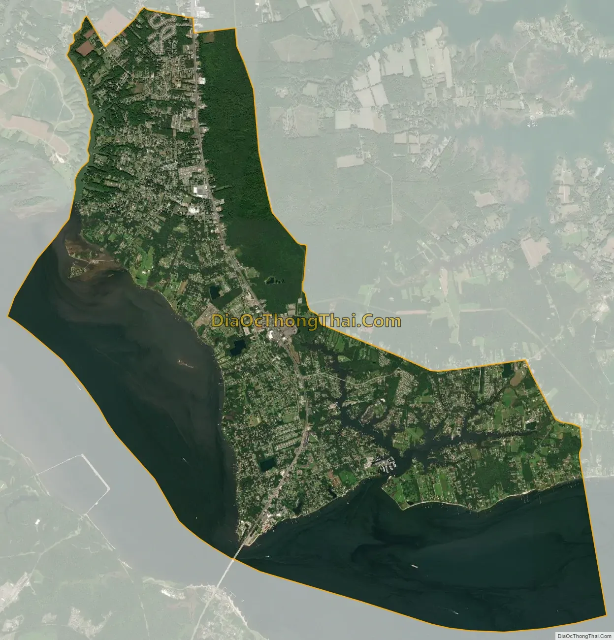
Gloucester Point city Satellite Map
Geography
Gloucester Point is located in southern Gloucester County at 37°16′12″N 76°29′55″W / 37.27000°N 76.49861°W / 37.27000; -76.49861 (37.269907, −76.498604), on the north side of the York River in southeastern Virginia. To the south across the river on U.S. Route 17 and the George P. Coleman Memorial Bridge is Yorktown, site of the conclusion of the American Revolutionary War. From Gloucester Point, US 17 leads south through Yorktown 18 miles (29 km) to the center of Newport News and north 12 miles (19 km) to Gloucester Courthouse, the Gloucester County seat.
According to the United States Census Bureau, the Gloucester Point CDP has a total area of 16.4 square miles (42.4 km), of which 9.4 square miles (24.3 km) are land and 7.0 square miles (18.1 km), or 42.58%, are water, consisting of the tidal York River and its inlets, including Sarah Creek and part of Timberneck Creek.
See also
Map of Virginia State and its subdivision:- Accomack
- Albemarle
- Alexandria
- Alleghany
- Amelia
- Amherst
- Appomattox
- Arlington
- Augusta
- Bath
- Bedford
- Bedford City
- Bland
- Botetourt
- Bristol
- Brunswick
- Buchanan
- Buckingham
- Buena Vista
- Campbell
- Caroline
- Carroll
- Charles City
- Charlotte
- Charlottesville
- Chesapeake
- Chesterfield
- Clarke
- Clifton Forge City
- Colonial Heights
- Covington
- Craig
- Culpeper
- Cumberland
- Danville
- Dickenson
- Dinwiddie
- Emporia
- Essex
- Fairfax
- Fairfax City
- Falls Church
- Fauquier
- Floyd
- Fluvanna
- Franklin
- Frederick
- Fredericksburg
- Galax
- Giles
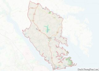
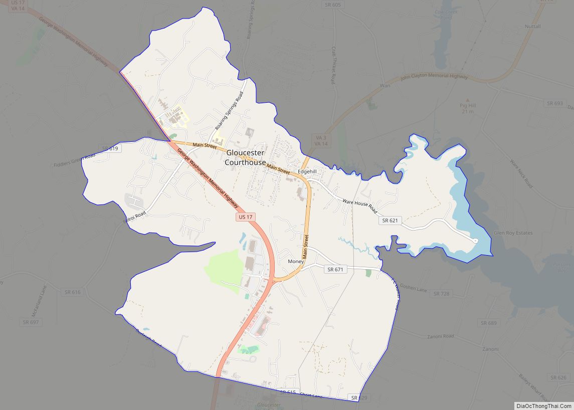
- Gloucester
- Goochland
- Grayson
- Greene
- Greensville
- Halifax
- Hampton
- Hanover
- Harrisonburg
- Henrico
- Henry
- Highland
- Hopewell
- Isle of Wight
- James City
- King and Queen
- King George
- King William
- Lancaster
- Lee
- Lexington
- Loudoun
- Louisa
- Lunenburg
- Lynchburg
- Madison
- Manassas
- Manassas Park
- Martinsville
- Mathews
- Mecklenburg
- Middlesex
- Montgomery
- Nelson
- New Kent
- Newport News
- Norfolk
- Northampton
- Northumberland
- Norton
- Nottoway
- Orange
- Page
- Patrick
- Petersburg
- Pittsylvania
- Poquoson
- Portsmouth
- Powhatan
- Prince Edward
- Prince George
- Prince William
- Pulaski
- Radford
- Rappahannock
- Richmond
- Roanoke
- Roanoke City
- Rockbridge
- Rockingham
- Russell
- Salem
- Scott
- Shenandoah
- Smyth
- Southampton
- Spotsylvania
- Stafford
- Staunton
- Suffolk
- Surry
- Sussex
- Tazewell
- Virginia Beach
- Warren
- Washington
- Waynesboro
- Westmoreland
- Williamsburg
- Winchester
- Wise
- Wythe
- York
- Alabama
- Alaska
- Arizona
- Arkansas
- California
- Colorado
- Connecticut
- Delaware
- District of Columbia
- Florida
- Georgia
- Hawaii
- Idaho
- Illinois
- Indiana
- Iowa
- Kansas
- Kentucky
- Louisiana
- Maine
- Maryland
- Massachusetts
- Michigan
- Minnesota
- Mississippi
- Missouri
- Montana
- Nebraska
- Nevada
- New Hampshire
- New Jersey
- New Mexico
- New York
- North Carolina
- North Dakota
- Ohio
- Oklahoma
- Oregon
- Pennsylvania
- Rhode Island
- South Carolina
- South Dakota
- Tennessee
- Texas
- Utah
- Vermont
- Virginia
- Washington
- West Virginia
- Wisconsin
- Wyoming