Hampden Sydney is a census-designated place (CDP) in Prince Edward County, Virginia, United States. The population was 1,450 at the 2010 census.
Hampden Sydney is the home of Hampden–Sydney College, a private all-male college that is the tenth-oldest institution of higher education in the United States.
| Name: | Hampden-Sydney CDP |
|---|---|
| LSAD Code: | 57 |
| LSAD Description: | CDP (suffix) |
| State: | Virginia |
| County: | Prince Edward County |
| Elevation: | 538 ft (164 m) |
| Total Area: | 3.895 sq mi (10.087877 km²) |
| Land Area: | 3.878 sq mi (10.044629 km²) |
| Water Area: | 0.017 sq mi (0.043248 km²) |
| Total Population: | 1,450 |
| Population Density: | 322.2/sq mi (126.1/km²) |
| ZIP code: | 23943 |
| Area code: | 434 |
| FIPS code: | 5134304 |
| GNISfeature ID: | 1495648 |
Online Interactive Map
Click on ![]() to view map in "full screen" mode.
to view map in "full screen" mode.
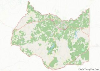
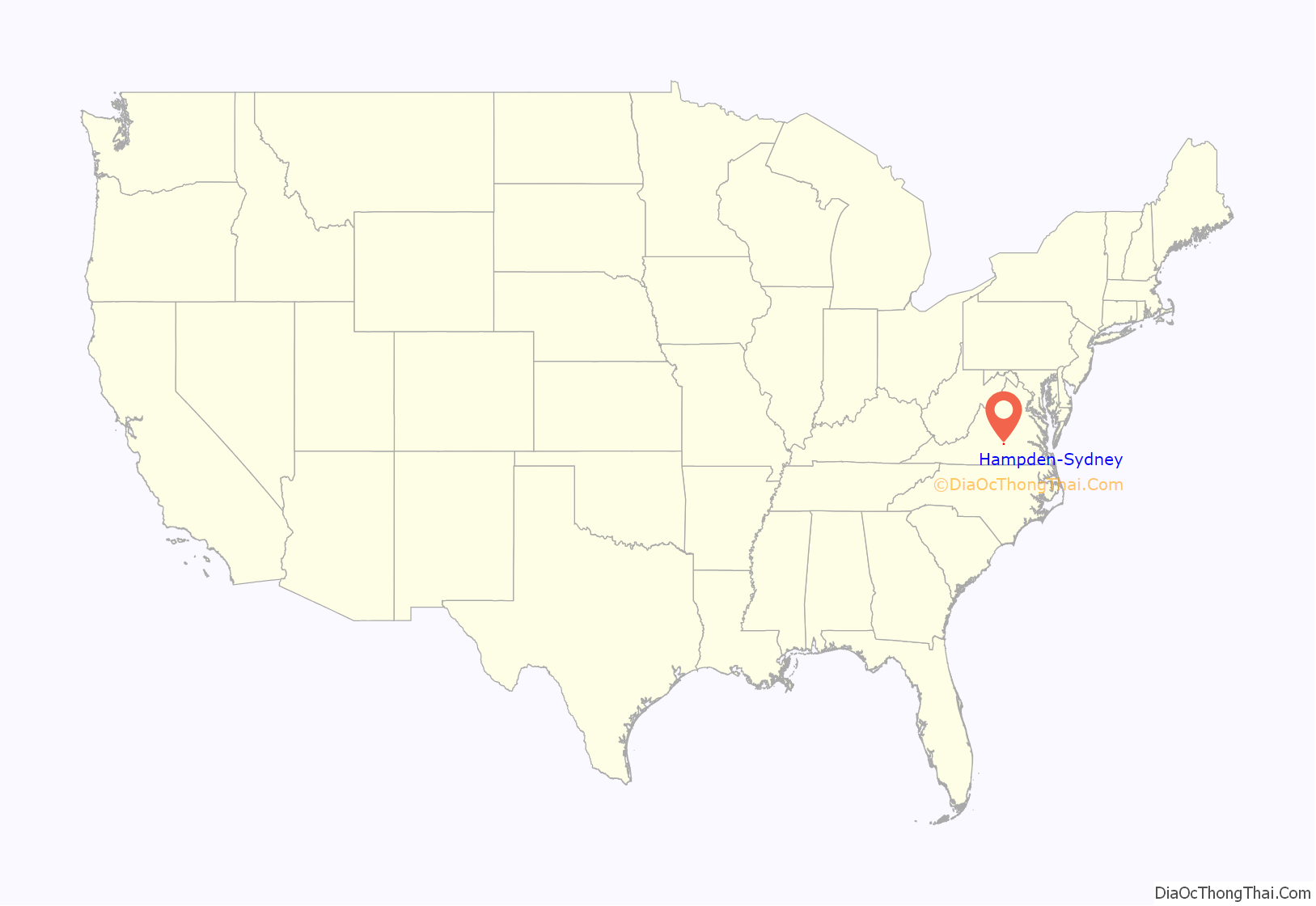
Hampden-Sydney location map. Where is Hampden-Sydney CDP?
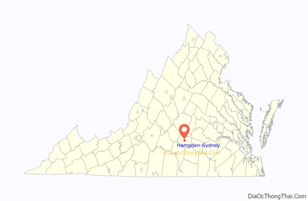
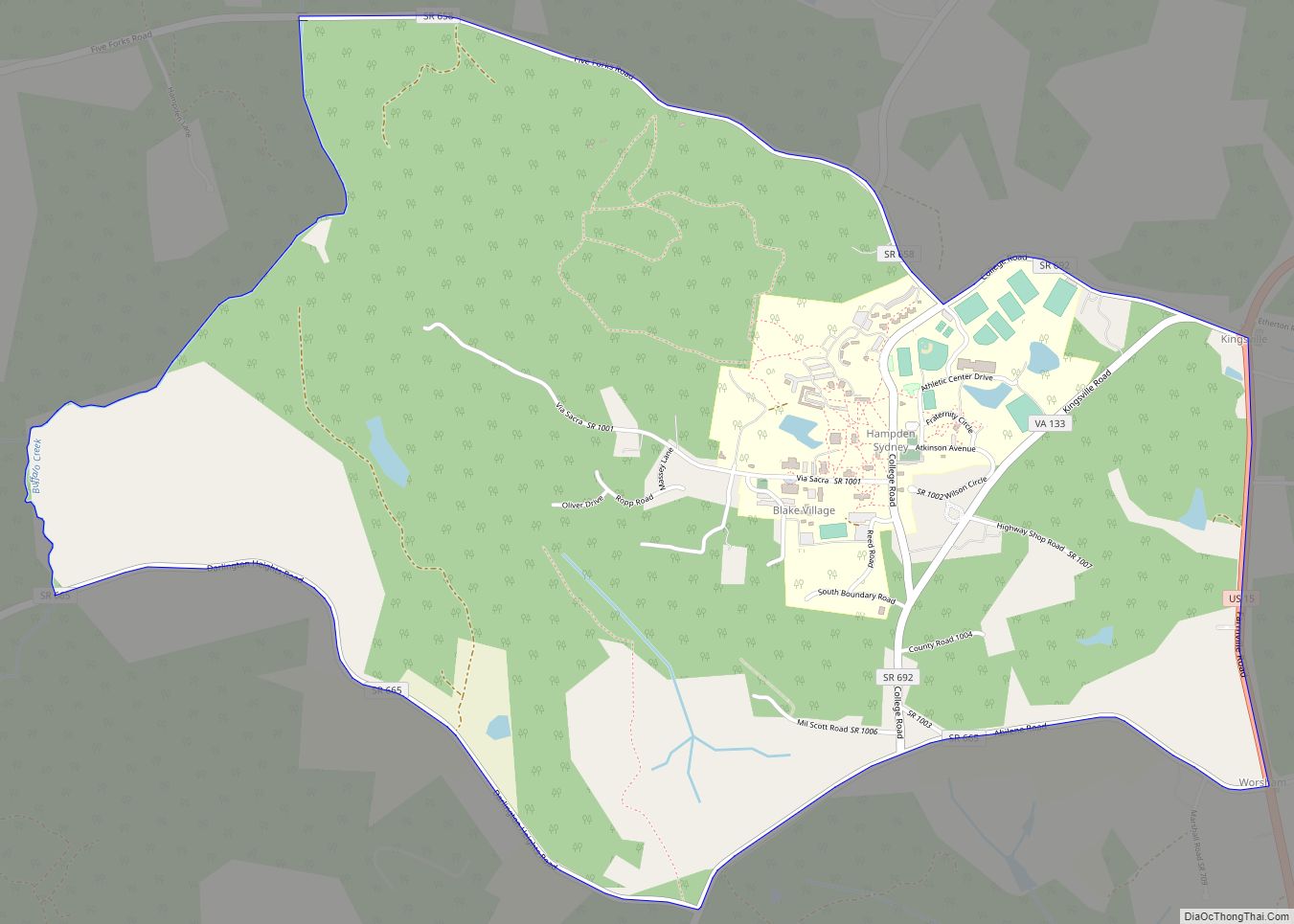
Hampden-Sydney Road Map

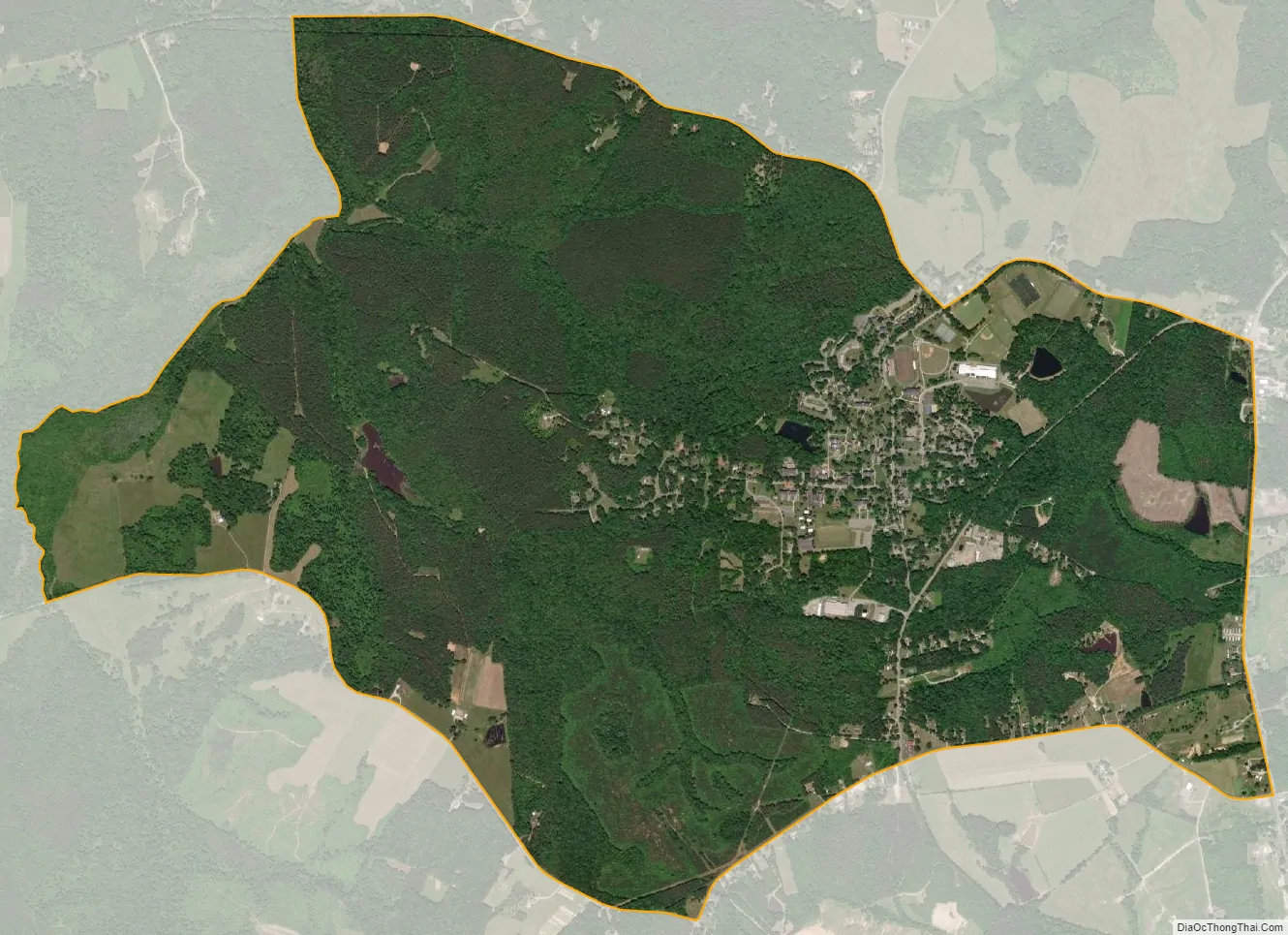
Hampden-Sydney city Satellite Map
Geography
Hampden Sydney is located at 37°14′38.6″N 78°28′33.7″W / 37.244056°N 78.476028°W / 37.244056; -78.476028 (37.244067, −78.476032).
According to the United States Census Bureau, in 2000 the CDP had a total area of 4.4 square miles (11.6 km), all of it land. According to the United States Census Bureau in 2010, it had a total area of 3.895 square miles (10.087 km) with 3.878 square miles (10.044 km) of land and 0.017 square miles (0.043 km) of water.
See also
Map of Virginia State and its subdivision:- Accomack
- Albemarle
- Alexandria
- Alleghany
- Amelia
- Amherst
- Appomattox
- Arlington
- Augusta
- Bath
- Bedford
- Bedford City
- Bland
- Botetourt
- Bristol
- Brunswick
- Buchanan
- Buckingham
- Buena Vista
- Campbell
- Caroline
- Carroll
- Charles City
- Charlotte
- Charlottesville
- Chesapeake
- Chesterfield
- Clarke
- Clifton Forge City
- Colonial Heights
- Covington
- Craig
- Culpeper
- Cumberland
- Danville
- Dickenson
- Dinwiddie
- Emporia
- Essex
- Fairfax
- Fairfax City
- Falls Church
- Fauquier
- Floyd
- Fluvanna
- Franklin
- Frederick
- Fredericksburg
- Galax
- Giles
- Gloucester
- Goochland
- Grayson
- Greene
- Greensville
- Halifax
- Hampton
- Hanover
- Harrisonburg
- Henrico
- Henry
- Highland
- Hopewell
- Isle of Wight
- James City
- King and Queen
- King George
- King William
- Lancaster
- Lee
- Lexington
- Loudoun
- Louisa
- Lunenburg
- Lynchburg
- Madison
- Manassas
- Manassas Park
- Martinsville
- Mathews
- Mecklenburg
- Middlesex
- Montgomery
- Nelson
- New Kent
- Newport News
- Norfolk
- Northampton
- Northumberland
- Norton
- Nottoway
- Orange
- Page
- Patrick
- Petersburg
- Pittsylvania
- Poquoson
- Portsmouth
- Powhatan
- Prince Edward
- Prince George
- Prince William
- Pulaski
- Radford
- Rappahannock
- Richmond
- Roanoke
- Roanoke City
- Rockbridge
- Rockingham
- Russell
- Salem
- Scott
- Shenandoah
- Smyth
- Southampton
- Spotsylvania
- Stafford
- Staunton
- Suffolk
- Surry
- Sussex
- Tazewell
- Virginia Beach
- Warren
- Washington
- Waynesboro
- Westmoreland
- Williamsburg
- Winchester
- Wise
- Wythe
- York
- Alabama
- Alaska
- Arizona
- Arkansas
- California
- Colorado
- Connecticut
- Delaware
- District of Columbia
- Florida
- Georgia
- Hawaii
- Idaho
- Illinois
- Indiana
- Iowa
- Kansas
- Kentucky
- Louisiana
- Maine
- Maryland
- Massachusetts
- Michigan
- Minnesota
- Mississippi
- Missouri
- Montana
- Nebraska
- Nevada
- New Hampshire
- New Jersey
- New Mexico
- New York
- North Carolina
- North Dakota
- Ohio
- Oklahoma
- Oregon
- Pennsylvania
- Rhode Island
- South Carolina
- South Dakota
- Tennessee
- Texas
- Utah
- Vermont
- Virginia
- Washington
- West Virginia
- Wisconsin
- Wyoming