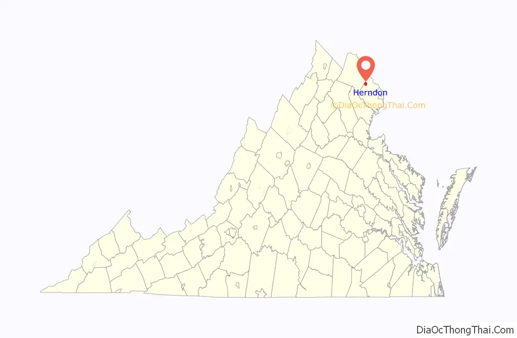
Herndon is a town in Fairfax County, Virginia, in the Washington, D.C. metropolitan area of the United States. In 2020, the population was estimated to be 24,532, which makes it the largest of three incorporated towns in the county.
The actual dimensions of the town of Herndon are fairly small. However, the United States Post Office treats nearby unincorporated communities in northwestern Fairfax County as part of a Greater Herndon region, including Dranesville, Floris, Franklin Farm, McNair, and Oak Hill.
| Name: | Herndon town |
|---|---|
| LSAD Code: | 43 |
| LSAD Description: | town (suffix) |
| State: | Virginia |
| County: | Fairfax County |
| Elevation: | 361 ft (110 m) |
| Total Area: | 4.29 sq mi (11.12 km²) |
| Land Area: | 4.29 sq mi (11.10 km²) |
| Water Area: | 0.01 sq mi (0.02 km²) |
| Total Population: | 23,292 |
| Population Density: | 5,738.51/sq mi (2,215.78/km²) |
| ZIP code: | 20170 |
| Area code: | 703, 571 |
| FIPS code: | 5136648 |
| GNISfeature ID: | 1495675 |
| Website: | http://www.herndon-va.gov |
Online Interactive Map
Click on ![]() to view map in "full screen" mode.
to view map in "full screen" mode.
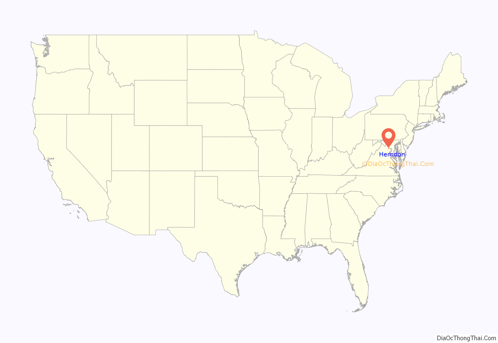
Herndon location map. Where is Herndon town?
History
The early settlement was named Herndon in 1858, after Commander William Lewis Herndon, an American naval explorer and author of Exploration of the Valley of the Amazon. Commander Herndon captained the ill-fated steamer SS Central America, going down with his ship while helping to save over 150 of its passengers and crew. In the 1870s, many Northern soldiers and their families came to settle in the area, taking advantage of moderate climate and low land prices.
Originally part of the rural surroundings of the Washington, D.C. area, the town of Herndon developed into a hub of dairy farming and vacationing for area residents, aided by its presence along the Alexandria, Loudoun and Hampshire Railroad (later to become the Washington and Old Dominion (W&OD) Railroad). When the railroad was converted into a hike-and-bike trail, Herndon capitalized on history and small-town feel (in a major metropolitan region) by converting its train station into a museum and visitors center and by relocating a Norfolk Southern Railway caboose to a nearby site and repainting it in W&OD livery.
The caboose was originally acquired in 1989 by Herndon Historical Society member, George Moore, to whose memory the caboose was dedicated after his death in 2003. Although the caboose itself never traveled through Herndon, it remains an iconic part of the downtown area that both locals and tourists visit daily. The caboose and station offer a glimpse of the original downtown’s historic charm, which residents are passionate about preserving.
On January 14, 2004, the Town of Herndon commemorated its 125th anniversary.
The town of Herndon was part of a nationally reported controversy involving illegal immigration beginning in 2005. The controversy revolved around a day labor center called the Herndon Official Worker Center (HOW Center), operated by Reston Interfaith’s Project Hope and Harmony under a grant from surrounding Fairfax County. The HOW Center was created on March 23, 2006 in response to daily gatherings of Hispanic workers at a local 7-Eleven store. The 2006 election for Mayor and Town Council revolved mainly around the issue, and resulted in unseating the pro-center Mayor and two councilmembers. The center closed after less than two years of operation, in September 2007.
The Herndon Historic District is listed on the National Register of Historic Places.
Herndon Road Map

Herndon city Satellite Map

Geography
Herndon is located at 38°58′17″N 77°23′19″W / 38.97139°N 77.38861°W / 38.97139; -77.38861 (38.971478, −77.388675).
According to the United States Census Bureau, the town has a total area of 4.2 square miles (10.9 km), all of it land. Just over two acres of land in the town are technically in Loudoun County.
See also
Map of Virginia State and its subdivision:- Accomack
- Albemarle
- Alexandria
- Alleghany
- Amelia
- Amherst
- Appomattox
- Arlington
- Augusta
- Bath
- Bedford
- Bedford City
- Bland
- Botetourt
- Bristol
- Brunswick
- Buchanan
- Buckingham
- Buena Vista
- Campbell
- Caroline
- Carroll
- Charles City
- Charlotte
- Charlottesville
- Chesapeake
- Chesterfield
- Clarke
- Clifton Forge City
- Colonial Heights
- Covington
- Craig
- Culpeper
- Cumberland
- Danville
- Dickenson
- Dinwiddie
- Emporia
- Essex
- Fairfax
- Fairfax City
- Falls Church
- Fauquier
- Floyd
- Fluvanna
- Franklin
- Frederick
- Fredericksburg
- Galax
- Giles
- Gloucester
- Goochland
- Grayson
- Greene
- Greensville
- Halifax
- Hampton
- Hanover
- Harrisonburg
- Henrico
- Henry
- Highland
- Hopewell
- Isle of Wight
- James City
- King and Queen
- King George
- King William
- Lancaster
- Lee
- Lexington
- Loudoun
- Louisa
- Lunenburg
- Lynchburg
- Madison
- Manassas
- Manassas Park
- Martinsville
- Mathews
- Mecklenburg
- Middlesex
- Montgomery
- Nelson
- New Kent
- Newport News
- Norfolk
- Northampton
- Northumberland
- Norton
- Nottoway
- Orange
- Page
- Patrick
- Petersburg
- Pittsylvania
- Poquoson
- Portsmouth
- Powhatan
- Prince Edward
- Prince George
- Prince William
- Pulaski
- Radford
- Rappahannock
- Richmond
- Roanoke
- Roanoke City
- Rockbridge
- Rockingham
- Russell
- Salem
- Scott
- Shenandoah
- Smyth
- Southampton
- Spotsylvania
- Stafford
- Staunton
- Suffolk
- Surry
- Sussex
- Tazewell
- Virginia Beach
- Warren
- Washington
- Waynesboro
- Westmoreland
- Williamsburg
- Winchester
- Wise
- Wythe
- York
- Alabama
- Alaska
- Arizona
- Arkansas
- California
- Colorado
- Connecticut
- Delaware
- District of Columbia
- Florida
- Georgia
- Hawaii
- Idaho
- Illinois
- Indiana
- Iowa
- Kansas
- Kentucky
- Louisiana
- Maine
- Maryland
- Massachusetts
- Michigan
- Minnesota
- Mississippi
- Missouri
- Montana
- Nebraska
- Nevada
- New Hampshire
- New Jersey
- New Mexico
- New York
- North Carolina
- North Dakota
- Ohio
- Oklahoma
- Oregon
- Pennsylvania
- Rhode Island
- South Carolina
- South Dakota
- Tennessee
- Texas
- Utah
- Vermont
- Virginia
- Washington
- West Virginia
- Wisconsin
- Wyoming


