Lincolnia is a census-designated place (CDP) in Fairfax County, Virginia, United States. The population was 22,828 at the 2010 census, an increase of over 44% from 2000.
| Name: | Lincolnia CDP |
|---|---|
| LSAD Code: | 57 |
| LSAD Description: | CDP (suffix) |
| State: | Virginia |
| County: | Fairfax County |
| Elevation: | 246 ft (75 m) |
| Total Area: | 4.75 sq mi (12.30 km²) |
| Land Area: | 4.72 sq mi (12.22 km²) |
| Water Area: | 0.03 sq mi (0.08 km²) |
| Total Population: | 22,828 |
| Population Density: | 4,838/sq mi (1,868.0/km²) |
| FIPS code: | 5145784 |
| GNISfeature ID: | 1493198 |
Online Interactive Map
Click on ![]() to view map in "full screen" mode.
to view map in "full screen" mode.
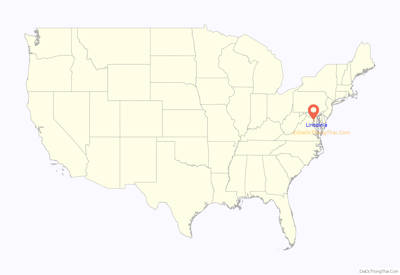
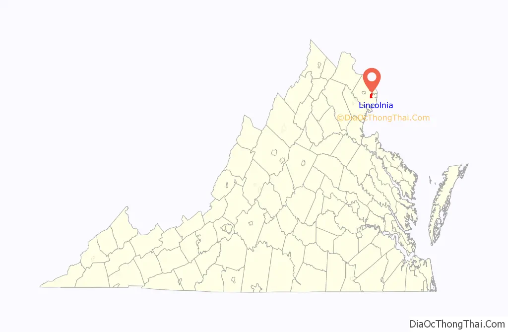
Lincolnia location map. Where is Lincolnia CDP?
History
Originally created following the Civil War as a community of freed slaves, Lincolnia remained as one of Fairfax County’s original communities of African Americans for over 100 years. During segregation, Lincolnia had its own schoolhouse. The historical structure is still standing, now incorporated into Lincolnia Senior Center. The school became integrated in 1962 as part of court-ordered busing. The African American students were bused out and white students were bused in.
Lincolnia Road Map

Lincolnia city Satellite Map

Geography
Lincolnia is located in eastern Fairfax County at 38°49′5″N 77°8′35″W / 38.81806°N 77.14306°W / 38.81806; -77.14306 (38.8184, -77.1433). It is bordered to the east by the city of Alexandria, to the south by Franconia, to the southwest by Springfield, to the west by Annandale, to the northwest by Lake Barcroft, and to the northeast by Bailey’s Crossroads. Interstate 395 passes through the southern part of the CDP, with access from Exit 2 (Edsall Road), and Virginia State Route 236 (Little River Turnpike) passes through the center of the CDP. I-395 leads northeast 10 miles (16 km) into the District of Columbia, while VA 236 leads east 6 miles (10 km) to Old Town Alexandria and west 8 miles (13 km) to Fairfax.
The CDP border follows Columbia Pike and Holmes Run to the north, its border with the city of Alexandria to the east, Interstate 395, Interstate 495, and the VRE Fredericksburg Line to the south, and Edsall Road, Clifton Street, Braddock Road, and Little River Turnpike to the west.
According to the United States Census Bureau, the CDP has a total area of 4.7 square miles (12.3 km), of which 0.03 square miles (0.08 km), or 0.64%, is water.
See also
Map of Virginia State and its subdivision:- Accomack
- Albemarle
- Alexandria
- Alleghany
- Amelia
- Amherst
- Appomattox
- Arlington
- Augusta
- Bath
- Bedford
- Bedford City
- Bland
- Botetourt
- Bristol
- Brunswick
- Buchanan
- Buckingham
- Buena Vista
- Campbell
- Caroline
- Carroll
- Charles City
- Charlotte
- Charlottesville
- Chesapeake
- Chesterfield
- Clarke
- Clifton Forge City
- Colonial Heights
- Covington
- Craig
- Culpeper
- Cumberland
- Danville
- Dickenson
- Dinwiddie
- Emporia
- Essex
- Fairfax
- Fairfax City
- Falls Church
- Fauquier
- Floyd
- Fluvanna
- Franklin
- Frederick
- Fredericksburg
- Galax
- Giles
- Gloucester
- Goochland
- Grayson
- Greene
- Greensville
- Halifax
- Hampton
- Hanover
- Harrisonburg
- Henrico
- Henry
- Highland
- Hopewell
- Isle of Wight
- James City
- King and Queen
- King George
- King William
- Lancaster
- Lee
- Lexington
- Loudoun
- Louisa
- Lunenburg
- Lynchburg
- Madison
- Manassas
- Manassas Park
- Martinsville
- Mathews
- Mecklenburg
- Middlesex
- Montgomery
- Nelson
- New Kent
- Newport News
- Norfolk
- Northampton
- Northumberland
- Norton
- Nottoway
- Orange
- Page
- Patrick
- Petersburg
- Pittsylvania
- Poquoson
- Portsmouth
- Powhatan
- Prince Edward
- Prince George
- Prince William
- Pulaski
- Radford
- Rappahannock
- Richmond
- Roanoke
- Roanoke City
- Rockbridge
- Rockingham
- Russell
- Salem
- Scott
- Shenandoah
- Smyth
- Southampton
- Spotsylvania
- Stafford
- Staunton
- Suffolk
- Surry
- Sussex
- Tazewell
- Virginia Beach
- Warren
- Washington
- Waynesboro
- Westmoreland
- Williamsburg
- Winchester
- Wise
- Wythe
- York
- Alabama
- Alaska
- Arizona
- Arkansas
- California
- Colorado
- Connecticut
- Delaware
- District of Columbia
- Florida
- Georgia
- Hawaii
- Idaho
- Illinois
- Indiana
- Iowa
- Kansas
- Kentucky
- Louisiana
- Maine
- Maryland
- Massachusetts
- Michigan
- Minnesota
- Mississippi
- Missouri
- Montana
- Nebraska
- Nevada
- New Hampshire
- New Jersey
- New Mexico
- New York
- North Carolina
- North Dakota
- Ohio
- Oklahoma
- Oregon
- Pennsylvania
- Rhode Island
- South Carolina
- South Dakota
- Tennessee
- Texas
- Utah
- Vermont
- Virginia
- Washington
- West Virginia
- Wisconsin
- Wyoming


