Narrows, named for the narrowing of the New River that flows through the town, is a town in Giles County, Virginia, United States. The population was 2,029 at the 2010 census, a decline of 3.9% from the 2000 count of 2,111. It is part of the Blacksburg–Christiansburg Metropolitan Statistical Area.
| Name: | Narrows town |
|---|---|
| LSAD Code: | 43 |
| LSAD Description: | town (suffix) |
| State: | Virginia |
| County: | Giles County |
| Elevation: | 1,545 ft (471 m) |
| Total Area: | 1.34 sq mi (3.47 km²) |
| Land Area: | 1.27 sq mi (3.28 km²) |
| Water Area: | 0.07 sq mi (0.19 km²) 4.5% |
| Total Population: | 2,029 |
| Population Density: | 1,540.65/sq mi (595.04/km²) |
| ZIP code: | 24124 |
| Area code: | 540 |
| FIPS code: | 5154904 |
| GNISfeature ID: | 1497034 |
| Website: | http://www.townofnarrows.org/ |
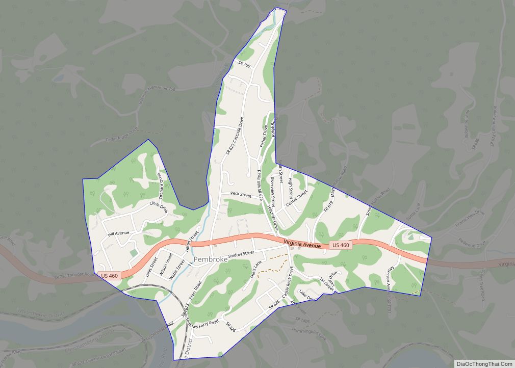
Online Interactive Map
Click on ![]() to view map in "full screen" mode.
to view map in "full screen" mode.
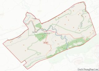
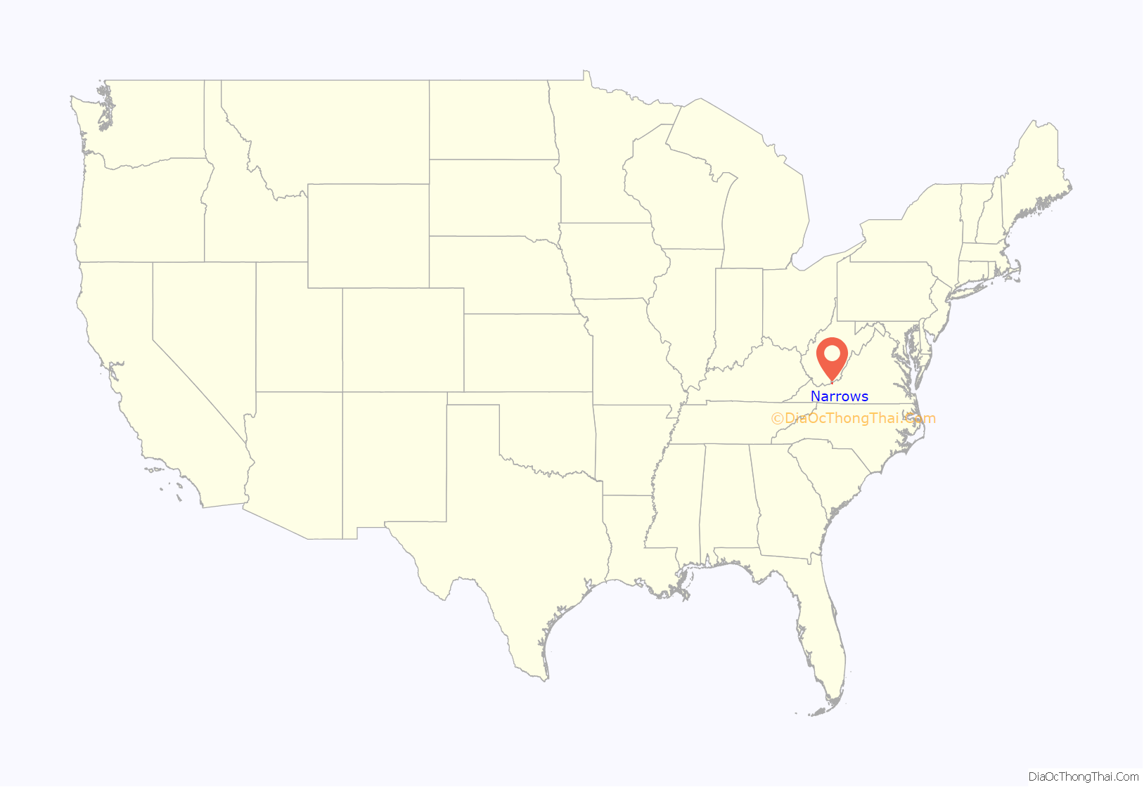
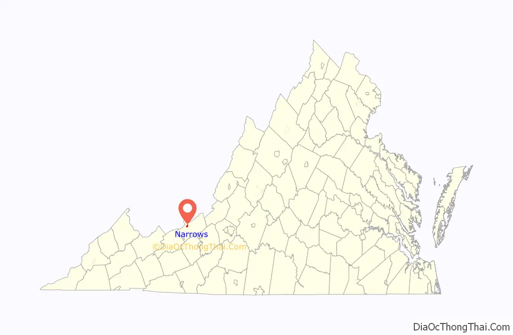
Narrows location map. Where is Narrows town?
History
Settled as early as 1778, a post office was opened in 1873 and the town was incorporated in 1904.
From 1946–1950, the New River Rebels were a minor league baseball team representing Narrows and Pearisburg, Virginia . The New River Rebels were a member of the Class D Appalachian League from 1946–1950. The Rebels captured Appalachian League Championships in 1946 and 1947. The New River Rebels were an affiliate of the Chicago White Sox in 1946 and played at Ragsdale Field.
The Narrows Commercial Historic District was added to the National Register of Historic Places in 2014.
On December 22, 1996, Airborne Express Flight 827 crashed in Narrows, killing all six people on board.
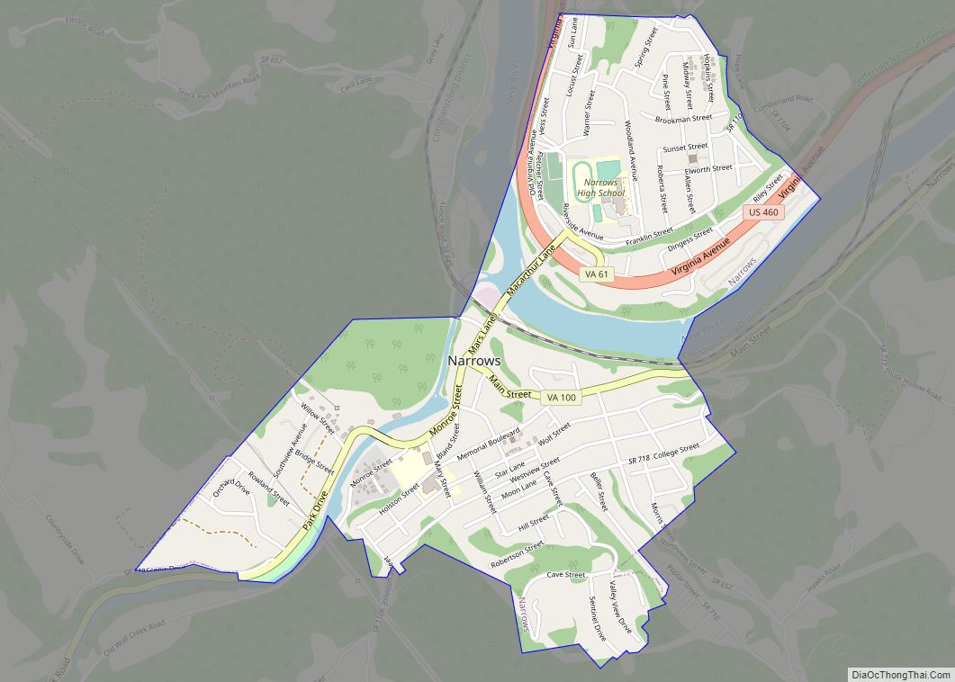
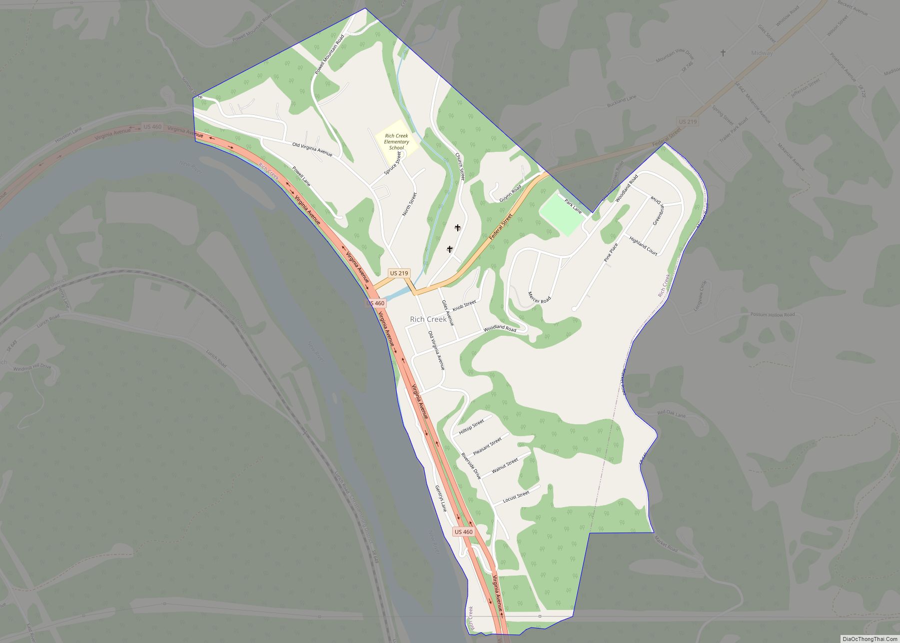
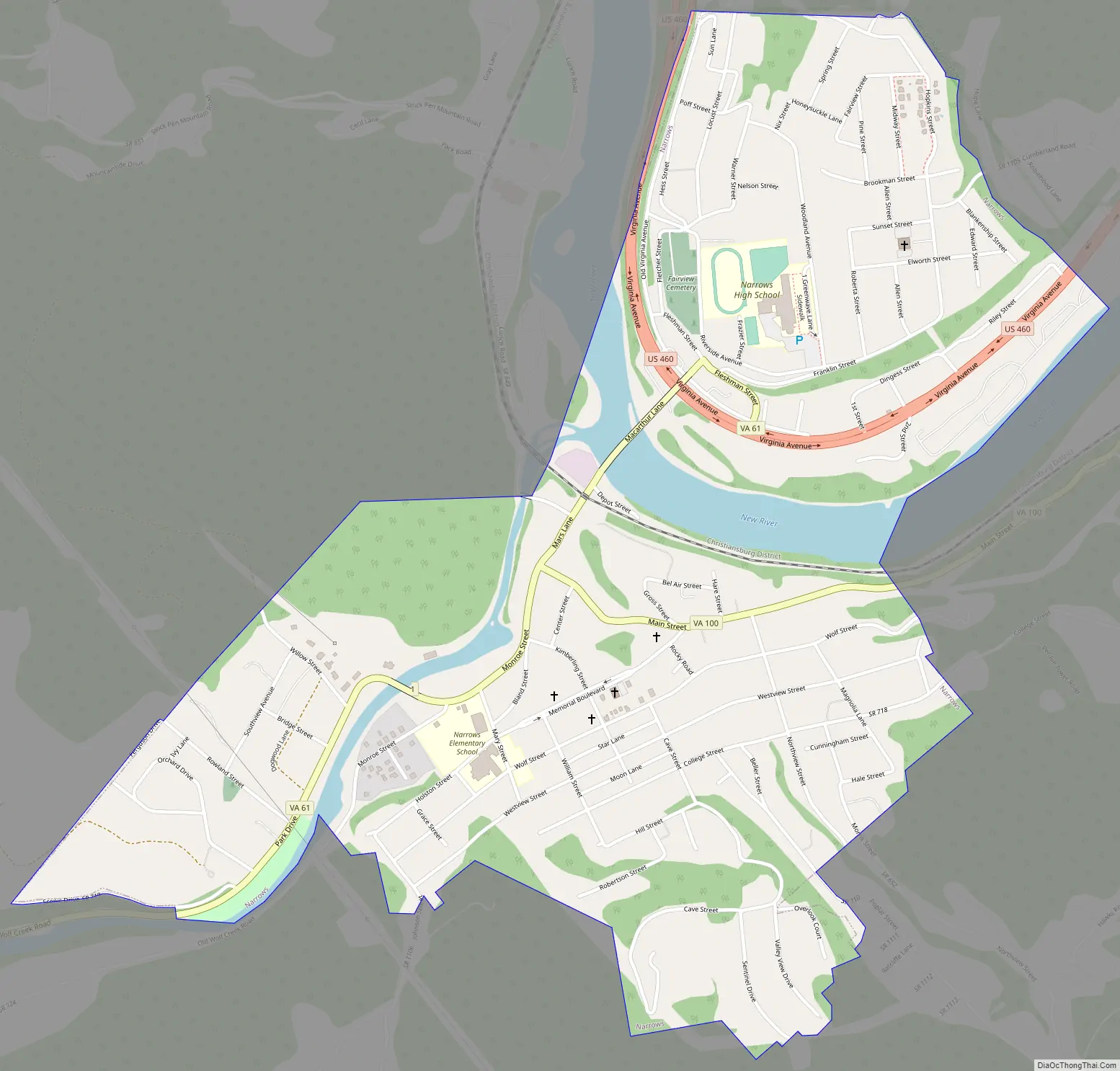
Narrows Road Map
Narrows city Satellite Map
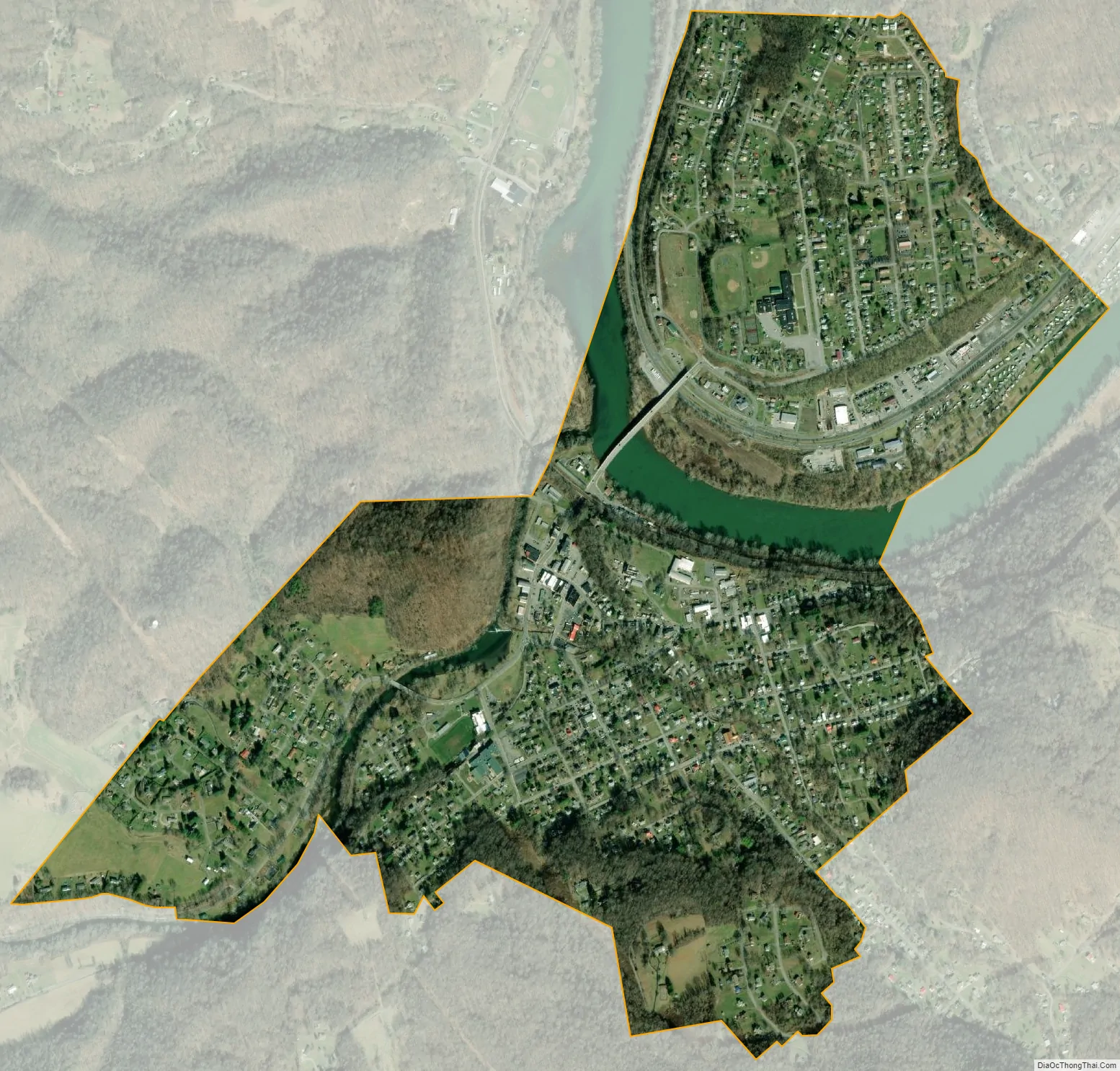
Geography
Narrows is located at 37°19′55″N 80°48′31″W / 37.33194°N 80.80861°W / 37.33194; -80.80861 (37.331818, −80.808477).
The town is just north of the Mill Creek (conservation area), an area in the Jefferson National Forest designated by the Wilderness Society as a “Mountain Treasure”.
According to the United States Census Bureau, the town has a total area of 1.3 square miles (3.5 km), of which 1.3 square miles (3.3 km) is land and 0.1 square mile (0.2 km) (4.48%) is water.
See also
Map of Virginia State and its subdivision:- Accomack
- Albemarle
- Alexandria
- Alleghany
- Amelia
- Amherst
- Appomattox
- Arlington
- Augusta
- Bath
- Bedford
- Bedford City
- Bland
- Botetourt
- Bristol
- Brunswick
- Buchanan
- Buckingham
- Buena Vista
- Campbell
- Caroline
- Carroll
- Charles City
- Charlotte
- Charlottesville
- Chesapeake
- Chesterfield
- Clarke
- Clifton Forge City
- Colonial Heights
- Covington
- Craig
- Culpeper
- Cumberland
- Danville
- Dickenson
- Dinwiddie
- Emporia
- Essex
- Fairfax
- Fairfax City
- Falls Church
- Fauquier
- Floyd
- Fluvanna
- Franklin
- Frederick
- Fredericksburg
- Galax
- Giles
- Gloucester
- Goochland
- Grayson
- Greene
- Greensville
- Halifax
- Hampton
- Hanover
- Harrisonburg
- Henrico
- Henry
- Highland
- Hopewell
- Isle of Wight
- James City
- King and Queen
- King George
- King William
- Lancaster
- Lee
- Lexington
- Loudoun
- Louisa
- Lunenburg
- Lynchburg
- Madison
- Manassas
- Manassas Park
- Martinsville
- Mathews
- Mecklenburg
- Middlesex
- Montgomery
- Nelson
- New Kent
- Newport News
- Norfolk
- Northampton
- Northumberland
- Norton
- Nottoway
- Orange
- Page
- Patrick
- Petersburg
- Pittsylvania
- Poquoson
- Portsmouth
- Powhatan
- Prince Edward
- Prince George
- Prince William
- Pulaski
- Radford
- Rappahannock
- Richmond
- Roanoke
- Roanoke City
- Rockbridge
- Rockingham
- Russell
- Salem
- Scott
- Shenandoah
- Smyth
- Southampton
- Spotsylvania
- Stafford
- Staunton
- Suffolk
- Surry
- Sussex
- Tazewell
- Virginia Beach
- Warren
- Washington
- Waynesboro
- Westmoreland
- Williamsburg
- Winchester
- Wise
- Wythe
- York
- Alabama
- Alaska
- Arizona
- Arkansas
- California
- Colorado
- Connecticut
- Delaware
- District of Columbia
- Florida
- Georgia
- Hawaii
- Idaho
- Illinois
- Indiana
- Iowa
- Kansas
- Kentucky
- Louisiana
- Maine
- Maryland
- Massachusetts
- Michigan
- Minnesota
- Mississippi
- Missouri
- Montana
- Nebraska
- Nevada
- New Hampshire
- New Jersey
- New Mexico
- New York
- North Carolina
- North Dakota
- Ohio
- Oklahoma
- Oregon
- Pennsylvania
- Rhode Island
- South Carolina
- South Dakota
- Tennessee
- Texas
- Utah
- Vermont
- Virginia
- Washington
- West Virginia
- Wisconsin
- Wyoming