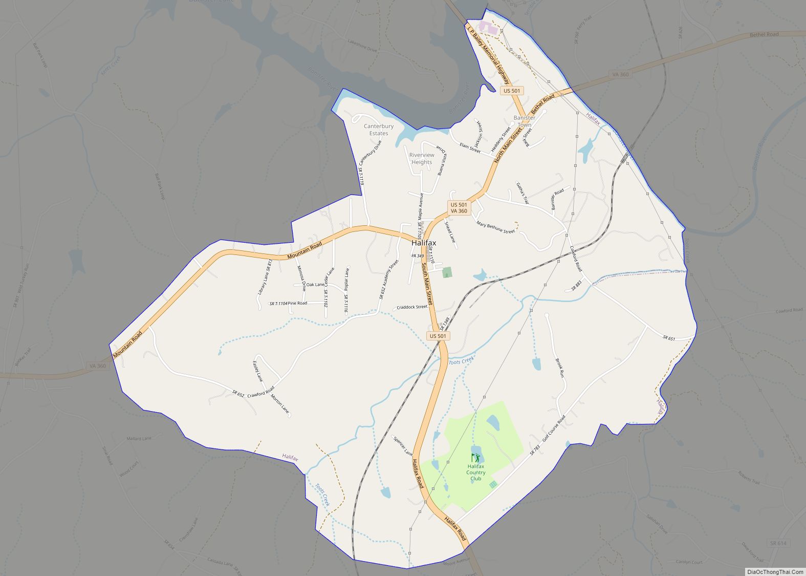
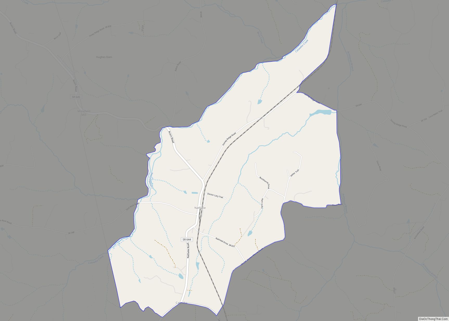
Nathalie is an unincorporated community and census-designated place (CDP) in Halifax County, Virginia, United States, in the south-central region of the state. The population as of the 2010 census was 183.
| Name: | Nathalie CDP |
|---|---|
| LSAD Code: | 57 |
| LSAD Description: | CDP (suffix) |
| State: | Virginia |
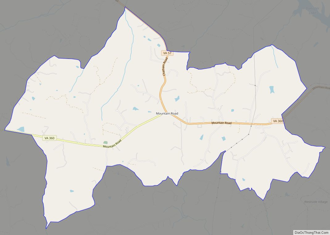
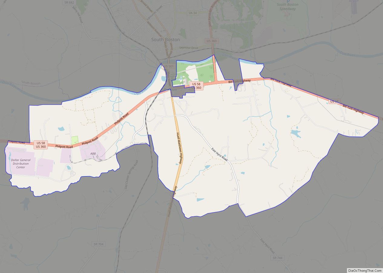
| County: | Halifax County |
| Elevation: | 169 ft (554 m) |
| Total Area: | 3.00 sq mi (7.77 km²) |
| Land Area: | 2.98 sq mi (7.71 km²) |
| Water Area: | 0.02 sq mi (0.06 km²) |
| Total Population: | 183 |
| Population Density: | 61/sq mi (23.7/km²) |
| ZIP code: | 24577 |
| Area code: | 434 |
| FIPS code: | 5155000 |
| GNISfeature ID: | 1497035 |
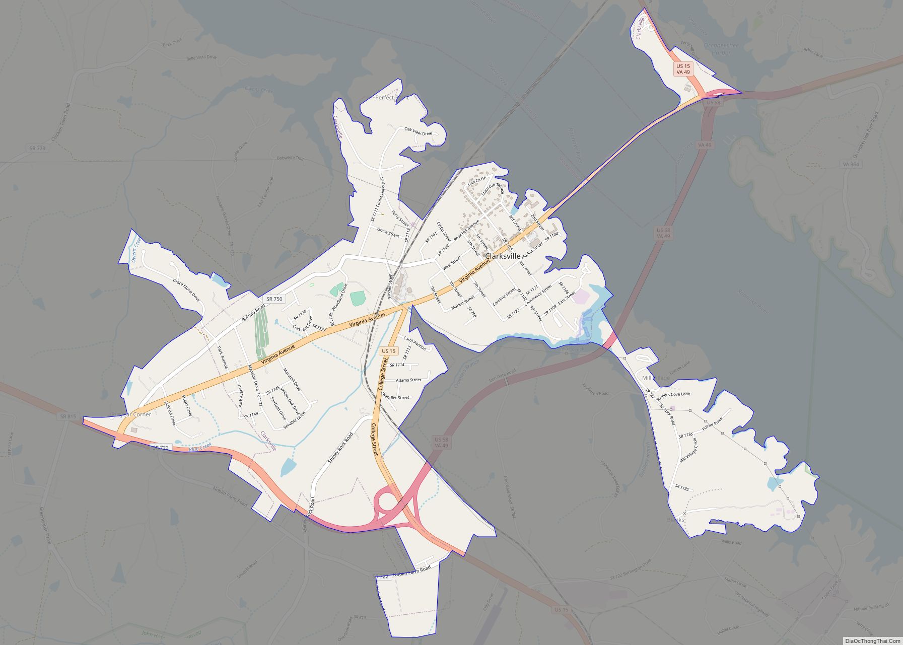
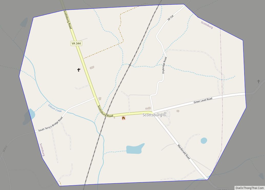
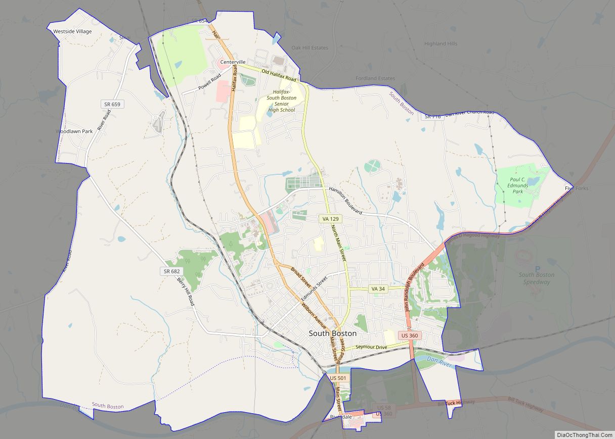
Online Interactive Map
Click on ![]() to view map in "full screen" mode.
to view map in "full screen" mode.
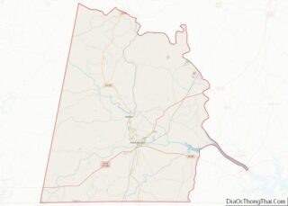
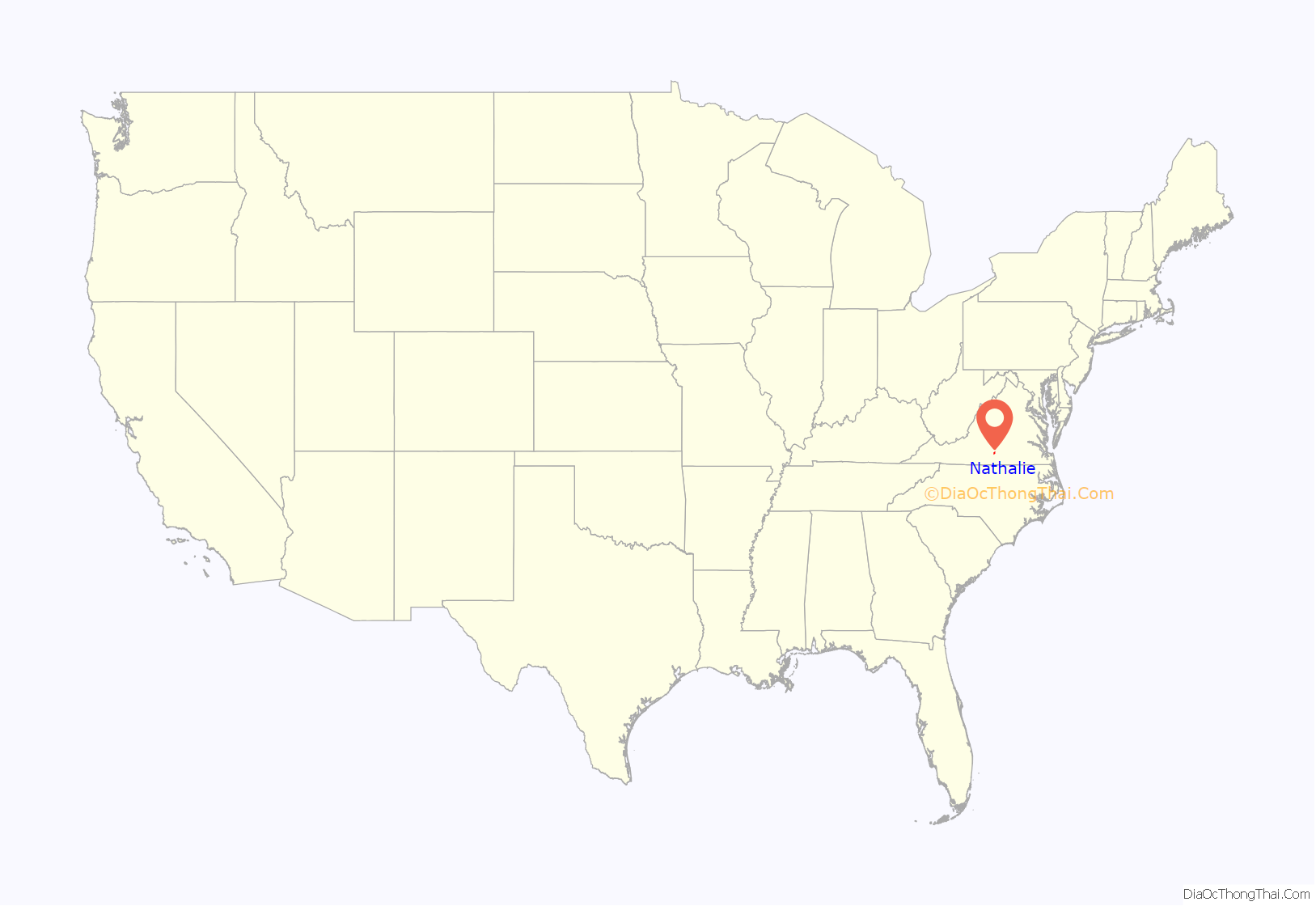
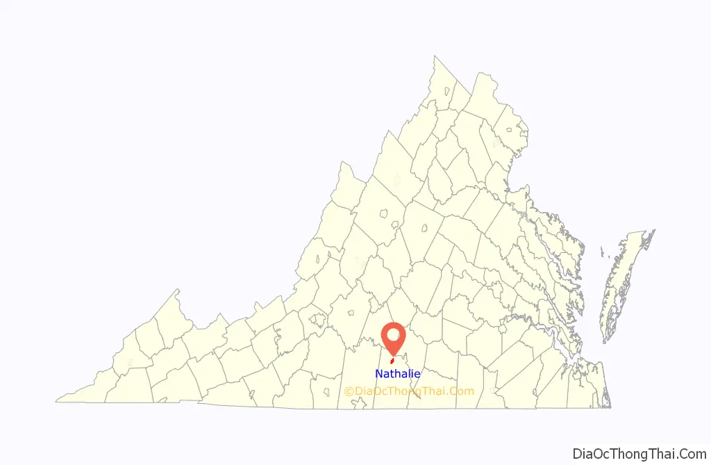
Nathalie location map. Where is Nathalie CDP?
History
It received its name in 1890 or 1891, being named after Natalie Otey (not “Nathalie”), daughter of Mrs. Rebecca Wimbish, an important local landowner. Prior to that time, the village at this location was considered to be a part of the Nathaniel Barksdale plantation. It had included a church since 1773 (the first Catawba Baptist Church) and a post office since 1828. This post office continues to operate today with the ZIP code of 24577.
The former Clarkton Bridge over the Roanoke or “Staunton” River 4 miles (6 km) northeast of town was listed on the National Register of Historic Places in 2006.
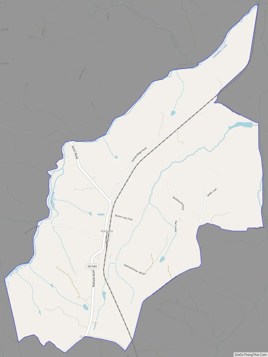
Nathalie Road Map
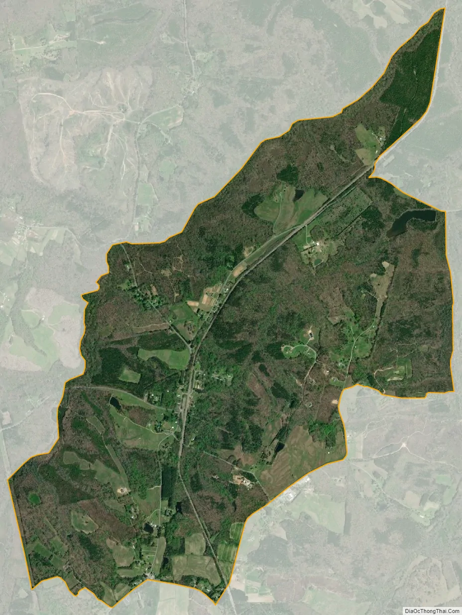
Nathalie city Satellite Map
Geography
Located in northern Halifax County at 36°56′6″N 78°56′50″W / 36.93500°N 78.94722°W / 36.93500; -78.94722 (36.9348619, −78.9472347), at an altitude of 524 feet (160 m), it lies along Road 603 15 miles (24 km) north of the town of Halifax, the county seat of Halifax County. According to the U.S. Census Bureau, the CDP has a total area of 3.0 square miles (7.8 km), of which 0.02 square miles (0.06 km), or 0.76%, are water. The community is drained by tributaries of Catawba Creek, which flows northeast to the Roanoke River at Clarkton.
See also
Map of Virginia State and its subdivision:- Accomack
- Albemarle
- Alexandria
- Alleghany
- Amelia
- Amherst
- Appomattox
- Arlington
- Augusta
- Bath
- Bedford
- Bedford City
- Bland
- Botetourt
- Bristol
- Brunswick
- Buchanan
- Buckingham
- Buena Vista
- Campbell
- Caroline
- Carroll
- Charles City
- Charlotte
- Charlottesville
- Chesapeake
- Chesterfield
- Clarke
- Clifton Forge City
- Colonial Heights
- Covington
- Craig
- Culpeper
- Cumberland
- Danville
- Dickenson
- Dinwiddie
- Emporia
- Essex
- Fairfax
- Fairfax City
- Falls Church
- Fauquier
- Floyd
- Fluvanna
- Franklin
- Frederick
- Fredericksburg
- Galax
- Giles
- Gloucester
- Goochland
- Grayson
- Greene
- Greensville
- Halifax
- Hampton
- Hanover
- Harrisonburg
- Henrico
- Henry
- Highland
- Hopewell
- Isle of Wight
- James City
- King and Queen
- King George
- King William
- Lancaster
- Lee
- Lexington
- Loudoun
- Louisa
- Lunenburg
- Lynchburg
- Madison
- Manassas
- Manassas Park
- Martinsville
- Mathews
- Mecklenburg
- Middlesex
- Montgomery
- Nelson
- New Kent
- Newport News
- Norfolk
- Northampton
- Northumberland
- Norton
- Nottoway
- Orange
- Page
- Patrick
- Petersburg
- Pittsylvania
- Poquoson
- Portsmouth
- Powhatan
- Prince Edward
- Prince George
- Prince William
- Pulaski
- Radford
- Rappahannock
- Richmond
- Roanoke
- Roanoke City
- Rockbridge
- Rockingham
- Russell
- Salem
- Scott
- Shenandoah
- Smyth
- Southampton
- Spotsylvania
- Stafford
- Staunton
- Suffolk
- Surry
- Sussex
- Tazewell
- Virginia Beach
- Warren
- Washington
- Waynesboro
- Westmoreland
- Williamsburg
- Winchester
- Wise
- Wythe
- York
- Alabama
- Alaska
- Arizona
- Arkansas
- California
- Colorado
- Connecticut
- Delaware
- District of Columbia
- Florida
- Georgia
- Hawaii
- Idaho
- Illinois
- Indiana
- Iowa
- Kansas
- Kentucky
- Louisiana
- Maine
- Maryland
- Massachusetts
- Michigan
- Minnesota
- Mississippi
- Missouri
- Montana
- Nebraska
- Nevada
- New Hampshire
- New Jersey
- New Mexico
- New York
- North Carolina
- North Dakota
- Ohio
- Oklahoma
- Oregon
- Pennsylvania
- Rhode Island
- South Carolina
- South Dakota
- Tennessee
- Texas
- Utah
- Vermont
- Virginia
- Washington
- West Virginia
- Wisconsin
- Wyoming