Painter is a town in Accomack County, Virginia, United States. The population was recorded at 229 at the 2010 census.
| Name: | Painter town |
|---|---|
| LSAD Code: | 43 |
| LSAD Description: | town (suffix) |
| State: | Virginia |
| County: | Accomack County |
| Elevation: | 36 ft (11 m) |
| Total Area: | 0.65 sq mi (1.69 km²) |
| Land Area: | 0.65 sq mi (1.69 km²) |
| Water Area: | 0.00 sq mi (0.00 km²) |
| Total Population: | 229 |
| Population Density: | 344.09/sq mi (132.90/km²) |
| ZIP code: | 23420 |
| Area code: | 757, 948 (planned) |
| FIPS code: | 5160296 |
| GNISfeature ID: | 1472020 |
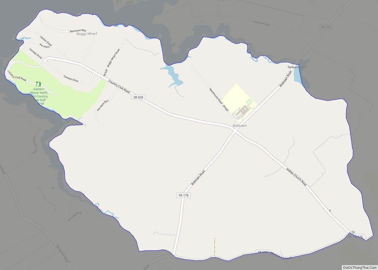
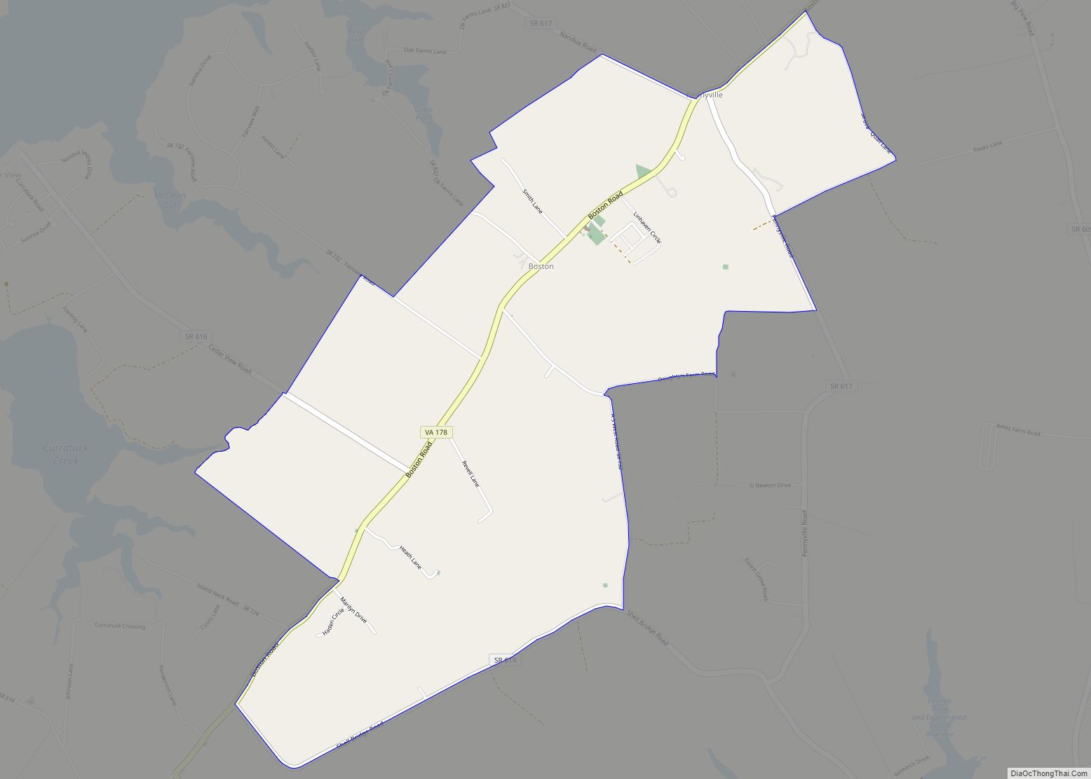
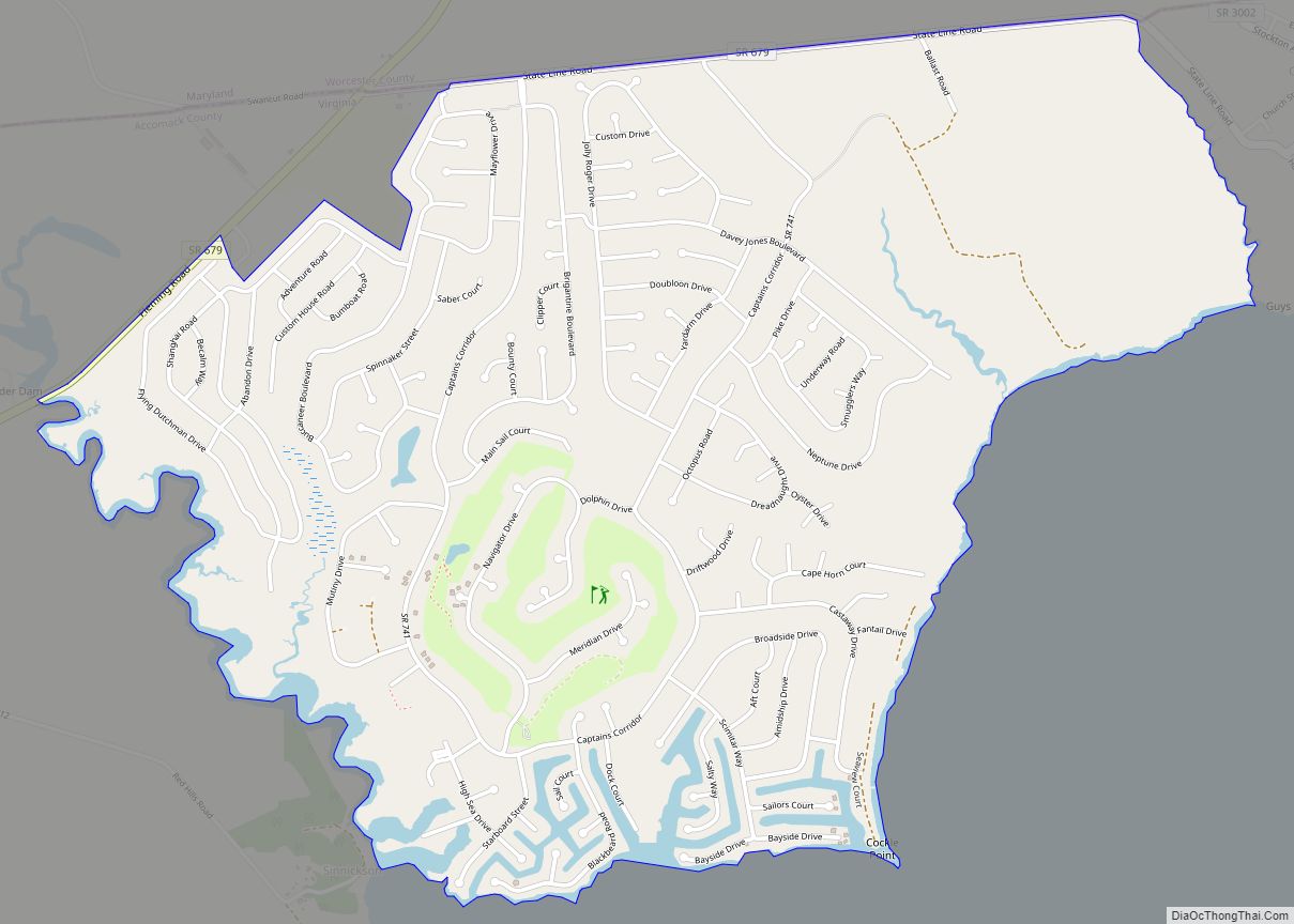
Online Interactive Map
Click on ![]() to view map in "full screen" mode.
to view map in "full screen" mode.
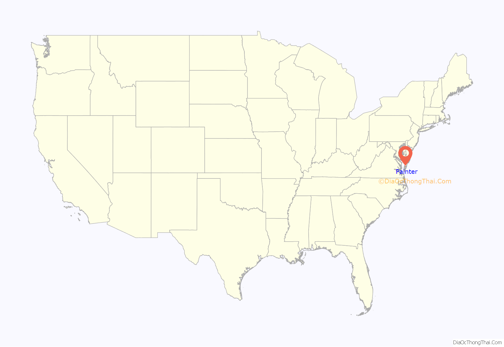
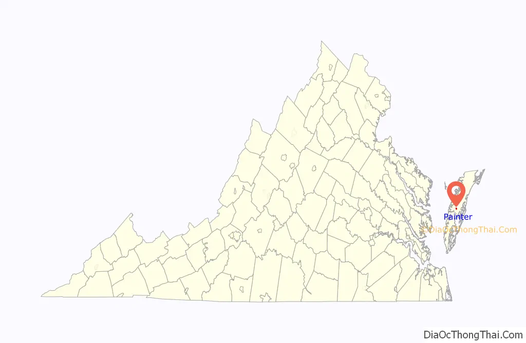
Painter location map. Where is Painter town?
History
From its earliest settlement, most villages and towns on the Eastern Shore of Virginia were located near the coasts at navigable ports where crops or livestock could be transported by boat. The coming of the New York, Pennsylvania, and Norfolk Railroad in the 1880s initiated a shift in population and commerce to the center of the shore and created the need for new towns, including the town of Painter.
The Painter-Garrisons United Methodist Church was established in nearby Mappsburg, Virginia in 1784 when Bishop Francis Asbury made his first of six visits to the home of Jonathan Garrison. The congregation constructed a chapel by 1787, the first house of worship to be built by the Methodist Episcopal Church on the Eastern Shore. The present church was erected in 1855 and was the scene of the establishment of the Independent Convention of Accomack, a group of Methodist Churches that left the northern church in 1860 and, at the close of the war, joined the Methodist Episcopal Church, South. By the turn of the 20th century, as the population continued to shift from Mappsburg to Painter and other new towns, the church erected a second building in Painter in 1906. Twenty years later, the older church was moved to Painter and adjoined to the existing building at which time it took the name Painter-Garrisons Church. The 1855 building is today the second-oldest Methodist Church building on the Eastern Shore.
Willowdale and Central High School are listed on the National Register of Historic Places.
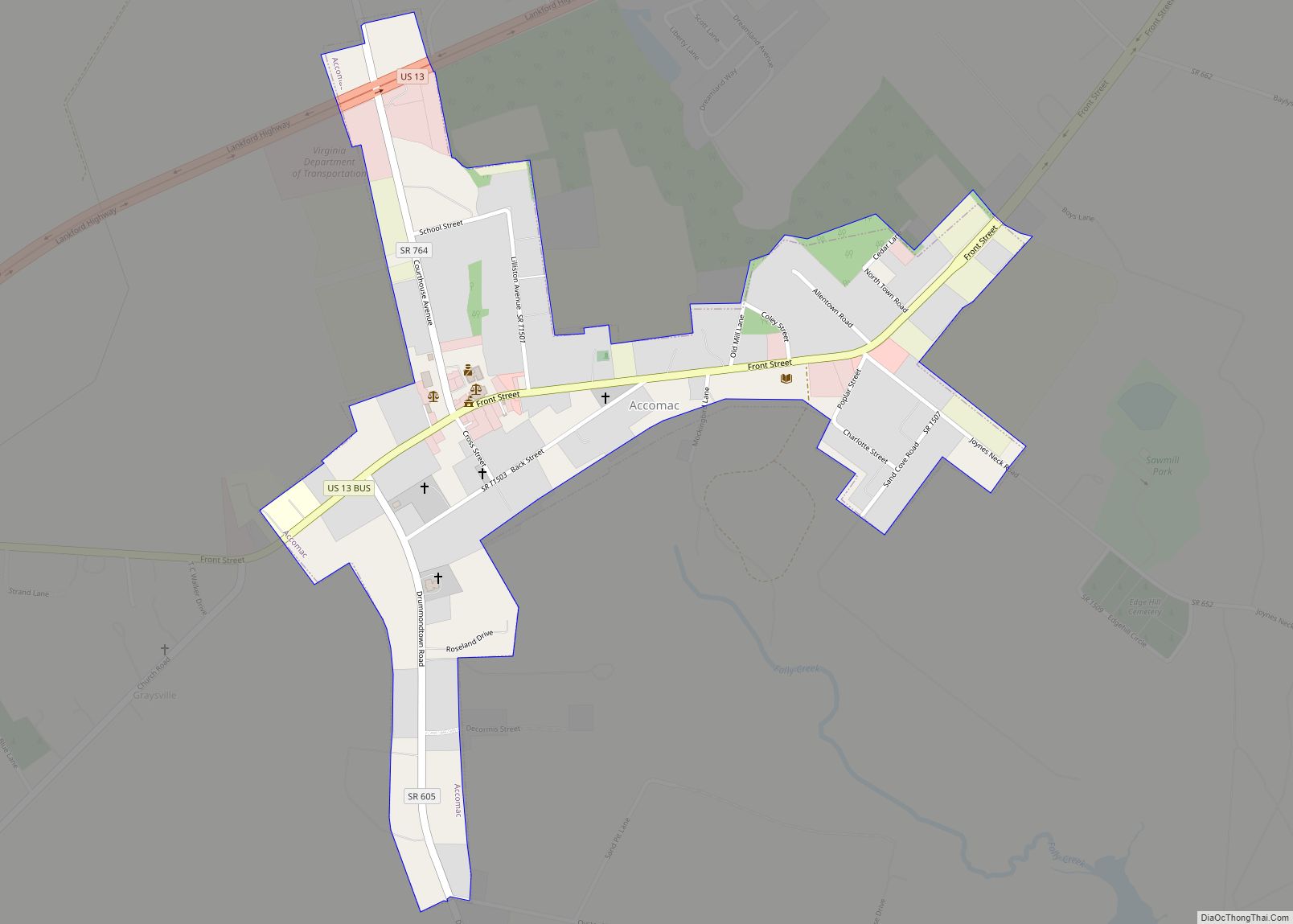
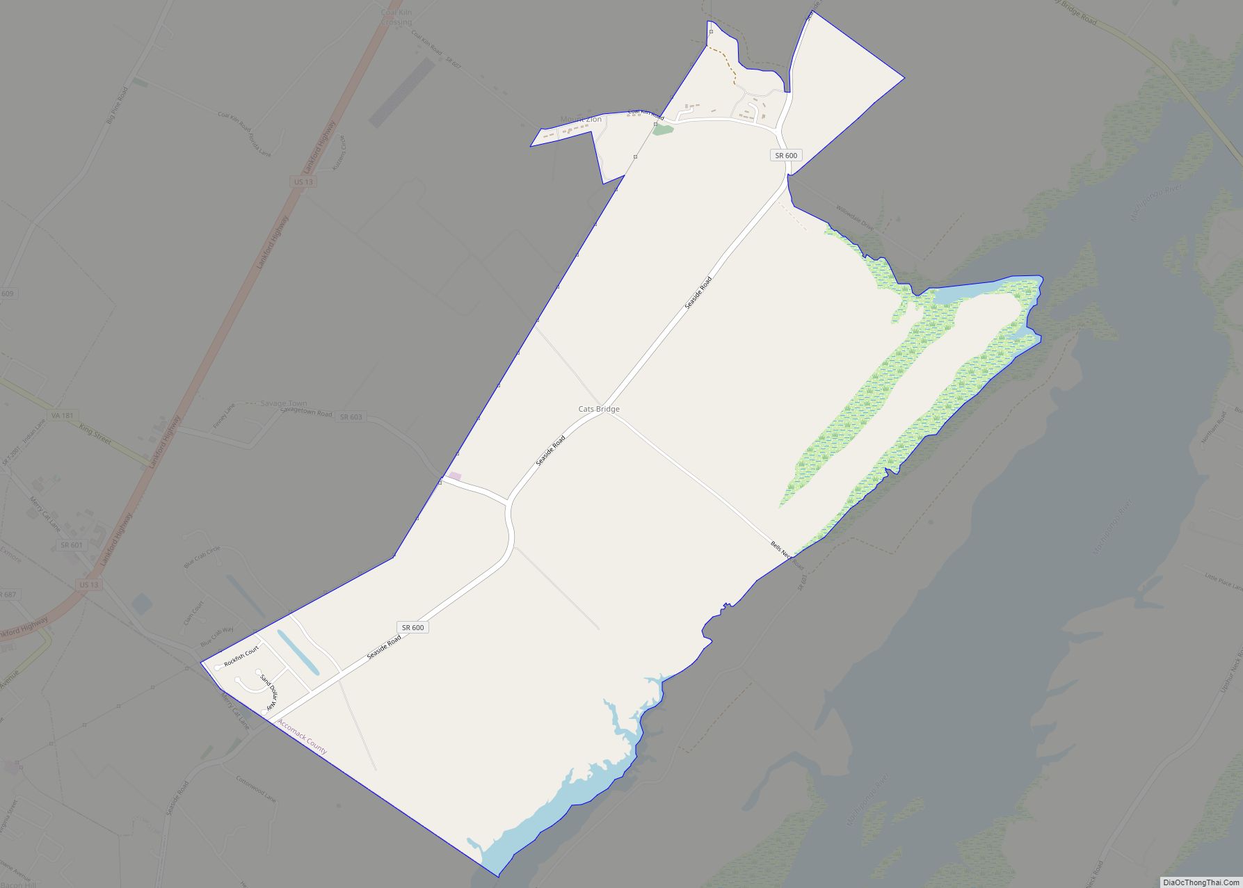
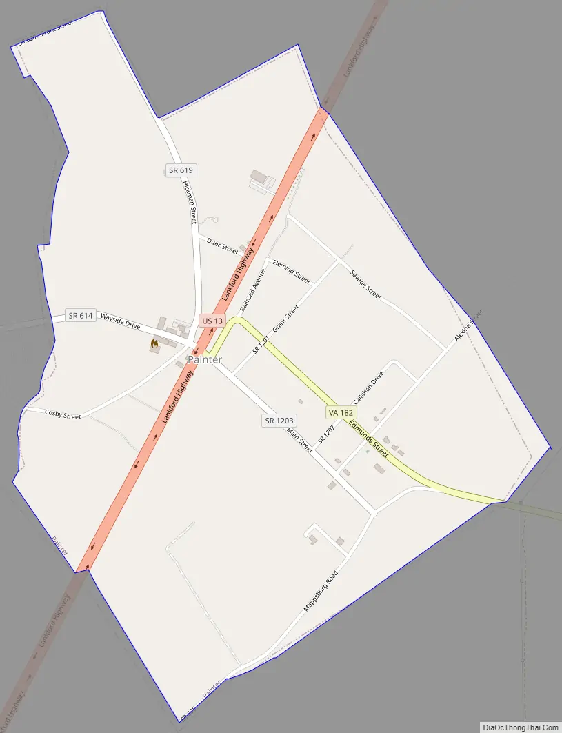
Painter Road Map
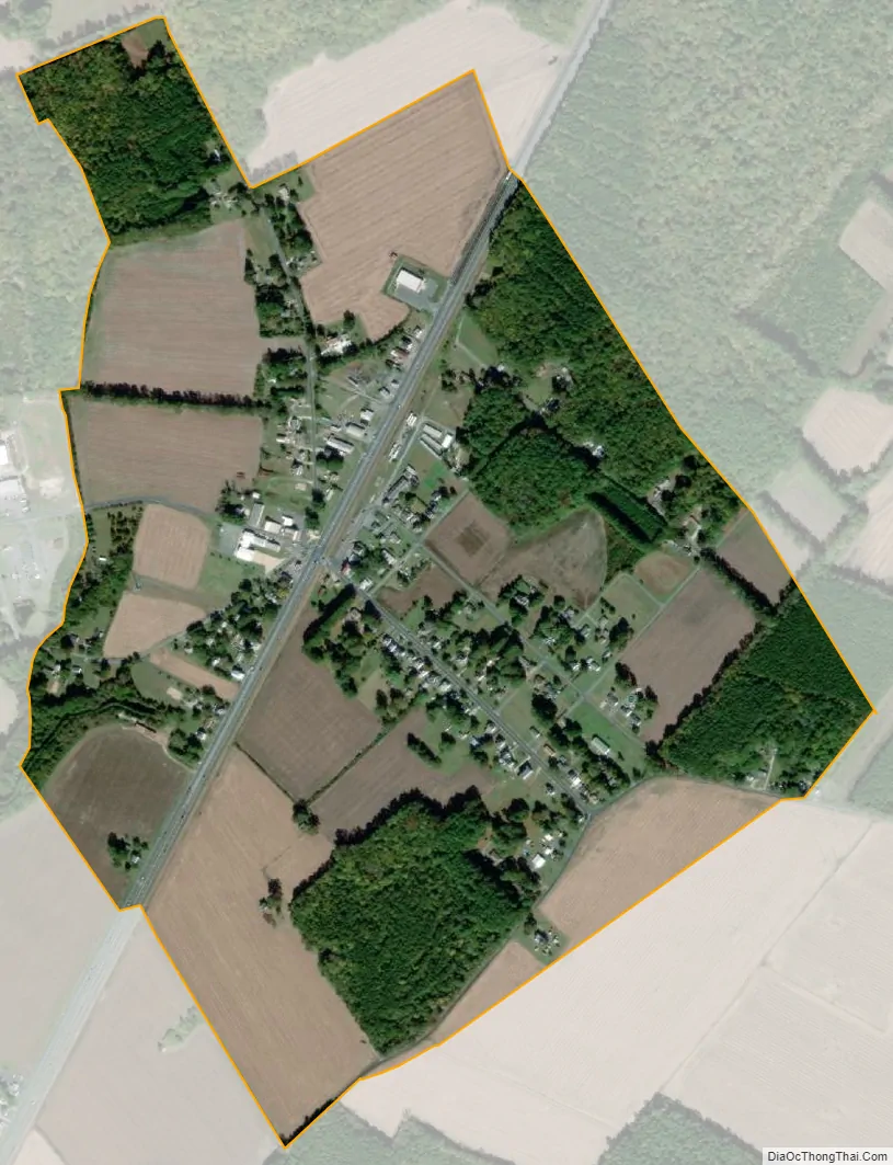
Painter city Satellite Map
Geography
Painter is located at 37°35′8″N 75°47′0″W / 37.58556°N 75.78333°W / 37.58556; -75.78333 (37.585632, −75.783445).
According to the United States Census Bureau, the town has a total area of 0.6 square miles (1.6 km), all of it land.
It lies at an elevation of 36 feet.
See also
Map of Virginia State and its subdivision:- Accomack
- Albemarle
- Alexandria
- Alleghany
- Amelia
- Amherst
- Appomattox
- Arlington
- Augusta
- Bath
- Bedford
- Bedford City
- Bland
- Botetourt
- Bristol
- Brunswick
- Buchanan
- Buckingham
- Buena Vista
- Campbell
- Caroline
- Carroll
- Charles City
- Charlotte
- Charlottesville
- Chesapeake
- Chesterfield
- Clarke
- Clifton Forge City
- Colonial Heights
- Covington
- Craig
- Culpeper
- Cumberland
- Danville
- Dickenson
- Dinwiddie
- Emporia
- Essex
- Fairfax
- Fairfax City
- Falls Church
- Fauquier
- Floyd
- Fluvanna
- Franklin
- Frederick
- Fredericksburg
- Galax
- Giles
- Gloucester
- Goochland
- Grayson
- Greene
- Greensville
- Halifax
- Hampton
- Hanover
- Harrisonburg
- Henrico
- Henry
- Highland
- Hopewell
- Isle of Wight
- James City
- King and Queen
- King George
- King William
- Lancaster
- Lee
- Lexington
- Loudoun
- Louisa
- Lunenburg
- Lynchburg
- Madison
- Manassas
- Manassas Park
- Martinsville
- Mathews
- Mecklenburg
- Middlesex
- Montgomery
- Nelson
- New Kent
- Newport News
- Norfolk
- Northampton
- Northumberland
- Norton
- Nottoway
- Orange
- Page
- Patrick
- Petersburg
- Pittsylvania
- Poquoson
- Portsmouth
- Powhatan
- Prince Edward
- Prince George
- Prince William
- Pulaski
- Radford
- Rappahannock
- Richmond
- Roanoke
- Roanoke City
- Rockbridge
- Rockingham
- Russell
- Salem
- Scott
- Shenandoah
- Smyth
- Southampton
- Spotsylvania
- Stafford
- Staunton
- Suffolk
- Surry
- Sussex
- Tazewell
- Virginia Beach
- Warren
- Washington
- Waynesboro
- Westmoreland
- Williamsburg
- Winchester
- Wise
- Wythe
- York
- Alabama
- Alaska
- Arizona
- Arkansas
- California
- Colorado
- Connecticut
- Delaware
- District of Columbia
- Florida
- Georgia
- Hawaii
- Idaho
- Illinois
- Indiana
- Iowa
- Kansas
- Kentucky
- Louisiana
- Maine
- Maryland
- Massachusetts
- Michigan
- Minnesota
- Mississippi
- Missouri
- Montana
- Nebraska
- Nevada
- New Hampshire
- New Jersey
- New Mexico
- New York
- North Carolina
- North Dakota
- Ohio
- Oklahoma
- Oregon
- Pennsylvania
- Rhode Island
- South Carolina
- South Dakota
- Tennessee
- Texas
- Utah
- Vermont
- Virginia
- Washington
- West Virginia
- Wisconsin
- Wyoming