Remington is a small incorporated town in Fauquier County, Virginia, United States. The population was 598 at the 2010 census. It is near the highways, U.S. Route 15, U.S. Route 17, U.S. Route 29, and Virginia State Route 28. Remington is less than a mile northeast of the Culpeper County line.
| Name: | Remington town |
|---|---|
| LSAD Code: | 43 |
| LSAD Description: | town (suffix) |
| State: | Virginia |
| County: | Fauquier County |
| Elevation: | 272 ft (83 m) |
| Total Area: | 0.22 sq mi (0.57 km²) |
| Land Area: | 0.22 sq mi (0.57 km²) |
| Water Area: | 0.00 sq mi (0.00 km²) |
| Total Population: | 598 |
| Population Density: | 3,004.57/sq mi (1,159.28/km²) |
| ZIP code: | 22734 |
| Area code: | 540 |
| FIPS code: | 5166512 |
| GNISfeature ID: | 1499948 |
| Website: | www.remington-va.gov |
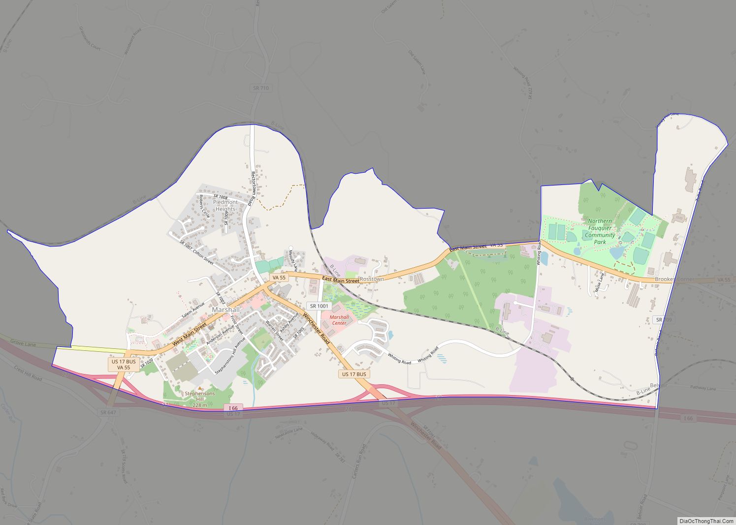
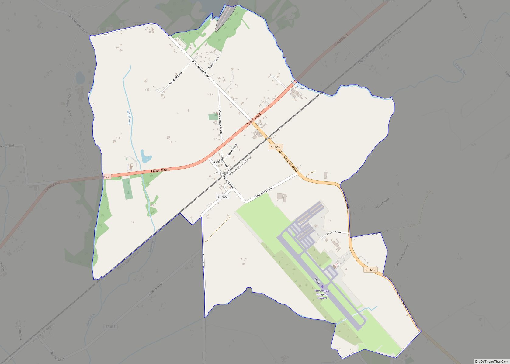
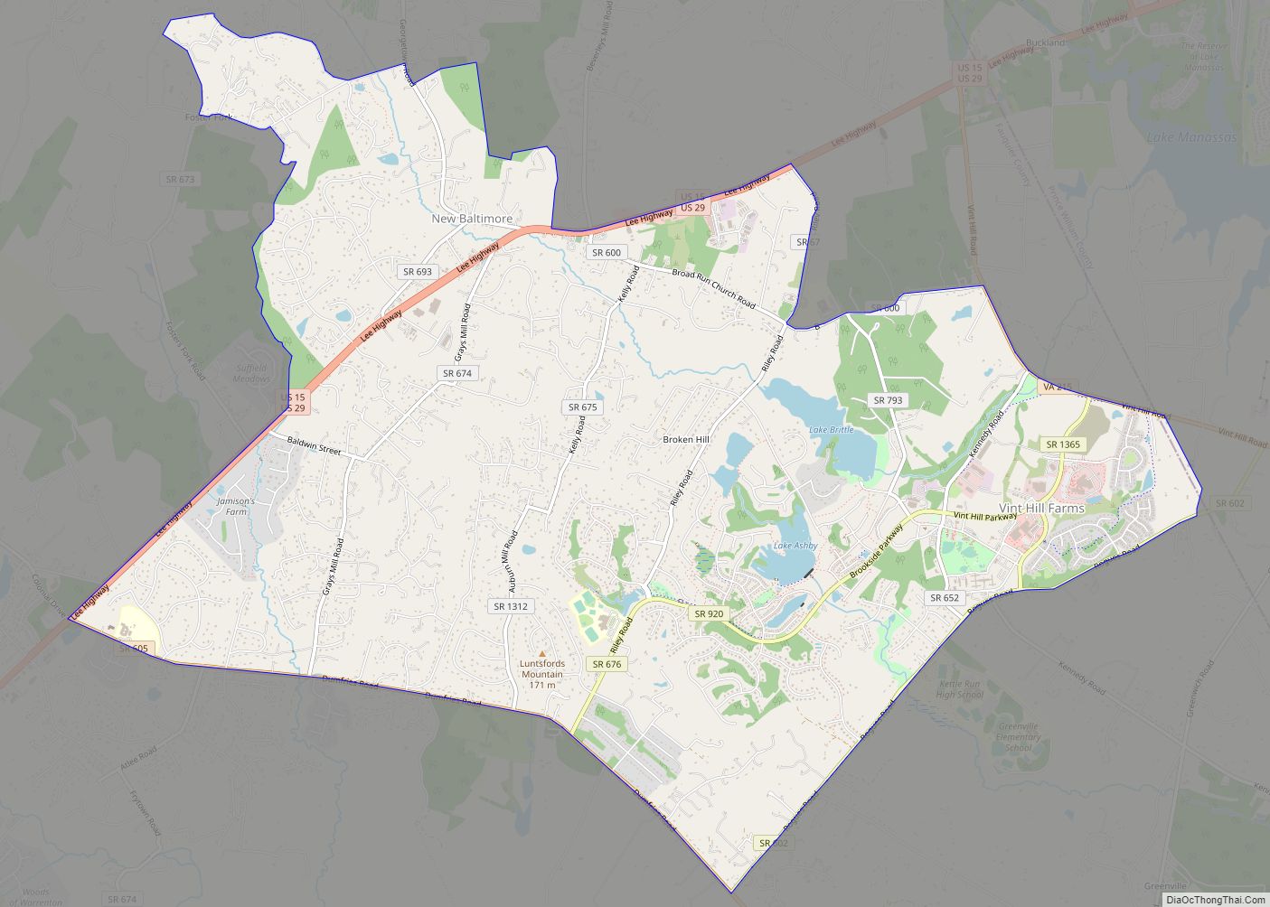
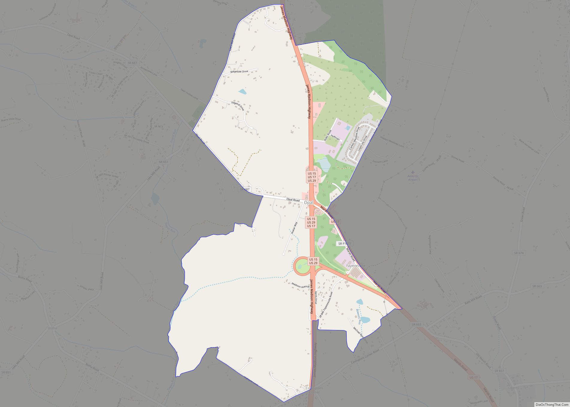
Online Interactive Map
Click on ![]() to view map in "full screen" mode.
to view map in "full screen" mode.
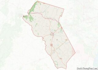
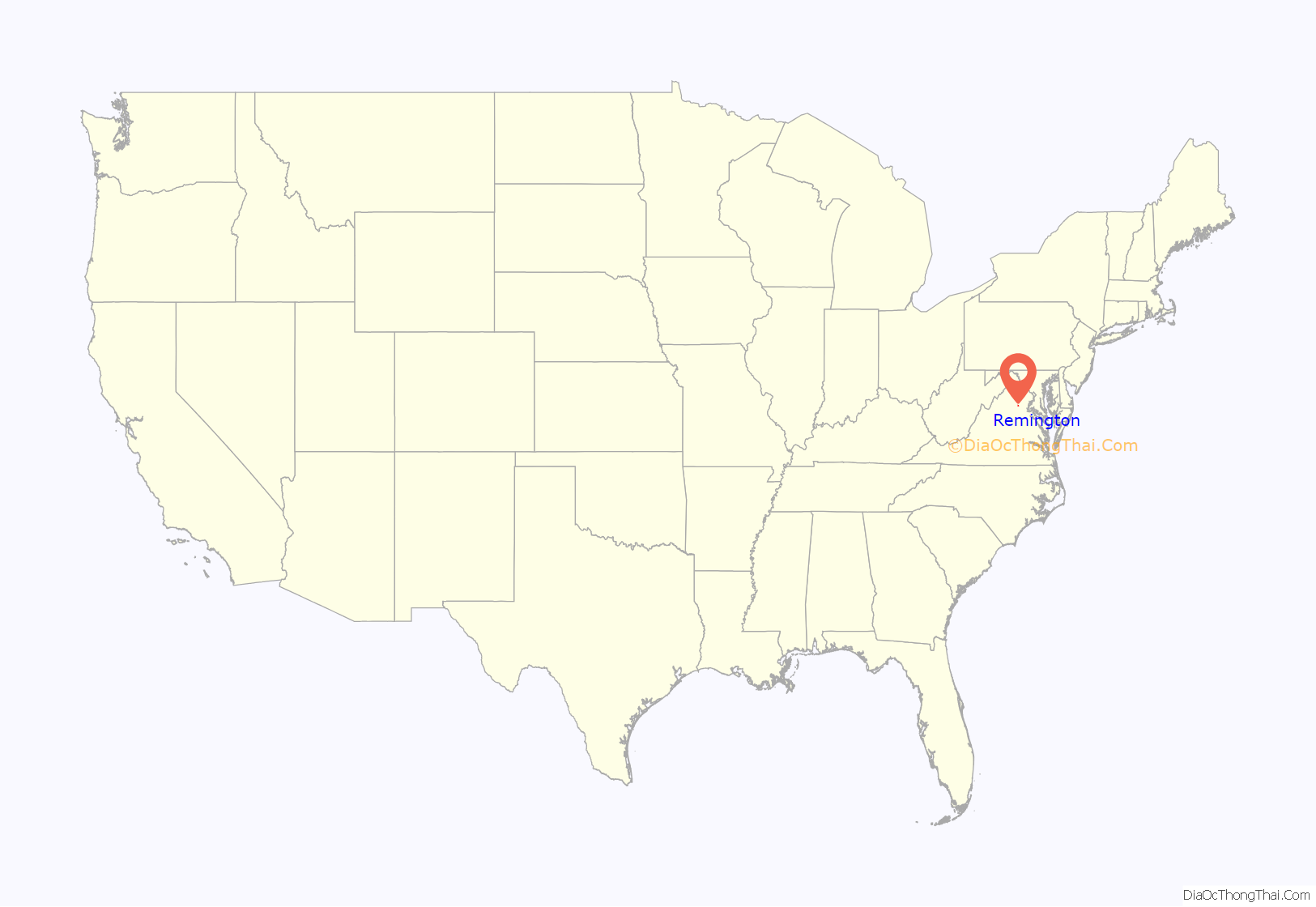
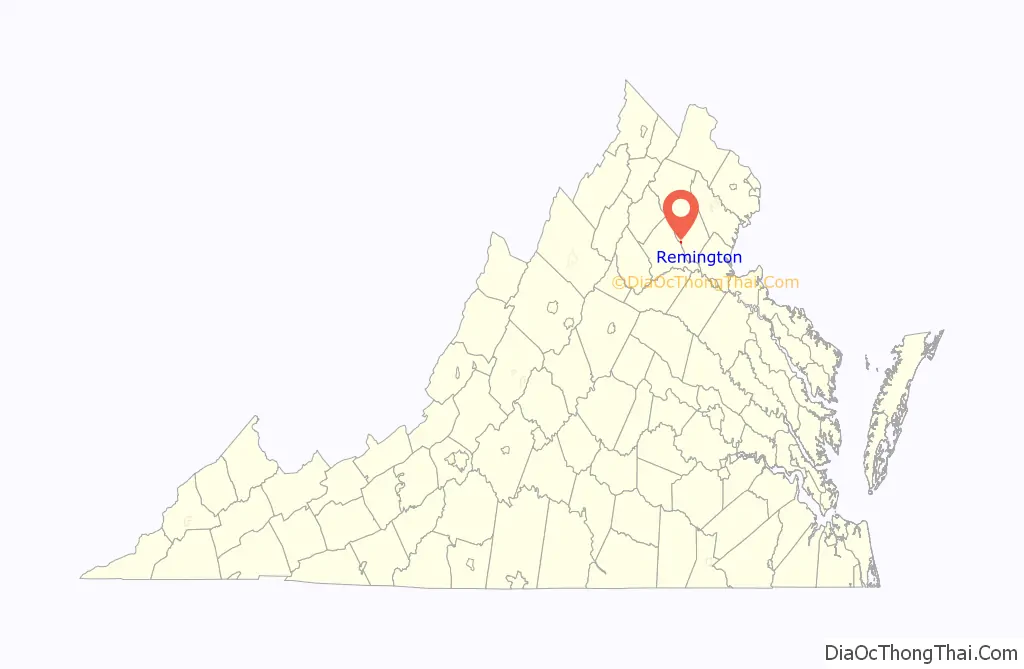
Remington location map. Where is Remington town?
History
The Remington Historic District was listed on the National Register of Historic Places in 2005.
The town developed as a transportation hub. It was a commercial port during the mid-nineteenth century on the Rappahannock Canal, but the canal failed financially and operations were abandoned. Later, the town was a stop on the Orange and Alexandria Railroad called Rappahannock Station, but the O&A was eventually absorbed into the Norfolk Southern system, and the Remington spur fell into disuse.
Remington was the site of the First Battle of Rappahannock Station and the Second Battle of Rappahannock Station during the American Civil War. The Battle of Brandy Station was fought just across the Rappahannock River. Colonel John S. Mosby made raids in the town during the war. Later, Mosby made his home and practiced law in nearby Warrenton, Virginia.
From 1985 to mid-2020, the town was among the last municipalities still using a Confederate battle flag in its official seal. A variation of the seal, Confederate flag included, appeared on their police uniform shoulder patches. The Remington town council voted to remove the Confederate flag from its seal on July 20, 2020.
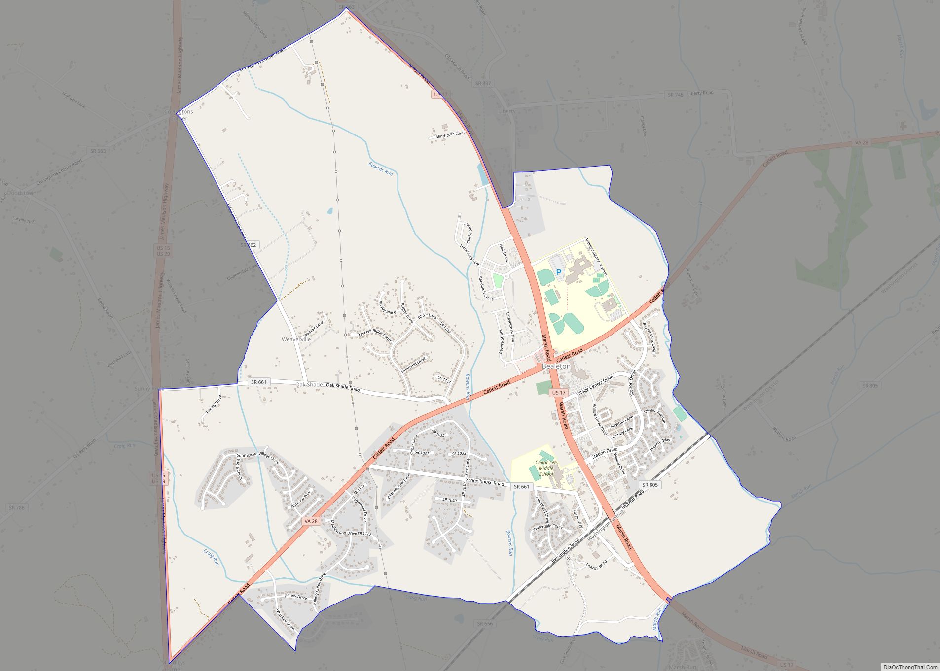
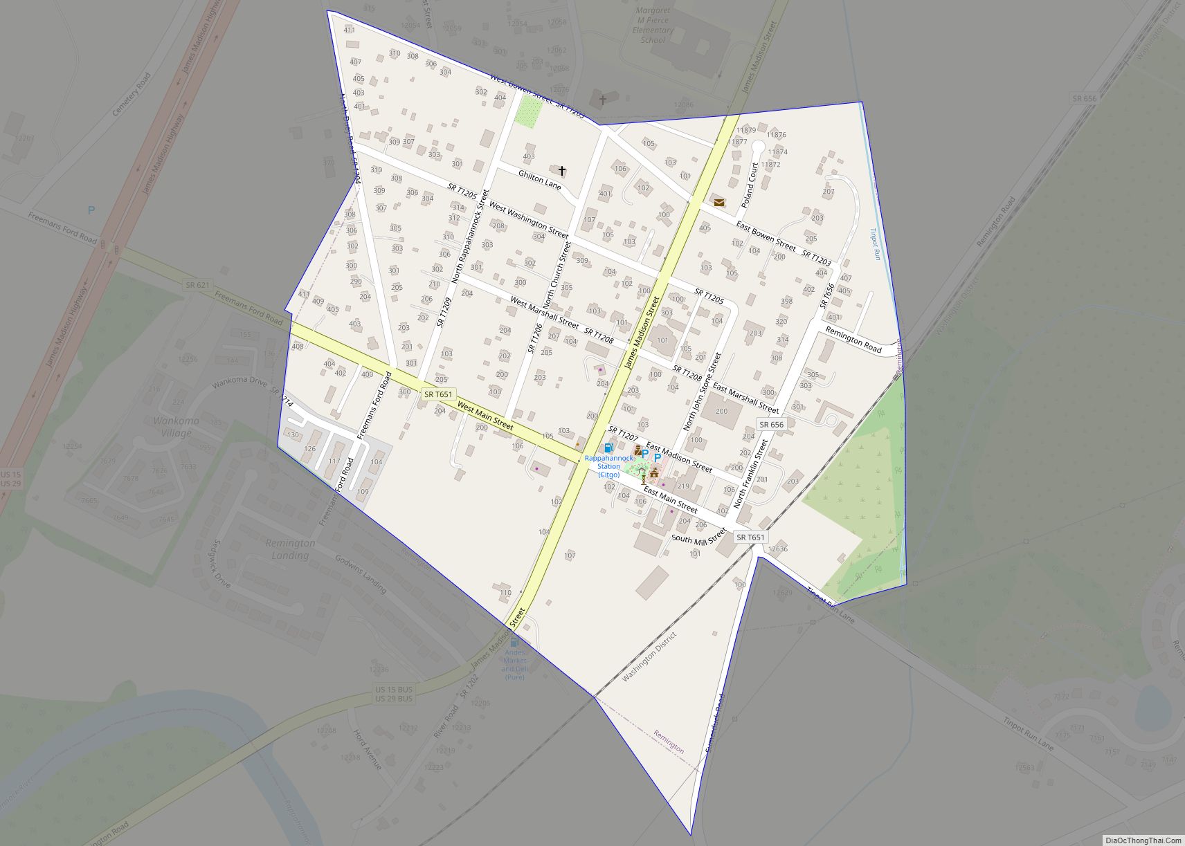
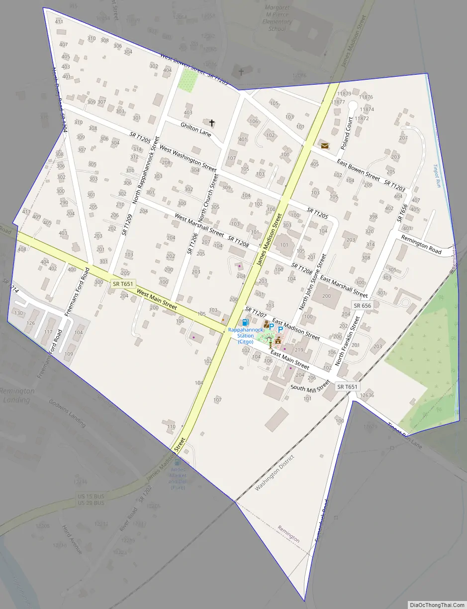
Remington Road Map
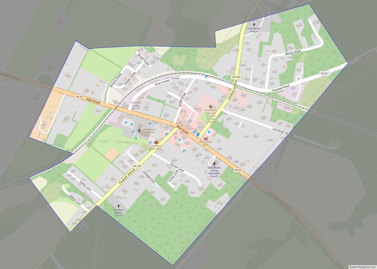
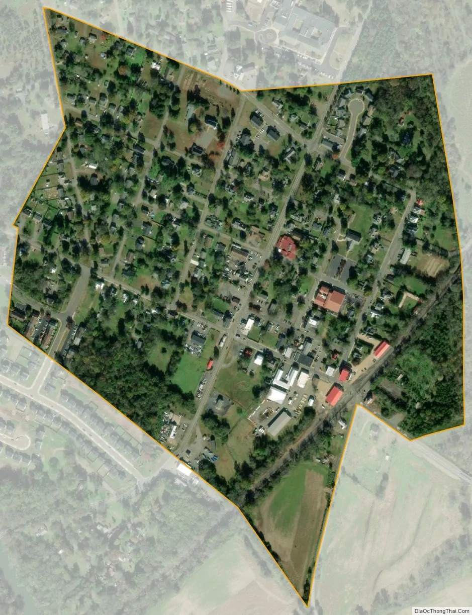
Remington city Satellite Map
Geography
Remington is located at 38°32′8″N 77°48′29″W / 38.53556°N 77.80806°W / 38.53556; -77.80806 (38.535464, −77.808117).
According to the United States Census Bureau, the town has a total area of 0.2 square miles (0.6 km), all of it land.
See also
Map of Virginia State and its subdivision:- Accomack
- Albemarle
- Alexandria
- Alleghany
- Amelia
- Amherst
- Appomattox
- Arlington
- Augusta
- Bath
- Bedford
- Bedford City
- Bland
- Botetourt
- Bristol
- Brunswick
- Buchanan
- Buckingham
- Buena Vista
- Campbell
- Caroline
- Carroll
- Charles City
- Charlotte
- Charlottesville
- Chesapeake
- Chesterfield
- Clarke
- Clifton Forge City
- Colonial Heights
- Covington
- Craig
- Culpeper
- Cumberland
- Danville
- Dickenson
- Dinwiddie
- Emporia
- Essex
- Fairfax
- Fairfax City
- Falls Church
- Fauquier
- Floyd
- Fluvanna
- Franklin
- Frederick
- Fredericksburg
- Galax
- Giles
- Gloucester
- Goochland
- Grayson
- Greene
- Greensville
- Halifax
- Hampton
- Hanover
- Harrisonburg
- Henrico
- Henry
- Highland
- Hopewell
- Isle of Wight
- James City
- King and Queen
- King George
- King William
- Lancaster
- Lee
- Lexington
- Loudoun
- Louisa
- Lunenburg
- Lynchburg
- Madison
- Manassas
- Manassas Park
- Martinsville
- Mathews
- Mecklenburg
- Middlesex
- Montgomery
- Nelson
- New Kent
- Newport News
- Norfolk
- Northampton
- Northumberland
- Norton
- Nottoway
- Orange
- Page
- Patrick
- Petersburg
- Pittsylvania
- Poquoson
- Portsmouth
- Powhatan
- Prince Edward
- Prince George
- Prince William
- Pulaski
- Radford
- Rappahannock
- Richmond
- Roanoke
- Roanoke City
- Rockbridge
- Rockingham
- Russell
- Salem
- Scott
- Shenandoah
- Smyth
- Southampton
- Spotsylvania
- Stafford
- Staunton
- Suffolk
- Surry
- Sussex
- Tazewell
- Virginia Beach
- Warren
- Washington
- Waynesboro
- Westmoreland
- Williamsburg
- Winchester
- Wise
- Wythe
- York
- Alabama
- Alaska
- Arizona
- Arkansas
- California
- Colorado
- Connecticut
- Delaware
- District of Columbia
- Florida
- Georgia
- Hawaii
- Idaho
- Illinois
- Indiana
- Iowa
- Kansas
- Kentucky
- Louisiana
- Maine
- Maryland
- Massachusetts
- Michigan
- Minnesota
- Mississippi
- Missouri
- Montana
- Nebraska
- Nevada
- New Hampshire
- New Jersey
- New Mexico
- New York
- North Carolina
- North Dakota
- Ohio
- Oklahoma
- Oregon
- Pennsylvania
- Rhode Island
- South Carolina
- South Dakota
- Tennessee
- Texas
- Utah
- Vermont
- Virginia
- Washington
- West Virginia
- Wisconsin
- Wyoming