Saxis is a town in Accomack County, Virginia, United States. The population was 241 at the 2010 census.
| Name: | Saxis town |
|---|---|
| LSAD Code: | 43 |
| LSAD Description: | town (suffix) |
| State: | Virginia |
| County: | Accomack County |
| Elevation: | 7 ft (2 m) |
| Total Area: | 0.41 sq mi (1.06 km²) |
| Land Area: | 0.41 sq mi (1.05 km²) |
| Water Area: | 0.01 sq mi (0.01 km²) |
| Total Population: | 241 |
| Population Density: | 571.0/sq mi (220.48/km²) |
| ZIP code: | 23427 |
| Area code: | 757, 948 (planned) |
| FIPS code: | 5170576 |
| GNISfeature ID: | 1500033 |
Online Interactive Map
Click on ![]() to view map in "full screen" mode.
to view map in "full screen" mode.
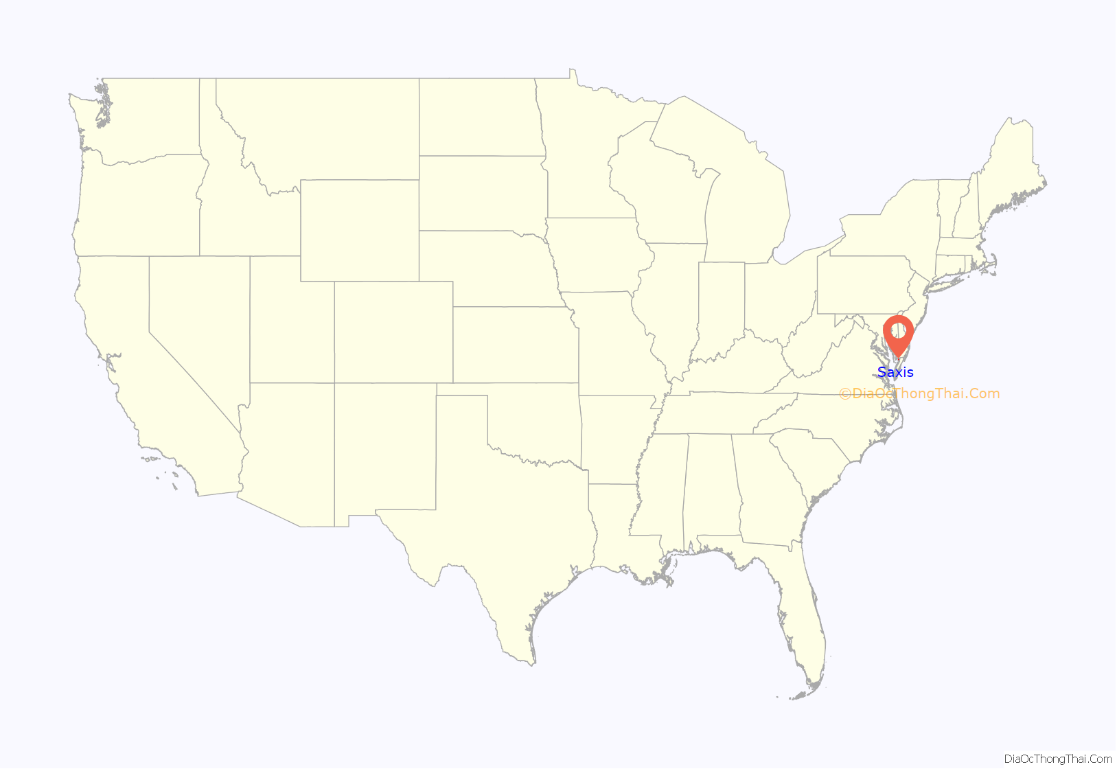
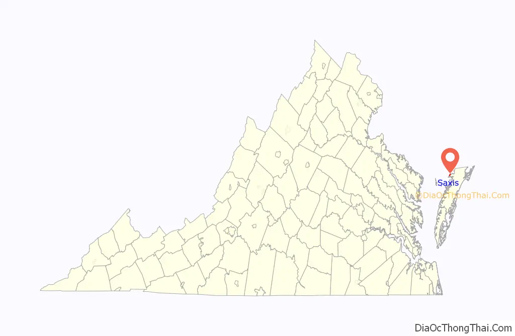
Saxis location map. Where is Saxis town?
History
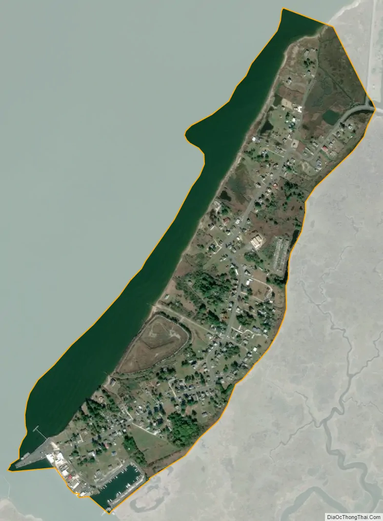
Saxis Island juts into Pocomoke Sound and is separated from the rest of Accomack County by Freeschool Marsh. The community that exists on the island began as a single farmstead. The community grew in size throughout the 1800s and was incorporated in 1959.
From as early as 8000 BC through the period of European contact in the seventeenth century, prehistoric populations periodically visited Saxis Island, probably to procure plants, shellfish, and game from its rich marine and marsh environments. The earliest documentary related to Saxis occurs on Capt. John Smith’s map of the Chesapeake Bay region and in his published description of an exploratory voyage in the summer of 1608. During a foray up the Pocomoke Sound, Smith and his party encountered a village inhabited by the Pocomoke Indians along the south shore of the sound. By the 1630s, though, fur traders based in Maryland and rival Virginia traders on Kent Island were active all along the bay side of the Eastern Shore. Due to its isolation—separated from the Eastern Shore mainland by maritime tidal marsh and bounded by water on the north, south, and west—the peninsula has been known as Saxis Island since European settlers and speculators claimed land there beginning in 1661. When land was first patented by European settlers in 1666, Saxis Island was divided into two sections; the north end, the 150-acre property of Robert Sikes was known as “Sikes’s Island,” and the remaining 200-acre parcel to the south was owned by George Parker who called his land “St. George’s Island.” The division is still partly visible by a drainage ditch along Saxis Road.
By 1860, the population had risen to 169 residents, including 15 free blacks. Early in the Civil War, Pocomoke Sound became a center of smuggling supplies for Confederates through a Union blockade of the Chesapeake Bay. Marking the line between the Union (Maryland) and Confederacy (Virginia), smugglers could easily cross from one zone to another without detection. In response, a Union naval flotilla was sent to patrol the local waters and interrupt smuggling operations. On November 16, 1861, the Union Army quickly marched south from the Maryland line and occupied the Eastern Shore of Virginia unopposed. At the same time shore parties from three Union ships came ashore on Saxis to obtain supplies. After the Union gained control of the Eastern Shore, local tradition holds, at least two vessels from Saxis engaged in blockade running, carrying supplies to Confederate troops in Virginia on the western shore of the Chesapeake Bay. Besides the unconfirmed oral tradition of local blockade runners, Saxis is mentioned in Union reports and correspondence as the site of capture of blockade running vessels based in other ports of the Eastern Shore.
Fishing and oyster dredging prospered as commercial enterprises on the island beginning in the 1860s. In 1866, the extension of the Pennsylvania Railroad to nearby Crisfield, Maryland, helped to spur local growth of commercial oystering. The seafood industry on Saxis boomed at the beginning of the twentieth century, with the 1903 construction of an unconnected wharf 650 yards offshore at the edge of the shipping channel. After the Civil War, the steamers “Maggie” and “The Eastern Shore” carried the seafood products of Saxis to the Northern cities. The steamers also brought many visitors to Saxis at that time.
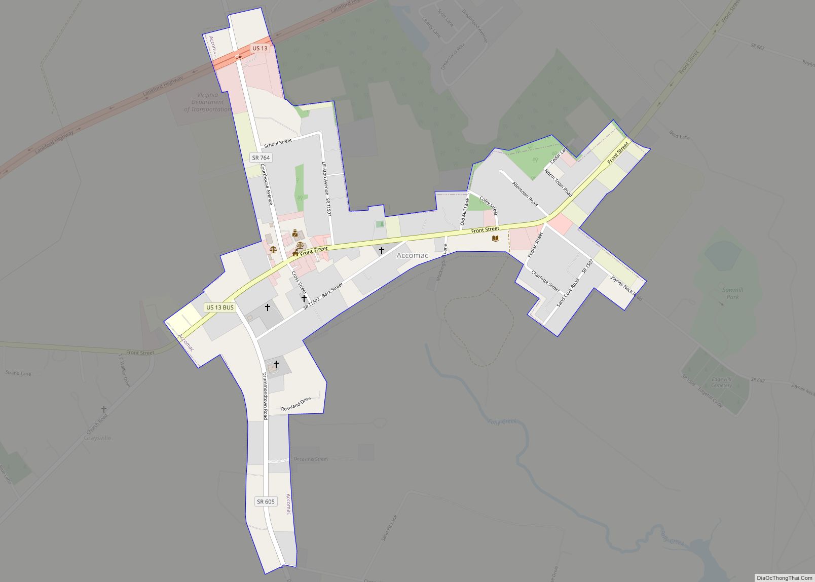
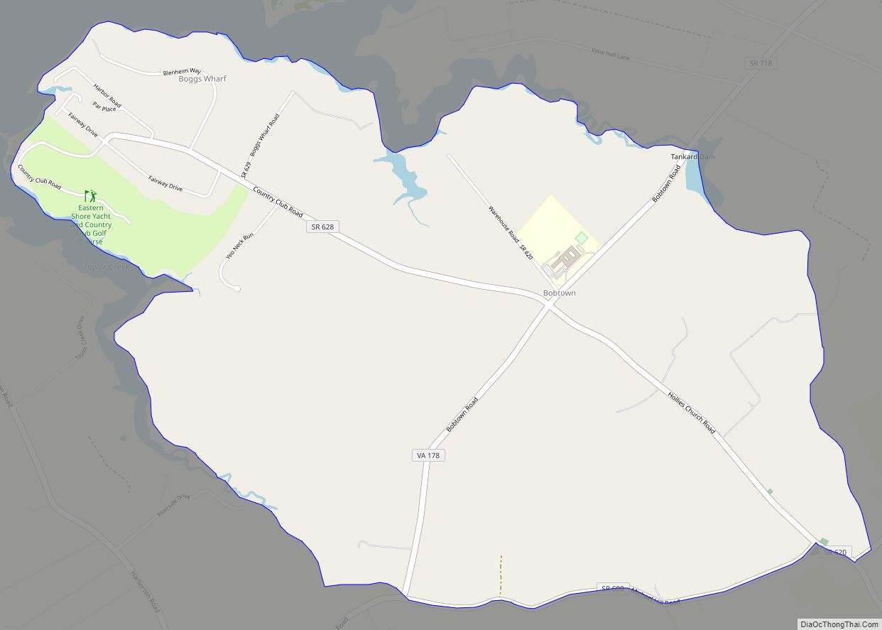
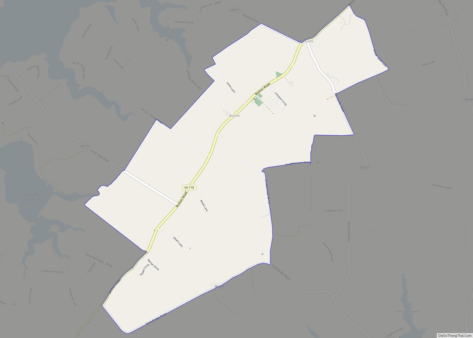
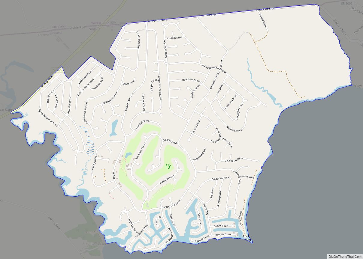
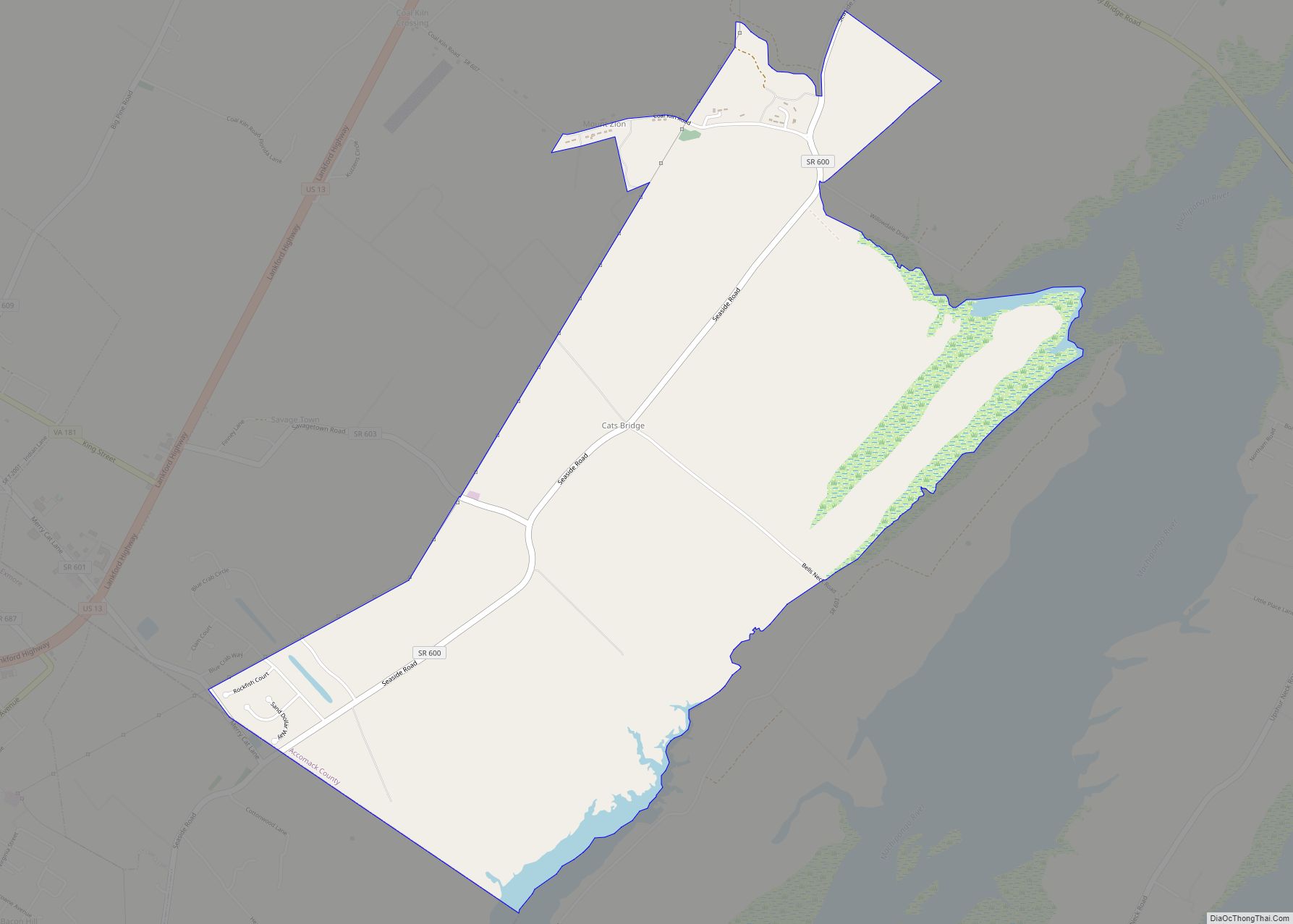
Saxis Road Map
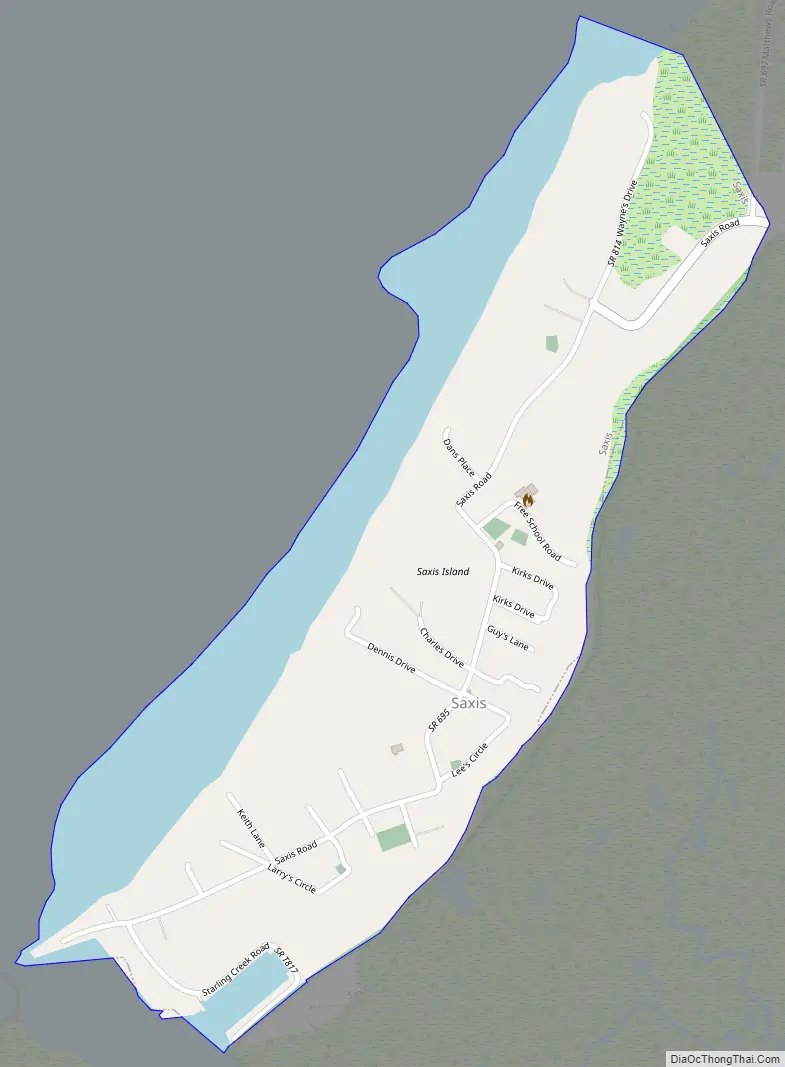
Saxis city Satellite Map
Geography
Saxis is located at 37°55′33″N 75°43′23″W / 37.92583°N 75.72306°W / 37.92583; -75.72306 (37.925825, −75.723184).
According to the United States Census Bureau, the town has a total area of 0.42 square miles (1.1 km), of which 0.42 square miles (1.1 km) is land and 0.004 square miles (0.01 km), or 1.30%, is water. Although water does not completely surround Saxis Island, the name is appropriate because of the landform’s geographic isolation. Separated from the mainland by the maritime tidal Freeschool Marsh on the east, Saxis is bounded by shallow waters on the south (Starling Creek), west (Pocomoke Sound), and north (Robin Hood Bay).
It has an elevation of 7 feet.
See also
Map of Virginia State and its subdivision:- Accomack
- Albemarle
- Alexandria
- Alleghany
- Amelia
- Amherst
- Appomattox
- Arlington
- Augusta
- Bath
- Bedford
- Bedford City
- Bland
- Botetourt
- Bristol
- Brunswick
- Buchanan
- Buckingham
- Buena Vista
- Campbell
- Caroline
- Carroll
- Charles City
- Charlotte
- Charlottesville
- Chesapeake
- Chesterfield
- Clarke
- Clifton Forge City
- Colonial Heights
- Covington
- Craig
- Culpeper
- Cumberland
- Danville
- Dickenson
- Dinwiddie
- Emporia
- Essex
- Fairfax
- Fairfax City
- Falls Church
- Fauquier
- Floyd
- Fluvanna
- Franklin
- Frederick
- Fredericksburg
- Galax
- Giles
- Gloucester
- Goochland
- Grayson
- Greene
- Greensville
- Halifax
- Hampton
- Hanover
- Harrisonburg
- Henrico
- Henry
- Highland
- Hopewell
- Isle of Wight
- James City
- King and Queen
- King George
- King William
- Lancaster
- Lee
- Lexington
- Loudoun
- Louisa
- Lunenburg
- Lynchburg
- Madison
- Manassas
- Manassas Park
- Martinsville
- Mathews
- Mecklenburg
- Middlesex
- Montgomery
- Nelson
- New Kent
- Newport News
- Norfolk
- Northampton
- Northumberland
- Norton
- Nottoway
- Orange
- Page
- Patrick
- Petersburg
- Pittsylvania
- Poquoson
- Portsmouth
- Powhatan
- Prince Edward
- Prince George
- Prince William
- Pulaski
- Radford
- Rappahannock
- Richmond
- Roanoke
- Roanoke City
- Rockbridge
- Rockingham
- Russell
- Salem
- Scott
- Shenandoah
- Smyth
- Southampton
- Spotsylvania
- Stafford
- Staunton
- Suffolk
- Surry
- Sussex
- Tazewell
- Virginia Beach
- Warren
- Washington
- Waynesboro
- Westmoreland
- Williamsburg
- Winchester
- Wise
- Wythe
- York
- Alabama
- Alaska
- Arizona
- Arkansas
- California
- Colorado
- Connecticut
- Delaware
- District of Columbia
- Florida
- Georgia
- Hawaii
- Idaho
- Illinois
- Indiana
- Iowa
- Kansas
- Kentucky
- Louisiana
- Maine
- Maryland
- Massachusetts
- Michigan
- Minnesota
- Mississippi
- Missouri
- Montana
- Nebraska
- Nevada
- New Hampshire
- New Jersey
- New Mexico
- New York
- North Carolina
- North Dakota
- Ohio
- Oklahoma
- Oregon
- Pennsylvania
- Rhode Island
- South Carolina
- South Dakota
- Tennessee
- Texas
- Utah
- Vermont
- Virginia
- Washington
- West Virginia
- Wisconsin
- Wyoming