South Riding is a census-designated place and planned community in Loudoun County, Virginia, United States. The South Riding homeowner association was founded in January 1995 to provide services to the community. Neighboring U.S. Route 50 and State Route 28 provide access to the Dulles/Reston/Tysons Corner technology corridor and other major employment centers in Northern Virginia and Washington, D.C.
In 2010, the population was 24,256. In 2019, the United States Census Bureau estimated it to be 31,515.
| Name: | South Riding CDP |
|---|---|
| LSAD Code: | 57 |
| LSAD Description: | CDP (suffix) |
| State: | Virginia |
| County: | Loudoun County |
| Founded: | January 1995 |
| Elevation: | 295 ft (90 m) |
| Total Area: | 6.92 sq mi (17.92 km²) |
| Land Area: | 6.85 sq mi (17.73 km²) |
| Water Area: | 0.07 sq mi (0.19 km²) |
| Total Population: | 24,256 |
| Population Density: | 3,544/sq mi (1,368.3/km²) |
| ZIP code: | 20152 (Chantilly) |
| Area code: | 703 |
| FIPS code: | 5174100 |
| GNISfeature ID: | 2584921 |
Online Interactive Map
Click on ![]() to view map in "full screen" mode.
to view map in "full screen" mode.
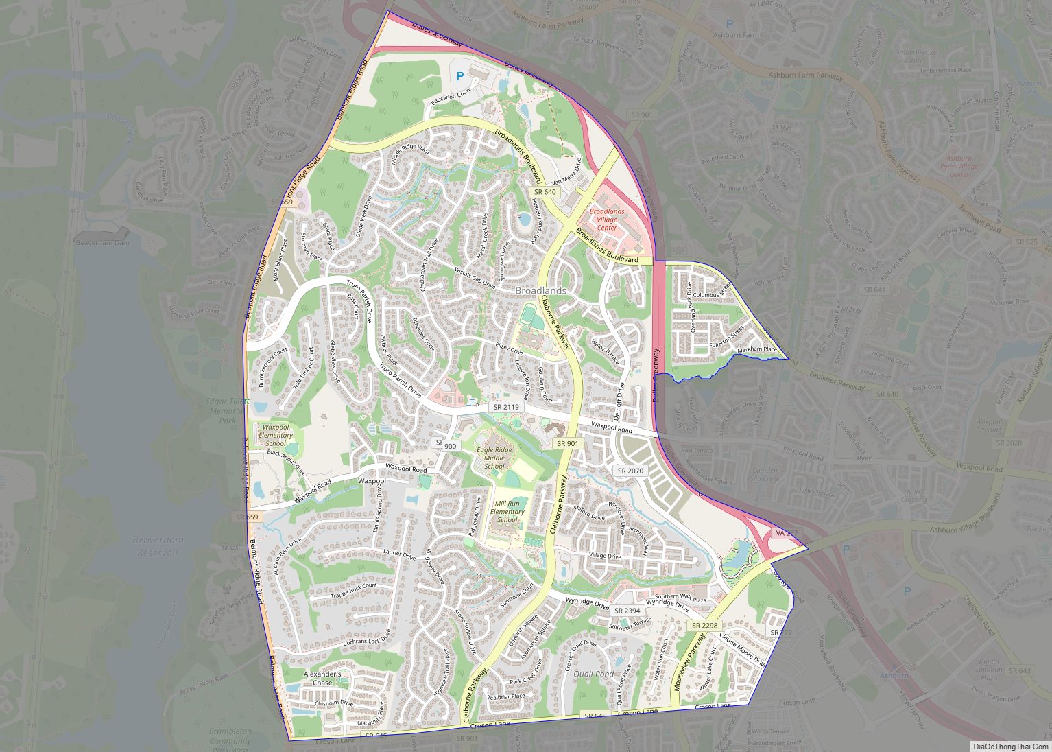
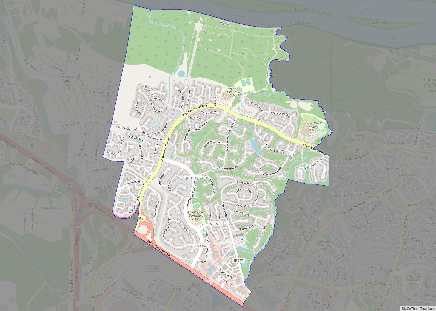
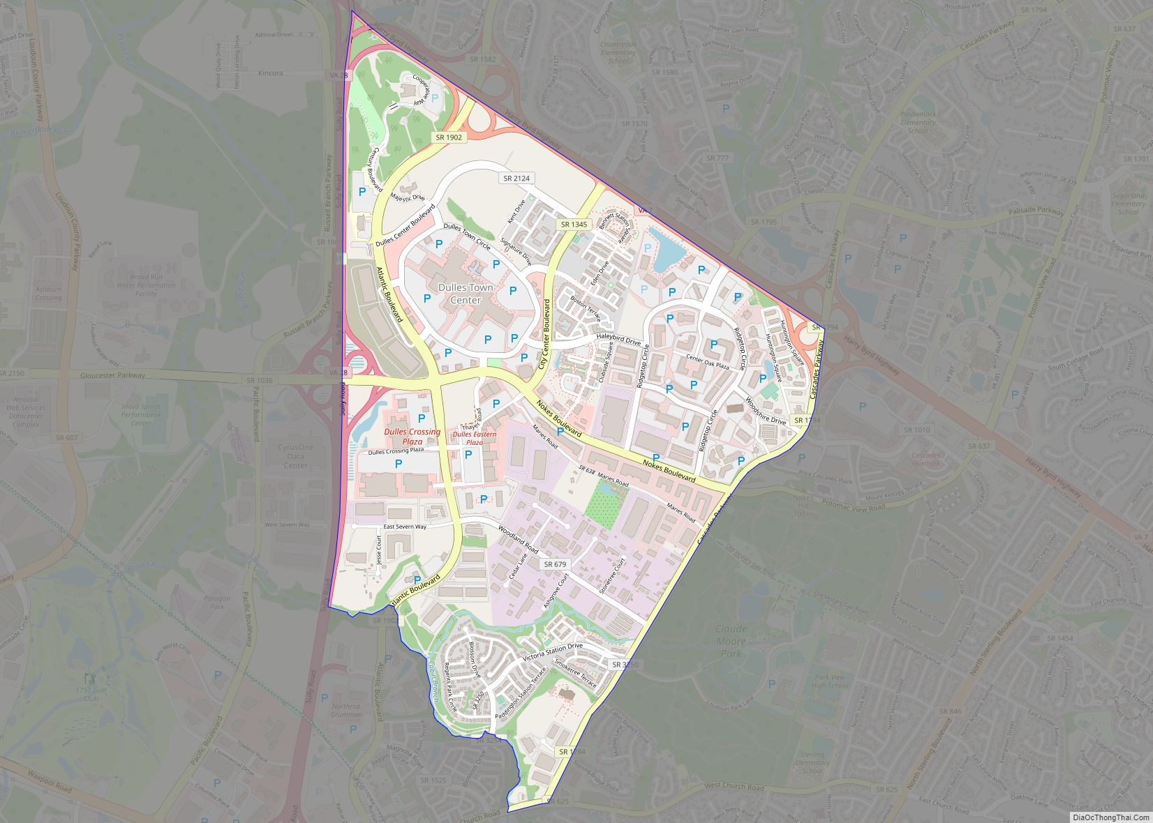
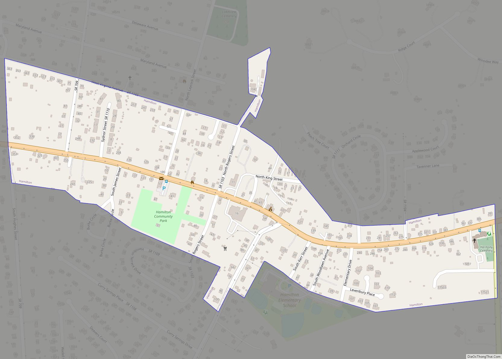
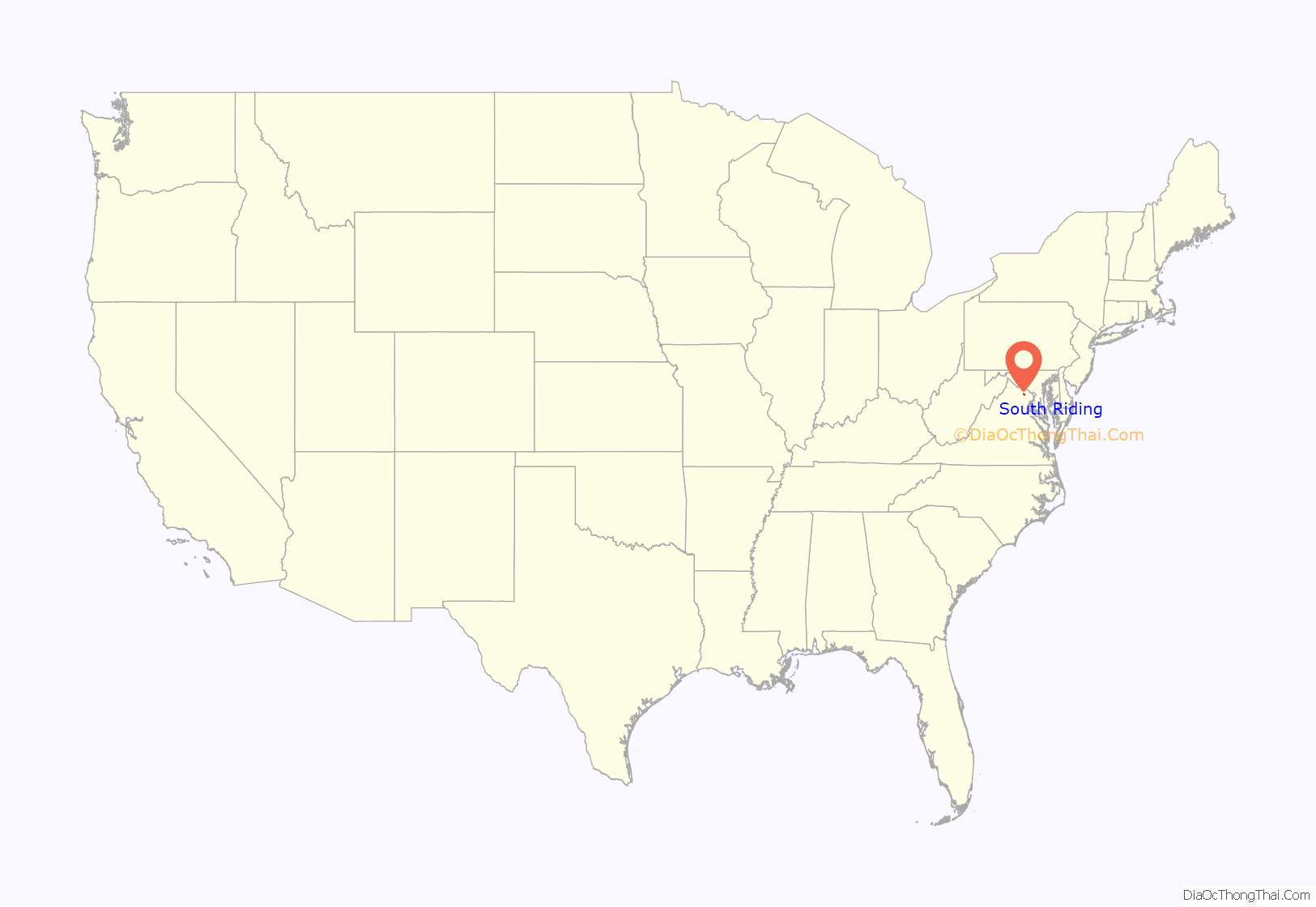
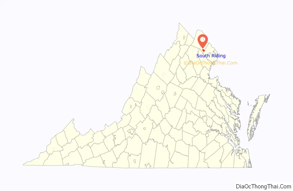
South Riding location map. Where is South Riding CDP?
History
Guiding principles
According to South Riding Proprietary, its mission is “To promote the health, safety, welfare and interests of all residents, preserving property values, enhancing the aesthetic beauty and fostering a spirit of community for all members.” The South Riding vision is to create the best community to live and raise a family in Northern Virginia.
Establishment and development
In January 1995, the Declarant of developers who owned the land established South Riding Proprietary as a not for profit corporation, as a way of providing services to residents of what became South Riding. In 2009, South Riding Proprietary was granted 501(c)(4) status by the Internal Revenue Service. The Proprietary continues to own and govern South Riding.
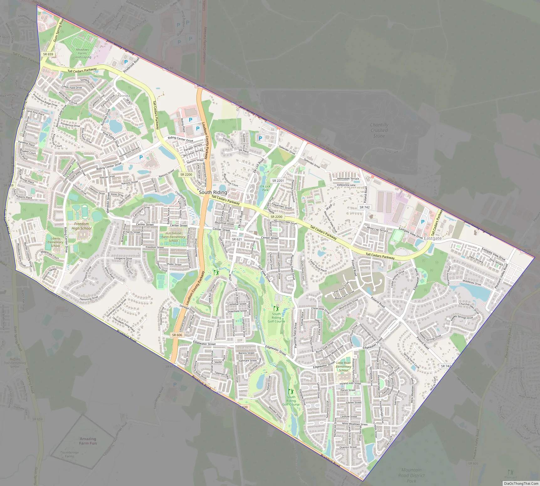
South Riding Road Map
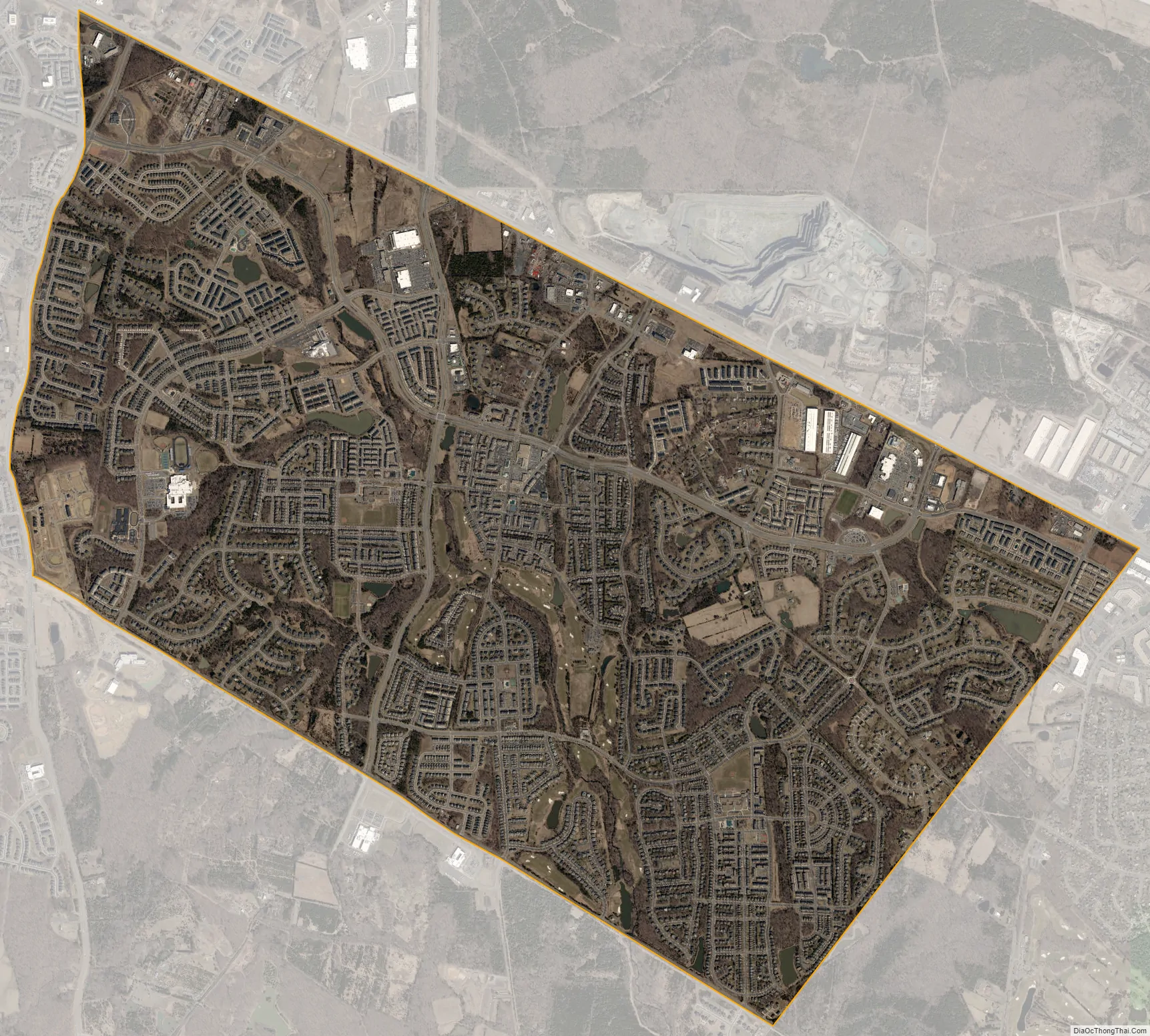
South Riding city Satellite Map
Geography
South Riding is located in southeastern Loudoun County. Neighboring communities are Arcola and Dulles to the north, Stone Ridge to the west, Conklin to the south, Schneider Crossroads to the southeast, and Chantilly in Fairfax County to the east.
According to the United States Census Bureau, the South Riding CDP has a total area of 6.9 square miles (17.9 km), of which 0.1 square miles (0.2 km), or 1.05%, are water. The community is drained by Elklick Run, a south-flowing tributary of Cub Run and part of the Bull Run watershed flowing south to the Occoquan River and eventually the tidal Potomac River.
See also
Map of Virginia State and its subdivision:- Accomack
- Albemarle
- Alexandria
- Alleghany
- Amelia
- Amherst
- Appomattox
- Arlington
- Augusta
- Bath
- Bedford
- Bedford City
- Bland
- Botetourt
- Bristol
- Brunswick
- Buchanan
- Buckingham
- Buena Vista
- Campbell
- Caroline
- Carroll
- Charles City
- Charlotte
- Charlottesville
- Chesapeake
- Chesterfield
- Clarke
- Clifton Forge City
- Colonial Heights
- Covington
- Craig
- Culpeper
- Cumberland
- Danville
- Dickenson
- Dinwiddie
- Emporia
- Essex
- Fairfax
- Fairfax City
- Falls Church
- Fauquier
- Floyd
- Fluvanna
- Franklin
- Frederick
- Fredericksburg
- Galax
- Giles
- Gloucester
- Goochland
- Grayson
- Greene
- Greensville
- Halifax
- Hampton
- Hanover
- Harrisonburg
- Henrico
- Henry
- Highland
- Hopewell
- Isle of Wight
- James City
- King and Queen
- King George
- King William
- Lancaster
- Lee
- Lexington
- Loudoun
- Louisa
- Lunenburg
- Lynchburg
- Madison
- Manassas
- Manassas Park
- Martinsville
- Mathews
- Mecklenburg
- Middlesex
- Montgomery
- Nelson
- New Kent
- Newport News
- Norfolk
- Northampton
- Northumberland
- Norton
- Nottoway
- Orange
- Page
- Patrick
- Petersburg
- Pittsylvania
- Poquoson
- Portsmouth
- Powhatan
- Prince Edward
- Prince George
- Prince William
- Pulaski
- Radford
- Rappahannock
- Richmond
- Roanoke
- Roanoke City
- Rockbridge
- Rockingham
- Russell
- Salem
- Scott
- Shenandoah
- Smyth
- Southampton
- Spotsylvania
- Stafford
- Staunton
- Suffolk
- Surry
- Sussex
- Tazewell
- Virginia Beach
- Warren
- Washington
- Waynesboro
- Westmoreland
- Williamsburg
- Winchester
- Wise
- Wythe
- York
- Alabama
- Alaska
- Arizona
- Arkansas
- California
- Colorado
- Connecticut
- Delaware
- District of Columbia
- Florida
- Georgia
- Hawaii
- Idaho
- Illinois
- Indiana
- Iowa
- Kansas
- Kentucky
- Louisiana
- Maine
- Maryland
- Massachusetts
- Michigan
- Minnesota
- Mississippi
- Missouri
- Montana
- Nebraska
- Nevada
- New Hampshire
- New Jersey
- New Mexico
- New York
- North Carolina
- North Dakota
- Ohio
- Oklahoma
- Oregon
- Pennsylvania
- Rhode Island
- South Carolina
- South Dakota
- Tennessee
- Texas
- Utah
- Vermont
- Virginia
- Washington
- West Virginia
- Wisconsin
- Wyoming