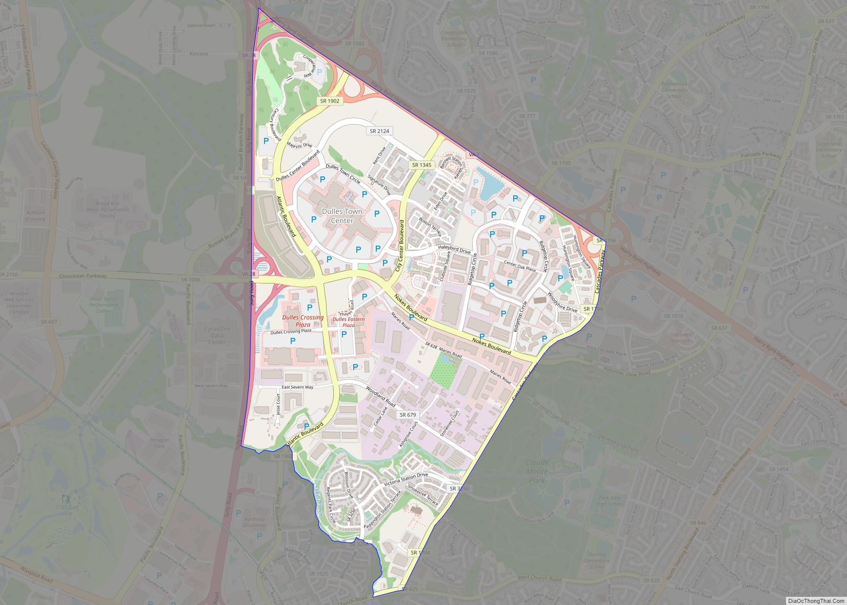
Sterling, Virginia, refers most specifically to a census-designated place (CDP) in Loudoun County, Virginia, United States. The population of the CDP as of the 2010 United States Census was 27,822. The CDP boundaries are confined to a relatively small area between Virginia State Route 28 on the west and Virginia State Route 7 on the northeast, excluding areas near SR 606 and the Dulles Town Center.
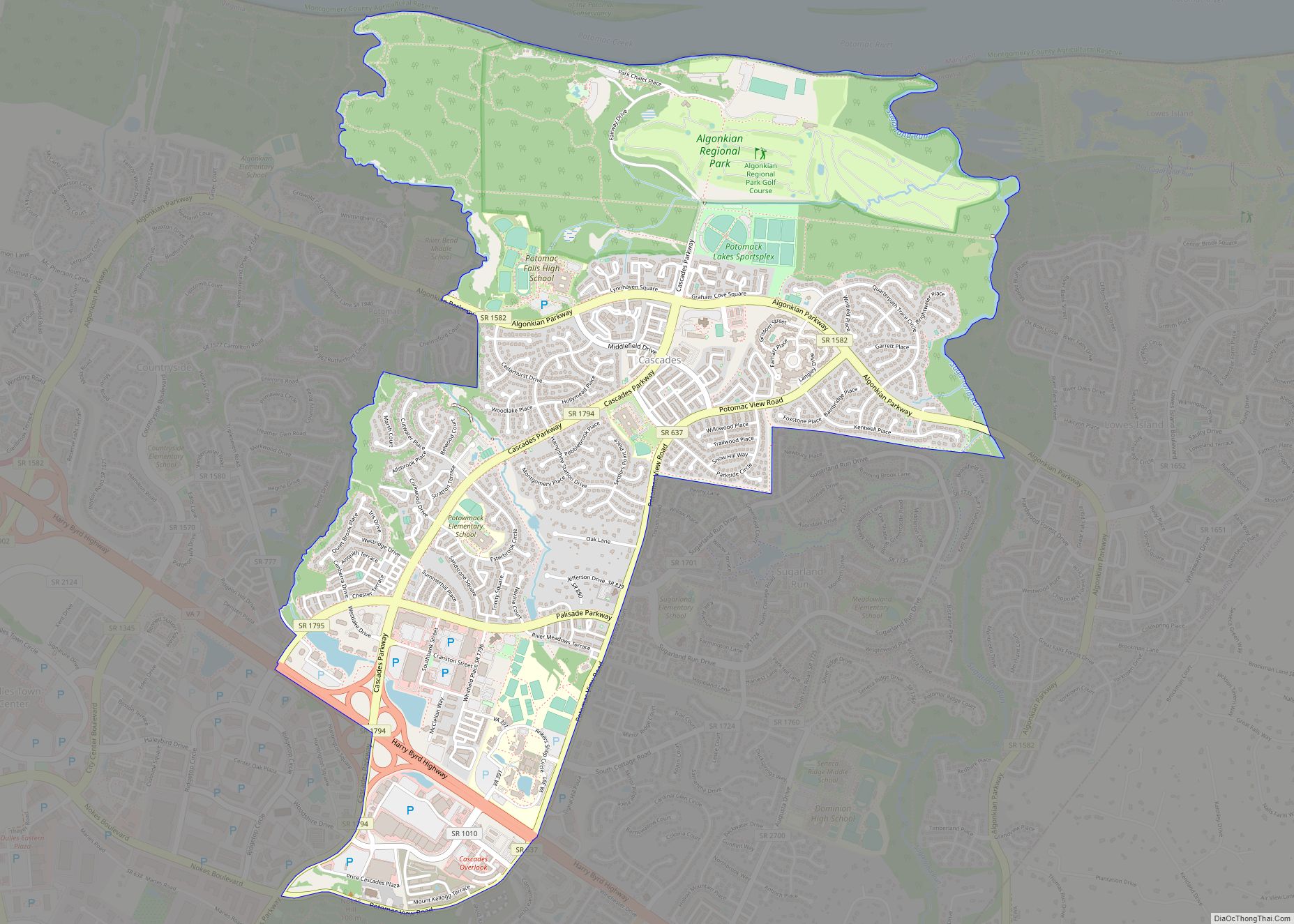
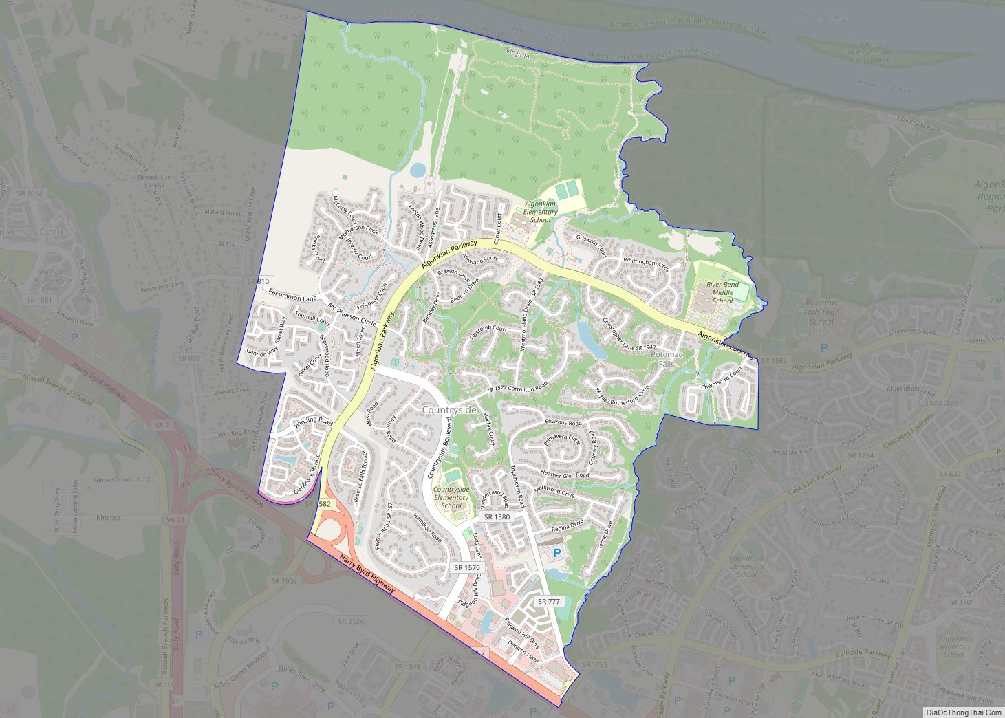
A much wider region has a preferred mailing address of “Sterling, Virginia”, per the United States Postal Service. Other localities included within this larger area include Arcola, Cascades, Countryside, Dulles, Dulles Town Center, Oak Grove, and Sugarland Run. The “Greater Sterling” region includes part of Washington Dulles International Airport and the former AOL corporate headquarters. Greater Sterling is also home to the National Weather Service Weather Forecast Office LWX (serving the Baltimore–Washington Metropolitan Area), as well as the Sterling Field Support Center, the National Weather Service test, research, and evaluation center for weather instruments.
The following includes information covering both the CDP and the wider “Greater Sterling” region.
| Name: | Sterling CDP |
|---|---|
| LSAD Code: | 57 |
| LSAD Description: | CDP (suffix) |
| State: | Virginia |
| County: | Loudoun County |
| Elevation: | 295 ft (90 m) |
| Total Area: | 5.48 sq mi (14.19 km²) |
| Land Area: | 5.45 sq mi (14.12 km²) |
| Water Area: | 0.03 sq mi (0.07 km²) |
| Total Population: | 27,822 |
| Population Density: | 5,102/sq mi (1,969.8/km²) |
| ZIP code: | 20164-20166 |
| FIPS code: | 5175376 |
| GNISfeature ID: | 2584925 |
Online Interactive Map
Click on ![]() to view map in "full screen" mode.
to view map in "full screen" mode.
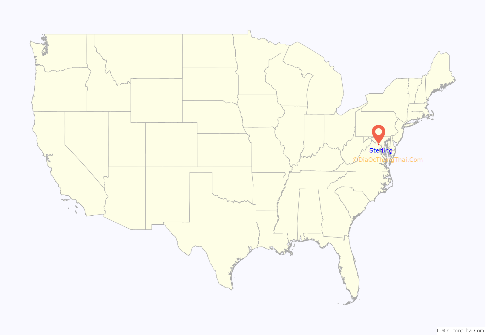
Sterling location map. Where is Sterling CDP?
History
In the beginning of 1962, large farms made up the 1,762 acres (713 ha) of what today is called Sterling Park. Route 7, also known as Leesburg Pike, bordered what used to be Jesse Hughes’s dairy farm. Hughes arrived in Loudoun County in the early 20th century and was a longtime head of the county’s Democrats. Fred Franklin Tavenner, who was somewhat related to Benjamin Franklin, operated vast stretches of Sterling Farm at the southwest fringes of Sterling Park. Tavenner had purchased land from Albert Shaw Jr., who had inherited it from his father Albert B. Shaw, editor and publisher of the American Review of Reviews. One of Shaw’s spreads, totaling 1,640 acres (660 ha), was called “The Experimental Farm” because it was one of the first area farms to receive a U.S. grant for applying “scientific methods”, as Tavenner called them. According to Tavenner, refugees from the Soviet Union ran the farm while Shaw remained in New York City.
Dulles International Airport and the extension of water and sewer lines to the airport began to change the landscape when construction started in 1959. Land prices rose from an average $125 per acre ($310/ha) to $500 per acre ($1,200/ha). During the same year, Marvin T. Broyhill Jr. and his father made plans to develop land in the airport area under the company M.T. Broyhill & Sons Corporation. In late 1961, they decided to buy and incorporated Sterling Park Development Corporation with his son Marvin T. Broyhill as president, and cousin Thomas J. Broyhill as vice president. Between April 28 and December 29 of 1961, they purchased 1,762 acres (713 ha) in 14 parcels for $2,115,784. For the 226-acre (91 ha) Hughes farm along Route 7, they paid $1,700 per acre ($4,200/ha).
M.T. Broyhill & Sons Corporation learned where the right-of-way for Route 28 (Sully Road) would be, and hoped to develop Sterling Park on both sides of it, so they would not have to build a road through Sterling Park. However, Powell B. Harrison, who was instrumental in planning Route 28, insisted that the road be kept generally free of development, for easy access to the airport. Therefore, the Broyhills developed Sterling Park east of Route 28, and had to build their own through road, today’s Sterling Boulevard.
Marvin Broyhill, Jr.’s marketing thoughts were to “put together a prefabricated home marketed by U.S. Steel and sell it for about $17,000 [that is] $3,000 less than a comparable Fairfax County home . . . All homes to have air‑conditioning. Homeowners to have access without membership fees to golf and tennis courts and pools.” Air conditioning was uncommon in homes of that price range at the time. Broyhill’s ideas, except for free golf, are realities today. As selling points, Loudoun’s taxes were less than half of Fairfax’s taxes, Washington was a half-hour away, and the elder Broyhill had envisioned commuter trains on the Washington and Old Dominion Railroad (which, since 1951, had carried only freight). The railroad tracks were the southern boundary of the present Sterling Park.
Initially, Sterling Park residents had to be of the “Caucasian race.” No board member or speaker before the board raised an objection to the clause, a common one in the United States before the 1960s, when discriminatory housing was outlawed by the Fair Housing Act, which was enacted as a follow-up to the Civil Rights Act of 1964. No African American family moved into Sterling Park until August 1966, when the illegality of the clause became apparent. By then, the population of “The Park”, as it had come to be known, had reached 5,000.
The Broad Run Bridge and Tollhouse, Vestal’s Gap Road and Lanesville Historic District, and Arcola Elementary School are listed on the National Register of Historic Places.
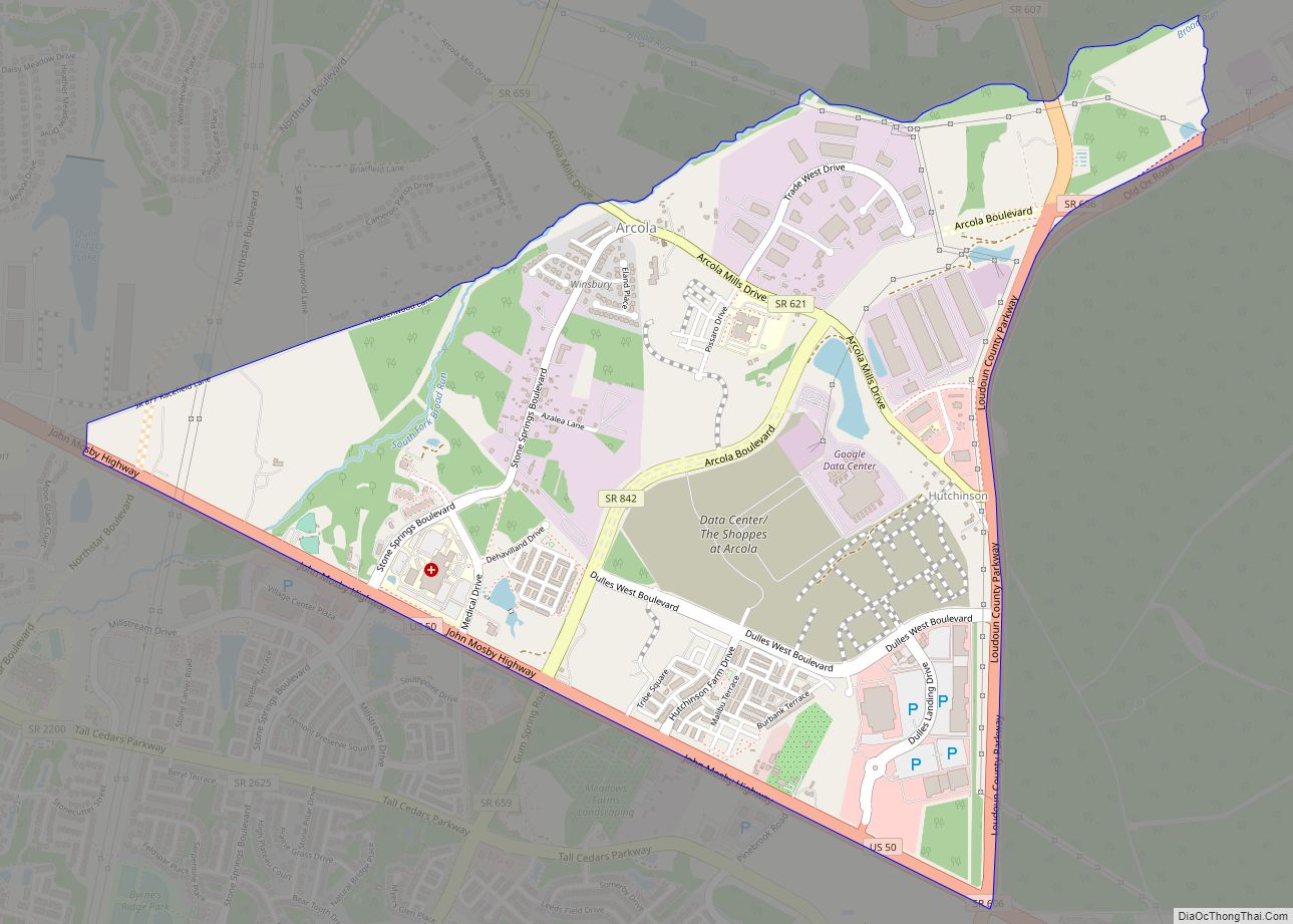
Sterling Road Map
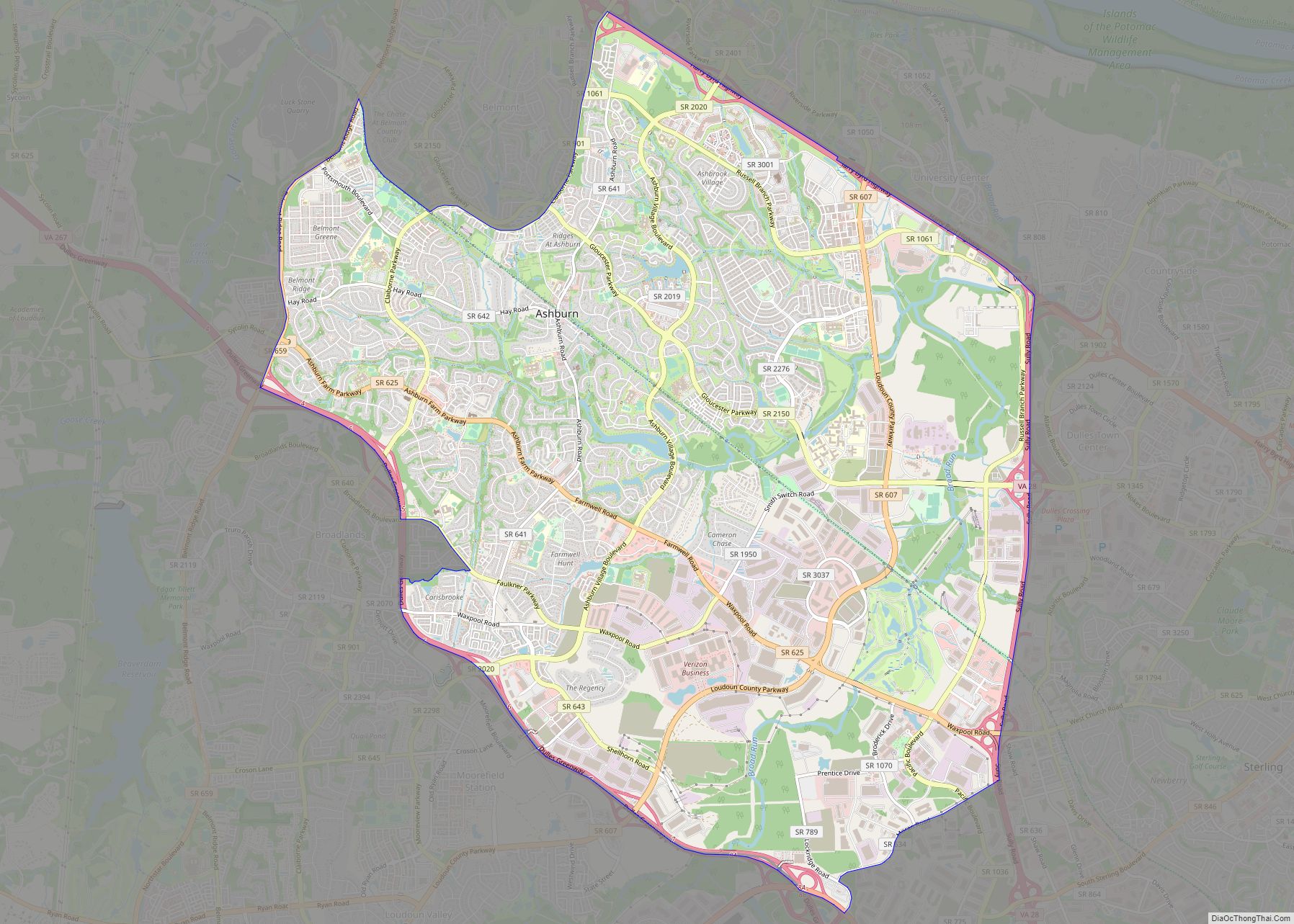
Sterling city Satellite Map
Geography
According to the USGS, Sterling has an average elevation of 289 feet (88 m) above sea level. The original center of Sterling is located at 39°00’22.4″N 77°25’43.0″W. Sterling is part of the Chesapeake Bay watershed, and Greater Sterling borders the Potomac River.
See also
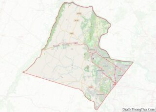
Map of Virginia State and its subdivision:- Accomack
- Albemarle
- Alexandria
- Alleghany
- Amelia
- Amherst
- Appomattox
- Arlington
- Augusta
- Bath
- Bedford
- Bedford City
- Bland
- Botetourt
- Bristol
- Brunswick
- Buchanan
- Buckingham
- Buena Vista
- Campbell
- Caroline
- Carroll
- Charles City
- Charlotte
- Charlottesville
- Chesapeake
- Chesterfield
- Clarke
- Clifton Forge City
- Colonial Heights
- Covington
- Craig
- Culpeper
- Cumberland
- Danville
- Dickenson
- Dinwiddie
- Emporia
- Essex
- Fairfax
- Fairfax City
- Falls Church
- Fauquier
- Floyd
- Fluvanna
- Franklin
- Frederick
- Fredericksburg
- Galax
- Giles
- Gloucester
- Goochland
- Grayson
- Greene
- Greensville
- Halifax
- Hampton
- Hanover
- Harrisonburg
- Henrico
- Henry
- Highland
- Hopewell
- Isle of Wight
- James City
- King and Queen
- King George
- King William
- Lancaster
- Lee
- Lexington
- Loudoun
- Louisa
- Lunenburg
- Lynchburg
- Madison
- Manassas
- Manassas Park
- Martinsville
- Mathews
- Mecklenburg
- Middlesex
- Montgomery
- Nelson
- New Kent
- Newport News
- Norfolk
- Northampton
- Northumberland
- Norton
- Nottoway
- Orange
- Page
- Patrick
- Petersburg
- Pittsylvania
- Poquoson
- Portsmouth
- Powhatan
- Prince Edward
- Prince George
- Prince William
- Pulaski
- Radford
- Rappahannock
- Richmond
- Roanoke
- Roanoke City
- Rockbridge
- Rockingham
- Russell
- Salem
- Scott
- Shenandoah
- Smyth
- Southampton
- Spotsylvania
- Stafford
- Staunton
- Suffolk
- Surry
- Sussex
- Tazewell
- Virginia Beach
- Warren
- Washington
- Waynesboro
- Westmoreland
- Williamsburg
- Winchester
- Wise
- Wythe
- York
- Alabama
- Alaska
- Arizona
- Arkansas
- California
- Colorado
- Connecticut
- Delaware
- District of Columbia
- Florida
- Georgia
- Hawaii
- Idaho
- Illinois
- Indiana
- Iowa
- Kansas
- Kentucky
- Louisiana
- Maine
- Maryland
- Massachusetts
- Michigan
- Minnesota
- Mississippi
- Missouri
- Montana
- Nebraska
- Nevada
- New Hampshire
- New Jersey
- New Mexico
- New York
- North Carolina
- North Dakota
- Ohio
- Oklahoma
- Oregon
- Pennsylvania
- Rhode Island
- South Carolina
- South Dakota
- Tennessee
- Texas
- Utah
- Vermont
- Virginia
- Washington
- West Virginia
- Wisconsin
- Wyoming
