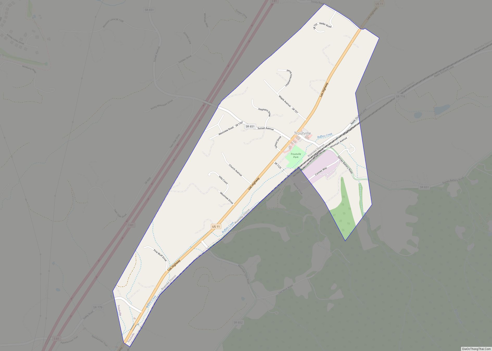
Troutville is a town in Botetourt County, Virginia, United States. The population was 458 at the 2020 census. The town is located along the U.S. Route 11 between Cloverdale and Buchanan. It is part of the Roanoke Metropolitan Statistical Area.
| Name: | Troutville town |
|---|---|
| LSAD Code: | 43 |
| LSAD Description: | town (suffix) |
| State: | Virginia |
| County: | Botetourt County |
| Elevation: | 1,391 ft (424 m) |
| Total Area: | 0.69 sq mi (1.79 km²) |
| Land Area: | 0.69 sq mi (1.79 km²) |
| Water Area: | 0.00 sq mi (0.00 km²) |
| Total Population: | 458 |
| Population Density: | 663.77/sq mi (255.87/km²) |
| ZIP code: | 24175 |
| Area code: | 540 |
| FIPS code: | 5179472 |
| GNISfeature ID: | 1493720 |
| Website: | https://townoftroutville-va.gov/ |
Online Interactive Map
Click on ![]() to view map in "full screen" mode.
to view map in "full screen" mode.
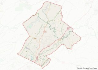
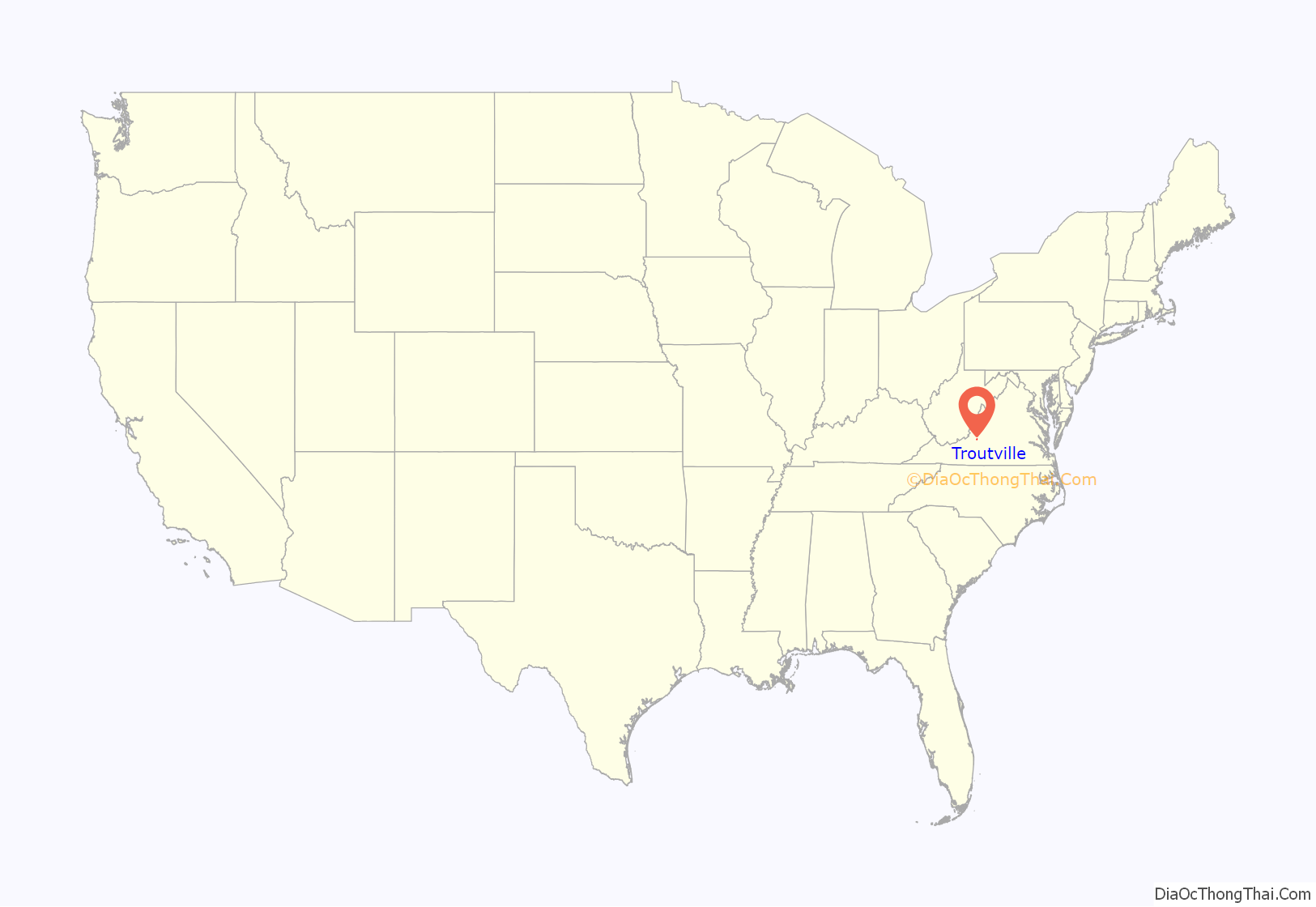
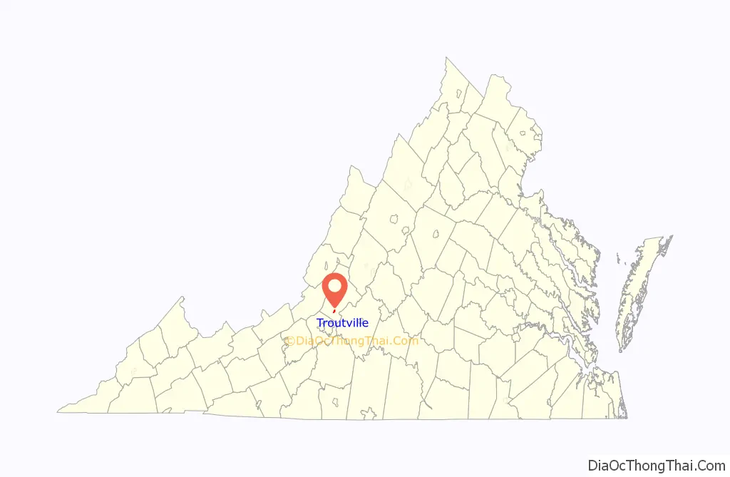
Troutville location map. Where is Troutville town?
History
The railroad reached this location in 1881, and a station was built, but the area had no name. As three nearby houses were occupied by the brothers John, Jim, and Jorge Trout, the area was called Troutsville. It became an important shipping center in the 1890s. In 1895, Troutsville was a thriving town with an active shipping point, farming, canneries, packing houses and factories. The name of the town was later changed to Troutville. The town was chartered on June 4, 1956.
Adrian Cronauer died in a Troutville nursing home.
The Thomas D. Kinzie House and Bryan McDonald Jr. House are listed on the National Register of Historic Places.
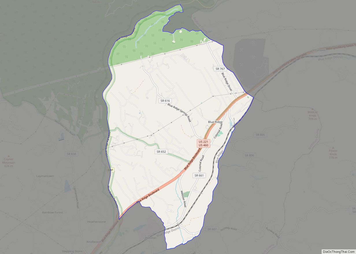
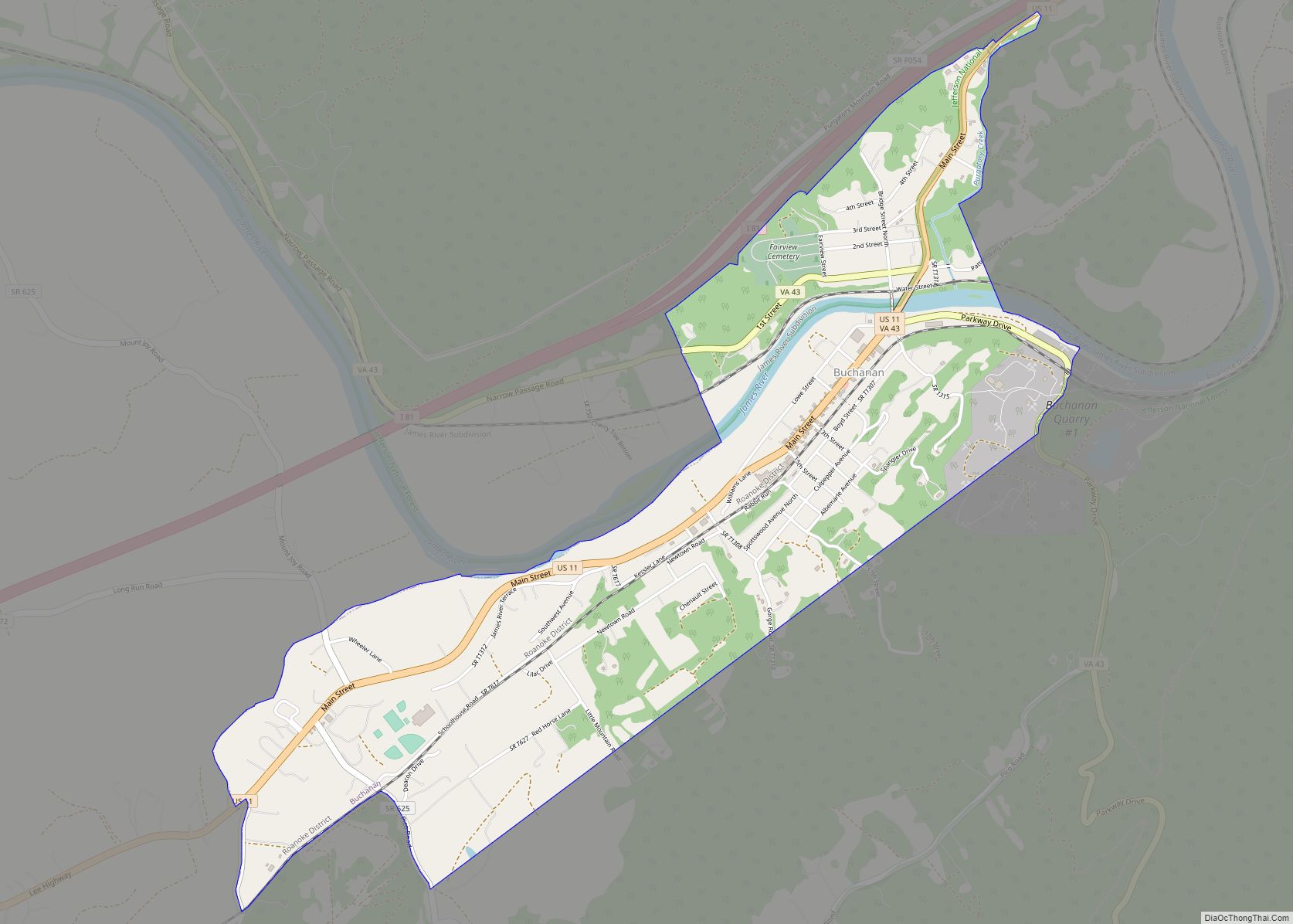
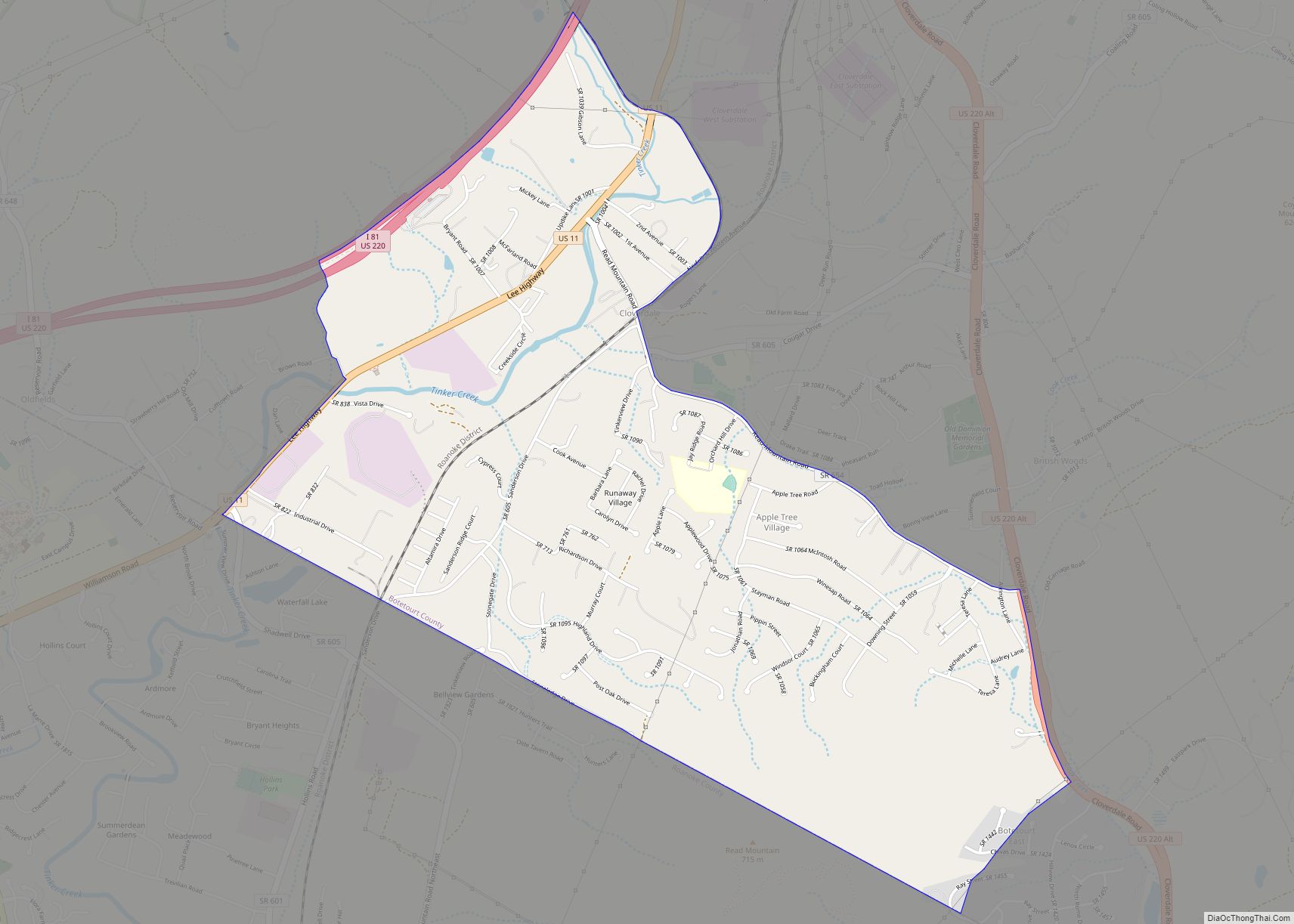
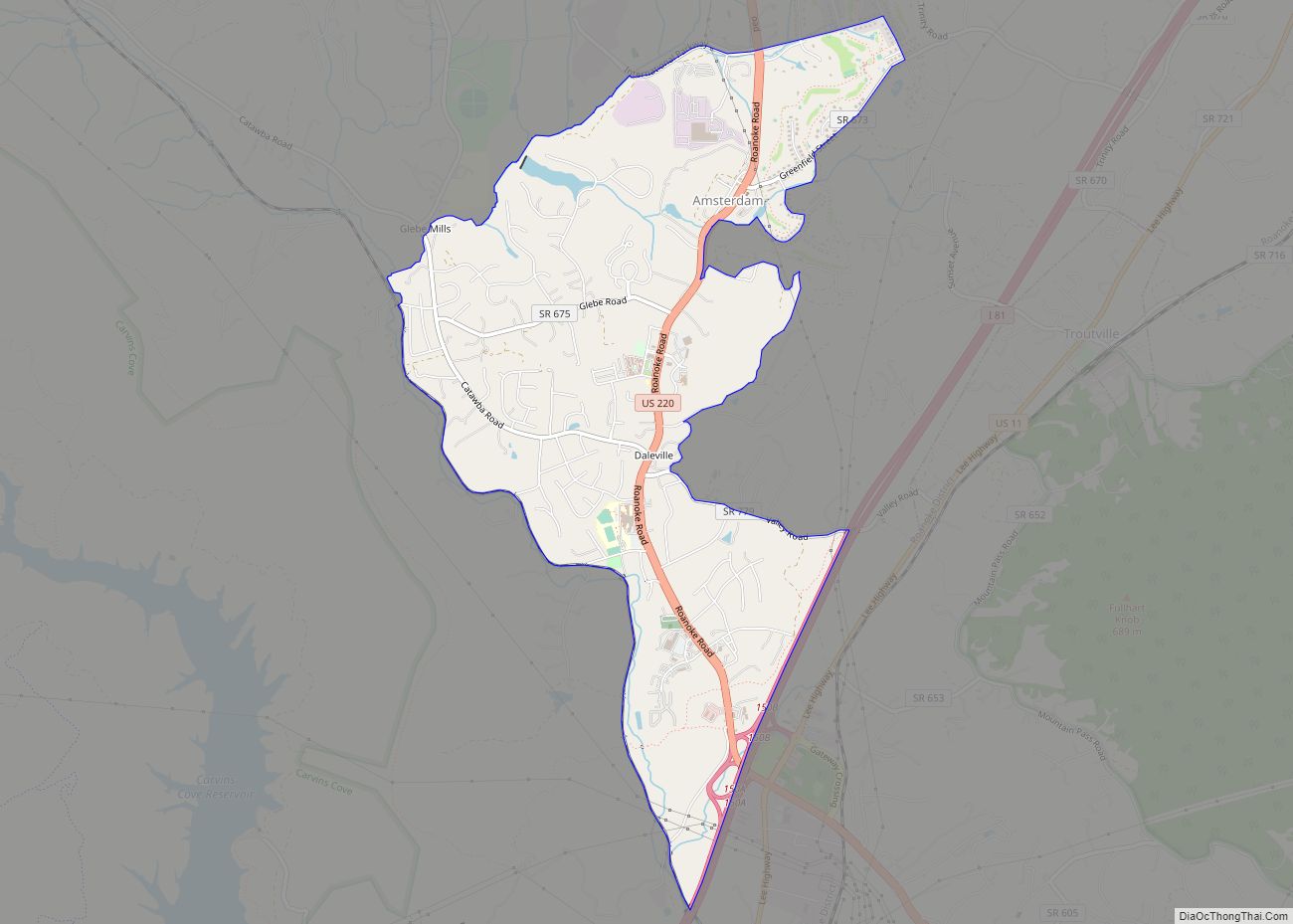
Troutville Road Map
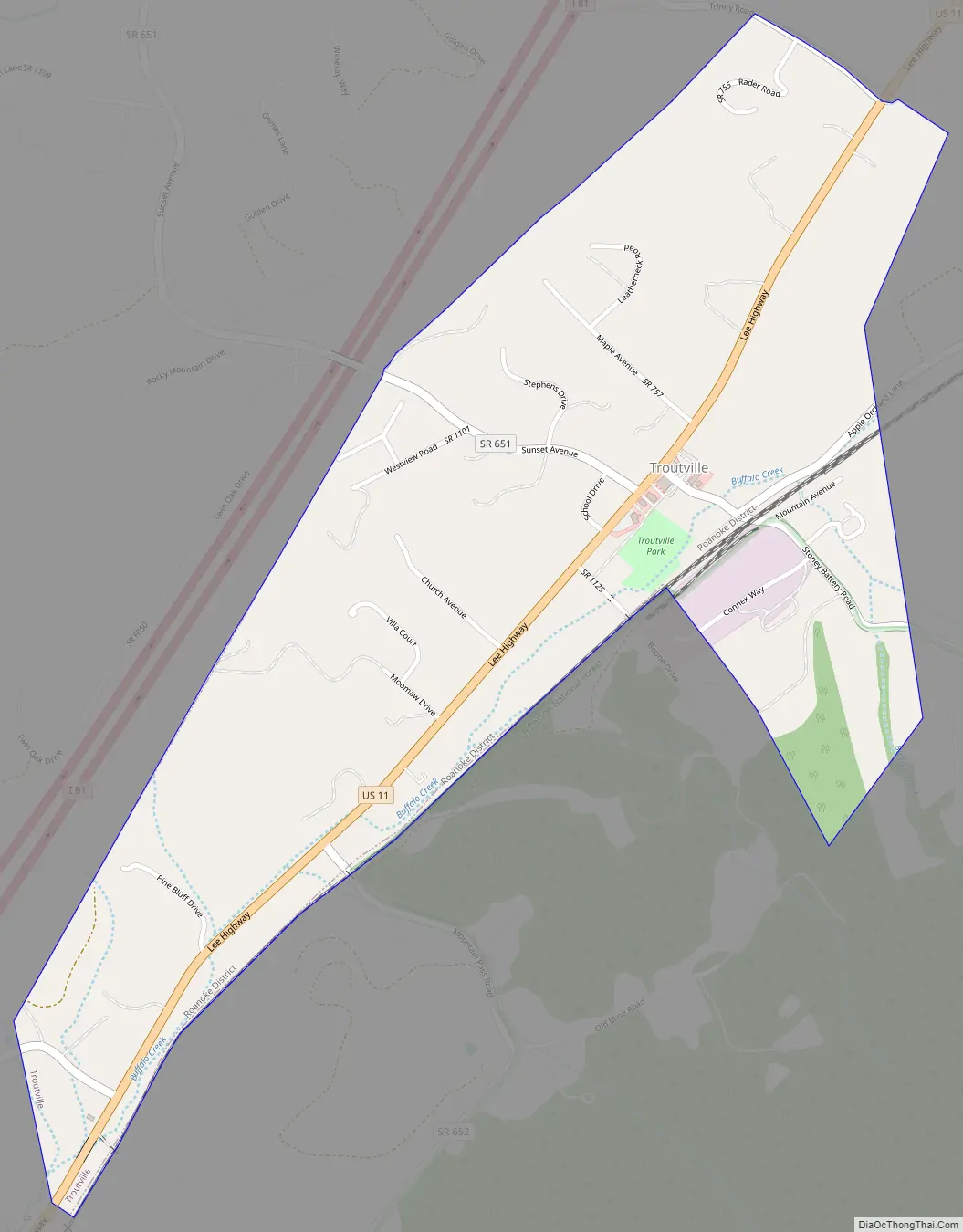
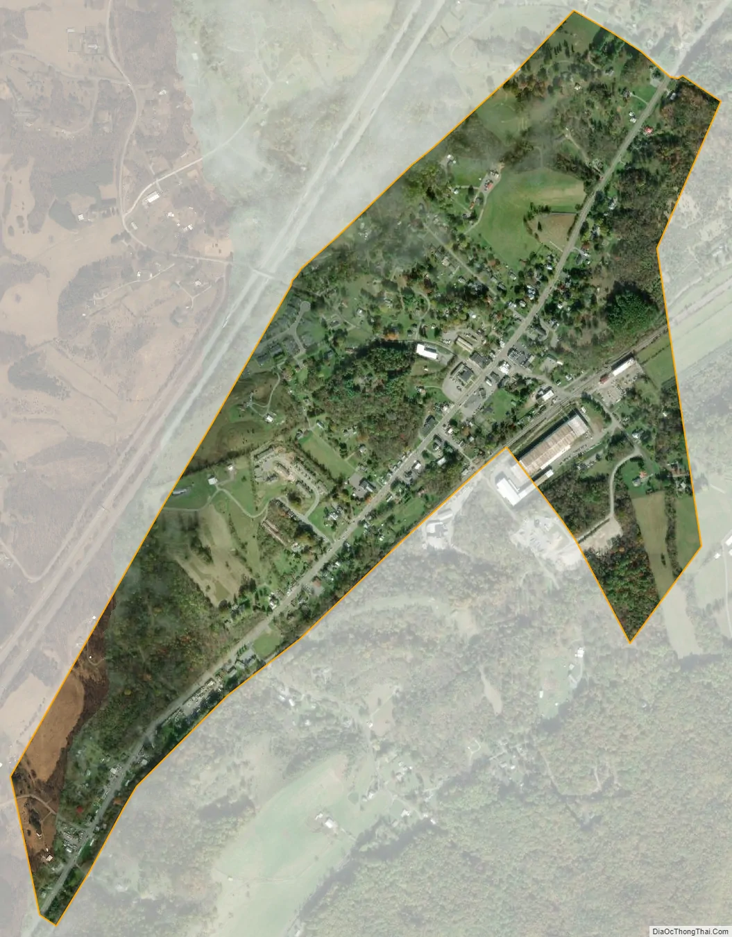
Troutville city Satellite Map
Geography
Troutville is located at 37°24′55″N 79°52′37″W / 37.415406°N 79.876967°W / 37.415406; -79.876967 (37.415406, -79.876967
According to the United States Census Bureau, the town has a total area of 0.9 square mile (2.3 km), all land.
In 2018, Troutville leaders discussed a boundary line adjustment to add 2,600 acres to the town limits, seven times its current size.
See also
Map of Virginia State and its subdivision:- Accomack
- Albemarle
- Alexandria
- Alleghany
- Amelia
- Amherst
- Appomattox
- Arlington
- Augusta
- Bath
- Bedford
- Bedford City
- Bland
- Botetourt
- Bristol
- Brunswick
- Buchanan
- Buckingham
- Buena Vista
- Campbell
- Caroline
- Carroll
- Charles City
- Charlotte
- Charlottesville
- Chesapeake
- Chesterfield
- Clarke
- Clifton Forge City
- Colonial Heights
- Covington
- Craig
- Culpeper
- Cumberland
- Danville
- Dickenson
- Dinwiddie
- Emporia
- Essex
- Fairfax
- Fairfax City
- Falls Church
- Fauquier
- Floyd
- Fluvanna
- Franklin
- Frederick
- Fredericksburg
- Galax
- Giles
- Gloucester
- Goochland
- Grayson
- Greene
- Greensville
- Halifax
- Hampton
- Hanover
- Harrisonburg
- Henrico
- Henry
- Highland
- Hopewell
- Isle of Wight
- James City
- King and Queen
- King George
- King William
- Lancaster
- Lee
- Lexington
- Loudoun
- Louisa
- Lunenburg
- Lynchburg
- Madison
- Manassas
- Manassas Park
- Martinsville
- Mathews
- Mecklenburg
- Middlesex
- Montgomery
- Nelson
- New Kent
- Newport News
- Norfolk
- Northampton
- Northumberland
- Norton
- Nottoway
- Orange
- Page
- Patrick
- Petersburg
- Pittsylvania
- Poquoson
- Portsmouth
- Powhatan
- Prince Edward
- Prince George
- Prince William
- Pulaski
- Radford
- Rappahannock
- Richmond
- Roanoke
- Roanoke City
- Rockbridge
- Rockingham
- Russell
- Salem
- Scott
- Shenandoah
- Smyth
- Southampton
- Spotsylvania
- Stafford
- Staunton
- Suffolk
- Surry
- Sussex
- Tazewell
- Virginia Beach
- Warren
- Washington
- Waynesboro
- Westmoreland
- Williamsburg
- Winchester
- Wise
- Wythe
- York
- Alabama
- Alaska
- Arizona
- Arkansas
- California
- Colorado
- Connecticut
- Delaware
- District of Columbia
- Florida
- Georgia
- Hawaii
- Idaho
- Illinois
- Indiana
- Iowa
- Kansas
- Kentucky
- Louisiana
- Maine
- Maryland
- Massachusetts
- Michigan
- Minnesota
- Mississippi
- Missouri
- Montana
- Nebraska
- Nevada
- New Hampshire
- New Jersey
- New Mexico
- New York
- North Carolina
- North Dakota
- Ohio
- Oklahoma
- Oregon
- Pennsylvania
- Rhode Island
- South Carolina
- South Dakota
- Tennessee
- Texas
- Utah
- Vermont
- Virginia
- Washington
- West Virginia
- Wisconsin
- Wyoming