Warsaw is an incorporated town in and the county seat of Richmond County, Virginia, United States. The population was 1,637 at the 2020 census and is estimated to be 2,281 as of 2022.
| Name: | Warsaw town |
|---|---|
| LSAD Code: | 43 |
| LSAD Description: | town (suffix) |
| State: | Virginia |
| County: | Richmond County |
| Elevation: | 131 ft (40 m) |
| Total Area: | 3.05 sq mi (7.91 km²) |
| Land Area: | 3.05 sq mi (7.91 km²) |
| Water Area: | 0.00 sq mi (0.00 km²) |
| Total Population: | 1,637 |
| Population Density: | 545.66/sq mi (206.95/km²) |
| ZIP code: | 22572 |
| Area code: | 804 |
| FIPS code: | 5183168 |
Online Interactive Map
Click on ![]() to view map in "full screen" mode.
to view map in "full screen" mode.
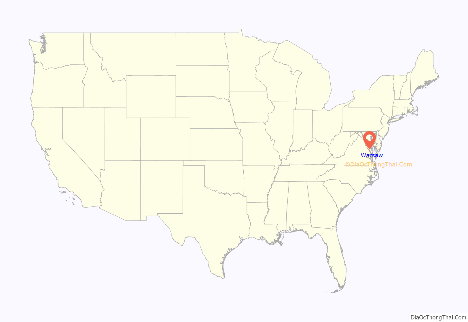
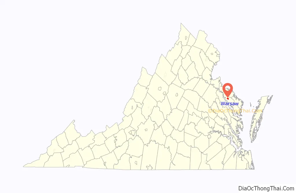
Warsaw location map. Where is Warsaw town?
History
The original name of the Town was Richmond Courthouse. In 1831 the Town’s name was changed to Warsaw, after the news of the bloody Battle of Warsaw reached local residents. A number of other small towns in the United States changed their names to Warsaw at this time (Warsaw, Kentucky for instance), all as a result of sympathy in the United States for the November Uprising in Poland. Because Richmond Courthouse was still unincorporated in 1830, it is unclear who was responsible for the change of name to Warsaw. Historic sites nearby include Menokin, the former home of Francis Lightfoot Lee, Mount Airy and Sabine Hall. A former plantation estate Belle Mount is currently operated as a vineyard and winery within a few miles of Warsaw town limits.
In addition to Menokin, Mount Airy, and Sabine Hall, Grove Mount and the Richmond County Courthouse are listed on the National Register of Historic Places. The formerly listed Bladensfield was destroyed by fire in 1996.
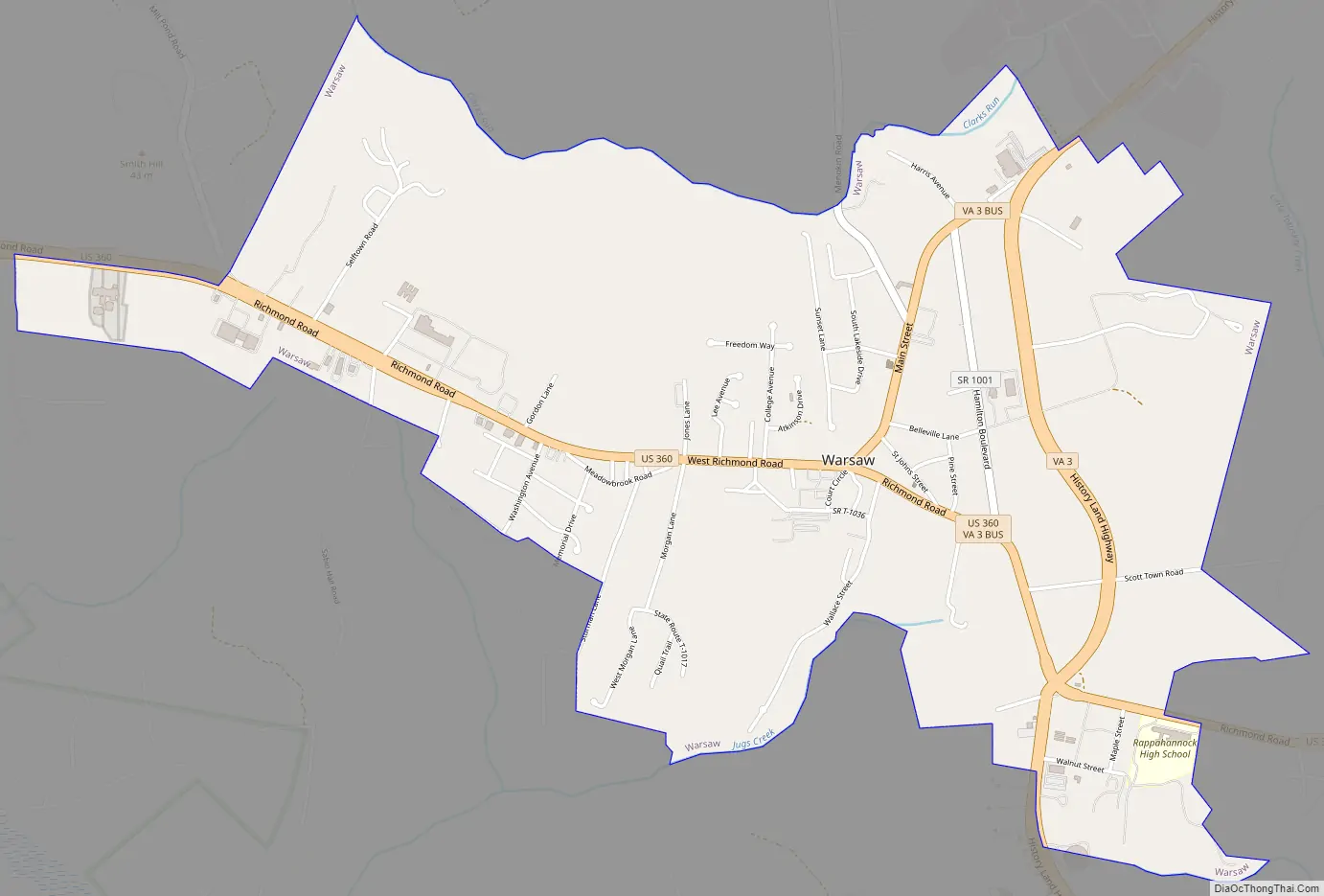
Warsaw Road Map
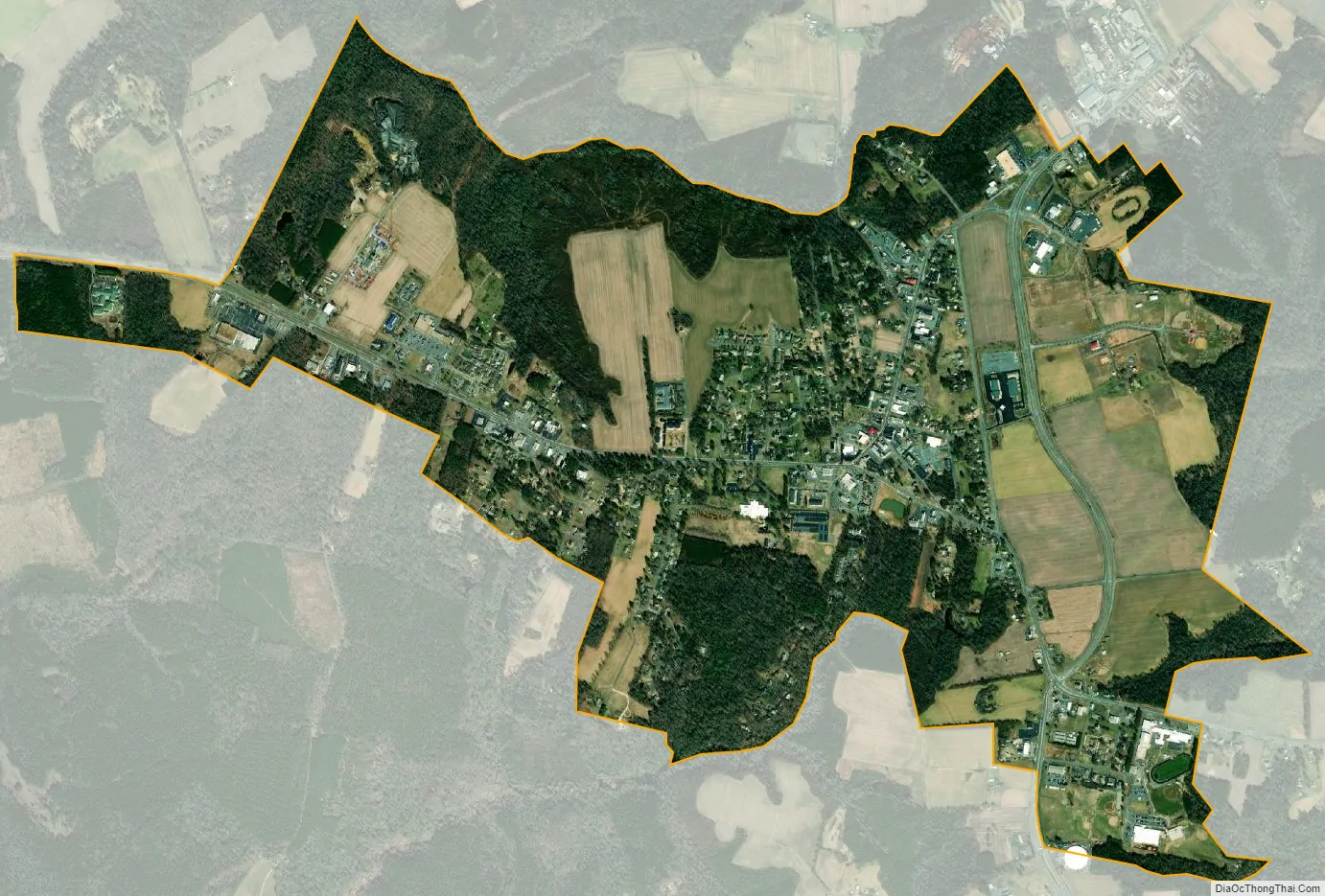
Warsaw city Satellite Map
Geography
Warsaw is located at 37°57′27″N 76°45′30″W / 37.95750°N 76.75833°W / 37.95750; -76.75833 (37.957617, −76.758302).
According to the United States Census Bureau, the town has a total area of 3.0 square miles (7.9 km), all of it land.
Climate
The climate in this area is characterized by hot, humid summers and generally mild to cool winters. According to the Köppen Climate Classification system, Warsaw has a humid subtropical climate, abbreviated “Cfa” on climate maps.
See also
Map of Virginia State and its subdivision:- Accomack
- Albemarle
- Alexandria
- Alleghany
- Amelia
- Amherst
- Appomattox
- Arlington
- Augusta
- Bath
- Bedford
- Bedford City
- Bland
- Botetourt
- Bristol
- Brunswick
- Buchanan
- Buckingham
- Buena Vista
- Campbell
- Caroline
- Carroll
- Charles City
- Charlotte
- Charlottesville
- Chesapeake
- Chesterfield
- Clarke
- Clifton Forge City
- Colonial Heights
- Covington
- Craig
- Culpeper
- Cumberland
- Danville
- Dickenson
- Dinwiddie
- Emporia
- Essex
- Fairfax
- Fairfax City
- Falls Church
- Fauquier
- Floyd
- Fluvanna
- Franklin
- Frederick
- Fredericksburg
- Galax
- Giles
- Gloucester
- Goochland
- Grayson
- Greene
- Greensville
- Halifax
- Hampton
- Hanover
- Harrisonburg
- Henrico
- Henry
- Highland
- Hopewell
- Isle of Wight
- James City
- King and Queen
- King George
- King William
- Lancaster
- Lee
- Lexington
- Loudoun
- Louisa
- Lunenburg
- Lynchburg
- Madison
- Manassas
- Manassas Park
- Martinsville
- Mathews
- Mecklenburg
- Middlesex
- Montgomery
- Nelson
- New Kent
- Newport News
- Norfolk
- Northampton
- Northumberland
- Norton
- Nottoway
- Orange
- Page
- Patrick
- Petersburg
- Pittsylvania
- Poquoson
- Portsmouth
- Powhatan
- Prince Edward
- Prince George
- Prince William
- Pulaski
- Radford
- Rappahannock
- Richmond
- Roanoke
- Roanoke City
- Rockbridge
- Rockingham
- Russell
- Salem
- Scott
- Shenandoah
- Smyth
- Southampton
- Spotsylvania
- Stafford
- Staunton
- Suffolk
- Surry
- Sussex
- Tazewell
- Virginia Beach
- Warren
- Washington
- Waynesboro
- Westmoreland
- Williamsburg
- Winchester
- Wise
- Wythe
- York
- Alabama
- Alaska
- Arizona
- Arkansas
- California
- Colorado
- Connecticut
- Delaware
- District of Columbia
- Florida
- Georgia
- Hawaii
- Idaho
- Illinois
- Indiana
- Iowa
- Kansas
- Kentucky
- Louisiana
- Maine
- Maryland
- Massachusetts
- Michigan
- Minnesota
- Mississippi
- Missouri
- Montana
- Nebraska
- Nevada
- New Hampshire
- New Jersey
- New Mexico
- New York
- North Carolina
- North Dakota
- Ohio
- Oklahoma
- Oregon
- Pennsylvania
- Rhode Island
- South Carolina
- South Dakota
- Tennessee
- Texas
- Utah
- Vermont
- Virginia
- Washington
- West Virginia
- Wisconsin
- Wyoming