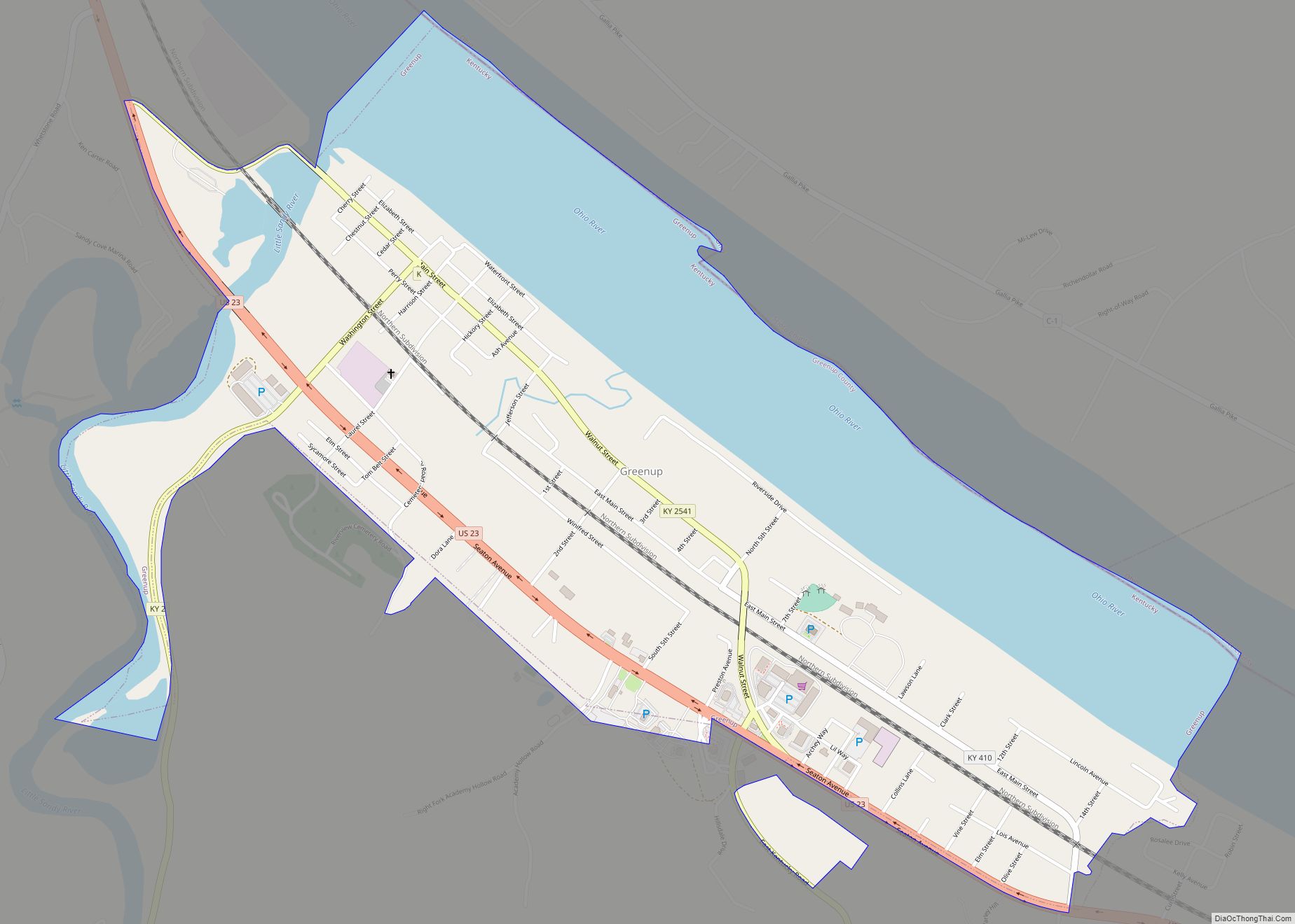
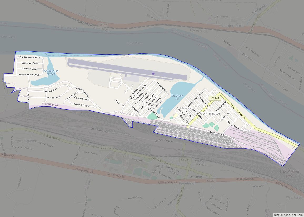
Worthington is a home rule-class city on the south bank of the Ohio River in Greenup County, Kentucky, in the United States. The population was 1,609 as of the 2010 U.S. census.
Worthington is a part of the Huntington-Ashland-Ironton metropolitan area. As of the 2010 census, the MSA had a population of 287,702.
| Name: | Worthington city |
|---|---|
| LSAD Code: | 25 |
| LSAD Description: | city (suffix) |
| State: | Kentucky |
| County: | Greenup County |
| Incorporated: | February 5, 1920 |
| Elevation: | 561 ft (171 m) |
| Total Area: | 1.25 sq mi (3.23 km²) |
| Land Area: | 1.14 sq mi (2.94 km²) |
| Water Area: | 0.11 sq mi (0.29 km²) |
| Total Population: | 1,501 |
| Population Density: | 1,321.30/sq mi (510.17/km²) |
| ZIP code: | 41183 |
| Area code: | 606 |
| FIPS code: | 2184864 |
| GNISfeature ID: | 0507152 |
| Website: | www.worthingtonky.org |
Online Interactive Map
Click on ![]() to view map in "full screen" mode.
to view map in "full screen" mode.
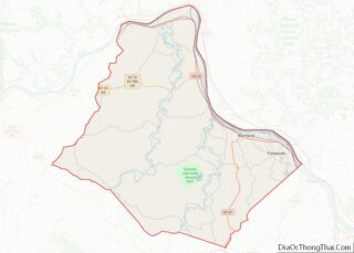
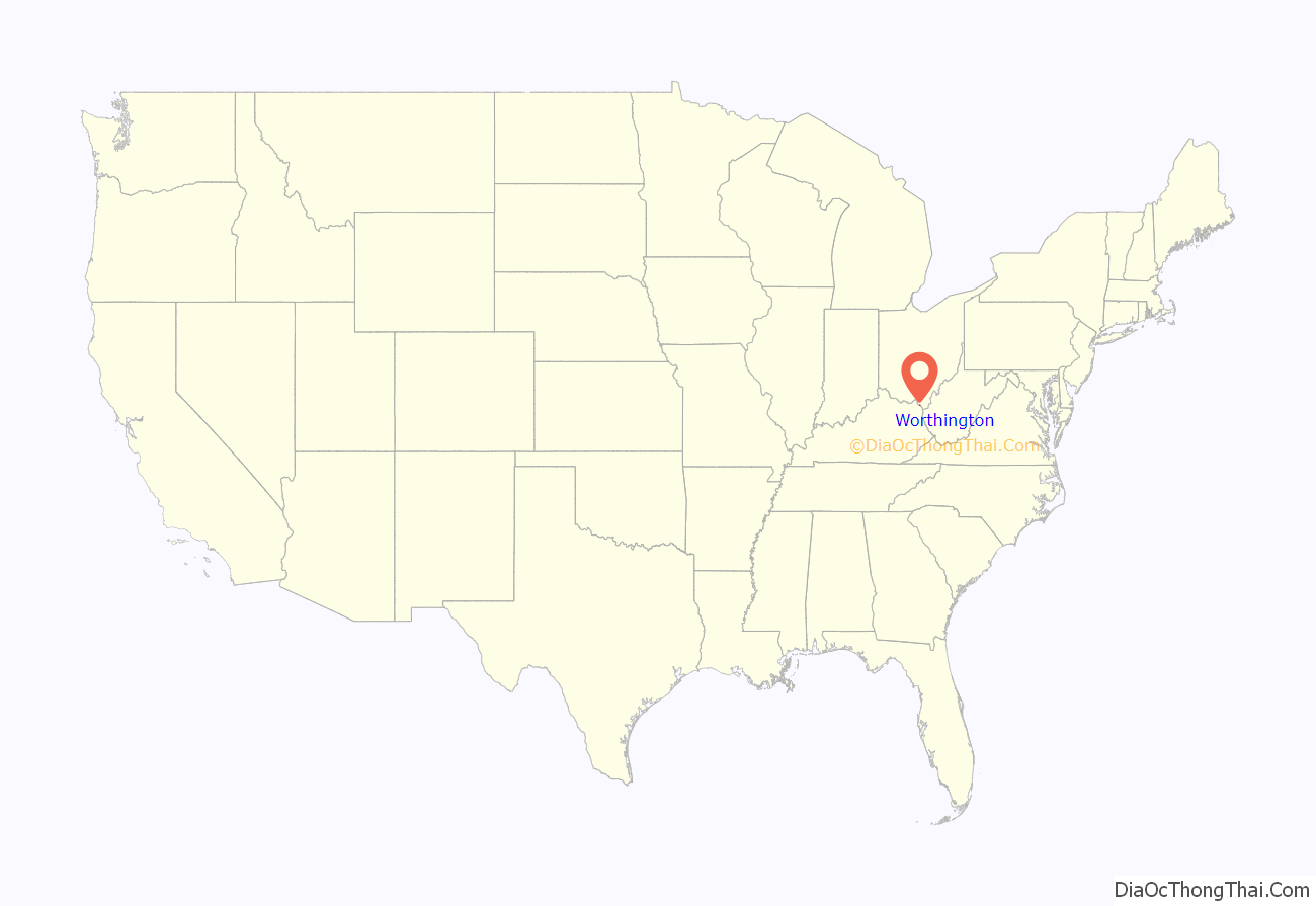
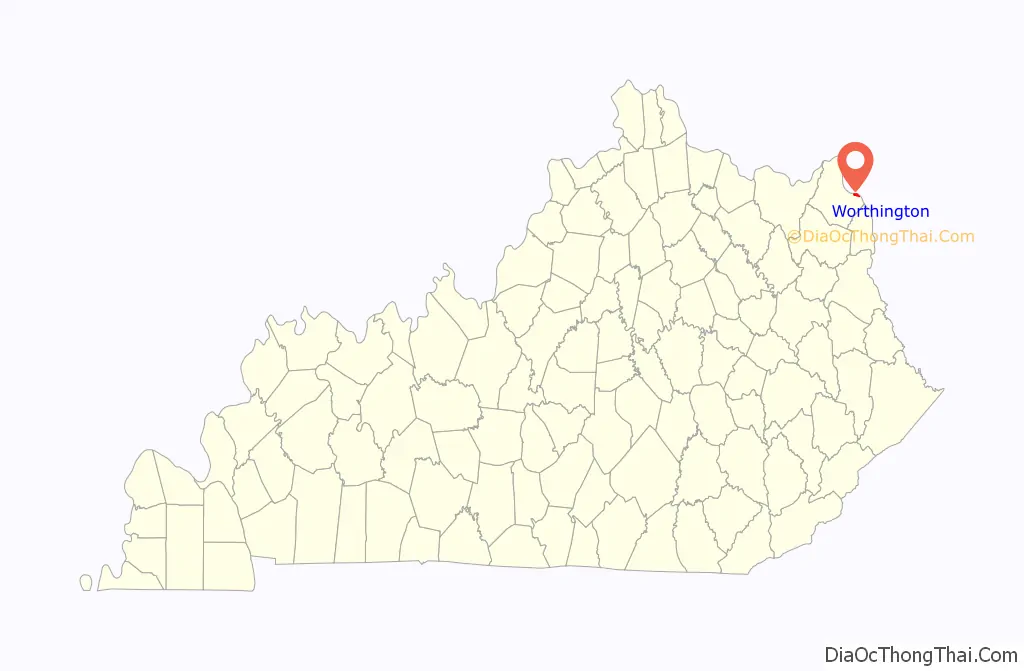
Worthington location map. Where is Worthington city?
History
The site of the present city was once owned by Abraham Buford, who sold the land to the Means and Russell Iron Company. This company sold the land to W. J. Worthington, who was William O. Bradley’s lieutenant governor from 1895 to 1899. After his death, the property was given to his daughters, who founded the present town and named it for their father.
Worthington was incorporated as a city by the Kentucky General Assembly on February 5, 1920.
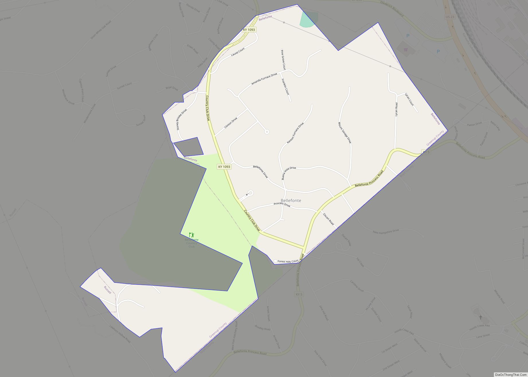
Worthington Road Map
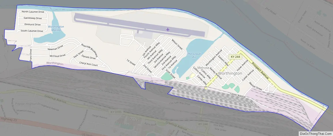
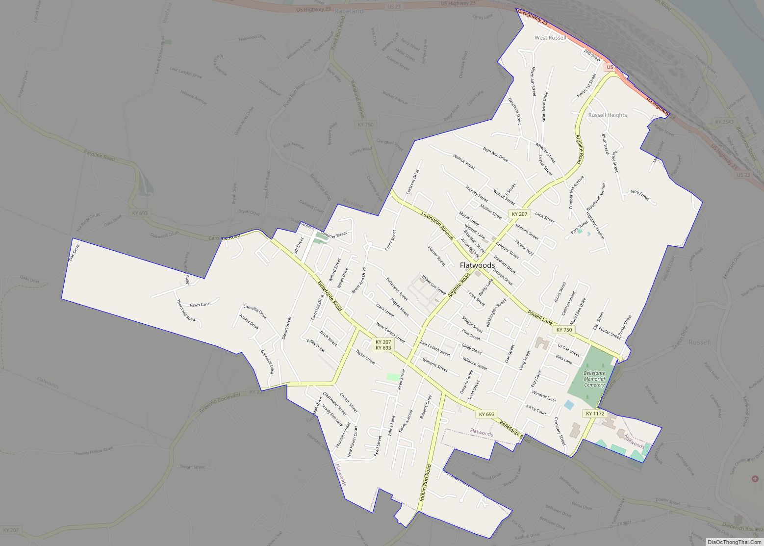
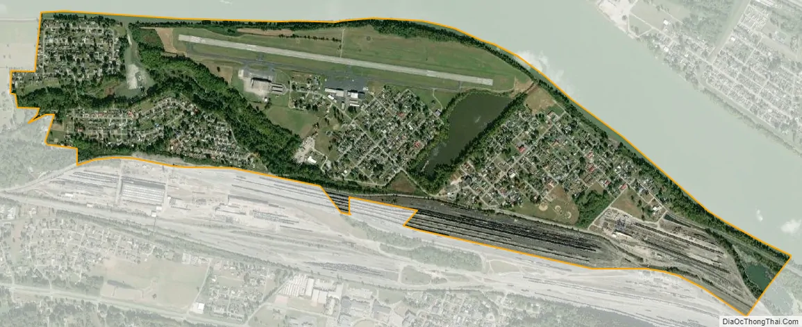
Worthington city Satellite Map
Geography
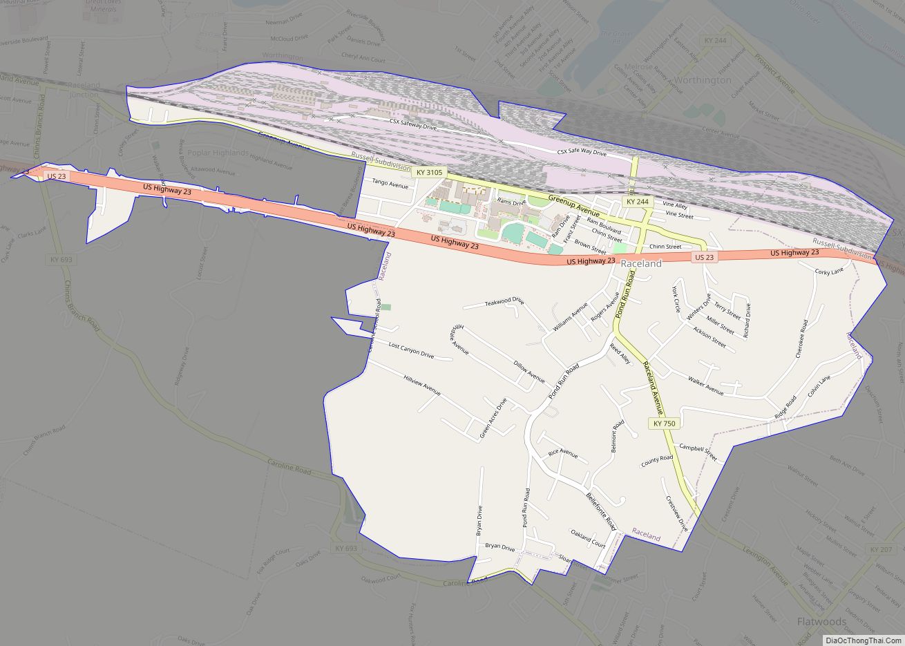
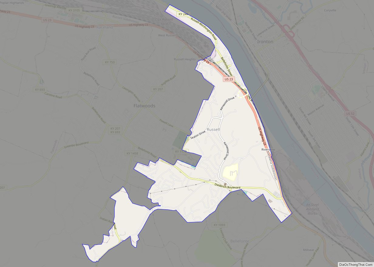
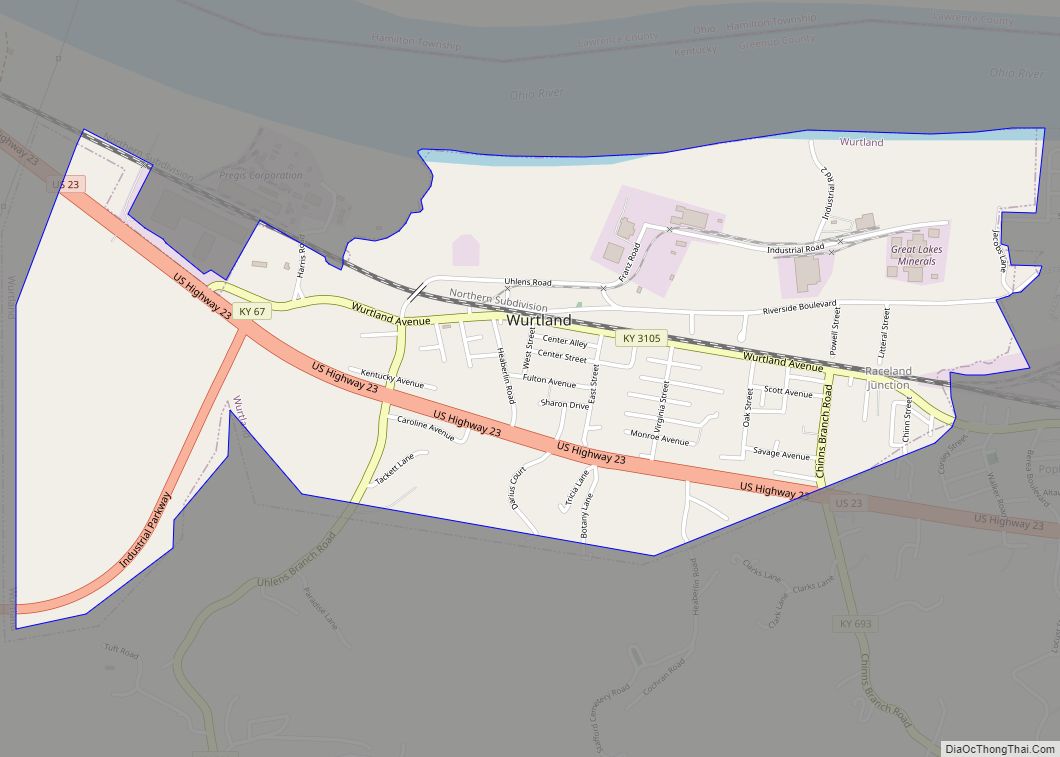
Worthington is located in eastern Greenup County at 38°33′2″N 82°44′5″W / 38.55056°N 82.73472°W / 38.55056; -82.73472 (38.550616, -82.734694), on the south bank of the Ohio River. It is bordered to the west by Wurtland, to the south by Raceland, and to the east by Russell. Directly across the river is the village of Hanging Rock, Ohio, but the closest river crossing is the Oakley C. Collins Memorial Bridge 3 miles (5 km) to the southeast, connecting Russell with Ironton, Ohio.
According to the United States Census Bureau, the city of Worthington has a total area of 1.2 square miles (3.1 km), of which 1.1 square miles (2.9 km) is land and 0.1 square miles (0.2 km), or 7.03%, is water.
See also
Map of Kentucky State and its subdivision:- Adair
- Allen
- Anderson
- Ballard
- Barren
- Bath
- Bell
- Boone
- Bourbon
- Boyd
- Boyle
- Bracken
- Breathitt
- Breckinridge
- Bullitt
- Butler
- Caldwell
- Calloway
- Campbell
- Carlisle
- Carroll
- Carter
- Casey
- Christian
- Clark
- Clay
- Clinton
- Crittenden
- Cumberland
- Daviess
- Edmonson
- Elliott
- Estill
- Fayette
- Fleming
- Floyd
- Franklin
- Fulton
- Gallatin
- Garrard
- Grant
- Graves
- Grayson
- Green
- Greenup
- Hancock
- Hardin
- Harlan
- Harrison
- Hart
- Henderson
- Henry
- Hickman
- Hopkins
- Jackson
- Jefferson
- Jessamine
- Johnson
- Kenton
- Knott
- Knox
- Larue
- Laurel
- Lawrence
- Lee
- Leslie
- Letcher
- Lewis
- Lincoln
- Livingston
- Logan
- Lyon
- Madison
- Magoffin
- Marion
- Marshall
- Martin
- Mason
- McCracken
- McCreary
- McLean
- Meade
- Menifee
- Mercer
- Metcalfe
- Monroe
- Montgomery
- Morgan
- Muhlenberg
- Nelson
- Nicholas
- Ohio
- Oldham
- Owen
- Owsley
- Pendleton
- Perry
- Pike
- Powell
- Pulaski
- Robertson
- Rockcastle
- Rowan
- Russell
- Scott
- Shelby
- Simpson
- Spencer
- Taylor
- Todd
- Trigg
- Trimble
- Union
- Warren
- Washington
- Wayne
- Webster
- Whitley
- Wolfe
- Woodford
- Alabama
- Alaska
- Arizona
- Arkansas
- California
- Colorado
- Connecticut
- Delaware
- District of Columbia
- Florida
- Georgia
- Hawaii
- Idaho
- Illinois
- Indiana
- Iowa
- Kansas
- Kentucky
- Louisiana
- Maine
- Maryland
- Massachusetts
- Michigan
- Minnesota
- Mississippi
- Missouri
- Montana
- Nebraska
- Nevada
- New Hampshire
- New Jersey
- New Mexico
- New York
- North Carolina
- North Dakota
- Ohio
- Oklahoma
- Oregon
- Pennsylvania
- Rhode Island
- South Carolina
- South Dakota
- Tennessee
- Texas
- Utah
- Vermont
- Virginia
- Washington
- West Virginia
- Wisconsin
- Wyoming