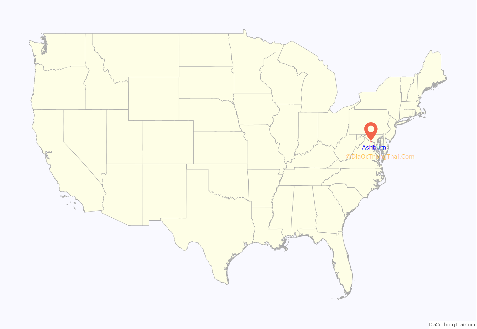
Ashburn is a census-designated place (CDP) in Loudoun County, Virginia, United States. At the 2010 United States Census, its population was 43,511, up from 3,393 twenty years earlier. It is 30 miles (48 km) northwest of Washington, D.C., and part of the Washington metropolitan area.
Ashburn is a major hub for Internet traffic, due to its many data centers. Andrew Blum characterized it as the “bullseye of America’s Internet”.
| Name: | Ashburn CDP |
|---|---|
| LSAD Code: | 57 |
| LSAD Description: | CDP (suffix) |
| State: | Virginia |
| County: | Loudoun County |
| Elevation: | 295 ft (90 m) |
| Total Area: | 15.55 sq mi (40.3 km²) |
| Land Area: | 15.30 sq mi (39.6 km²) |
| Water Area: | 0.25 sq mi (0.6 km²) |
| Total Population: | 43,511 |
| Population Density: | 3,259.1/sq mi (1,258.3/km²) |
| ZIP code: | 20146, 20147, 20148, 20149 |
| FIPS code: | 5103320 |
| GNISfeature ID: | 2584799 |
Online Interactive Map
Click on ![]() to view map in "full screen" mode.
to view map in "full screen" mode.
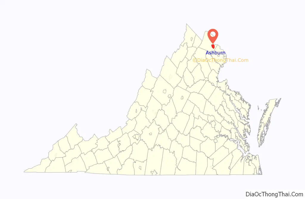
Ashburn location map. Where is Ashburn CDP?
History
Ashburn was originally called “Farmwell” (variant names include “Old Farmwell” and “Farmwell Station”) after a nearby mansion of that name owned by George Lee III. The name “Farmwell” first appeared in George Lee’s October 1802 will and was used to describe the 1,236-acre (500 ha) plantation he inherited from his father, Thomas Ludwell Lee II. A section of Farmwell plantation west of Ashburn Road, a 580-acre (230 ha) tract, was purchased in 1841 as a summer home by John Janney, a Quaker lawyer who nearly became Vice President of the United States. Janney called the property “Ashburn Farm”; the name’s first known appearance in writing is 1870 when he sold the property. It is likely he named the farm after family friends whose name was Ashburn.
The Ashburn Presbyterian Church, the Belmont Manor House, the Broad Run Bridge and Tollhouse, and Janelia Farm are listed on the National Register of Historic Places.
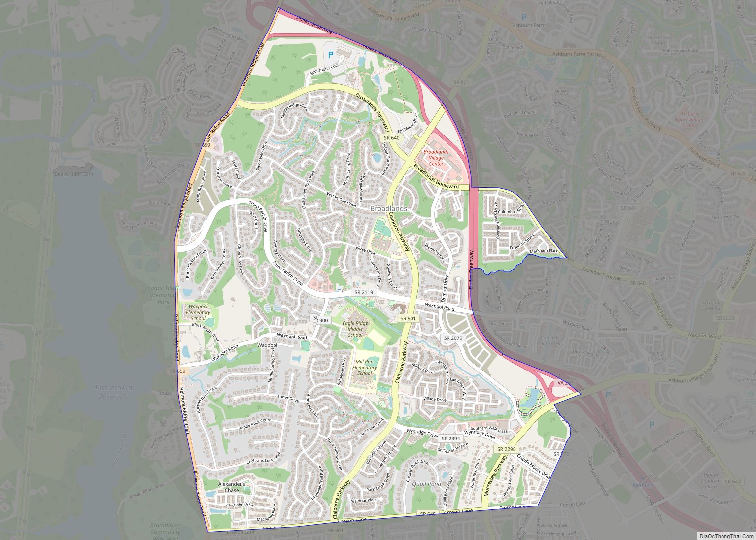
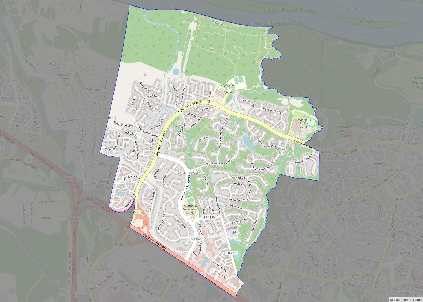
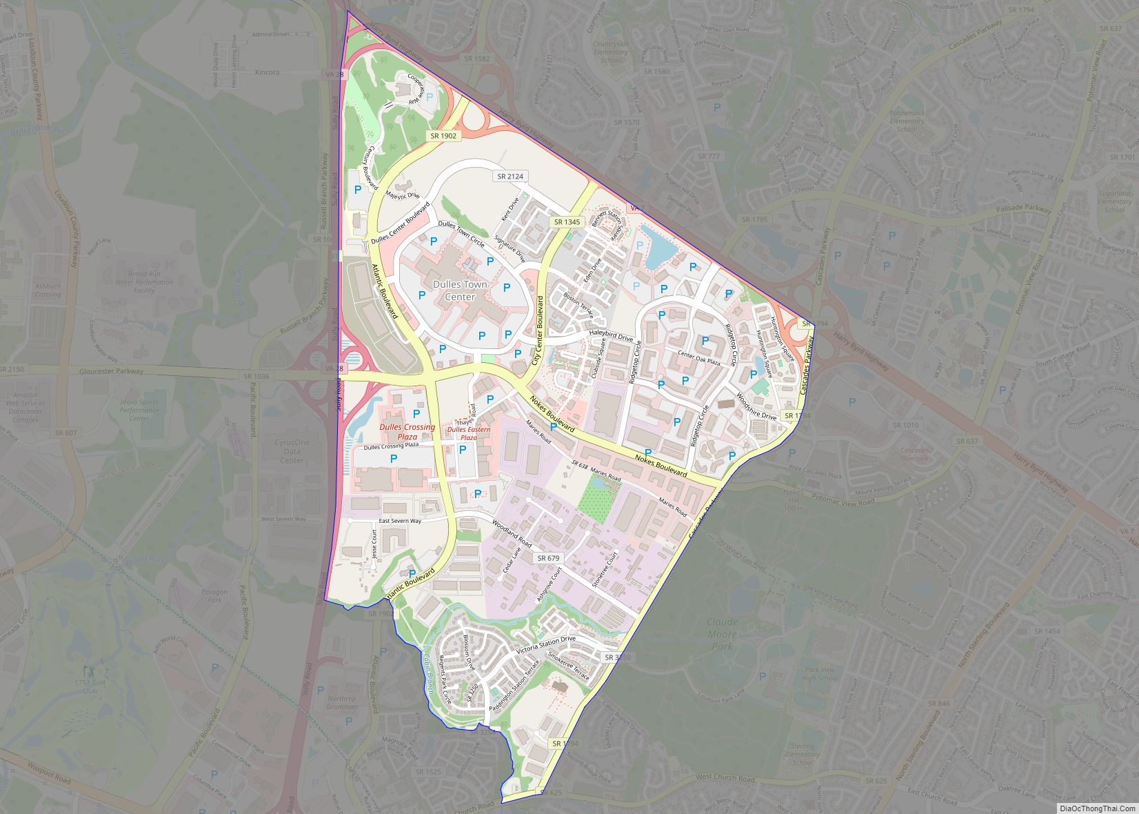
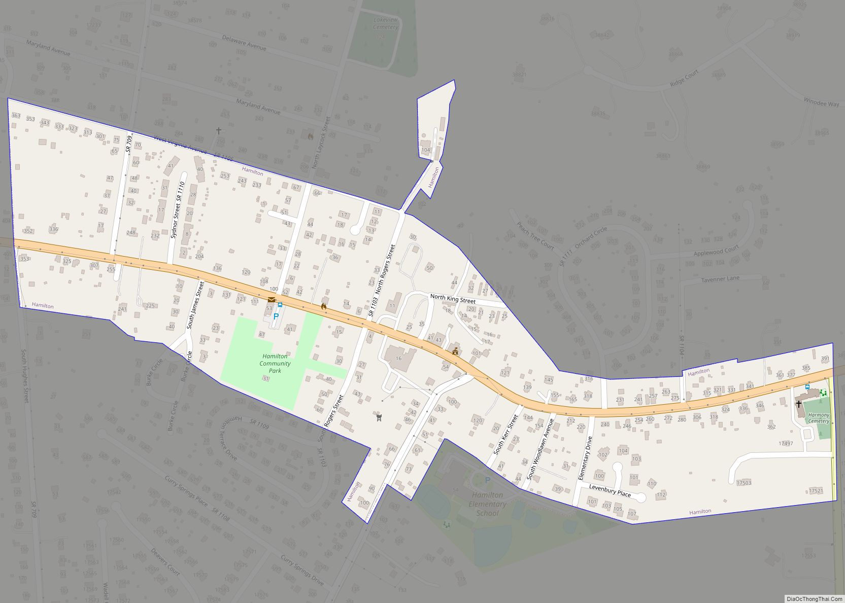
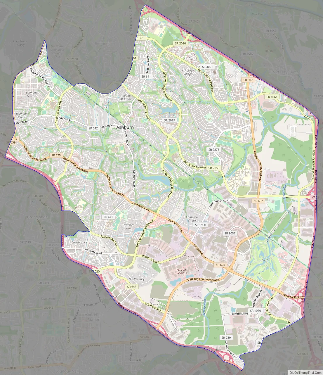
Ashburn Road Map
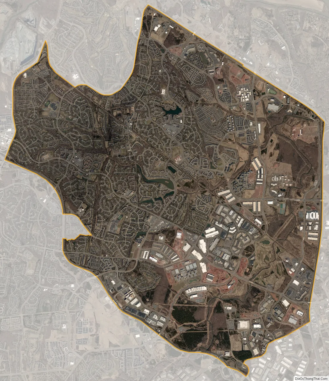
Ashburn city Satellite Map
Geography
Ashburn is located in eastern Loudoun County at 39°02′37″N 077°29′15″W / 39.04361°N 77.48750°W / 39.04361; -77.48750 (39.0437192, −77.4874899) and its average elevation is 295 feet (90 m) above sea level. It is 7 miles (11 km) southeast of Leesburg, the county seat, and the same distance north of Dulles International Airport. As drawn by the U.S. Census Bureau, the area counted as “Ashburn” extends north to Virginia State Route 7, east to Virginia State Route 28, and southwest to the Dulles Greenway (VA 267). The Ashburn CDP is bordered to the north by the Belmont, Lansdowne, One Loudoun, and University Center CDPs; to the east by the Kincora, Dulles Town Center, and Sterling CDPs; to the southwest by the Moorefield and Broadlands CDPs; and to the west by the Goose Creek Village CDP.
According to the 2010 United States Census, the Ashburn CDP has a total area of 15.55 square miles (40.27 km), of which 15.30 square miles (39.63 km) are land and 0.25 square miles (0.65 km) are water. The area is drained by Broad Run, which flows northward through the eastern part of the CDP toward the Potomac River.
Subdivisions
The Ashburn CDP consists of many major and minor subdivisions such as Ashbrook, Ashburn Farm, Ashburn Village, the Courts and Ridges at Ashburn, and the Village of Waxpool.
See also
Map of Virginia State and its subdivision:- Accomack
- Albemarle
- Alexandria
- Alleghany
- Amelia
- Amherst
- Appomattox
- Arlington
- Augusta
- Bath
- Bedford
- Bedford City
- Bland
- Botetourt
- Bristol
- Brunswick
- Buchanan
- Buckingham
- Buena Vista
- Campbell
- Caroline
- Carroll
- Charles City
- Charlotte
- Charlottesville
- Chesapeake
- Chesterfield
- Clarke
- Clifton Forge City
- Colonial Heights
- Covington
- Craig
- Culpeper
- Cumberland
- Danville
- Dickenson
- Dinwiddie
- Emporia
- Essex
- Fairfax
- Fairfax City
- Falls Church
- Fauquier
- Floyd
- Fluvanna
- Franklin
- Frederick
- Fredericksburg
- Galax
- Giles
- Gloucester
- Goochland
- Grayson
- Greene
- Greensville
- Halifax
- Hampton
- Hanover
- Harrisonburg
- Henrico
- Henry
- Highland
- Hopewell
- Isle of Wight
- James City
- King and Queen
- King George
- King William
- Lancaster
- Lee
- Lexington
- Loudoun
- Louisa
- Lunenburg
- Lynchburg
- Madison
- Manassas
- Manassas Park
- Martinsville
- Mathews
- Mecklenburg
- Middlesex
- Montgomery
- Nelson
- New Kent
- Newport News
- Norfolk
- Northampton
- Northumberland
- Norton
- Nottoway
- Orange
- Page
- Patrick
- Petersburg
- Pittsylvania
- Poquoson
- Portsmouth
- Powhatan
- Prince Edward
- Prince George
- Prince William
- Pulaski
- Radford
- Rappahannock
- Richmond
- Roanoke
- Roanoke City
- Rockbridge
- Rockingham
- Russell
- Salem
- Scott
- Shenandoah
- Smyth
- Southampton
- Spotsylvania
- Stafford
- Staunton
- Suffolk
- Surry
- Sussex
- Tazewell
- Virginia Beach
- Warren
- Washington
- Waynesboro
- Westmoreland
- Williamsburg
- Winchester
- Wise
- Wythe
- York
- Alabama
- Alaska
- Arizona
- Arkansas
- California
- Colorado
- Connecticut
- Delaware
- District of Columbia
- Florida
- Georgia
- Hawaii
- Idaho
- Illinois
- Indiana
- Iowa
- Kansas
- Kentucky
- Louisiana
- Maine
- Maryland
- Massachusetts
- Michigan
- Minnesota
- Mississippi
- Missouri
- Montana
- Nebraska
- Nevada
- New Hampshire
- New Jersey
- New Mexico
- New York
- North Carolina
- North Dakota
- Ohio
- Oklahoma
- Oregon
- Pennsylvania
- Rhode Island
- South Carolina
- South Dakota
- Tennessee
- Texas
- Utah
- Vermont
- Virginia
- Washington
- West Virginia
- Wisconsin
- Wyoming