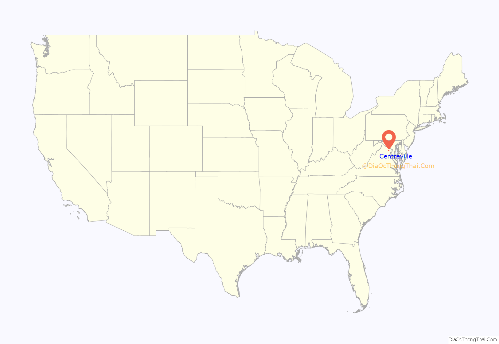
Centreville is a census-designated place (CDP) in Fairfax County, Virginia, United States and a suburb of Washington, D.C. The population was 73,518 as of the 2020 census. Centreville is approximately 20 miles (32 km) west of Washington, D.C.
| Name: | Centreville CDP |
|---|---|
| LSAD Code: | 57 |
| LSAD Description: | CDP (suffix) |
| State: | Virginia |
| County: | Fairfax County |
| Elevation: | 384 ft (117 m) |
| Land Area: | 11.94 sq mi (30.9 km²) |
| Water Area: | .11 sq mi (0.3 km²) |
| Population Density: | 6,157/sq mi (2,377/km²) |
| ZIP code: | 20120-20122 |
| Area code: | 703, 571 |
| FIPS code: | 5114440 |
| GNISfeature ID: | 1491083 |
Online Interactive Map
Click on ![]() to view map in "full screen" mode.
to view map in "full screen" mode.
Centreville location map. Where is Centreville CDP?
History
Colonial period
Beginning in the 1760s, the area was known as Newgate due to the popularity of the conveniently located Newgate tavern. William Carr Lane operated the tavern and was co-proprietor of a nearby store with James Lane, Jr. The Lanes sold convicted servants, which may explain why the tavern had the same name as a London prison. The small stream that passed near the tavern was named the River Thames, another London association. Another reason for it being named Newgate, was the fact that it was a “new gate” to the western territories.
Federal period
The town of Centerville (shortly thereafter spelled Centreville) was established in 1792 on the turnpike road at the village of Newgate by the Virginia General Assembly in response to petitions by local landowners. The petitioners reasoned that a town on the turnpike road leading from the Northwest Territory and centrally located to Alexandria, Colchester, Dumfries, Middleburg, George Town (later Georgetown), Fauquier Court House (later Warrenton), and Leesburg would be convenient. The town acquired its name due to its central location. James Hardage Lane, one of the landowners, conceived the idea of the town as a way to provide financial support to his widow and their children. At the town’s inception, it was within the boundary of Loudoun County, Virginia, and became part of Fairfax County, Virginia, in 1798 when the boundary between the two counties shifted.
Town development established a pattern of mixed residential and commercial use. Frame houses, several taverns, stores, blacksmith shops, tanyards, and a school house were constructed on the 1/2-acre town lots.
American Civil War
In the American Civil War, several battles were fought nearby including the First Battle of Manassas, the Second Battle of Manassas, and the Battle of Chantilly. During the winter of 1861 and early 1862 the town was significantly fortified by the Confederacy and served as a supply depot for both sides at various points in the war, and is famous for being the site of the construction of the first railroad ever built exclusively for military use, the Centreville Military Railroad. Centreville was of significant strategic value due to its proximity to several important roads, while its position atop a high ridge provided a commanding view of the surrounding area. The town was frequently associated with Confederate Colonel John S. Mosby, whose partisan rangers used its hillsides and farms as a base of operations, leading to the sobriquet “Mosby’s Confederacy”.
Modern
In 1943, Centreville was a small town. As in much of Northern Virginia, Centreville experienced sustained population growth in the 1990s and 2000s. In 2021, the town has grown significantly. There are numerous shopping centers built around the town center.
Centreville Road Map
Centreville city Satellite Map
Geography
Centreville is located at 38°50′33″N 77°26′33″W / 38.84250°N 77.44250°W / 38.84250; -77.44250 (38.842470, −77.442621).
According to the United States Census Bureau (2010), the CDP has a total area of 12.04 square miles (31.2 km), 99% of it land.
See also
Map of Virginia State and its subdivision:- Accomack
- Albemarle
- Alexandria
- Alleghany
- Amelia
- Amherst
- Appomattox
- Arlington
- Augusta
- Bath
- Bedford
- Bedford City
- Bland
- Botetourt
- Bristol
- Brunswick
- Buchanan
- Buckingham
- Buena Vista
- Campbell
- Caroline
- Carroll
- Charles City
- Charlotte
- Charlottesville
- Chesapeake
- Chesterfield
- Clarke
- Clifton Forge City
- Colonial Heights
- Covington
- Craig
- Culpeper
- Cumberland
- Danville
- Dickenson
- Dinwiddie
- Emporia
- Essex
- Fairfax
- Fairfax City
- Falls Church
- Fauquier
- Floyd
- Fluvanna
- Franklin
- Frederick
- Fredericksburg
- Galax
- Giles
- Gloucester
- Goochland
- Grayson
- Greene
- Greensville
- Halifax
- Hampton
- Hanover
- Harrisonburg
- Henrico
- Henry
- Highland
- Hopewell
- Isle of Wight
- James City
- King and Queen
- King George
- King William
- Lancaster
- Lee
- Lexington
- Loudoun
- Louisa
- Lunenburg
- Lynchburg
- Madison
- Manassas
- Manassas Park
- Martinsville
- Mathews
- Mecklenburg
- Middlesex
- Montgomery
- Nelson
- New Kent
- Newport News
- Norfolk
- Northampton
- Northumberland
- Norton
- Nottoway
- Orange
- Page
- Patrick
- Petersburg
- Pittsylvania
- Poquoson
- Portsmouth
- Powhatan
- Prince Edward
- Prince George
- Prince William
- Pulaski
- Radford
- Rappahannock
- Richmond
- Roanoke
- Roanoke City
- Rockbridge
- Rockingham
- Russell
- Salem
- Scott
- Shenandoah
- Smyth
- Southampton
- Spotsylvania
- Stafford
- Staunton
- Suffolk
- Surry
- Sussex
- Tazewell
- Virginia Beach
- Warren
- Washington
- Waynesboro
- Westmoreland
- Williamsburg
- Winchester
- Wise
- Wythe
- York
- Alabama
- Alaska
- Arizona
- Arkansas
- California
- Colorado
- Connecticut
- Delaware
- District of Columbia
- Florida
- Georgia
- Hawaii
- Idaho
- Illinois
- Indiana
- Iowa
- Kansas
- Kentucky
- Louisiana
- Maine
- Maryland
- Massachusetts
- Michigan
- Minnesota
- Mississippi
- Missouri
- Montana
- Nebraska
- Nevada
- New Hampshire
- New Jersey
- New Mexico
- New York
- North Carolina
- North Dakota
- Ohio
- Oklahoma
- Oregon
- Pennsylvania
- Rhode Island
- South Carolina
- South Dakota
- Tennessee
- Texas
- Utah
- Vermont
- Virginia
- Washington
- West Virginia
- Wisconsin
- Wyoming
