Middleburg is a town in Loudoun County, Virginia, United States, with a population of 673 as of the 2010 census. It is the southernmost town along Loudoun County’s shared border with Fauquier County.
Middleburg is known as the “Nation’s Horse and Hunt Capital” for its foxhunting, steeplechases, and large estates. The Middleburg Historic District, comprising the 19th-century center of town, is listed on the National Register of Historic Places.
| Name: | Middleburg town |
|---|---|
| LSAD Code: | 43 |
| LSAD Description: | town (suffix) |
| State: | Virginia |
| County: | Loudoun County |
| Elevation: | 486 ft (148 m) |
| Total Area: | 1.04 sq mi (2.70 km²) |
| Land Area: | 1.04 sq mi (2.69 km²) |
| Water Area: | 0.00 sq mi (0.01 km²) |
| Total Population: | 673 |
| Population Density: | 804.24/sq mi (310.49/km²) |
| ZIP code: | 20117–20118 |
| Area code: | 540 |
| FIPS code: | 5151448 |
| GNISfeature ID: | 1470422 |
| Website: | www.middleburgva.gov |
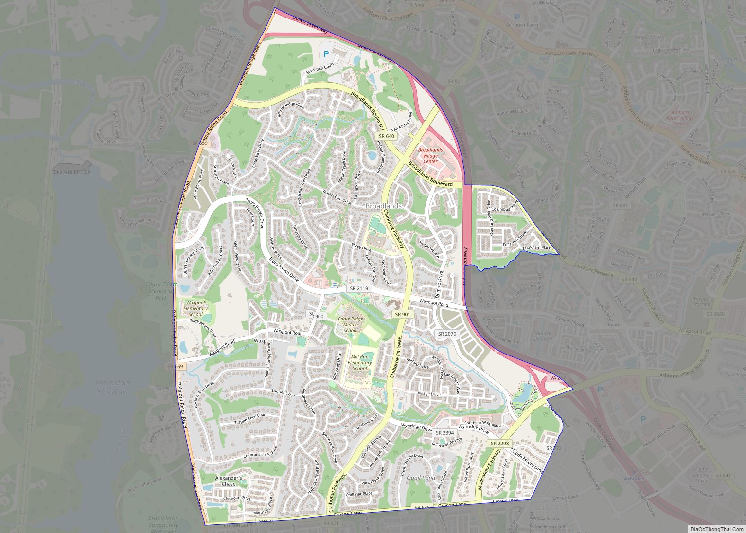
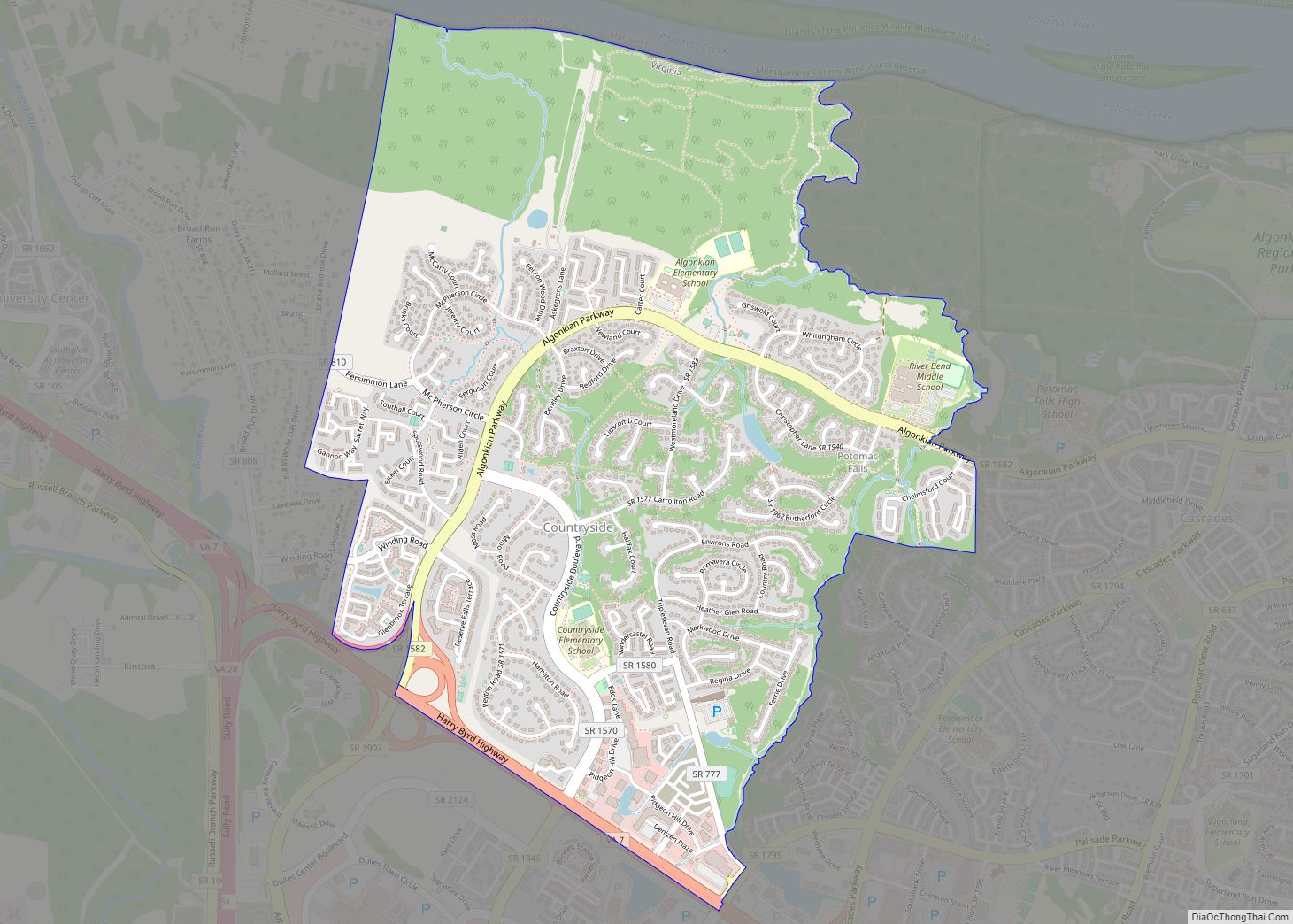
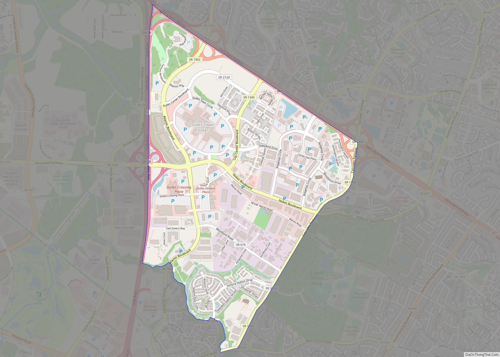
Online Interactive Map
Click on ![]() to view map in "full screen" mode.
to view map in "full screen" mode.
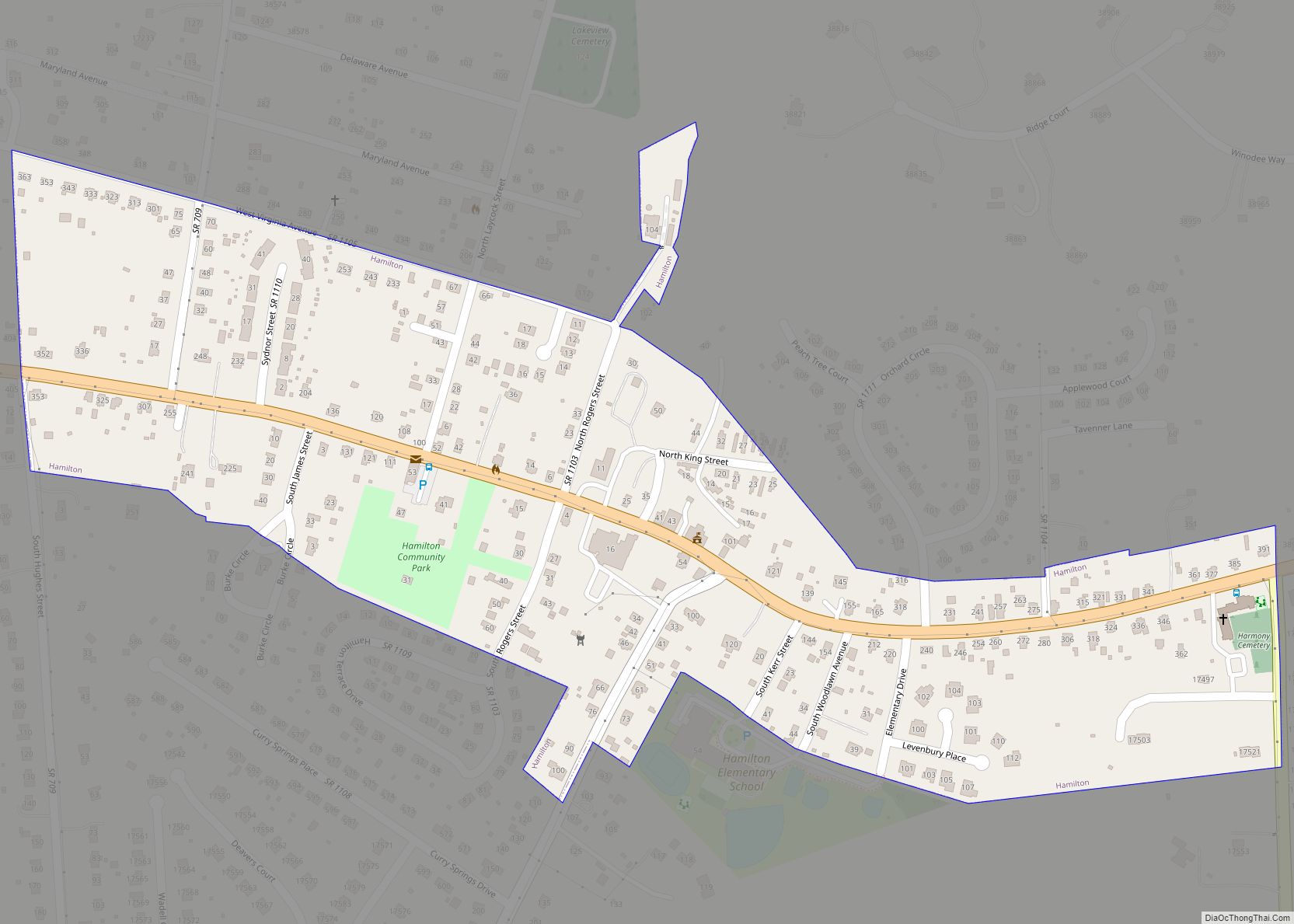
Middleburg location map. Where is Middleburg town?


History
The town was established in 1787 by American Revolutionary War Lieutenant Colonel and Virginia statesman, Leven Powell. He purchased the land for Middleburg at $2.50 per acre in 1763 from Joseph Chinn, a first cousin of George Washington. It had been called “Chinn’s Crossroads”, and was then called Powell Town. When Leven Powell declined to have the town named after him, the town was called Middleburgh, and later, simply Middleburg. The village is located midway between the port of Alexandria and Winchester, Virginia, on the Ashby Gap trading route (now followed by U.S. Route 50).
In 1863, Middleburg witnessed two skirmishes during the Gettysburg Campaign of the Civil War.
From the early 1900s, Middleburg began welcoming visitors who participated in foxhunting and steeplechasing. The village soon earned a reputation as the “Nation’s Horse and Hunt Capital”, attracting prominent visitors from across the U.S. Middleburg is the home of the 15,000-square-foot (1,400 m) National Sporting Library research center for horse and field sports, which publishes Thoroughbred Heritage on the Internet. A new addition is being made to include an art gallery and museum.
In 1961, activists of the Civil Rights Movement pressed John F. Kennedy on local segregation issues during his residency outside town. That year, he and Jackie had rented Glen Ora.
The Middleburg Historic District, comprising the 19th-century center of town, is listed on the National Register of Historic Places. The oldest building in town, the Red Fox Inn & Tavern, was originally established in 1728 by Joseph Chinn as Chinn’s Ordinary and is billed as the oldest continually operated inn in the U.S. The oldest known house still in use as a residence, “Middleburg House,” was built in 1779. Also listed on the National Register of Historic Places are Benton, the Burrland Farm Historic District, Green Pastures, Huntland, Mill House, Gen. William Mitchell House, Much Haddam, Unison Historic District, and Welbourne.
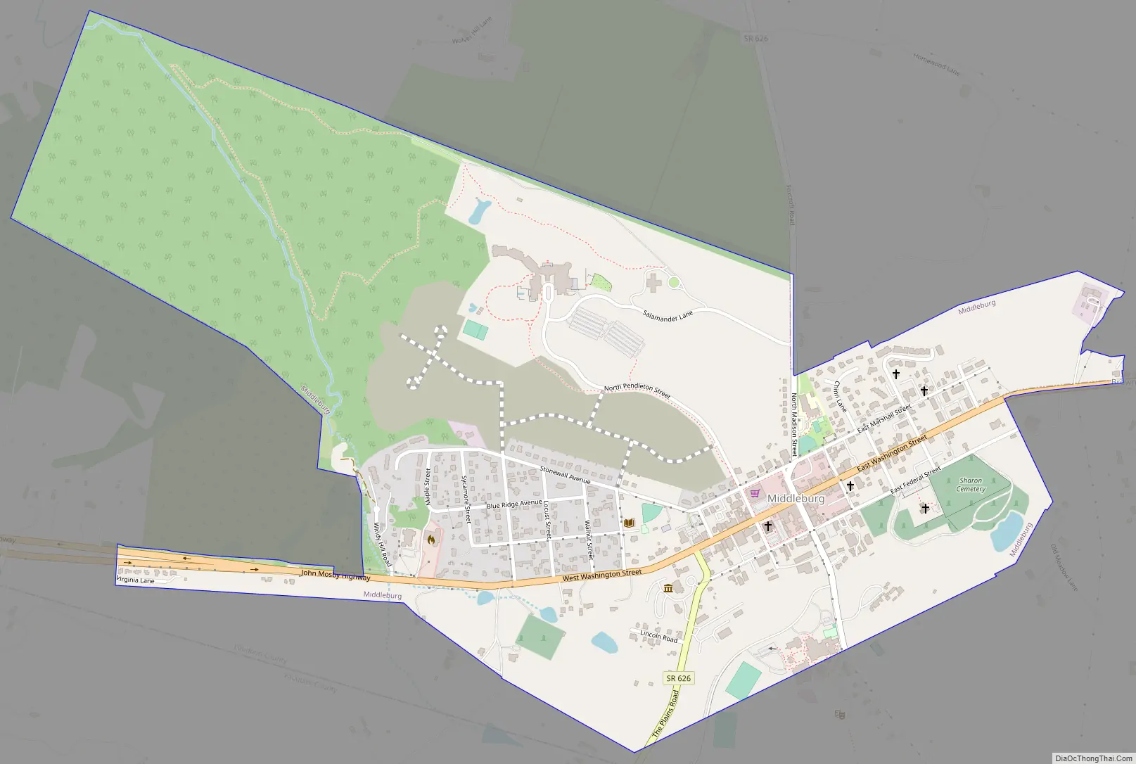
Middleburg Road Map
Middleburg city Satellite Map

Geography
According to the United States Census Bureau, the town has a total area of 0.6 square mile (1.5 km), all land. The elevation is 486 feet.
See also
Map of Virginia State and its subdivision:- Accomack
- Albemarle
- Alexandria
- Alleghany
- Amelia
- Amherst
- Appomattox
- Arlington
- Augusta
- Bath
- Bedford
- Bedford City
- Bland
- Botetourt
- Bristol
- Brunswick
- Buchanan
- Buckingham
- Buena Vista
- Campbell
- Caroline
- Carroll
- Charles City
- Charlotte
- Charlottesville
- Chesapeake
- Chesterfield
- Clarke
- Clifton Forge City
- Colonial Heights
- Covington
- Craig
- Culpeper
- Cumberland
- Danville
- Dickenson
- Dinwiddie
- Emporia
- Essex
- Fairfax
- Fairfax City
- Falls Church
- Fauquier
- Floyd
- Fluvanna
- Franklin
- Frederick
- Fredericksburg
- Galax
- Giles
- Gloucester
- Goochland
- Grayson
- Greene
- Greensville
- Halifax
- Hampton
- Hanover
- Harrisonburg
- Henrico
- Henry
- Highland
- Hopewell
- Isle of Wight
- James City
- King and Queen
- King George
- King William
- Lancaster
- Lee
- Lexington
- Loudoun
- Louisa
- Lunenburg
- Lynchburg
- Madison
- Manassas
- Manassas Park
- Martinsville
- Mathews
- Mecklenburg
- Middlesex
- Montgomery
- Nelson
- New Kent
- Newport News
- Norfolk
- Northampton
- Northumberland
- Norton
- Nottoway
- Orange
- Page
- Patrick
- Petersburg
- Pittsylvania
- Poquoson
- Portsmouth
- Powhatan
- Prince Edward
- Prince George
- Prince William
- Pulaski
- Radford
- Rappahannock
- Richmond
- Roanoke
- Roanoke City
- Rockbridge
- Rockingham
- Russell
- Salem
- Scott
- Shenandoah
- Smyth
- Southampton
- Spotsylvania
- Stafford
- Staunton
- Suffolk
- Surry
- Sussex
- Tazewell
- Virginia Beach
- Warren
- Washington
- Waynesboro
- Westmoreland
- Williamsburg
- Winchester
- Wise
- Wythe
- York
- Alabama
- Alaska
- Arizona
- Arkansas
- California
- Colorado
- Connecticut
- Delaware
- District of Columbia
- Florida
- Georgia
- Hawaii
- Idaho
- Illinois
- Indiana
- Iowa
- Kansas
- Kentucky
- Louisiana
- Maine
- Maryland
- Massachusetts
- Michigan
- Minnesota
- Mississippi
- Missouri
- Montana
- Nebraska
- Nevada
- New Hampshire
- New Jersey
- New Mexico
- New York
- North Carolina
- North Dakota
- Ohio
- Oklahoma
- Oregon
- Pennsylvania
- Rhode Island
- South Carolina
- South Dakota
- Tennessee
- Texas
- Utah
- Vermont
- Virginia
- Washington
- West Virginia
- Wisconsin
- Wyoming