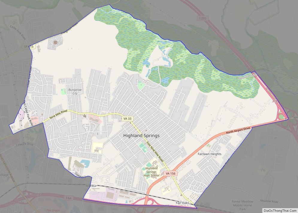
Highland Springs is a census-designated place (CDP) located in Henrico County, Virginia, United States, 4.3 miles (7 km) East of Richmond. The population was 16,604 at the 2020 census.
| Name: | Highland Springs CDP |
|---|---|
| LSAD Code: | 57 |
| LSAD Description: | CDP (suffix) |
| State: | Virginia |
| County: | Henrico County |
| Elevation: | 171 ft (52 m) |
| Total Area: | 8.3 sq mi (21.6 km²) |
| Land Area: | 8.0 sq mi (20.7 km²) |
| Water Area: | 0.3 sq mi (0.9 km²) |
| Total Population: | 16,604 |
| Population Density: | 2,000/sq mi (770/km²) |
| ZIP code: | 23075 |
| Area code: | 804 |
| FIPS code: | 5137032 |
| GNISfeature ID: | 1499559 |
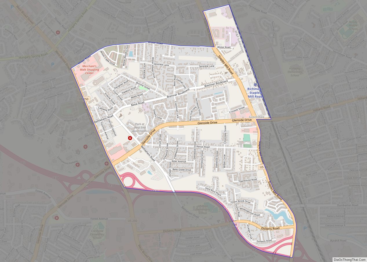
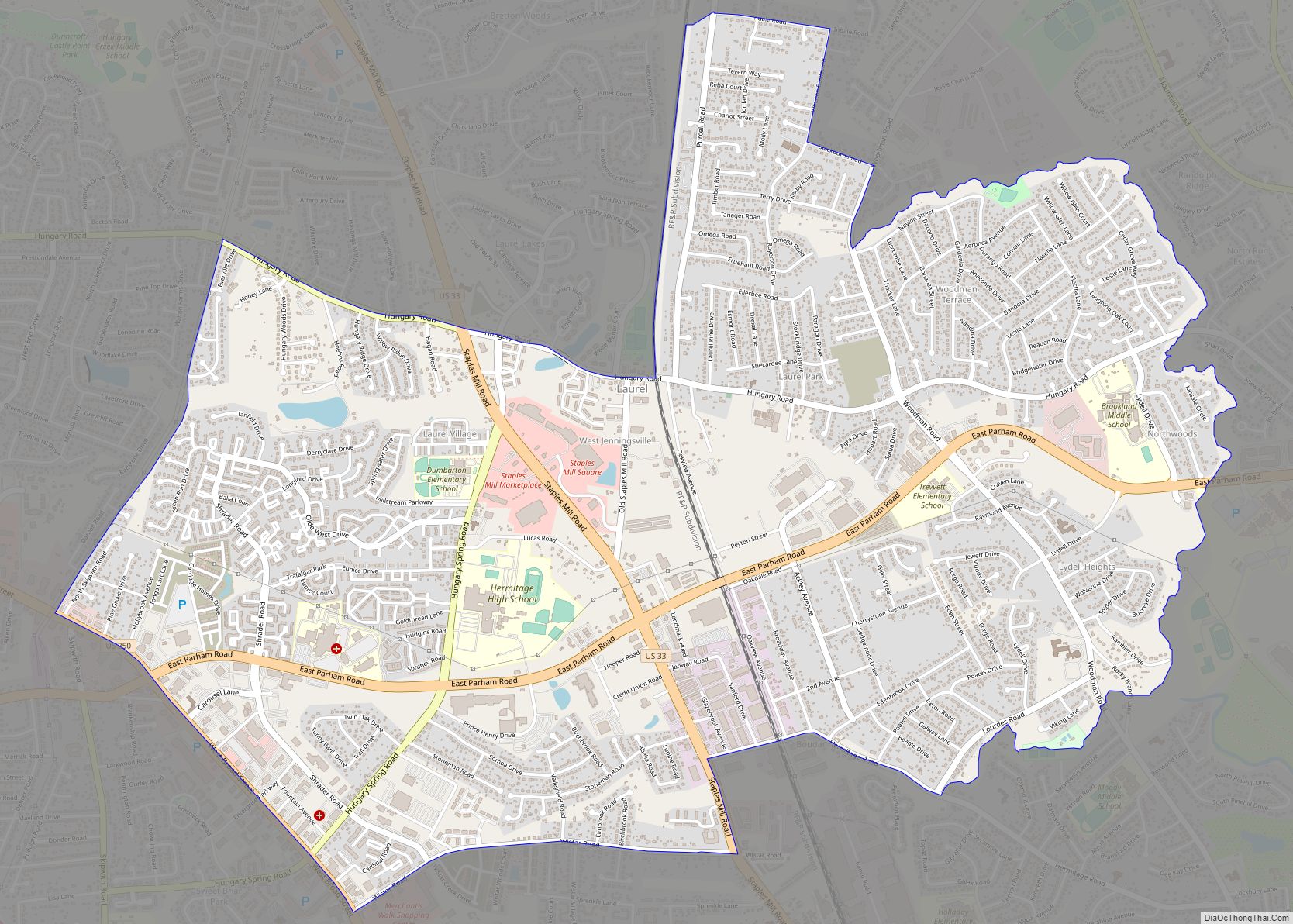
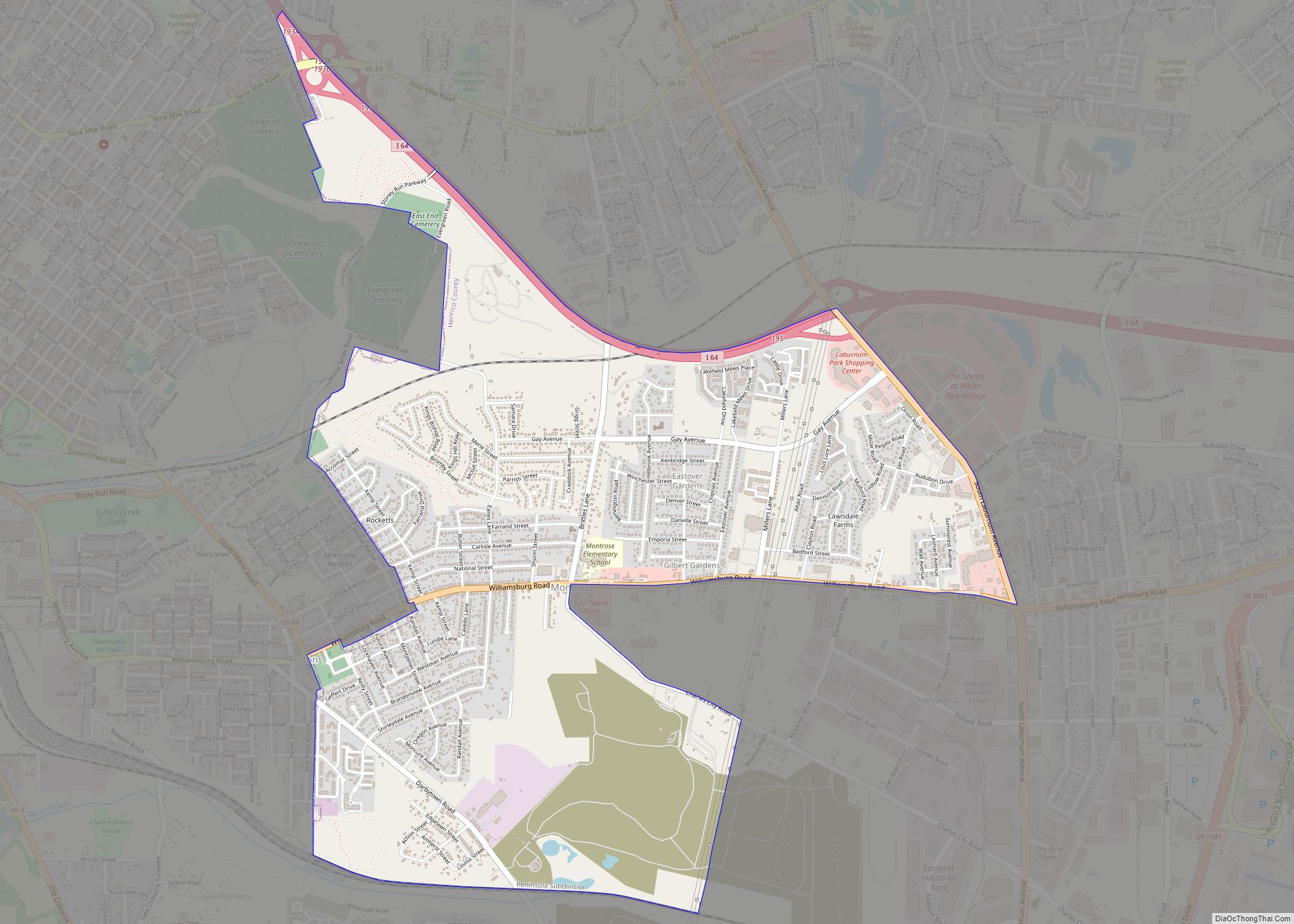
Online Interactive Map
Click on ![]() to view map in "full screen" mode.
to view map in "full screen" mode.
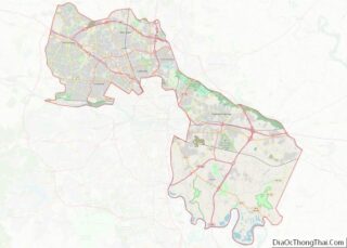
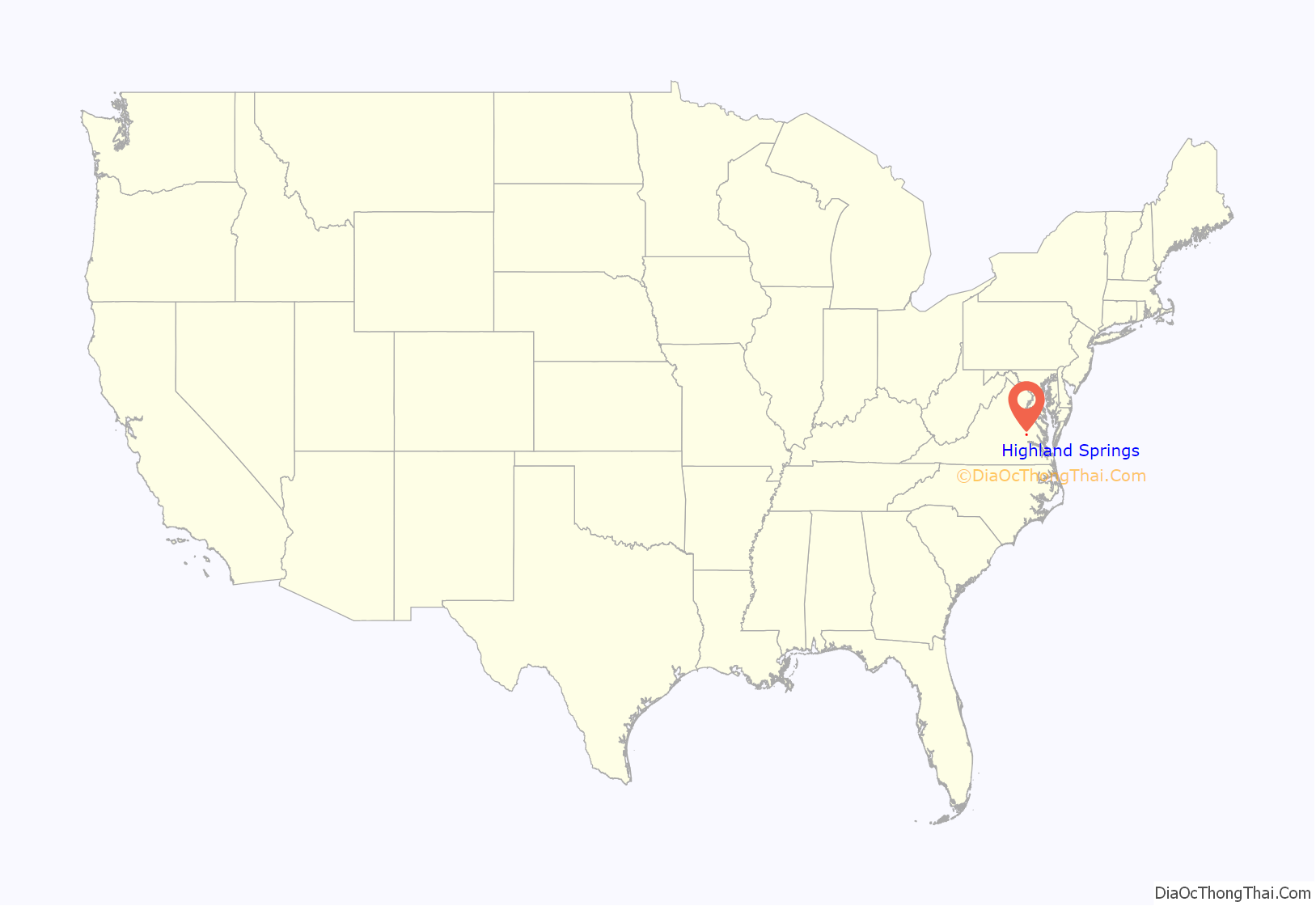
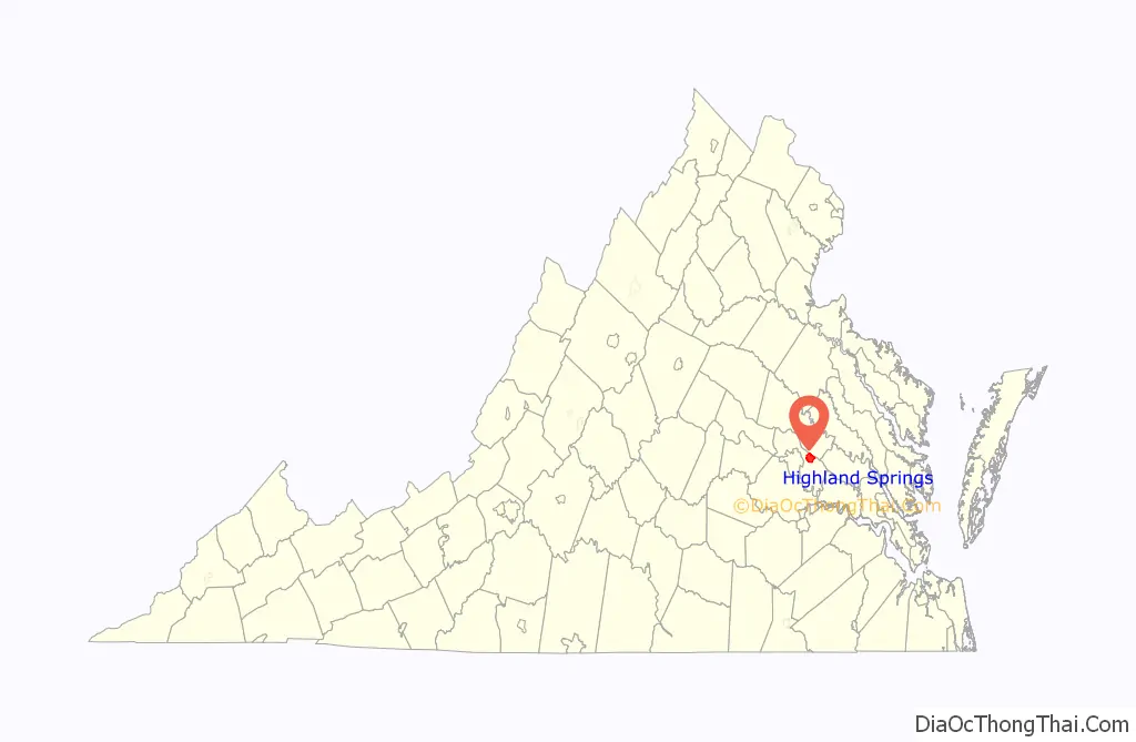
Highland Springs location map. Where is Highland Springs CDP?
History
Edmund Sewell Read founded the community of Highland Springs in the 1890s as a streetcar suburb of Richmond on the Seven Pines Railway Company’s electric street railway line between the city and the Seven Pines National Cemetery. There, many Union dead were interred, primarily as a result of battles nearby during the Civil War (1861–1865), most notably during the Peninsula Campaign of 1862. The potential traffic of visiting families to the Richmond area from out-of-town needing transportation to and from the cemetery was a motivating factor for inception of the new street railway.
Read came to the area from Boston in hopes of finding a suitable climate for his ailing wife. The natural springs in the area made it a suitable choice for the Read family, and apparently an inspiration for the new name.
Approximately mid-way along the new streetcar route from Richmond through eastern Henrico County, Read bought a 1,000-acre (400 ha) tract of land and divided it into lots. He laid out along the main street which was the pre-existing Nine Mile Road, new cross streets named in alphabetical order after plants, beginning from the west: Ash, Beech, Cedar, Daisy, Elm, Fern, Grove, Holly, Ivy, Juniper, Kalmia, Linden, Maple, Oak, Pine, Quince, Rose, and Spruce. One block south of and parallel to the Nine Mile Road, Read Street was named for its founder, Edmund Sewell Read.
The Sewells’ large brick home is situated on the south side of Nine Mile Road between Grove and Holly, with Read Street to its rear. Today it serves as a medical office complex.
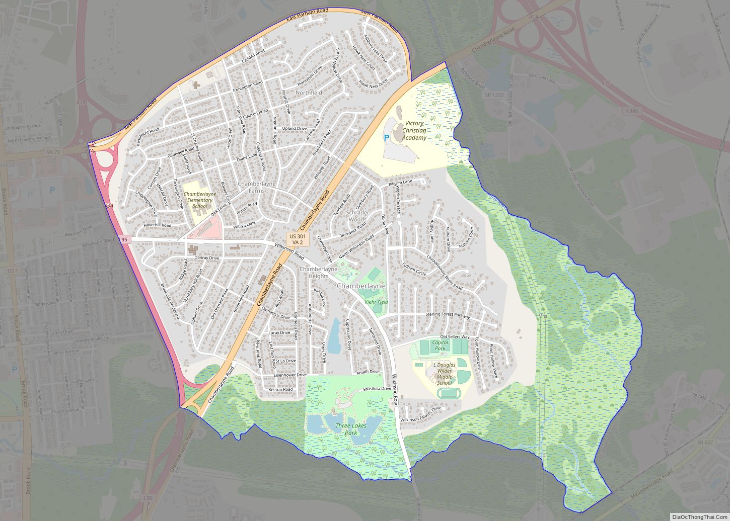
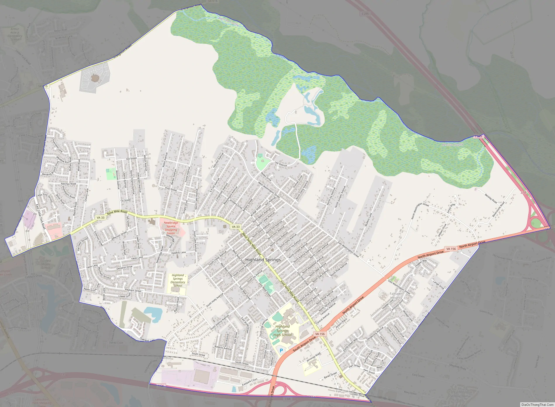
Highland Springs Road Map
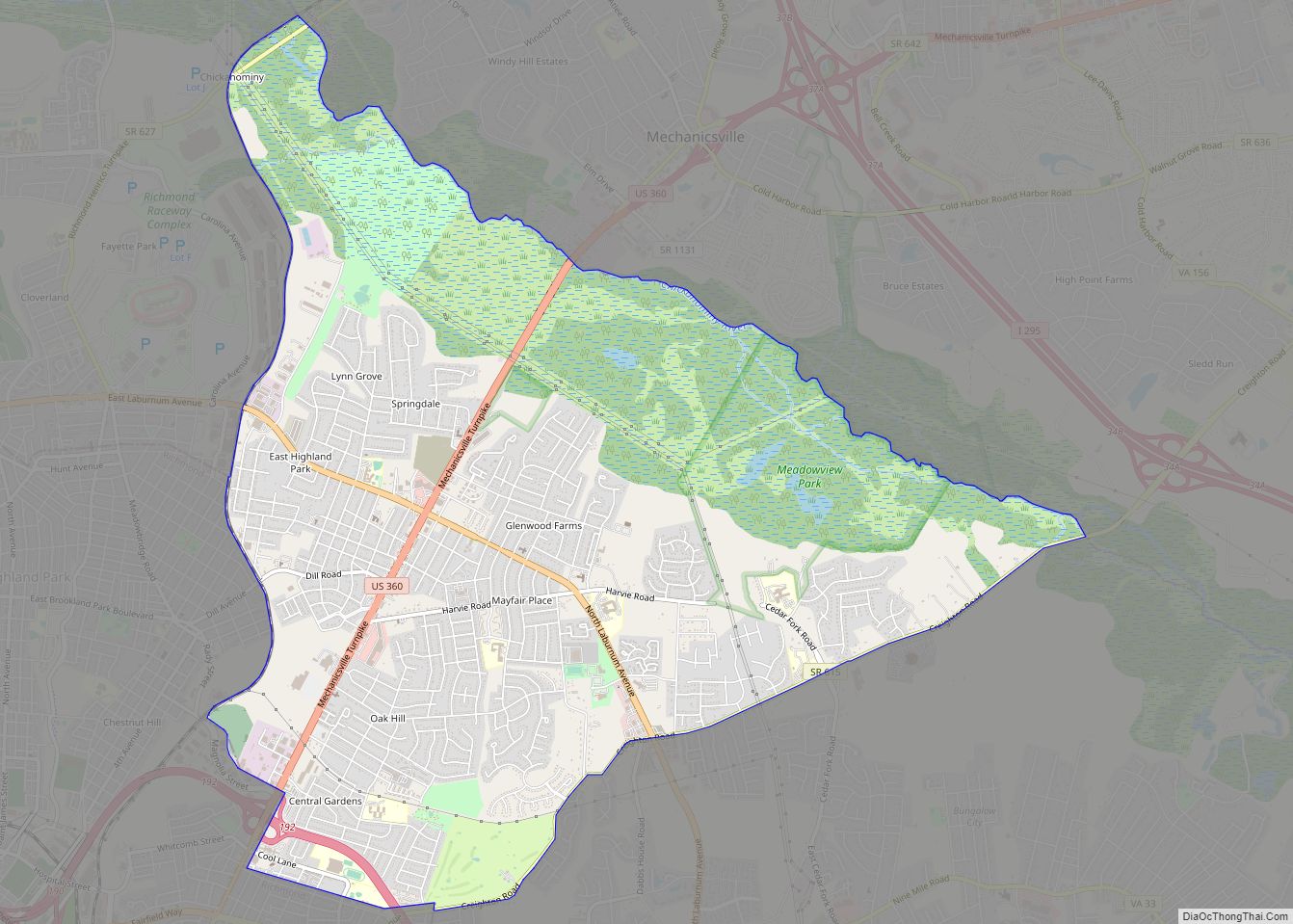
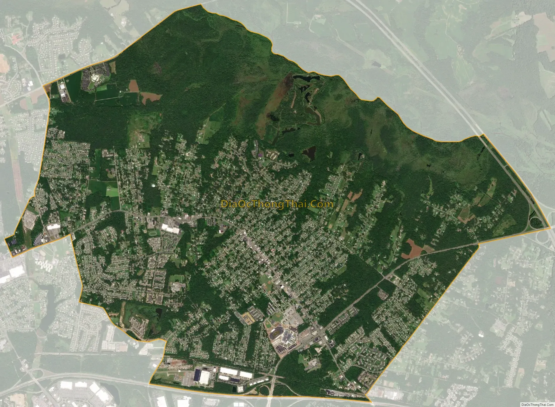
Highland Springs city Satellite Map
Geography
Highland Springs is located at 37°32′44″N 77°19′43″W / 37.54556°N 77.32861°W / 37.54556; -77.32861 (37.545445, −77.328524).
According to the United States Census Bureau, the CDP has a total area of 8.3 square miles (21.6 km), of which 8.0 square miles (20.7 km) is land and 0.35 square miles (0.9 km), or 4.09%, is water.
See also
Map of Virginia State and its subdivision:- Accomack
- Albemarle
- Alexandria
- Alleghany
- Amelia
- Amherst
- Appomattox
- Arlington
- Augusta
- Bath
- Bedford
- Bedford City
- Bland
- Botetourt
- Bristol
- Brunswick
- Buchanan
- Buckingham
- Buena Vista
- Campbell
- Caroline
- Carroll
- Charles City
- Charlotte
- Charlottesville
- Chesapeake
- Chesterfield
- Clarke
- Clifton Forge City
- Colonial Heights
- Covington
- Craig
- Culpeper
- Cumberland
- Danville
- Dickenson
- Dinwiddie
- Emporia
- Essex
- Fairfax
- Fairfax City
- Falls Church
- Fauquier
- Floyd
- Fluvanna
- Franklin
- Frederick
- Fredericksburg
- Galax
- Giles
- Gloucester
- Goochland
- Grayson
- Greene
- Greensville
- Halifax
- Hampton
- Hanover
- Harrisonburg
- Henrico
- Henry
- Highland
- Hopewell
- Isle of Wight
- James City
- King and Queen
- King George
- King William
- Lancaster
- Lee
- Lexington
- Loudoun
- Louisa
- Lunenburg
- Lynchburg
- Madison
- Manassas
- Manassas Park
- Martinsville
- Mathews
- Mecklenburg
- Middlesex
- Montgomery
- Nelson
- New Kent
- Newport News
- Norfolk
- Northampton
- Northumberland
- Norton
- Nottoway
- Orange
- Page
- Patrick
- Petersburg
- Pittsylvania
- Poquoson
- Portsmouth
- Powhatan
- Prince Edward
- Prince George
- Prince William
- Pulaski
- Radford
- Rappahannock
- Richmond
- Roanoke
- Roanoke City
- Rockbridge
- Rockingham
- Russell
- Salem
- Scott
- Shenandoah
- Smyth
- Southampton
- Spotsylvania
- Stafford
- Staunton
- Suffolk
- Surry
- Sussex
- Tazewell
- Virginia Beach
- Warren
- Washington
- Waynesboro
- Westmoreland
- Williamsburg
- Winchester
- Wise
- Wythe
- York
- Alabama
- Alaska
- Arizona
- Arkansas
- California
- Colorado
- Connecticut
- Delaware
- District of Columbia
- Florida
- Georgia
- Hawaii
- Idaho
- Illinois
- Indiana
- Iowa
- Kansas
- Kentucky
- Louisiana
- Maine
- Maryland
- Massachusetts
- Michigan
- Minnesota
- Mississippi
- Missouri
- Montana
- Nebraska
- Nevada
- New Hampshire
- New Jersey
- New Mexico
- New York
- North Carolina
- North Dakota
- Ohio
- Oklahoma
- Oregon
- Pennsylvania
- Rhode Island
- South Carolina
- South Dakota
- Tennessee
- Texas
- Utah
- Vermont
- Virginia
- Washington
- West Virginia
- Wisconsin
- Wyoming