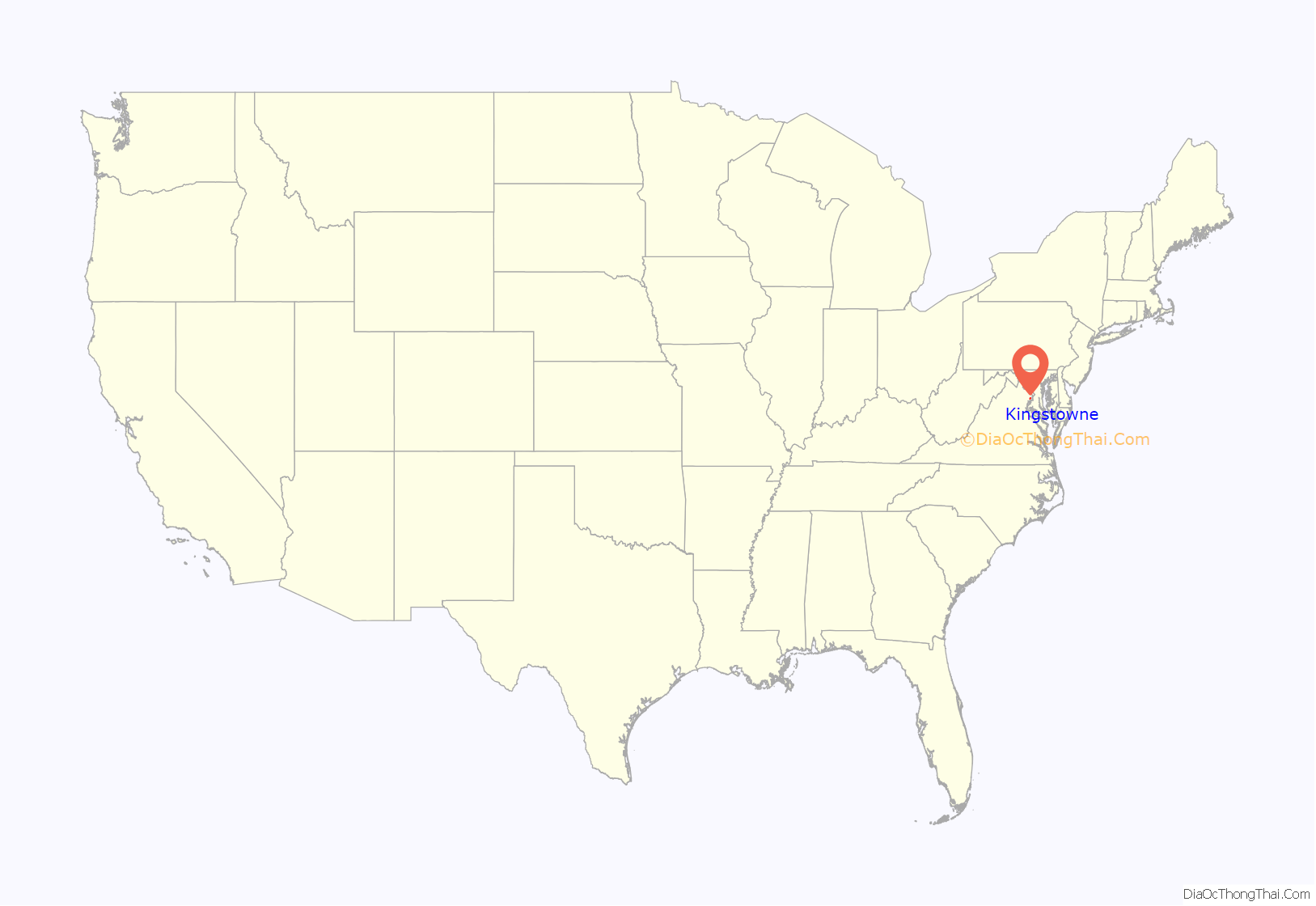
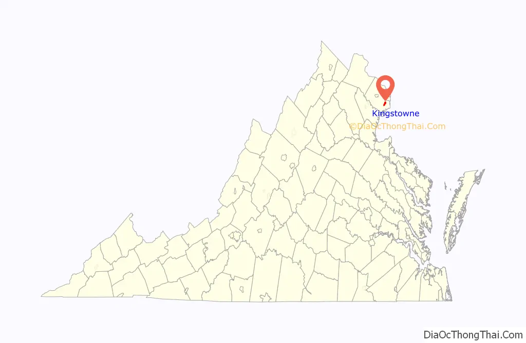
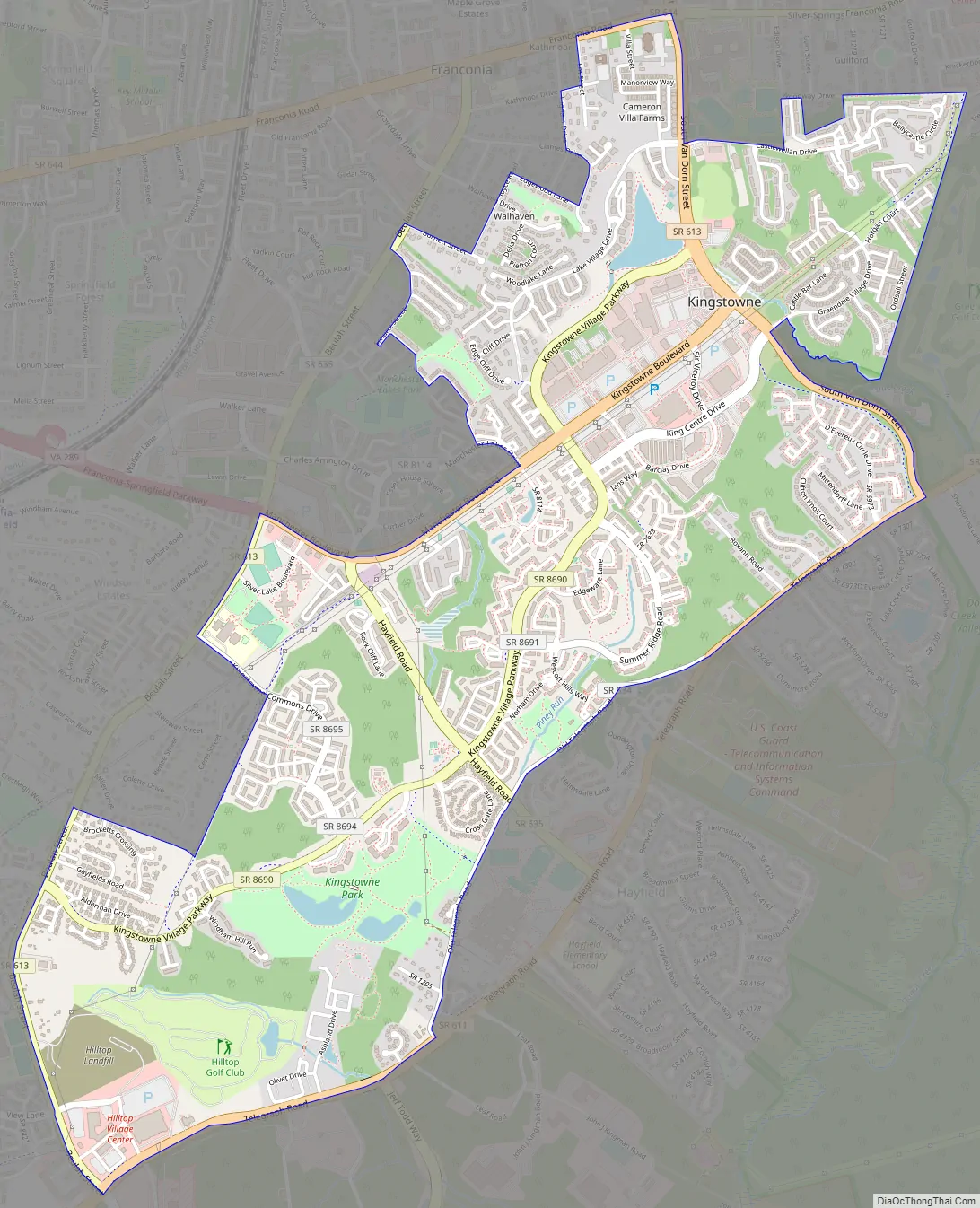
Kingstowne is a census-designated place (CDP) in Fairfax County, Virginia, United States. It is a planned community amid the Washington, D.C. suburbs of Springfield, Alexandria, and Franconia, Virginia, and is centered on the intersection of South Van Dorn Street and Kingstowne Boulevard. The population as of the 2020 census was 16,825.
Kingstowne has a town center containing office and retail businesses. The entire community comprises numerous subdivisions containing apartments, condominiums, single-family homes, and townhomes. It began construction in the 1980s through the Halle Companies and is still expanding today in the town center with commercial and office space and in the subdivisions with more single-family homes. Kingstowne has its own ZIP code, 22315, a substation of the Alexandria U.S. Post Office.
| Name: | Kingstowne CDP |
|---|---|
| LSAD Code: | 57 |
| LSAD Description: | CDP (suffix) |
| State: | Virginia |
| County: | Fairfax County |
| Elevation: | 200 ft (60 m) |
| Total Area: | 2.9 sq mi (7.5 km²) |
| Land Area: | 2.9 sq mi (7.4 km²) |
| Water Area: | 0.04 sq mi (0.1 km²) |
| Total Population: | 16,825 |
| Population Density: | 5,889/sq mi (2,273.6/km²) |
| ZIP code: | 22315 |
| FIPS code: | 5142746 |
| GNISfeature ID: | 2584862 |
Online Interactive Map
Click on ![]() to view map in "full screen" mode.
to view map in "full screen" mode.
Kingstowne location map. Where is Kingstowne CDP?
Kingstowne Road Map
Kingstowne city Satellite Map

Geography
The Kingstowne CDP is in southeastern Fairfax County, bordered to the north and west by Franconia, to the northeast by Rose Hill, to the southeast by Hayfield, to the south by Fort Belvoir, and for a short distance at its southwestern end by Newington. Downtown Washington, D.C., is 13 miles (21 km) to the northeast.
According to the U.S. Census Bureau, the Kingstowne CDP has a total area of 2.9 square miles (7.5 km), of which 2.9 square miles (7.4 km) is land and 0.04 square miles (0.1 km), or 1.49%, is water.
See also
Map of Virginia State and its subdivision:- Accomack
- Albemarle
- Alexandria
- Alleghany
- Amelia
- Amherst
- Appomattox
- Arlington
- Augusta
- Bath
- Bedford
- Bedford City
- Bland
- Botetourt
- Bristol
- Brunswick
- Buchanan
- Buckingham
- Buena Vista
- Campbell
- Caroline
- Carroll
- Charles City
- Charlotte
- Charlottesville
- Chesapeake
- Chesterfield
- Clarke
- Clifton Forge City
- Colonial Heights
- Covington
- Craig
- Culpeper
- Cumberland
- Danville
- Dickenson
- Dinwiddie
- Emporia
- Essex
- Fairfax
- Fairfax City
- Falls Church
- Fauquier
- Floyd
- Fluvanna
- Franklin
- Frederick
- Fredericksburg
- Galax
- Giles
- Gloucester
- Goochland
- Grayson
- Greene
- Greensville
- Halifax
- Hampton
- Hanover
- Harrisonburg
- Henrico
- Henry
- Highland
- Hopewell
- Isle of Wight
- James City
- King and Queen
- King George
- King William
- Lancaster
- Lee
- Lexington
- Loudoun
- Louisa
- Lunenburg
- Lynchburg
- Madison
- Manassas
- Manassas Park
- Martinsville
- Mathews
- Mecklenburg
- Middlesex
- Montgomery
- Nelson
- New Kent
- Newport News
- Norfolk
- Northampton
- Northumberland
- Norton
- Nottoway
- Orange
- Page
- Patrick
- Petersburg
- Pittsylvania
- Poquoson
- Portsmouth
- Powhatan
- Prince Edward
- Prince George
- Prince William
- Pulaski
- Radford
- Rappahannock
- Richmond
- Roanoke
- Roanoke City
- Rockbridge
- Rockingham
- Russell
- Salem
- Scott
- Shenandoah
- Smyth
- Southampton
- Spotsylvania
- Stafford
- Staunton
- Suffolk
- Surry
- Sussex
- Tazewell
- Virginia Beach
- Warren
- Washington
- Waynesboro
- Westmoreland
- Williamsburg
- Winchester
- Wise
- Wythe
- York
- Alabama
- Alaska
- Arizona
- Arkansas
- California
- Colorado
- Connecticut
- Delaware
- District of Columbia
- Florida
- Georgia
- Hawaii
- Idaho
- Illinois
- Indiana
- Iowa
- Kansas
- Kentucky
- Louisiana
- Maine
- Maryland
- Massachusetts
- Michigan
- Minnesota
- Mississippi
- Missouri
- Montana
- Nebraska
- Nevada
- New Hampshire
- New Jersey
- New Mexico
- New York
- North Carolina
- North Dakota
- Ohio
- Oklahoma
- Oregon
- Pennsylvania
- Rhode Island
- South Carolina
- South Dakota
- Tennessee
- Texas
- Utah
- Vermont
- Virginia
- Washington
- West Virginia
- Wisconsin
- Wyoming


