Loudoun Valley Estates is a census-designated place (CDP) in Loudoun County, Virginia, United States. The population as of the 2010 United States Census was 3,656. It is a Toll Brothers community located near the planned Ashburn Metro station complex and Moorefield Station town center in the southern part of Ashburn, Virginia. Loudoun Valley Estates is governed by a homeowners’ association.
It was formerly part of the county planning commission’s Urban Policy Area but has been removed. The community is served by the Loudoun County Parkway.
| Name: | Loudoun Valley Estates CDP |
|---|---|
| LSAD Code: | 57 |
| LSAD Description: | CDP (suffix) |
| State: | Virginia |
| County: | Loudoun County |
| Elevation: | 295 ft (90 m) |
| Total Area: | 2.83 sq mi (7.32 km²) |
| Land Area: | 2.81 sq mi (7.27 km²) |
| Water Area: | 0.02 sq mi (0.06 km²) |
| Total Population: | 3,656 |
| Population Density: | 1,303/sq mi (503.2/km²) |
| ZIP code: | 20148 (Ashburn) 20166 (Sterling) |
| FIPS code: | 5147136 |
| GNISfeature ID: | 2584868 |
Online Interactive Map
Click on ![]() to view map in "full screen" mode.
to view map in "full screen" mode.
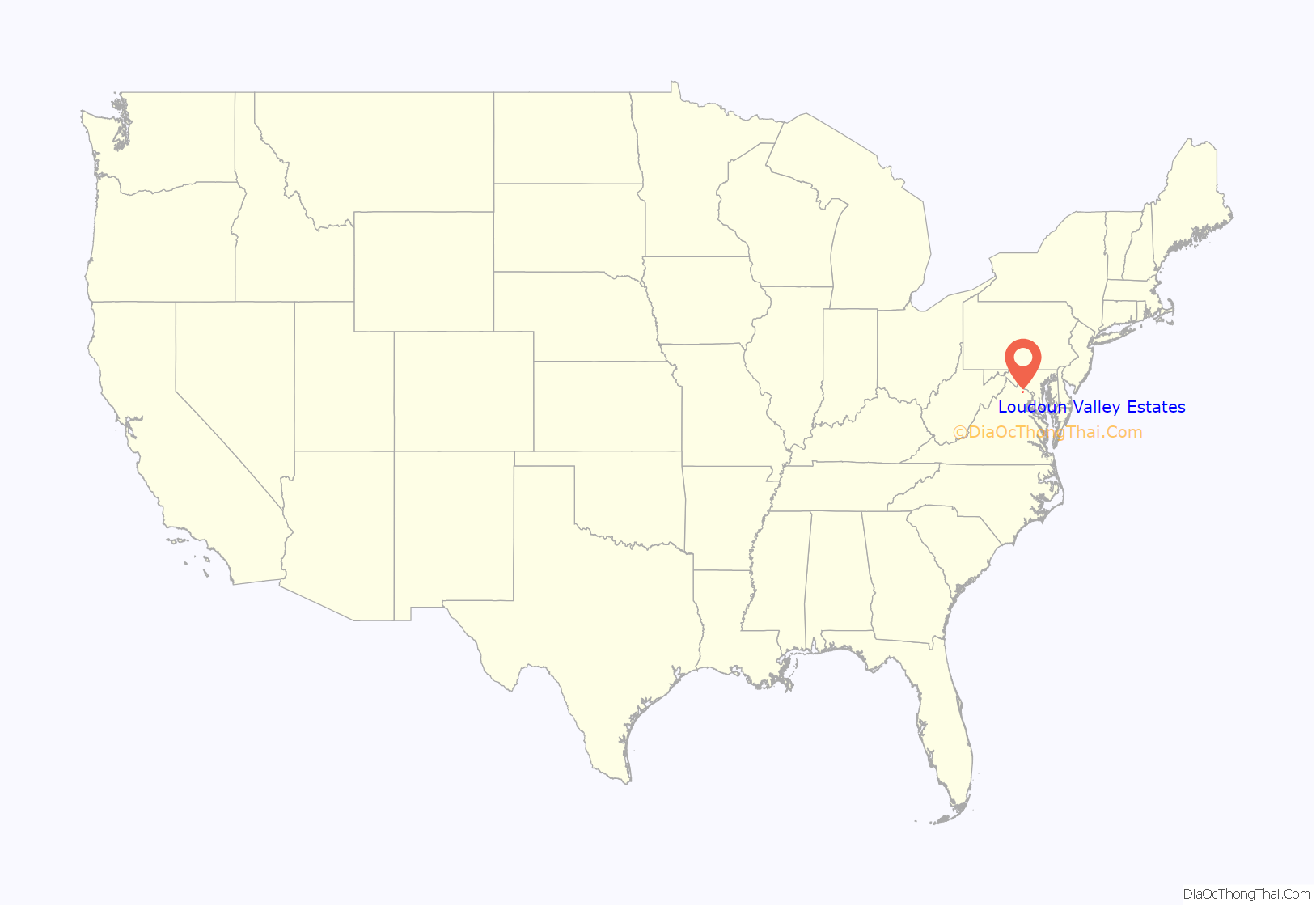
Loudoun Valley Estates location map. Where is Loudoun Valley Estates CDP?
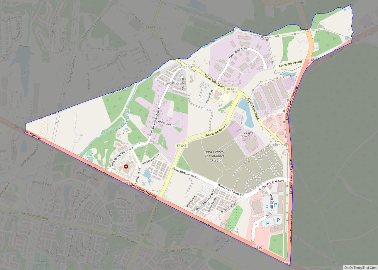
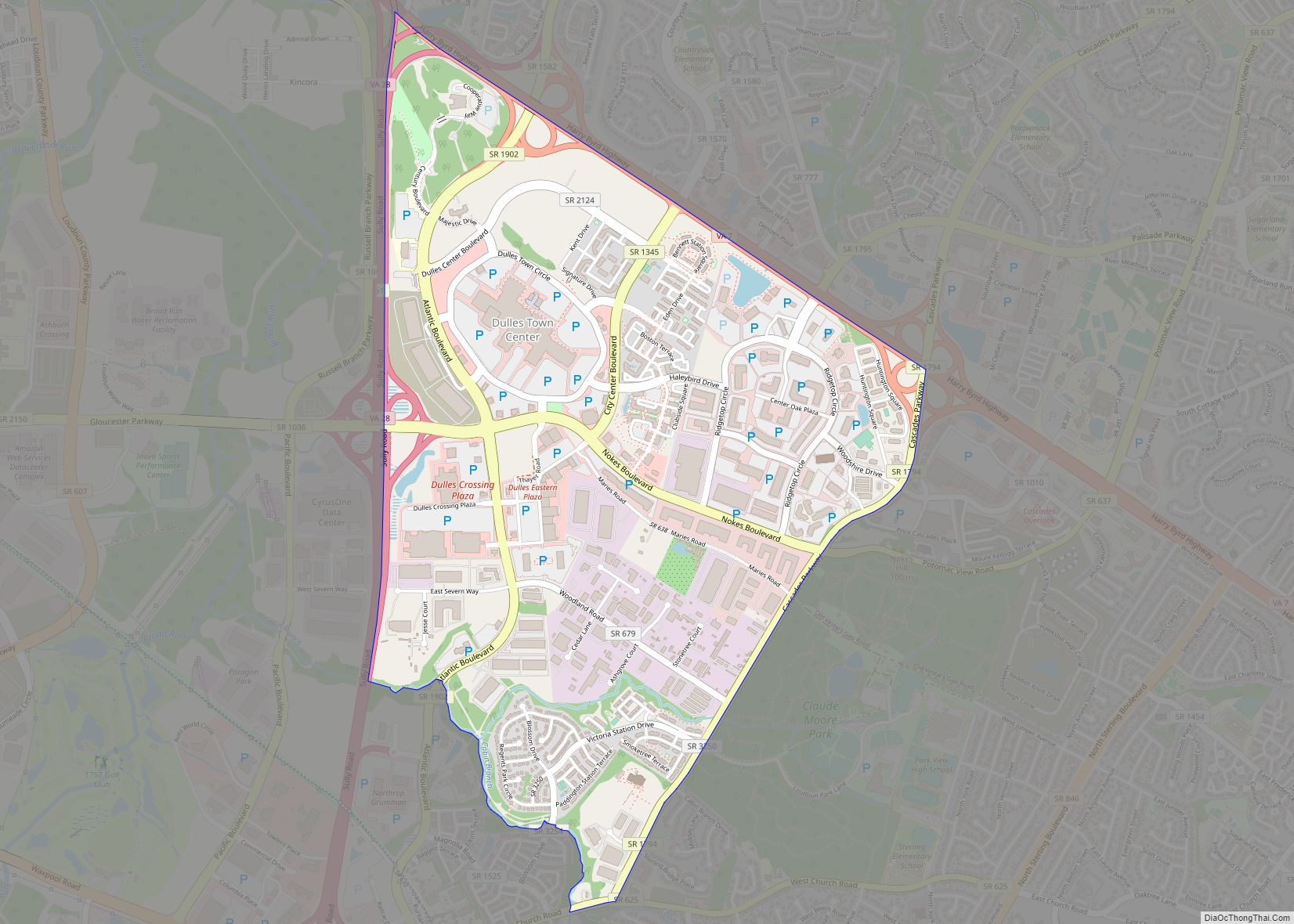
Loudoun Valley Estates Road Map
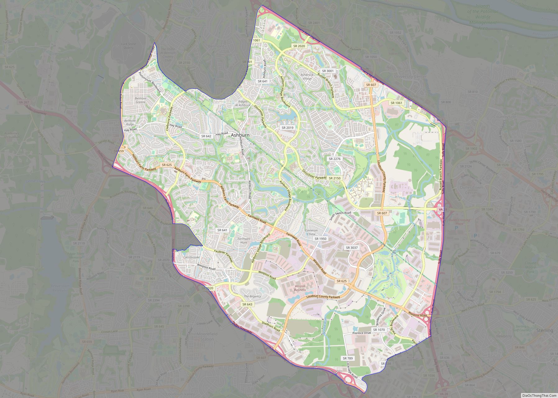
Loudoun Valley Estates city Satellite Map
Geography
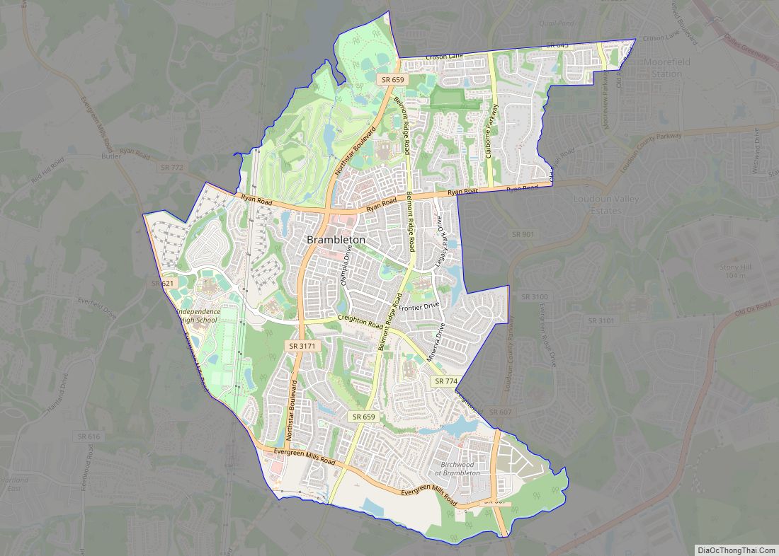
Loudoun Valley Estates is in southeastern Loudoun County and is bordered by Brambleton to the south and west, Broadlands and Moorefield to the north, and the runways of Dulles International Airport to the east. It is 2 miles (3 km) southwest of the Dulles Greenway (Virginia Route 267), 11 miles (18 km) south of Leesburg, the county seat, and 32 miles (51 km) west-northwest of Washington, D.C.
According to the U.S. Census Bureau, the Loudoun Valley Estates CDP has a total area of 2.8 square miles (7.3 km), of which 0.02 square miles (0.06 km), or 0.76%, are water. The community is drained by Broad Run, a northeast-flowing tributary of the Potomac River.
The land around Loudoun Valley Estates is gently rolling. The average elevation is 289 feet (88 m). The population density is about 500 people per square kilometer.
The climate is humid subtropical. The average temperature is 57 °F (14 °C). The warmest month is August, at 77 °F (25 °C), and the coldest is January, at 32 °F (0 °C). The average rainfall 46.8 inches (1,188 mm) per year. The wettest month was October, at 5.0 inches (128 mm) of rain, and the least wet was November, at 2.1 inches (54 mm).
See also
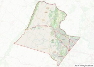
Map of Virginia State and its subdivision:- Accomack
- Albemarle
- Alexandria
- Alleghany
- Amelia
- Amherst
- Appomattox
- Arlington
- Augusta
- Bath
- Bedford
- Bedford City
- Bland
- Botetourt
- Bristol
- Brunswick
- Buchanan
- Buckingham
- Buena Vista
- Campbell
- Caroline
- Carroll
- Charles City
- Charlotte
- Charlottesville
- Chesapeake
- Chesterfield
- Clarke
- Clifton Forge City
- Colonial Heights
- Covington
- Craig
- Culpeper
- Cumberland
- Danville
- Dickenson
- Dinwiddie
- Emporia
- Essex
- Fairfax
- Fairfax City
- Falls Church
- Fauquier
- Floyd
- Fluvanna
- Franklin
- Frederick
- Fredericksburg
- Galax
- Giles
- Gloucester
- Goochland
- Grayson
- Greene
- Greensville
- Halifax
- Hampton
- Hanover
- Harrisonburg
- Henrico
- Henry
- Highland
- Hopewell
- Isle of Wight
- James City
- King and Queen
- King George
- King William
- Lancaster
- Lee
- Lexington
- Loudoun
- Louisa
- Lunenburg
- Lynchburg
- Madison
- Manassas
- Manassas Park
- Martinsville
- Mathews
- Mecklenburg
- Middlesex
- Montgomery
- Nelson
- New Kent
- Newport News
- Norfolk
- Northampton
- Northumberland
- Norton
- Nottoway
- Orange
- Page
- Patrick
- Petersburg
- Pittsylvania
- Poquoson
- Portsmouth
- Powhatan
- Prince Edward
- Prince George
- Prince William
- Pulaski
- Radford
- Rappahannock
- Richmond
- Roanoke
- Roanoke City
- Rockbridge
- Rockingham
- Russell
- Salem
- Scott
- Shenandoah
- Smyth
- Southampton
- Spotsylvania
- Stafford
- Staunton
- Suffolk
- Surry
- Sussex
- Tazewell
- Virginia Beach
- Warren
- Washington
- Waynesboro
- Westmoreland
- Williamsburg
- Winchester
- Wise
- Wythe
- York
- Alabama
- Alaska
- Arizona
- Arkansas
- California
- Colorado
- Connecticut
- Delaware
- District of Columbia
- Florida
- Georgia
- Hawaii
- Idaho
- Illinois
- Indiana
- Iowa
- Kansas
- Kentucky
- Louisiana
- Maine
- Maryland
- Massachusetts
- Michigan
- Minnesota
- Mississippi
- Missouri
- Montana
- Nebraska
- Nevada
- New Hampshire
- New Jersey
- New Mexico
- New York
- North Carolina
- North Dakota
- Ohio
- Oklahoma
- Oregon
- Pennsylvania
- Rhode Island
- South Carolina
- South Dakota
- Tennessee
- Texas
- Utah
- Vermont
- Virginia
- Washington
- West Virginia
- Wisconsin
- Wyoming
