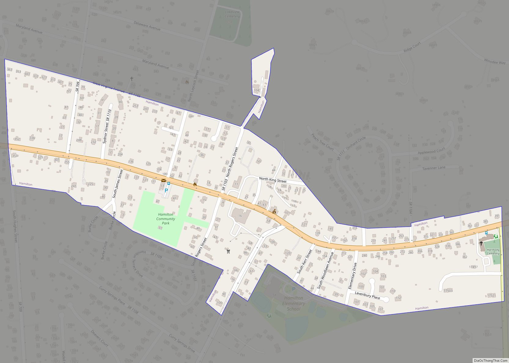
Lovettsville is a town in Loudoun County, located near the very northern tip of the Commonwealth of Virginia, United States. Settled primarily by German immigrants, the town was originally established in 1836.
The population was 1,613 at the 2010 census and an estimated 2,198 in 2019.
| Name: | Lovettsville town |
|---|---|
| LSAD Code: | 43 |
| LSAD Description: | town (suffix) |
| State: | Virginia |
| County: | Loudoun County |
| Elevation: | 505 ft (154 m) |
| Total Area: | 0.85 sq mi (2.20 km²) |
| Land Area: | 0.84 sq mi (2.19 km²) |
| Water Area: | 0.00 sq mi (0.01 km²) |
| Total Population: | 1,613 |
| Population Density: | 2,604.27/sq mi (1,005.09/km²) |
| ZIP code: | 20180 |
| Area code: | 540 |
| FIPS code: | 5147208 |
| GNISfeature ID: | 1495879 |
| Website: | www.lovettsvilleva.gov |
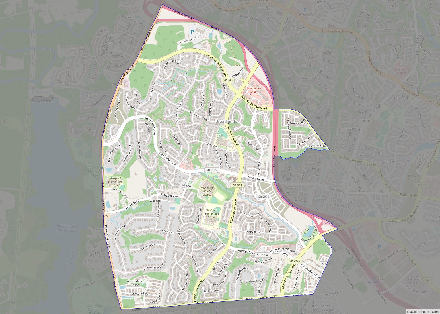
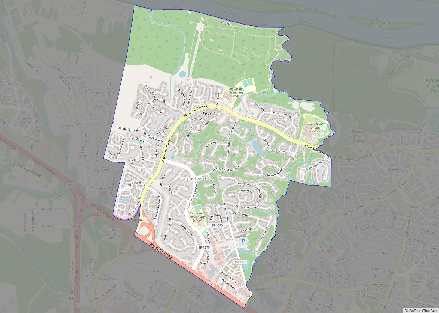
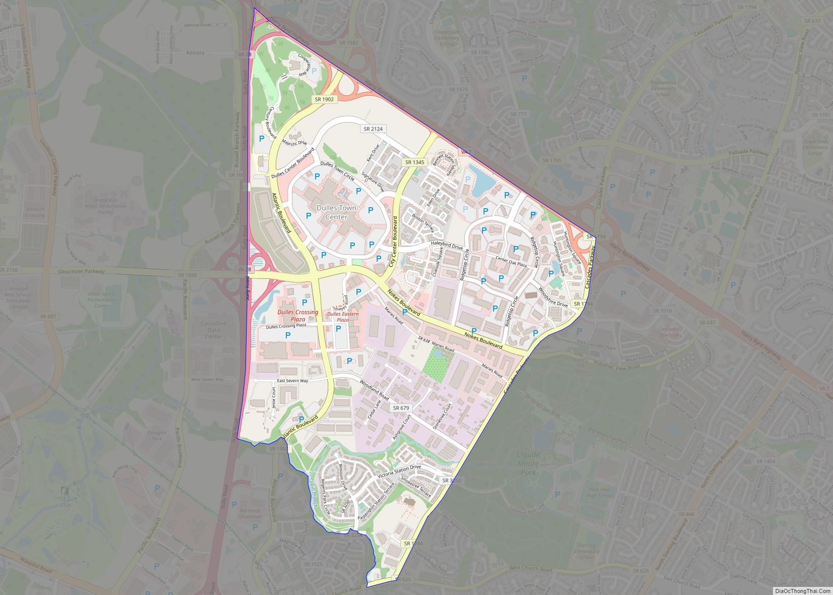
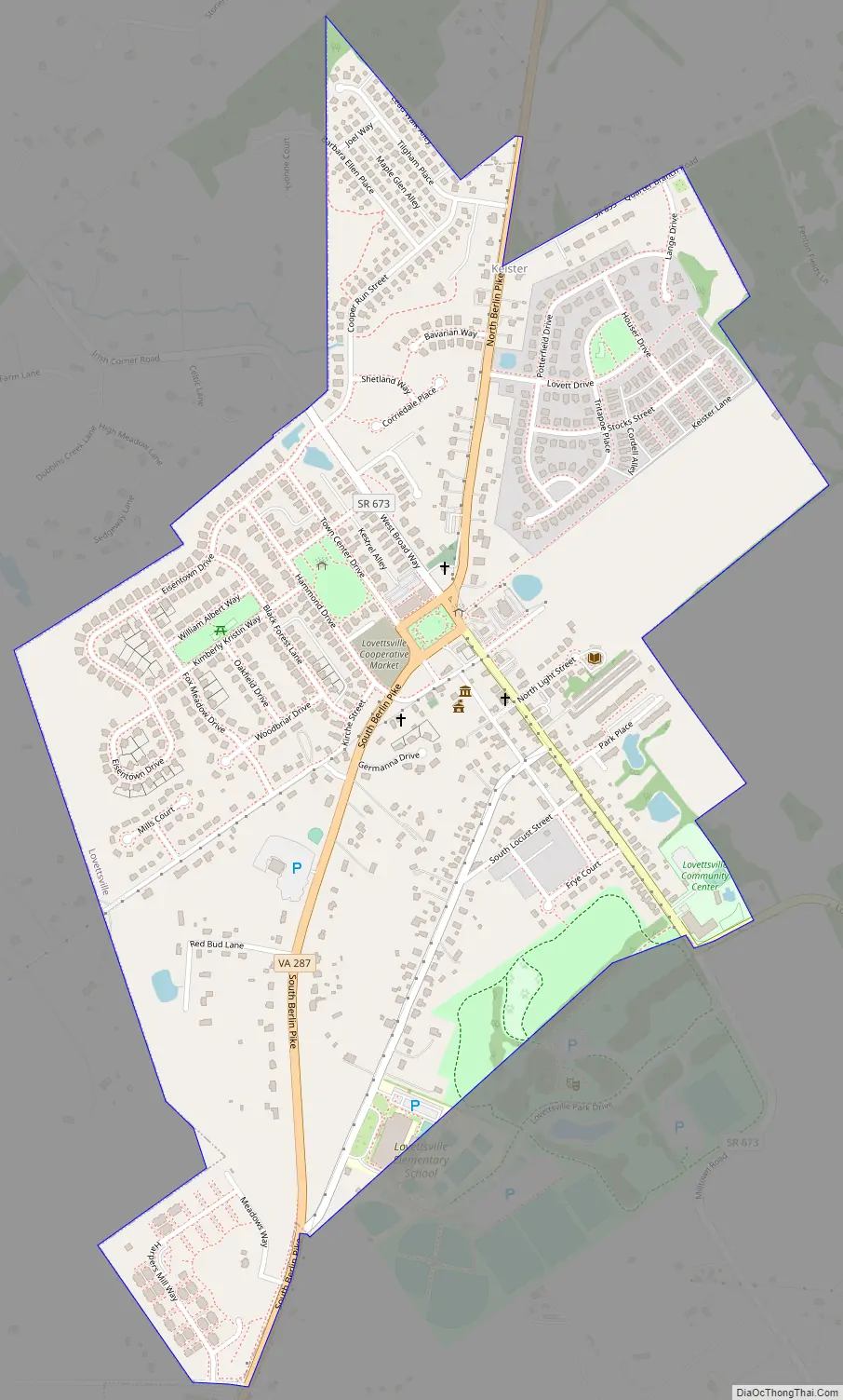
Online Interactive Map
Click on ![]() to view map in "full screen" mode.
to view map in "full screen" mode.
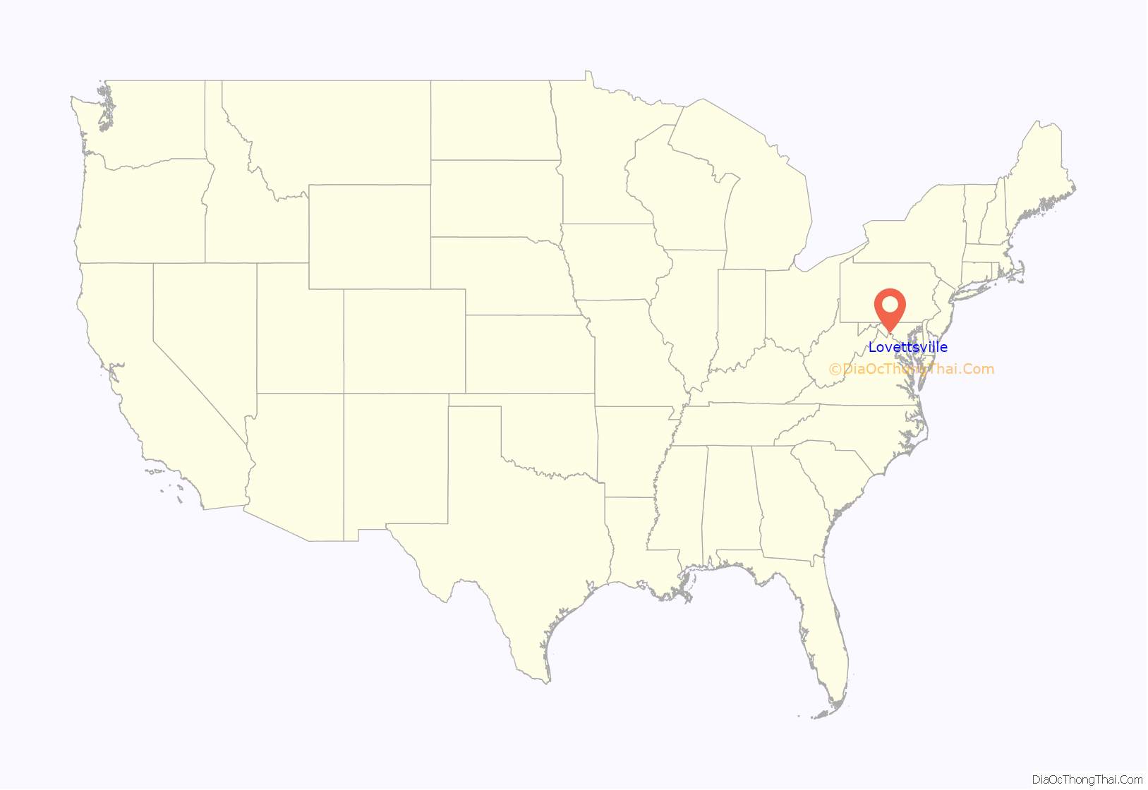
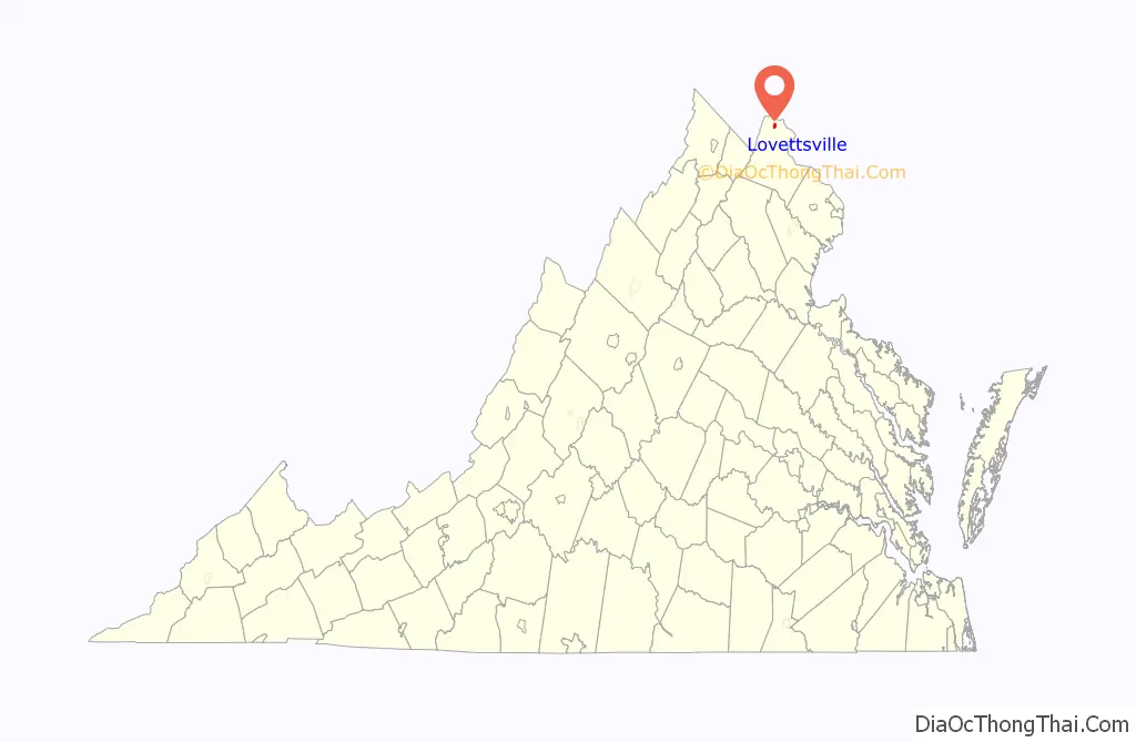
Lovettsville location map. Where is Lovettsville town?
History
Following the 1722 Treaty of St. Albans which established the Blue Ridge Mountains as the buffer between Native Americans and white settlers, German immigrants began arriving in the northern Loudoun Valley to farm the rich topsoil. They established several villages, many constructed of log and wooden buildings, and began to expand their land holdings. Lovettsville was then called “The German Settlement”.
In 1820 David Lovett subdivided his property into quarter-acre “city lots”. As a result of the ensuing construction boom, the town was called “Newtown”. In 1828, the town was again renamed, to “Lovettsville”. In 1836 the Virginia General Assembly established Lovettsville as a town, but the town was not fully incorporated until 1876.
During the Civil War, Lovettsville was an important transportation stop for Union troops crossing the Potomac River. Lovettsville was among the few communities in Loudoun County to vote against secession.
In 1940, Lovettsville was the site of a crash of a DC-3 airliner. It was the worst in US history at that time, killing 25 people, including U.S. Senator Ernest Lundeen, and became known as the Lovettsville air disaster.
The Lovettsville Historic District was listed on the National Register of Historic Places in 2012.
In 2018, after the NHL’s Washington Capitals advanced to the Stanley Cup Finals for the second time in franchise history, the town’s council voted to temporarily rename Lovettsville “Capitals-ville” for the duration of the finals.
Lovettsville Road Map
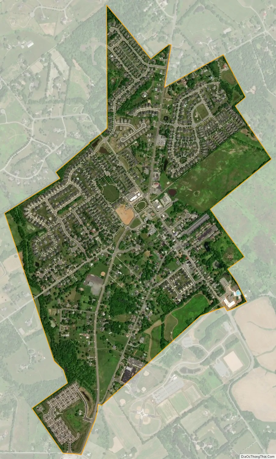
Lovettsville city Satellite Map
Geography
Lovettsville is located in northern Loudoun County at 39°16.4′N 77°38.4′W / 39.2733°N 77.6400°W / 39.2733; -77.6400 (39.2728, -77.6399). Virginia State Route 287 passes through the center of town, leading north 3 miles (5 km) to Brunswick, Maryland, and south 11 miles (18 km) to Purcellville. Leesburg, the Loudoun county seat, is 14 miles (23 km) southeast of Lovettsville.
According to the United States Census Bureau, the town has a total area of 0.85 square miles (2.2 km), of which 2.1 acres (8,354 m), or 0.38%, are water. The town sits on a low ridge within the Loudoun Valley, with the west side of town draining to Dutchman Creek and the east side draining to Quarter Branch, both streams flowing north to the Potomac River.
See also
Map of Virginia State and its subdivision:- Accomack
- Albemarle
- Alexandria
- Alleghany
- Amelia
- Amherst
- Appomattox
- Arlington
- Augusta
- Bath
- Bedford
- Bedford City
- Bland
- Botetourt
- Bristol
- Brunswick
- Buchanan
- Buckingham
- Buena Vista
- Campbell
- Caroline
- Carroll
- Charles City
- Charlotte
- Charlottesville
- Chesapeake
- Chesterfield
- Clarke
- Clifton Forge City
- Colonial Heights
- Covington
- Craig
- Culpeper
- Cumberland
- Danville
- Dickenson
- Dinwiddie
- Emporia
- Essex
- Fairfax
- Fairfax City
- Falls Church
- Fauquier
- Floyd
- Fluvanna
- Franklin
- Frederick
- Fredericksburg
- Galax
- Giles
- Gloucester
- Goochland
- Grayson
- Greene
- Greensville
- Halifax
- Hampton
- Hanover
- Harrisonburg
- Henrico
- Henry
- Highland
- Hopewell
- Isle of Wight
- James City
- King and Queen
- King George
- King William
- Lancaster
- Lee
- Lexington
- Loudoun
- Louisa
- Lunenburg
- Lynchburg
- Madison
- Manassas
- Manassas Park
- Martinsville
- Mathews
- Mecklenburg
- Middlesex
- Montgomery
- Nelson
- New Kent
- Newport News
- Norfolk
- Northampton
- Northumberland
- Norton
- Nottoway
- Orange
- Page
- Patrick
- Petersburg
- Pittsylvania
- Poquoson
- Portsmouth
- Powhatan
- Prince Edward
- Prince George
- Prince William
- Pulaski
- Radford
- Rappahannock
- Richmond
- Roanoke
- Roanoke City
- Rockbridge
- Rockingham
- Russell
- Salem
- Scott
- Shenandoah
- Smyth
- Southampton
- Spotsylvania
- Stafford
- Staunton
- Suffolk
- Surry
- Sussex
- Tazewell
- Virginia Beach
- Warren
- Washington
- Waynesboro
- Westmoreland
- Williamsburg
- Winchester
- Wise
- Wythe
- York
- Alabama
- Alaska
- Arizona
- Arkansas
- California
- Colorado
- Connecticut
- Delaware
- District of Columbia
- Florida
- Georgia
- Hawaii
- Idaho
- Illinois
- Indiana
- Iowa
- Kansas
- Kentucky
- Louisiana
- Maine
- Maryland
- Massachusetts
- Michigan
- Minnesota
- Mississippi
- Missouri
- Montana
- Nebraska
- Nevada
- New Hampshire
- New Jersey
- New Mexico
- New York
- North Carolina
- North Dakota
- Ohio
- Oklahoma
- Oregon
- Pennsylvania
- Rhode Island
- South Carolina
- South Dakota
- Tennessee
- Texas
- Utah
- Vermont
- Virginia
- Washington
- West Virginia
- Wisconsin
- Wyoming