Pulaski is a town in Pulaski County, Virginia, United States. The population was 9,086 at the 2010 census. It is the county seat of Pulaski County.
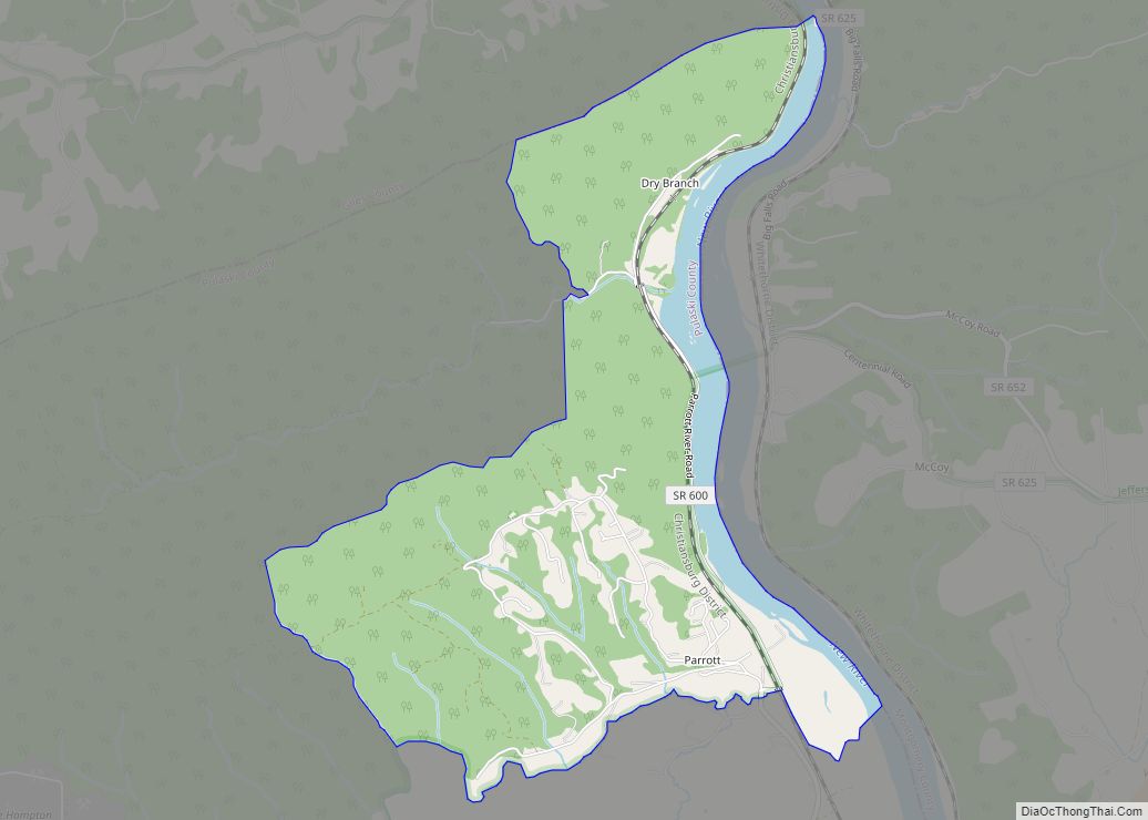
Pulaski is part of the Blacksburg–Christiansburg Metropolitan Statistical Area.
| Name: | Pulaski town |
|---|---|
| LSAD Code: | 43 |
| LSAD Description: | town (suffix) |
| State: | Virginia |
| County: | Pulaski County |
| Elevation: | 1,903 ft (580 m) |
| Total Area: | 8.12 sq mi (21.03 km²) |
| Land Area: | 8.07 sq mi (20.90 km²) |
| Water Area: | 0.05 sq mi (0.14 km²) |
| Total Population: | 9,086 |
| Population Density: | 1,079.94/sq mi (416.96/km²) |
| ZIP code: | 24301 |
| Area code: | 540 |
| FIPS code: | 5164880 |
| GNISfeature ID: | 1499922 |
| Website: | http://www.pulaskitown.org/ |
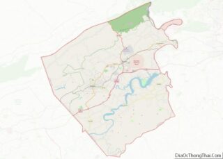
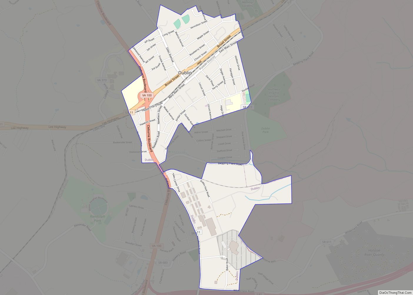
Online Interactive Map
Click on ![]() to view map in "full screen" mode.
to view map in "full screen" mode.
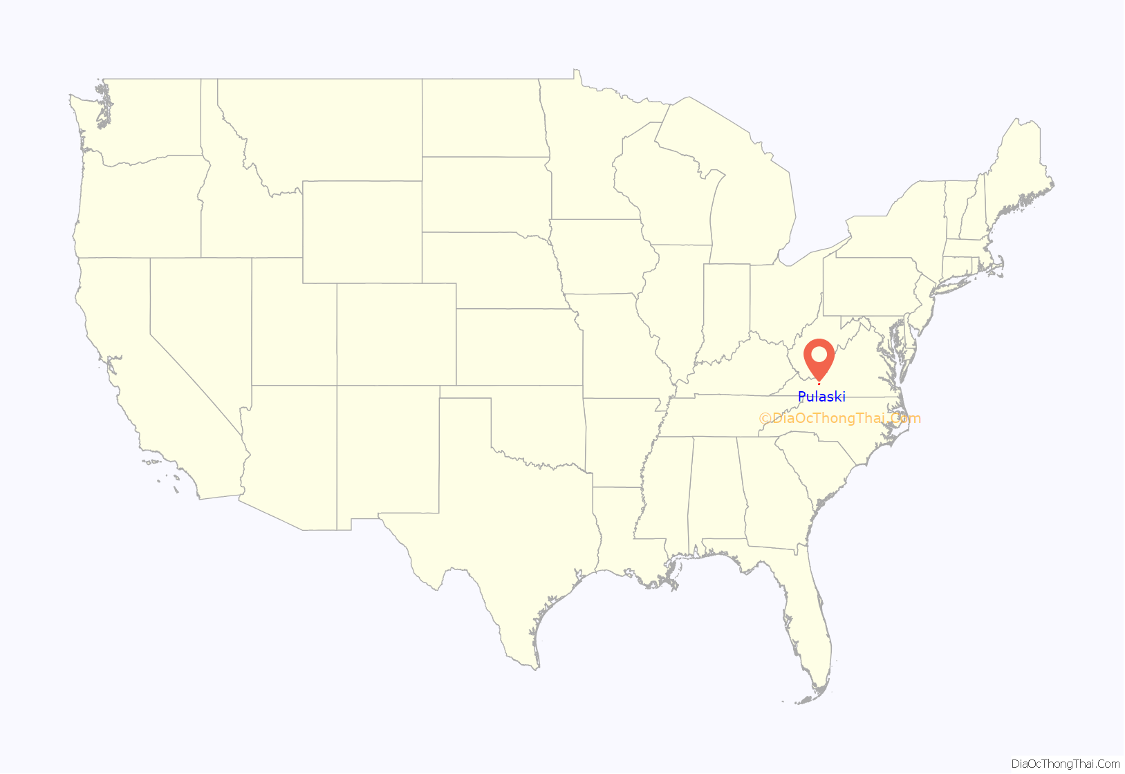
Pulaski location map. Where is Pulaski town?

History
Pulaski was incorporated as a town in 1886. The town was named for Count Casimir Pulaski, a Revolutionary War hero from Poland.
On April 8, 2011, two tornadoes hit Pulaski, which destroyed 31 buildings and damaged 77 others. The tornadoes caused an estimated $1.68 million in damage.
Historic sites
Calfee Athletic Field, Dalton Theatre Building, Pulaski County Courthouse, Pulaski Historic Commercial District, Pulaski Historic Residential District, and Pulaski South Historic Residential and Industrial District are listed on the National Register of Historic Places.
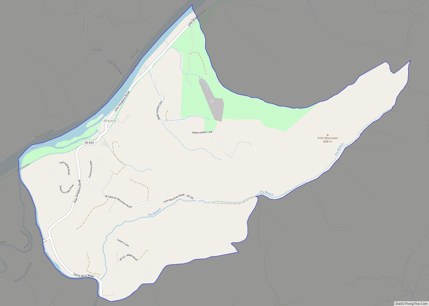
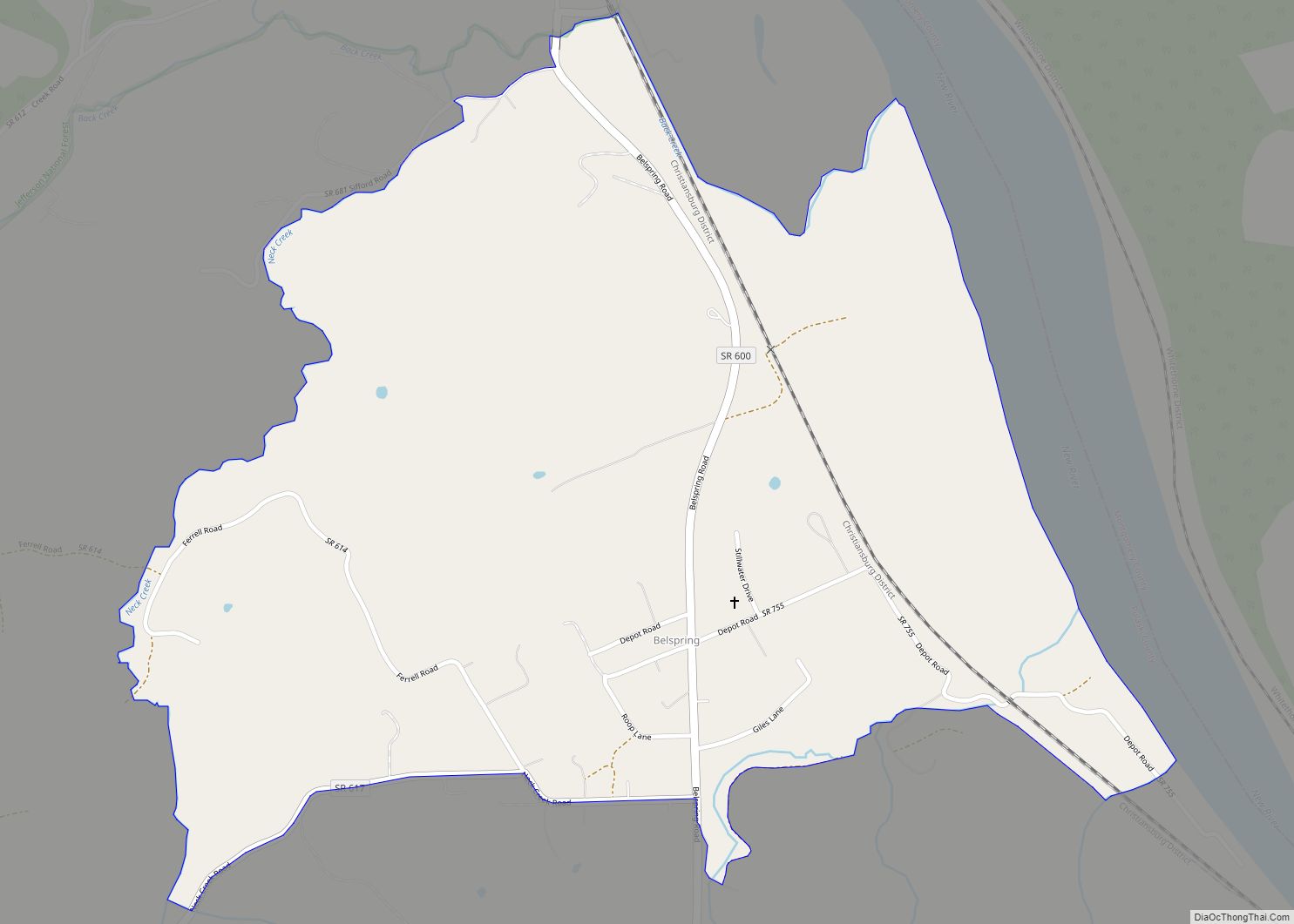
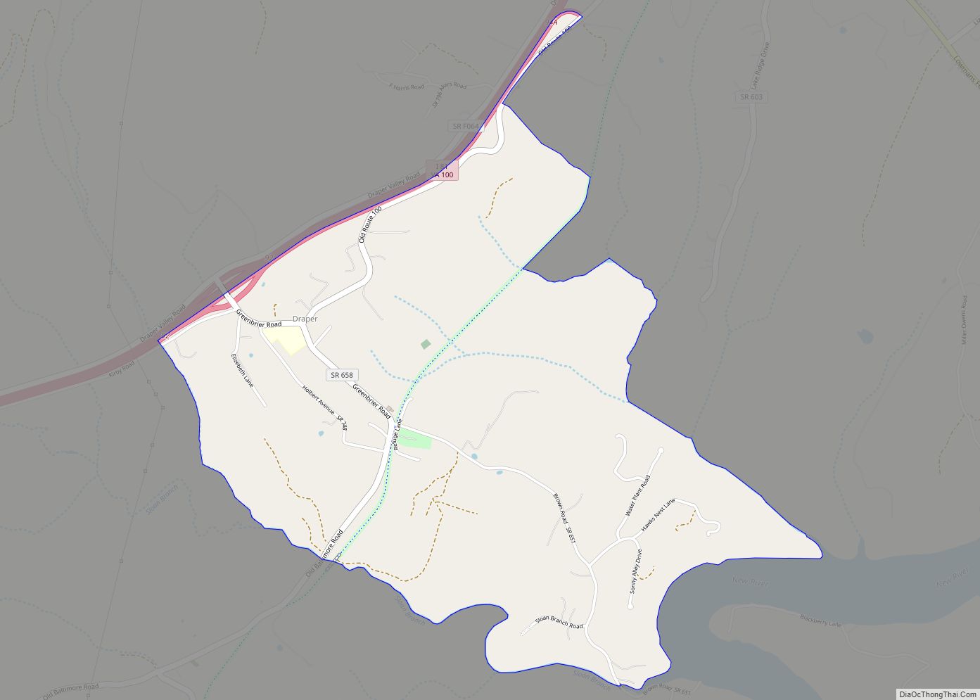
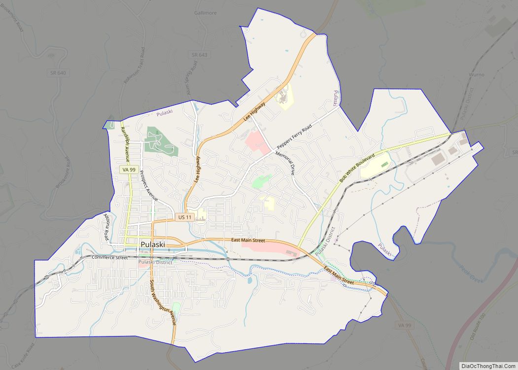
Pulaski Road Map
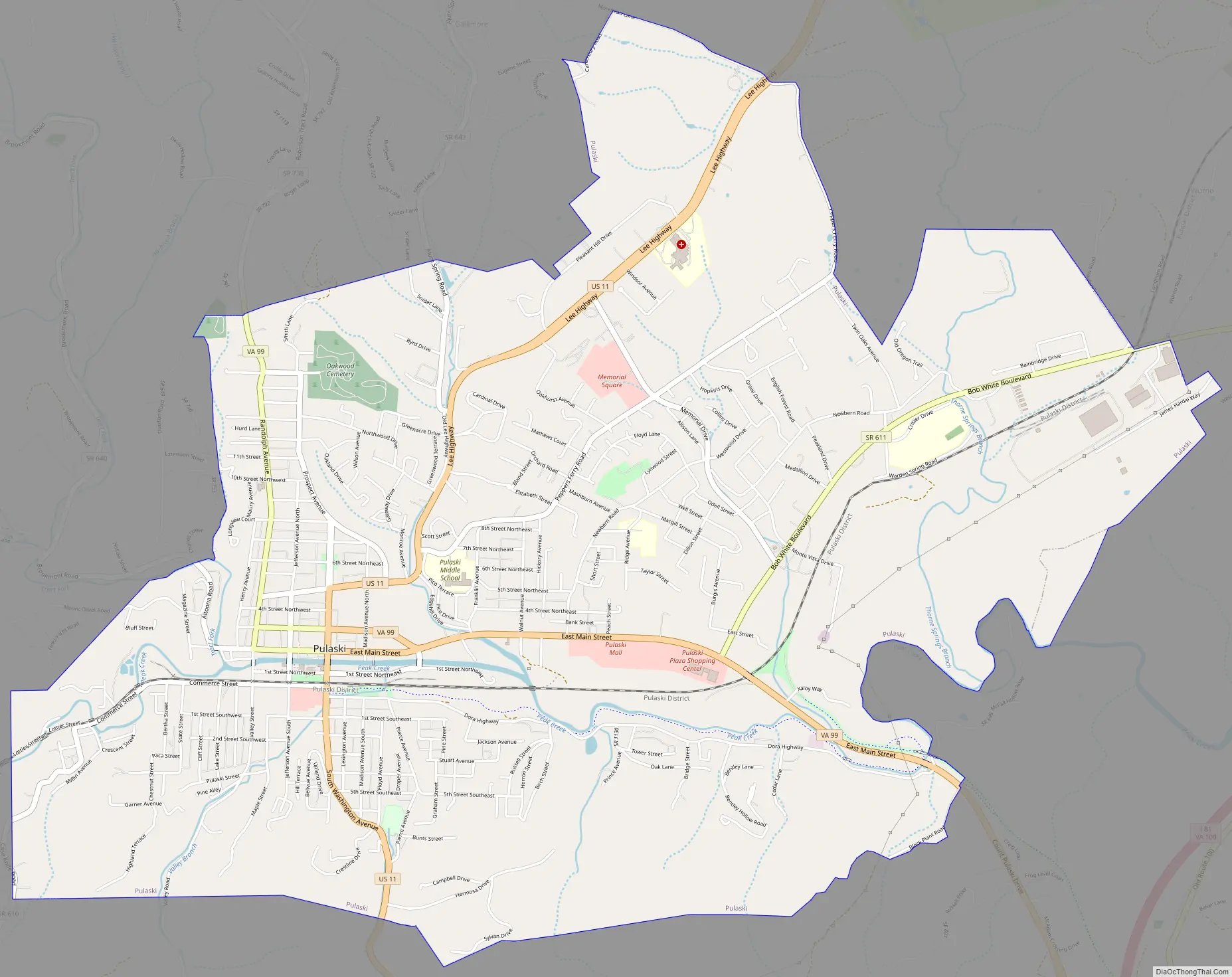
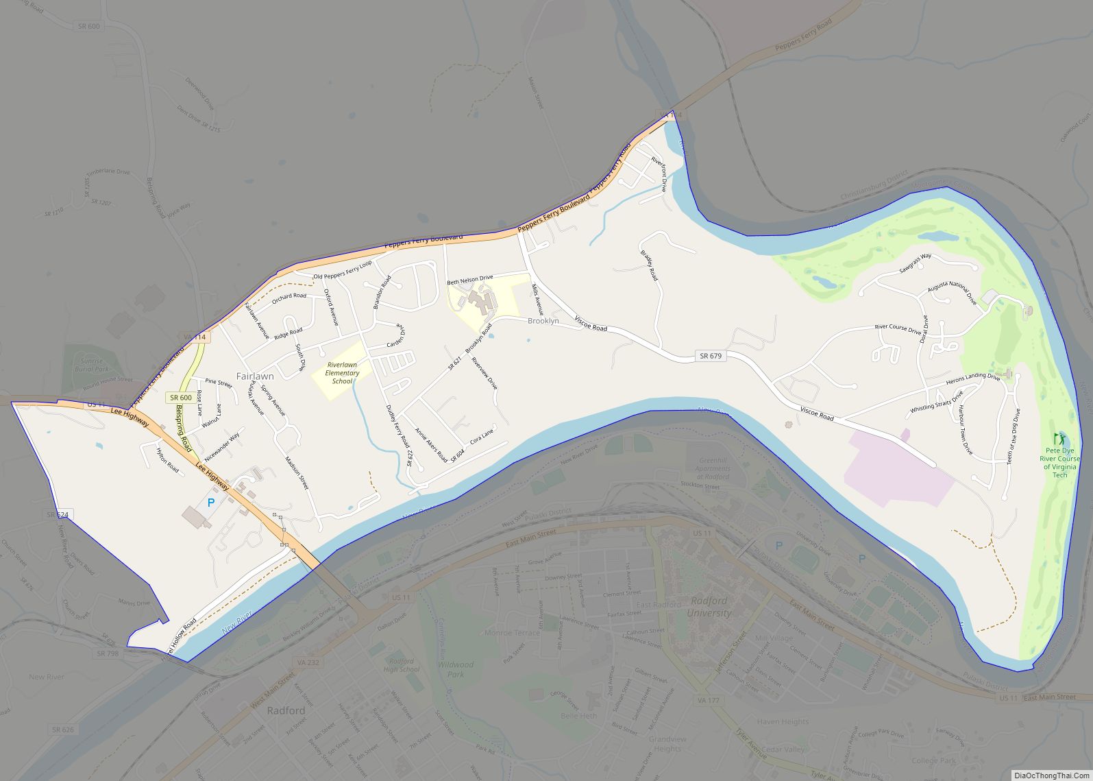
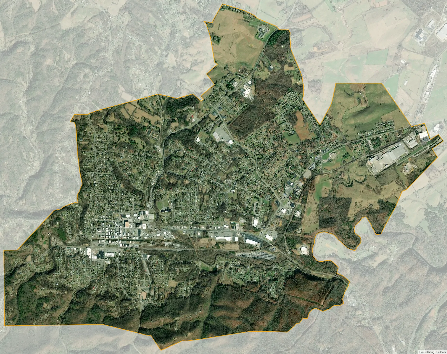
Pulaski city Satellite Map
Geography
Pulaski is located at 37°03′00″N 80°46′20″W / 37.050094°N 80.772193°W / 37.050094; -80.772193 (37.050094, −80.772193).
According to the United States Census Bureau, the town has a total area of 7.8 square miles (12.5 km), all of it land.
Climate
See also
Map of Virginia State and its subdivision:- Accomack
- Albemarle
- Alexandria
- Alleghany
- Amelia
- Amherst
- Appomattox
- Arlington
- Augusta
- Bath
- Bedford
- Bedford City
- Bland
- Botetourt
- Bristol
- Brunswick
- Buchanan
- Buckingham
- Buena Vista
- Campbell
- Caroline
- Carroll
- Charles City
- Charlotte
- Charlottesville
- Chesapeake
- Chesterfield
- Clarke
- Clifton Forge City
- Colonial Heights
- Covington
- Craig
- Culpeper
- Cumberland
- Danville
- Dickenson
- Dinwiddie
- Emporia
- Essex
- Fairfax
- Fairfax City
- Falls Church
- Fauquier
- Floyd
- Fluvanna
- Franklin
- Frederick
- Fredericksburg
- Galax
- Giles
- Gloucester
- Goochland
- Grayson
- Greene
- Greensville
- Halifax
- Hampton
- Hanover
- Harrisonburg
- Henrico
- Henry
- Highland
- Hopewell
- Isle of Wight
- James City
- King and Queen
- King George
- King William
- Lancaster
- Lee
- Lexington
- Loudoun
- Louisa
- Lunenburg
- Lynchburg
- Madison
- Manassas
- Manassas Park
- Martinsville
- Mathews
- Mecklenburg
- Middlesex
- Montgomery
- Nelson
- New Kent
- Newport News
- Norfolk
- Northampton
- Northumberland
- Norton
- Nottoway
- Orange
- Page
- Patrick
- Petersburg
- Pittsylvania
- Poquoson
- Portsmouth
- Powhatan
- Prince Edward
- Prince George
- Prince William
- Pulaski
- Radford
- Rappahannock
- Richmond
- Roanoke
- Roanoke City
- Rockbridge
- Rockingham
- Russell
- Salem
- Scott
- Shenandoah
- Smyth
- Southampton
- Spotsylvania
- Stafford
- Staunton
- Suffolk
- Surry
- Sussex
- Tazewell
- Virginia Beach
- Warren
- Washington
- Waynesboro
- Westmoreland
- Williamsburg
- Winchester
- Wise
- Wythe
- York
- Alabama
- Alaska
- Arizona
- Arkansas
- California
- Colorado
- Connecticut
- Delaware
- District of Columbia
- Florida
- Georgia
- Hawaii
- Idaho
- Illinois
- Indiana
- Iowa
- Kansas
- Kentucky
- Louisiana
- Maine
- Maryland
- Massachusetts
- Michigan
- Minnesota
- Mississippi
- Missouri
- Montana
- Nebraska
- Nevada
- New Hampshire
- New Jersey
- New Mexico
- New York
- North Carolina
- North Dakota
- Ohio
- Oklahoma
- Oregon
- Pennsylvania
- Rhode Island
- South Carolina
- South Dakota
- Tennessee
- Texas
- Utah
- Vermont
- Virginia
- Washington
- West Virginia
- Wisconsin
- Wyoming