Bellefonte is a home rule-class city in Greenup County, Kentucky, United States. The population was 888 at the 2010 census. Bellefonte is a part of the Huntington–Ashland, WV–KY–OH Metropolitan Statistical Area (MSA). In 2013, according to new boundary definitions, the MSA had a population of 361,580.
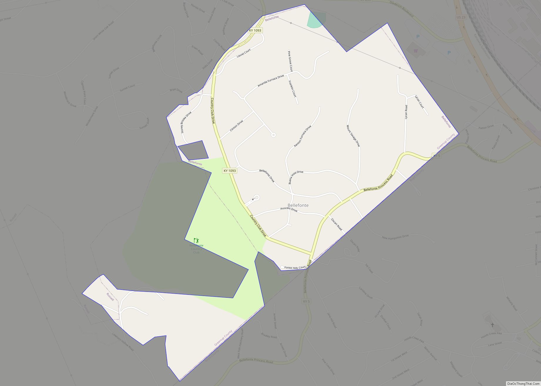
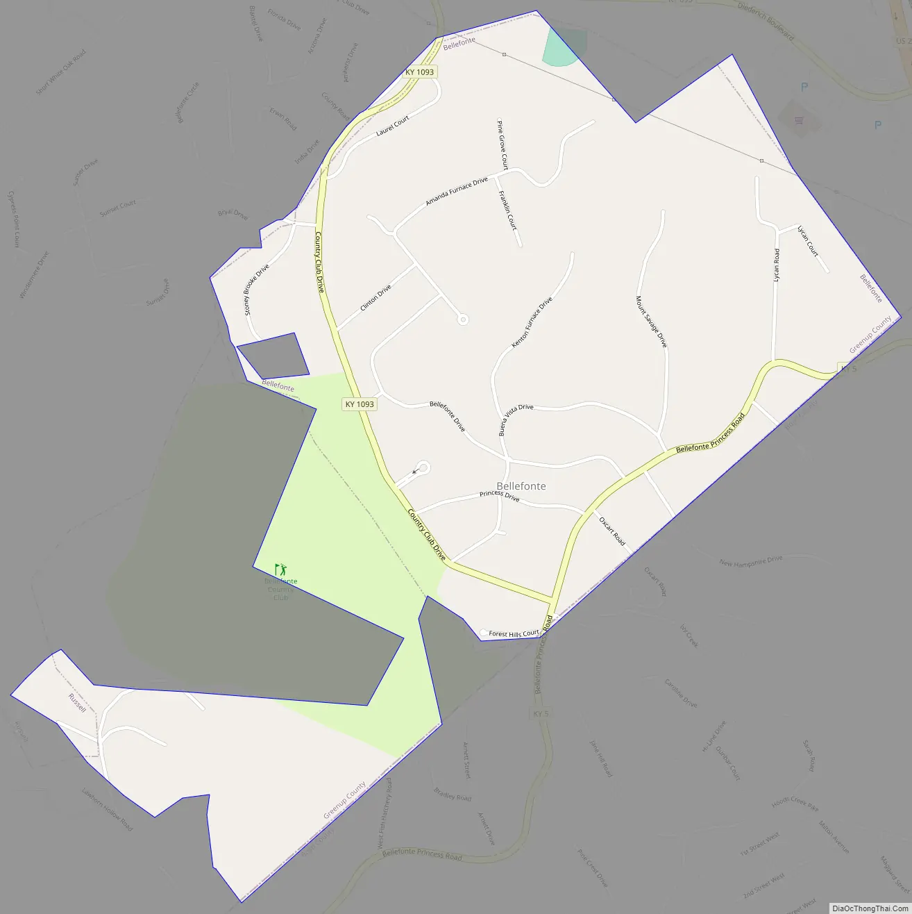
Being primarily residential, Bellefonte is a suburb of nearby Ashland, to which it is closely connected. Known for having tree-lined streets and exclusively upscale neighborhoods, the city is home to the private Bellefonte Country Club, which has an 18-hole golf course, a swimming pool, tennis courts and a ballroom.
Bellefonte was first incorporated on July 3, 1951, beginning with only 275 residents, and developed in the latter half of the 20th century. The exclusive nature of the city is evident by its demographic makeup. Within the corporate limits, there are virtually no residents under the poverty line.
Nearby, Our Lady of Bellefonte Hospital is named for its location, being just north of Bellefonte in Russell. In 1979, Ashland Inc. relocated its headquarters offices from Winchester Avenue in downtown Ashland to Russell near the hospital complex just north of Bellefonte. This modern business park complex was suitable for any Fortune 100 company such as Ashland, Inc. It comprised four glass office buildings: an executive building, two general office buildings and a combination warehouse/office building that contained printing presses and other service-type functions such as landscaping, etc. In 1999, the corporation moved its headquarters to Covington, Kentucky. Ashland, Inc. retained the office services building. The other structures, after a brief period as office facilities, were ultimately sold to nearby Our Lady of Bellefonte Hospital, and are known as Bellefonte Centre and Bellefonte Pavilion, and are used for physicians’ offices and clinics, hospital business offices, other hospital services and are rented to other businesses.
| Name: | Bellefonte city |
|---|---|
| LSAD Code: | 25 |
| LSAD Description: | city (suffix) |
| State: | Kentucky |
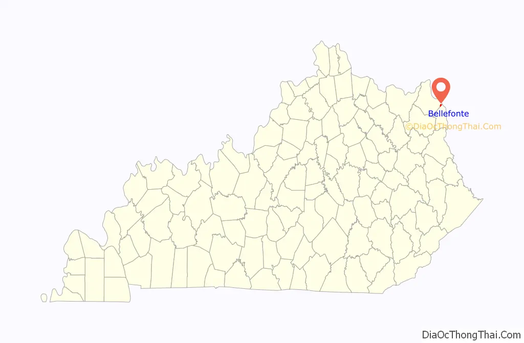
| County: | Greenup County |
| Incorporated: | July 3, 1951 |
| Elevation: | 636 ft (194 m) |
| Total Area: | 0.89 sq mi (2.29 km²) |
| Land Area: | 0.88 sq mi (2.28 km²) |
| Water Area: | 0.01 sq mi (0.01 km²) |
| Total Population: | 920 |
| Population Density: | 1,044.27/sq mi (403.35/km²) |
| ZIP code: | 41101 |
| FIPS code: | 2105374 |
| GNISfeature ID: | 0486804 |
| Website: | bellefonte.ky.gov |
Online Interactive Map
Click on ![]() to view map in "full screen" mode.
to view map in "full screen" mode.
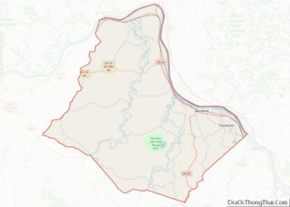
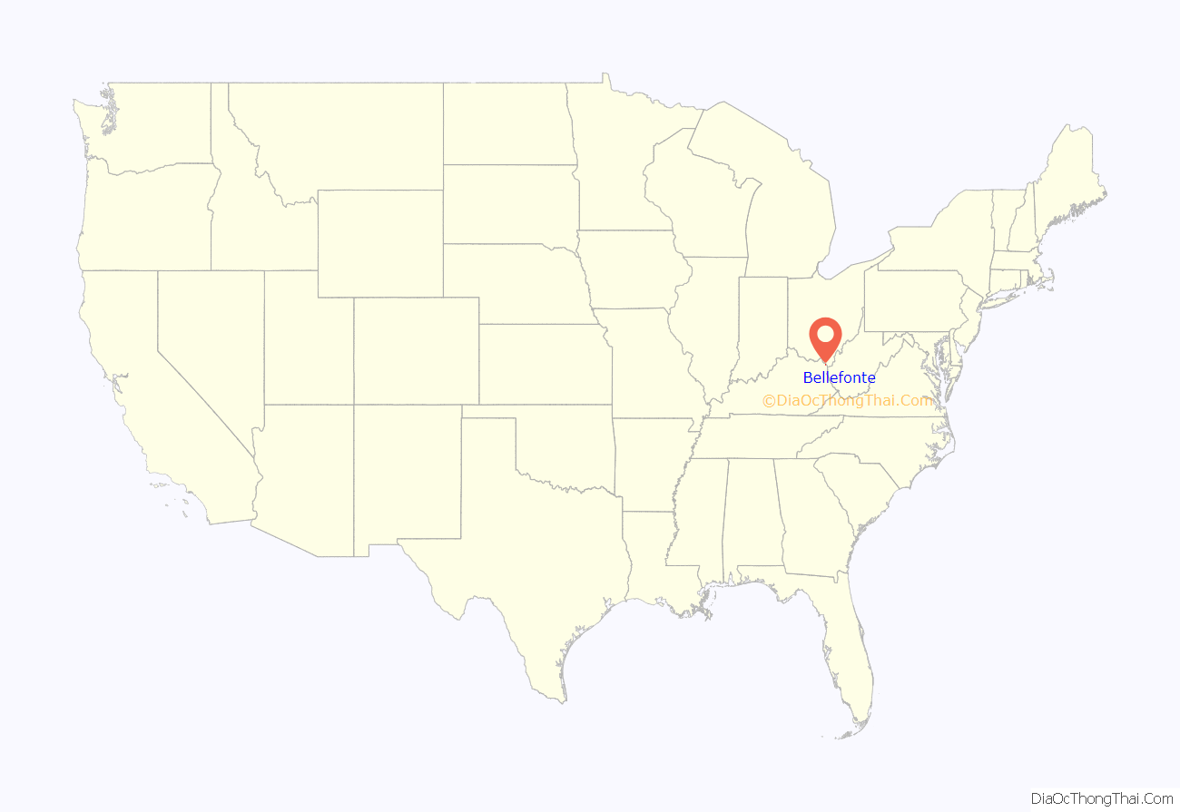
Bellefonte location map. Where is Bellefonte city?
Bellefonte Road Map
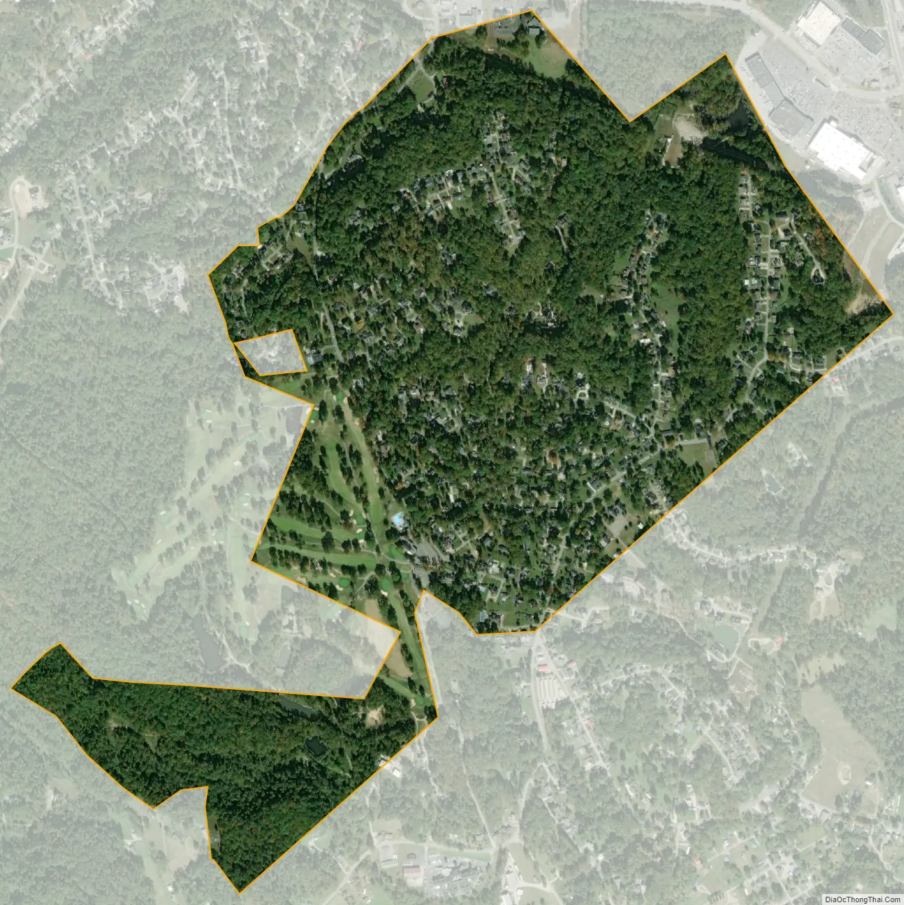
Bellefonte city Satellite Map
Geography
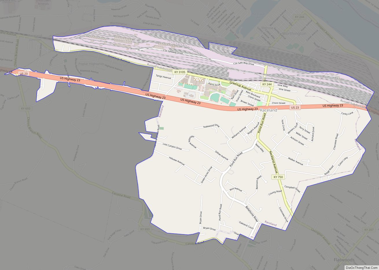
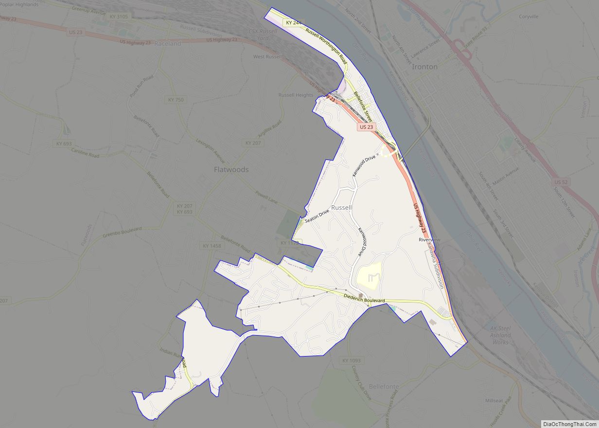
Bellefonte is located in eastern Greenup County at 38°29′37″N 82°41′18″W / 38.49361°N 82.68833°W / 38.49361; -82.68833 (38.493560, -82.688364). It is bordered to the north by the city of Russell and to the southeast by the unincorporated community of Westwood in Boyd County.
According to the United States Census Bureau, the city has a total area of 0.89 square miles (2.3 km), of which 0.004 square miles (0.01 km), or 0.51%, is water. The city sits on a plateau northwest of Ashland, centered on Kentucky Route 5 and Country Club Drive. Route 5 terminates to the northeast at U.S. Route 23 near the Boyd/Greenup county line, and downtown Ashland is 3 miles (5 km) to the east.
The older section of what would become Bellefonte was laid out in town lots and sold, beginning in 1918, by the Means and Russell Iron Company. It was originally part of the several thousand-acre Wheatley farm. It was named after the iron furnace that was operated there from 1826 to 1893, named the Bellefonte Furnace. Some remnants of the old furnace remain today in Bellefonte, as its hand-cut limestone blocks are used as a retaining wall along Oxcart Road, near the Community Presbyterian Church, which is located on the original site of the iron furnace. The name “Bellefonte” is of French origin, a combination of the words “belle” for ‘beautiful’ and “fonte” which has the meaning of ‘melting’, or in this case ‘foundry’, ‘forge’ or ‘smelting’, referring to the iron furnace located there. A few of the original log-built dwellings from the 1800s iron furnace settlement remain along Route 5, but have been upgraded to upscale residential homes.
The city is located on a one-mile wide belt of relatively flat land that is approximately 100 feet higher in elevation than the nearby Ohio River valley. The unusual topography which is easily noticeable on topographical maps and aerial satellite imagery was created by the ancient Teays River. Larger than the Ohio River, the Teays cut a mile wide valley through the area before being filled with glacial silt during the ice age. This belt of flat land extends from Catlettsburg where it leaves the Ohio River north to near Wurtland and includes parts of Ashland, Westwood, Bellefonte, Russell and Flatwoods. The Ohio River came after the ice age in its current path which created another valley just northeast of Bellefonte. This entire belt of flat land was once known as The Flatwoods beginning in the mid-19th century. The name was retained when it was applied to the nearby city of Flatwoods, just northwest of Bellefonte.
See also
Map of Kentucky State and its subdivision:- Adair
- Allen
- Anderson
- Ballard
- Barren
- Bath
- Bell
- Boone
- Bourbon
- Boyd
- Boyle
- Bracken
- Breathitt
- Breckinridge
- Bullitt
- Butler
- Caldwell
- Calloway
- Campbell
- Carlisle
- Carroll
- Carter
- Casey
- Christian
- Clark
- Clay
- Clinton
- Crittenden
- Cumberland
- Daviess
- Edmonson
- Elliott
- Estill
- Fayette
- Fleming
- Floyd
- Franklin
- Fulton
- Gallatin
- Garrard
- Grant
- Graves
- Grayson
- Green
- Greenup
- Hancock
- Hardin
- Harlan
- Harrison
- Hart
- Henderson
- Henry
- Hickman
- Hopkins
- Jackson
- Jefferson
- Jessamine
- Johnson
- Kenton
- Knott
- Knox
- Larue
- Laurel
- Lawrence
- Lee
- Leslie
- Letcher
- Lewis
- Lincoln
- Livingston
- Logan
- Lyon
- Madison
- Magoffin
- Marion
- Marshall
- Martin
- Mason
- McCracken
- McCreary
- McLean
- Meade
- Menifee
- Mercer
- Metcalfe
- Monroe
- Montgomery
- Morgan
- Muhlenberg
- Nelson
- Nicholas
- Ohio
- Oldham
- Owen
- Owsley
- Pendleton
- Perry
- Pike
- Powell
- Pulaski
- Robertson
- Rockcastle
- Rowan
- Russell
- Scott
- Shelby
- Simpson
- Spencer
- Taylor
- Todd
- Trigg
- Trimble
- Union
- Warren
- Washington
- Wayne
- Webster
- Whitley
- Wolfe
- Woodford
- Alabama
- Alaska
- Arizona
- Arkansas
- California
- Colorado
- Connecticut
- Delaware
- District of Columbia
- Florida
- Georgia
- Hawaii
- Idaho
- Illinois
- Indiana
- Iowa
- Kansas
- Kentucky
- Louisiana
- Maine
- Maryland
- Massachusetts
- Michigan
- Minnesota
- Mississippi
- Missouri
- Montana
- Nebraska
- Nevada
- New Hampshire
- New Jersey
- New Mexico
- New York
- North Carolina
- North Dakota
- Ohio
- Oklahoma
- Oregon
- Pennsylvania
- Rhode Island
- South Carolina
- South Dakota
- Tennessee
- Texas
- Utah
- Vermont
- Virginia
- Washington
- West Virginia
- Wisconsin
- Wyoming