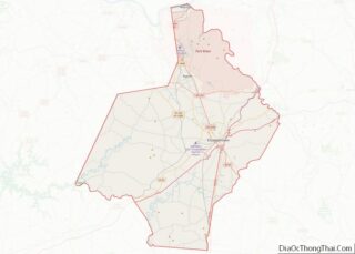
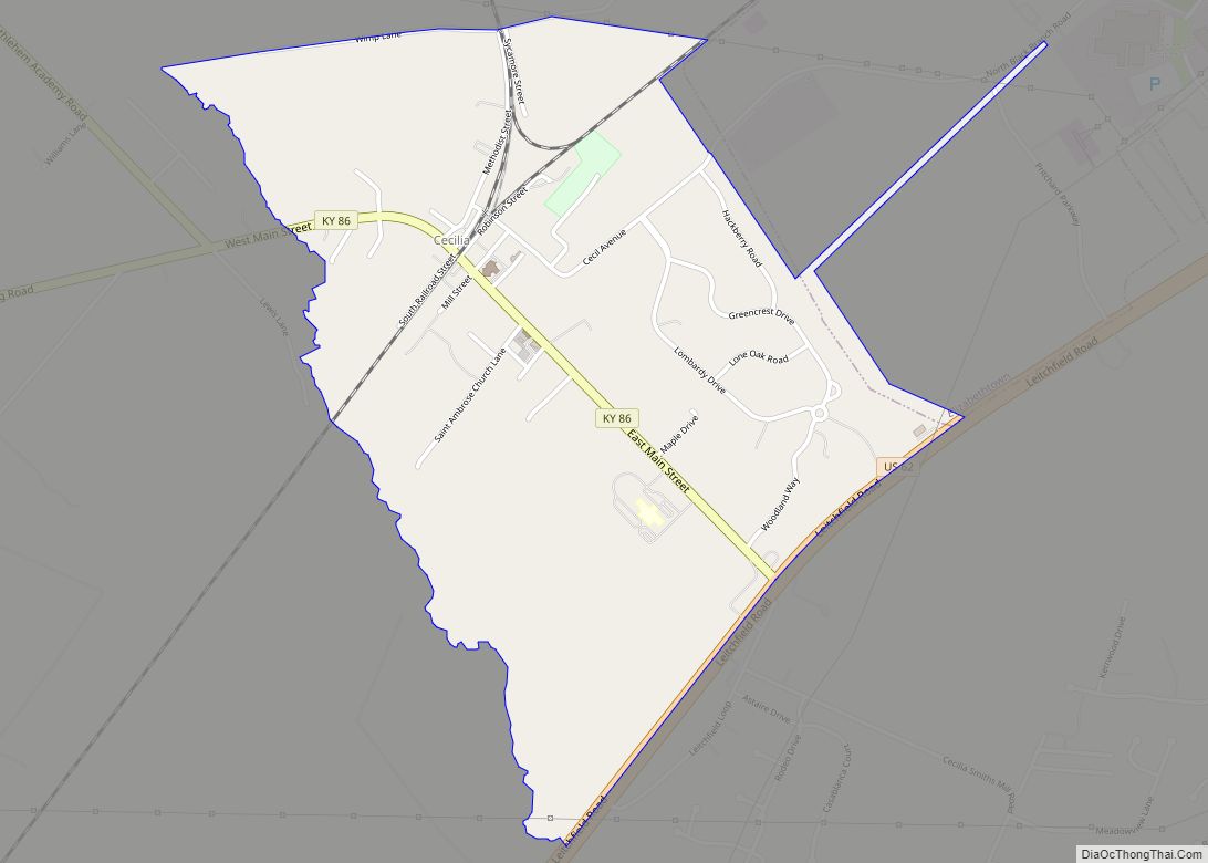
Cecilia is a census-designated place (CDP) and unincorporated community in Hardin County, Kentucky, United States. It is located 6 miles (10 km) west of Elizabethtown, the county seat. As of the 2010 census it had a population of 572.
The town was formerly called “Cecilian Junction” because of its location at the junction of the Illinois Central Railroad’s Louisville–Paducah main line and its branch to Hodgenville. (The line now belongs to the Paducah and Louisville Railway, and the branch is now truncated to Elizabethtown.) The community is part of the Elizabethtown–Fort Knox Metropolitan Statistical Area, and a significant part of the area served by the Cecilia post office is now within the Elizabethtown city limits.
Kentucky Route 86 runs through the town, ending just south of the town at an intersection with U.S. Route 62.
| Name: | Cecilia CDP |
|---|---|
| LSAD Code: | 57 |
| LSAD Description: | CDP (suffix) |
| State: | Kentucky |
| County: | Hardin County |
| Elevation: | 705 ft (215 m) |
| Total Area: | 1.44 sq mi (3.72 km²) |
| Land Area: | 1.43 sq mi (3.71 km²) |
| Water Area: | 0.01 sq mi (0.02 km²) |
| Total Population: | 575 |
| Population Density: | 401.82/sq mi (155.12/km²) |
| ZIP code: | 42724 |
| Area code: | 270 & 364 |
| FIPS code: | 2113636 |
| GNISfeature ID: | 489160 |
Online Interactive Map
Click on ![]() to view map in "full screen" mode.
to view map in "full screen" mode.
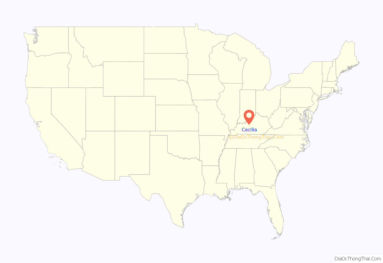
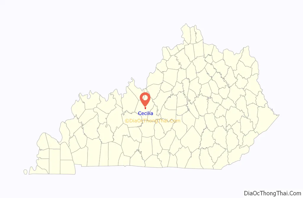
Cecilia location map. Where is Cecilia CDP?
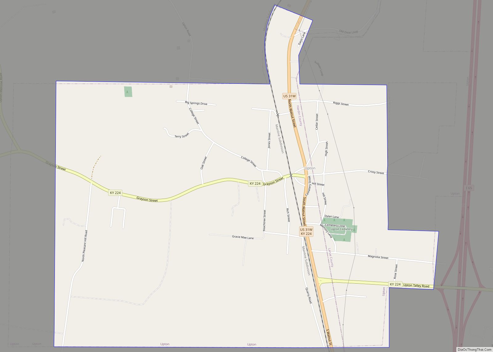
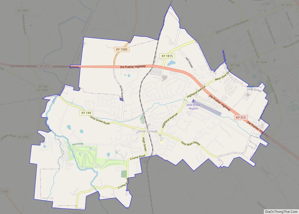
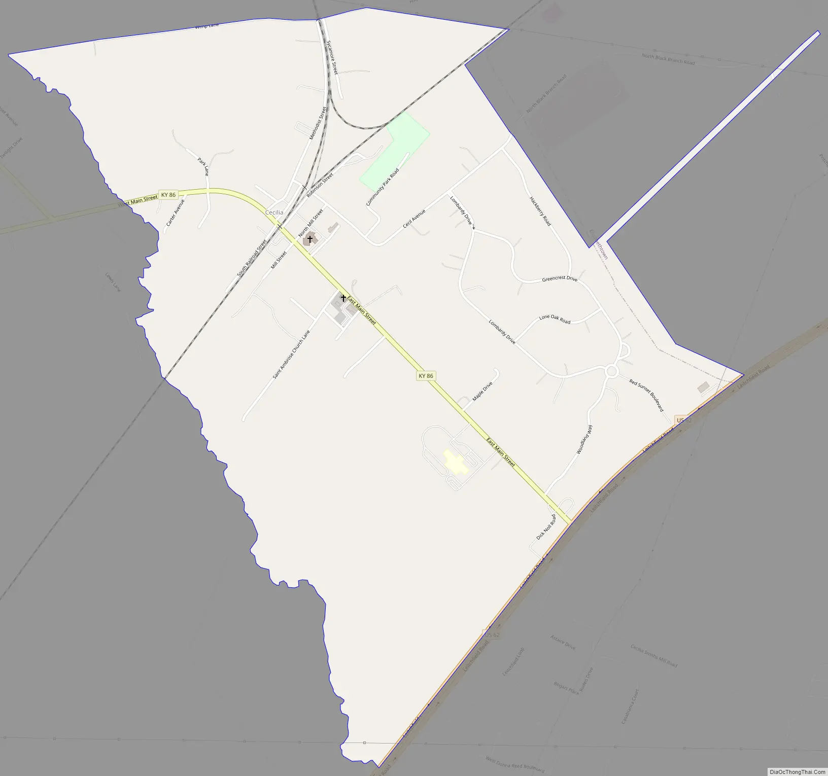
Cecilia Road Map
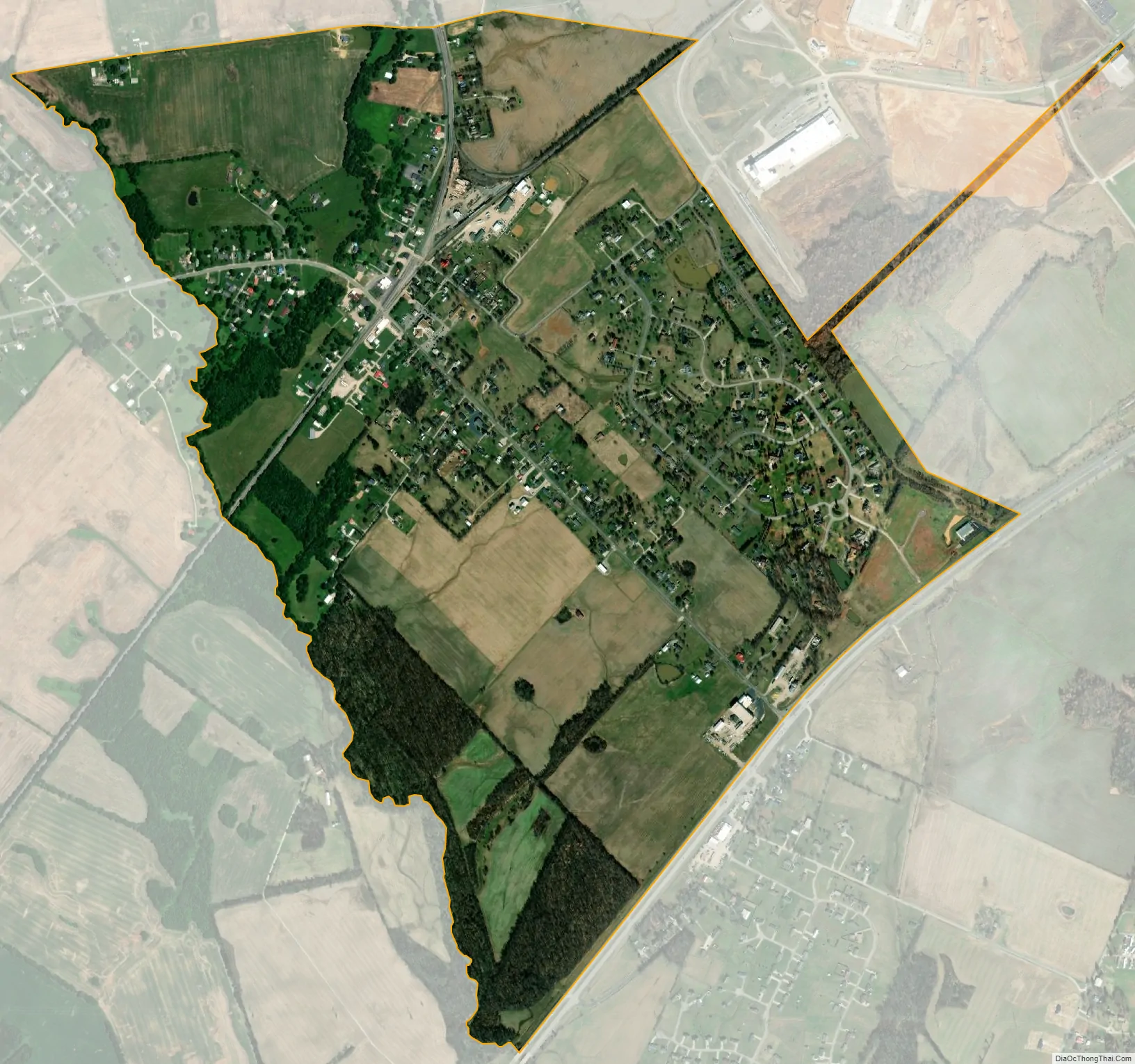
Cecilia city Satellite Map
See also
Map of Kentucky State and its subdivision:- Adair
- Allen
- Anderson
- Ballard
- Barren
- Bath
- Bell
- Boone
- Bourbon
- Boyd
- Boyle
- Bracken
- Breathitt
- Breckinridge
- Bullitt
- Butler
- Caldwell
- Calloway
- Campbell
- Carlisle
- Carroll
- Carter
- Casey
- Christian
- Clark
- Clay
- Clinton
- Crittenden
- Cumberland
- Daviess
- Edmonson
- Elliott
- Estill
- Fayette
- Fleming
- Floyd
- Franklin
- Fulton
- Gallatin
- Garrard
- Grant
- Graves
- Grayson
- Green
- Greenup
- Hancock
- Hardin
- Harlan
- Harrison
- Hart
- Henderson
- Henry
- Hickman
- Hopkins
- Jackson
- Jefferson
- Jessamine
- Johnson
- Kenton
- Knott
- Knox
- Larue
- Laurel
- Lawrence
- Lee
- Leslie
- Letcher
- Lewis
- Lincoln
- Livingston
- Logan
- Lyon
- Madison
- Magoffin
- Marion
- Marshall
- Martin
- Mason
- McCracken
- McCreary
- McLean
- Meade
- Menifee
- Mercer
- Metcalfe
- Monroe
- Montgomery
- Morgan
- Muhlenberg
- Nelson
- Nicholas
- Ohio
- Oldham
- Owen
- Owsley
- Pendleton
- Perry
- Pike
- Powell
- Pulaski
- Robertson
- Rockcastle
- Rowan
- Russell
- Scott
- Shelby
- Simpson
- Spencer
- Taylor
- Todd
- Trigg
- Trimble
- Union
- Warren
- Washington
- Wayne
- Webster
- Whitley
- Wolfe
- Woodford
- Alabama
- Alaska
- Arizona
- Arkansas
- California
- Colorado
- Connecticut
- Delaware
- District of Columbia
- Florida
- Georgia
- Hawaii
- Idaho
- Illinois
- Indiana
- Iowa
- Kansas
- Kentucky
- Louisiana
- Maine
- Maryland
- Massachusetts
- Michigan
- Minnesota
- Mississippi
- Missouri
- Montana
- Nebraska
- Nevada
- New Hampshire
- New Jersey
- New Mexico
- New York
- North Carolina
- North Dakota
- Ohio
- Oklahoma
- Oregon
- Pennsylvania
- Rhode Island
- South Carolina
- South Dakota
- Tennessee
- Texas
- Utah
- Vermont
- Virginia
- Washington
- West Virginia
- Wisconsin
- Wyoming