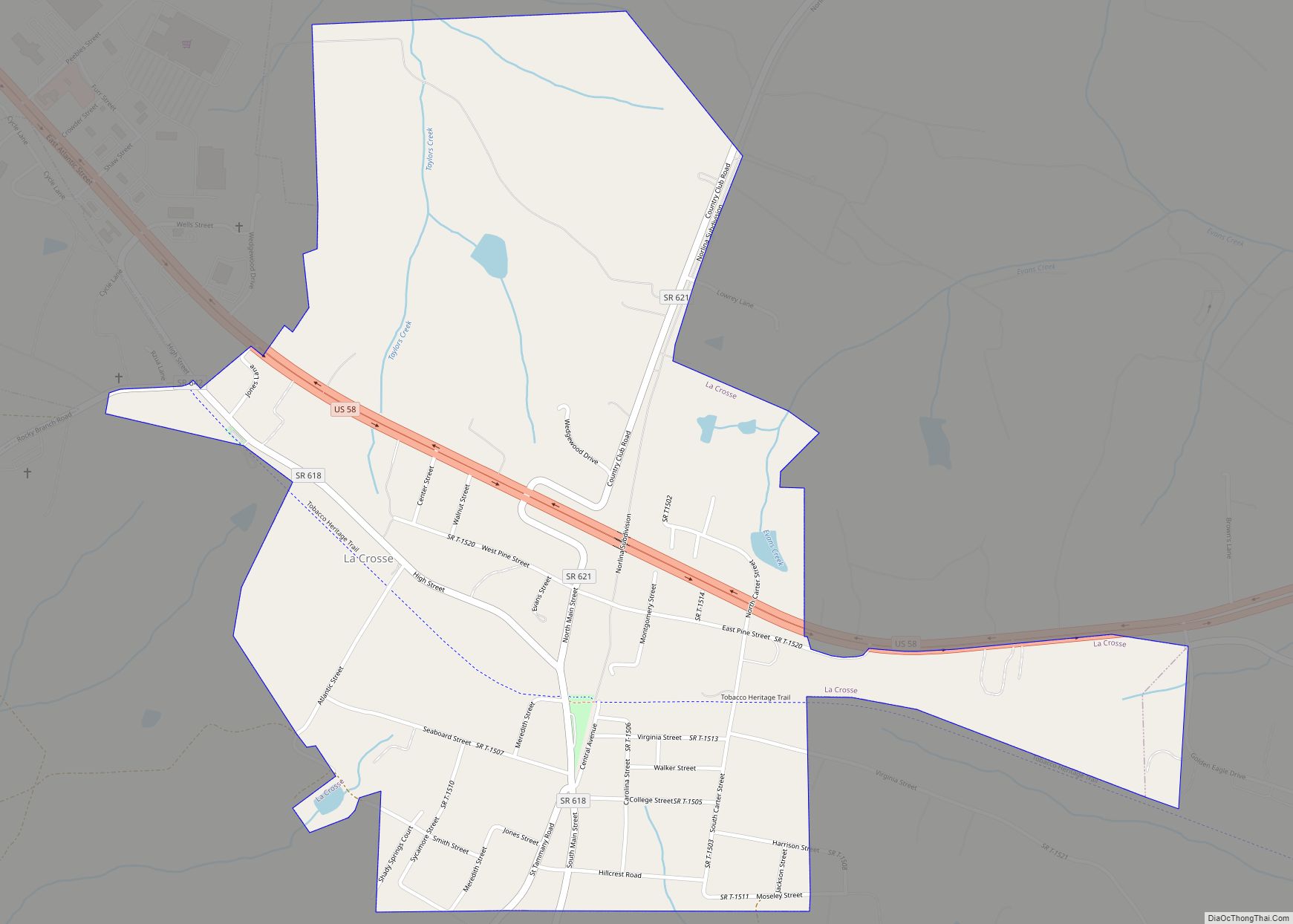
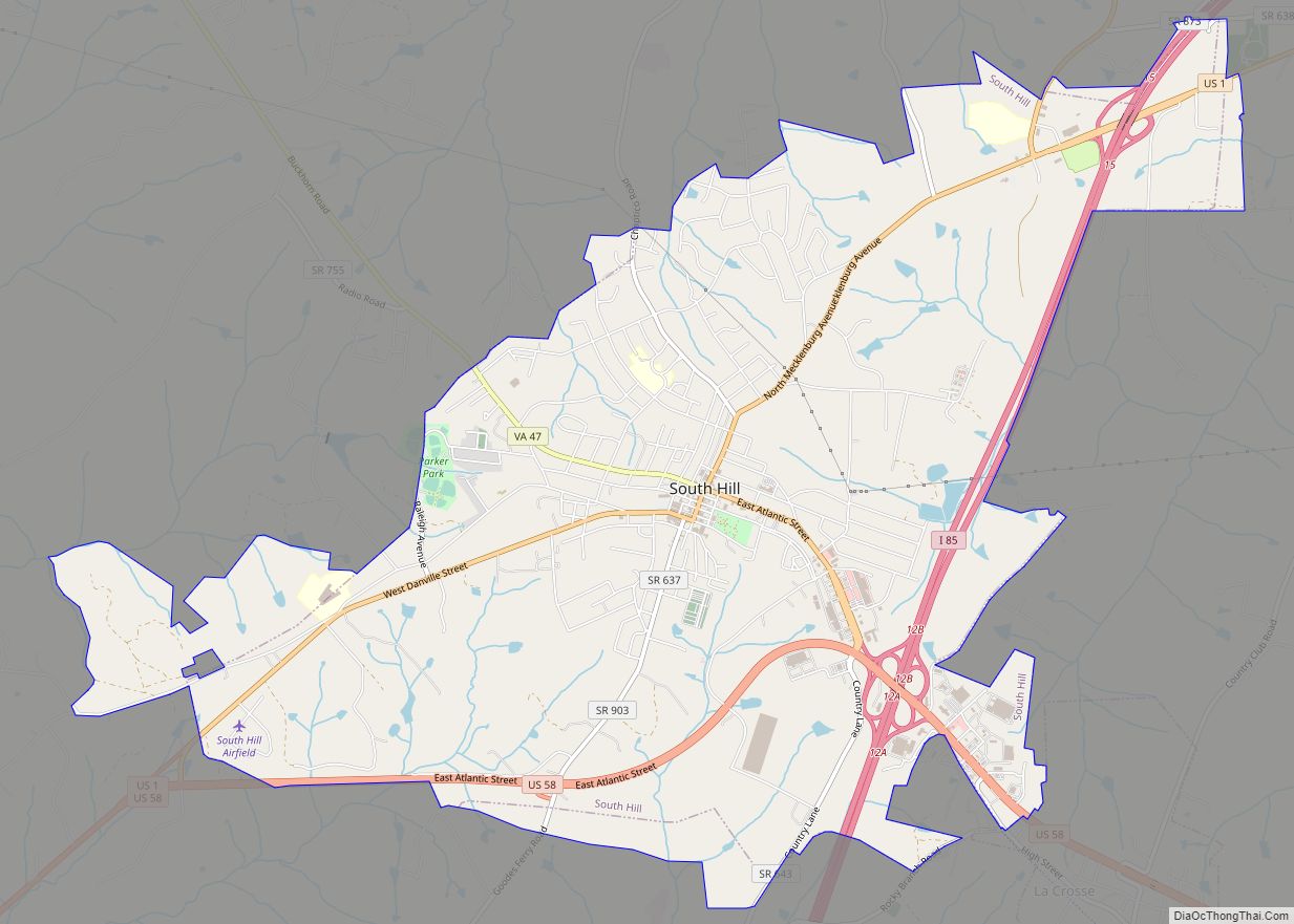
Bracey is a census-designated place (CDP) in Mecklenburg County, Virginia, United States. It is located next to South Hill, La Crosse, and Brodnax also in Mecklenburg County. The CDP had an estimated population of 1,554 in 2010.
| Name: | Bracey CDP |
|---|---|
| LSAD Code: | 57 |
| LSAD Description: | CDP (suffix) |
| State: | Virginia |
| County: | Mecklenburg County |
| Elevation: | 341 ft (104 m) |
| Total Area: | 1,981 |
| ZIP code: | 23919 |
| Area code: | 434 |
| FIPS code: | 5109064 |
| GNISfeature ID: | 1477137 |
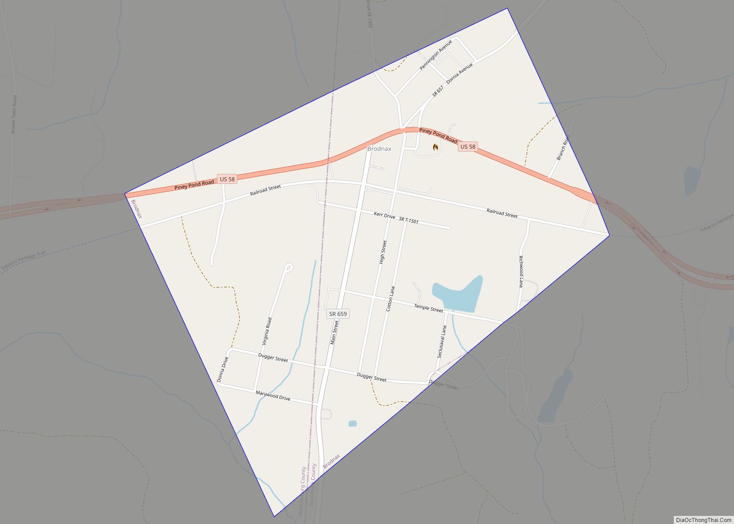
Online Interactive Map
Click on ![]() to view map in "full screen" mode.
to view map in "full screen" mode.
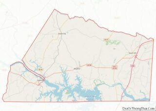
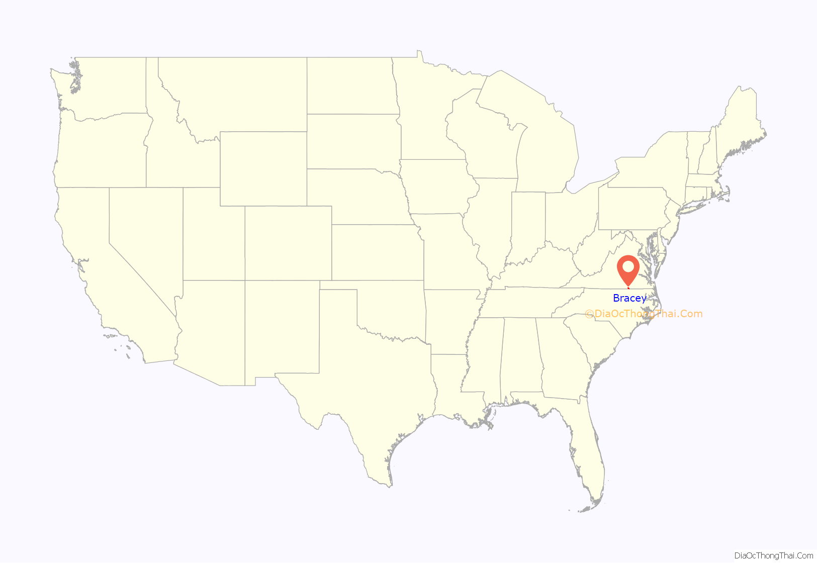
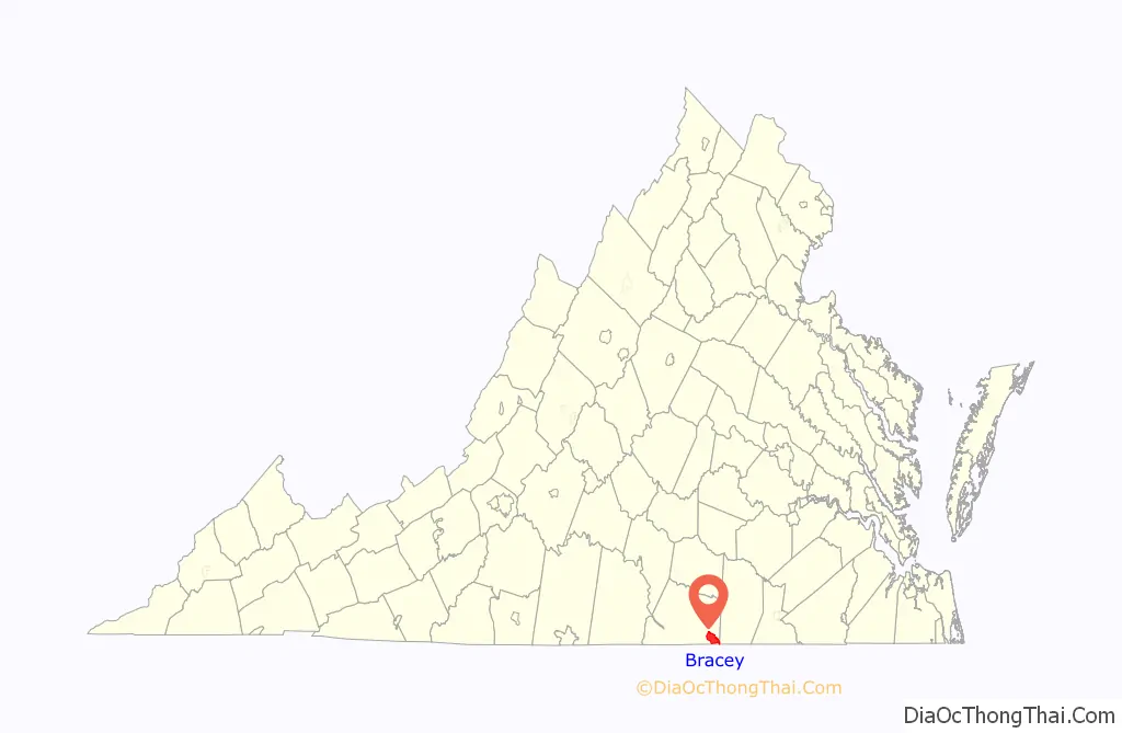
Bracey location map. Where is Bracey CDP?
History
Bracey is located along a former railroad mainline. The Richmond, Petersburg and Carolina Railroad, passing through Bracey from Petersburg, Virginia to Ridgeway Junction (today Norlina, North Carolina), was completed in 1900, at which point it was merged into the Seaboard Air Line (SAL). The railroad constructed a depot for Bracey, which was still standing as of 2021. By 1914, the population of Bracey was estimate by the railroad to be somewhere around 200. The line (dubbed the “S-line” after later mergers) continued to operate until the 1980s, and today Bracey is along the abandoned portion of the CSX Norlina Subdivision.
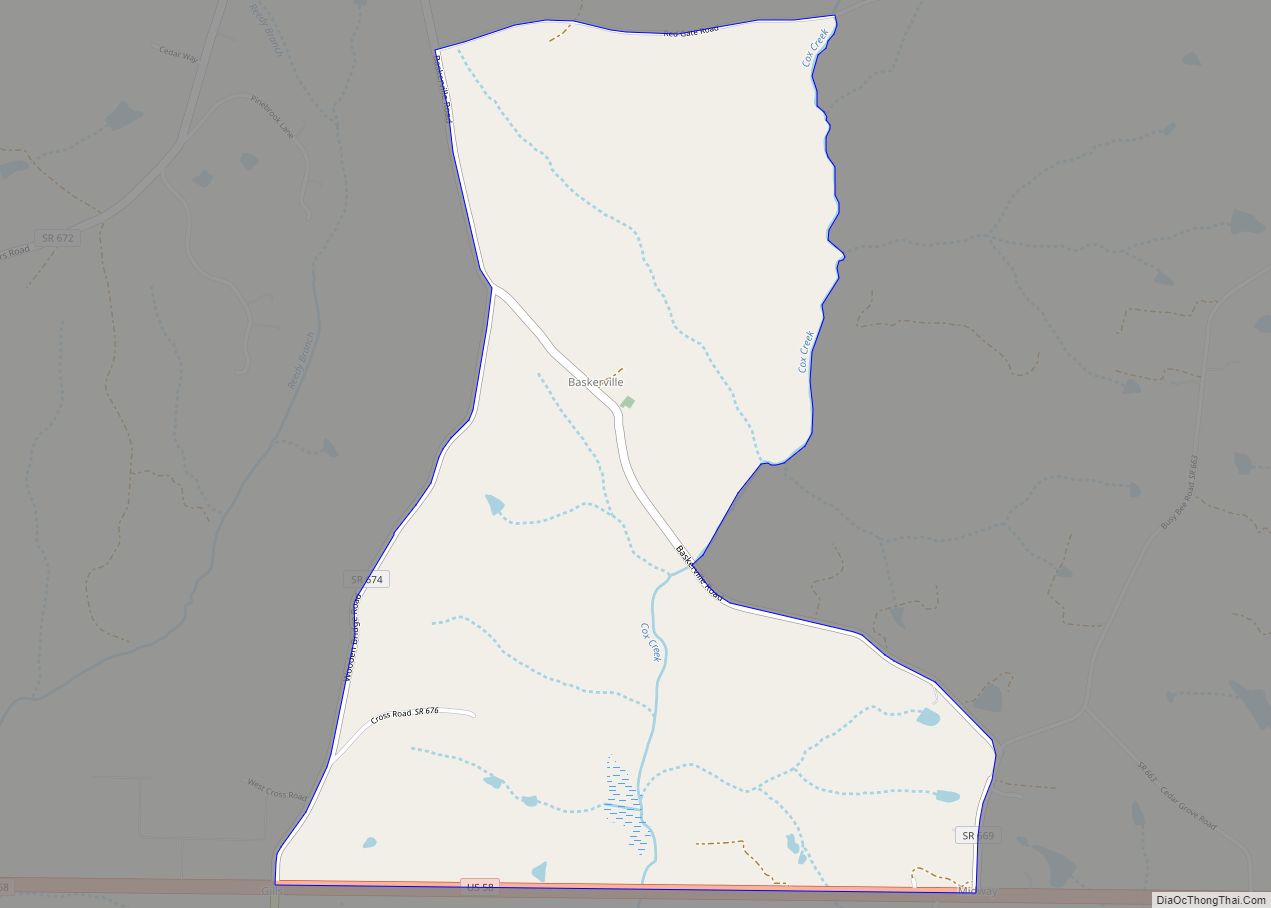
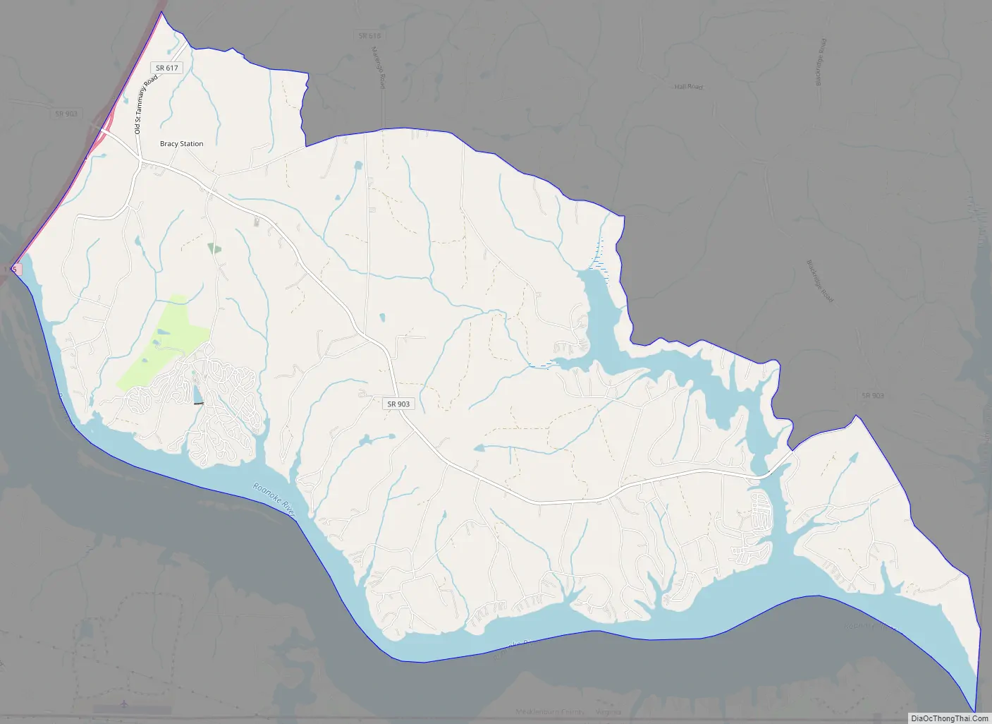
Bracey Road Map
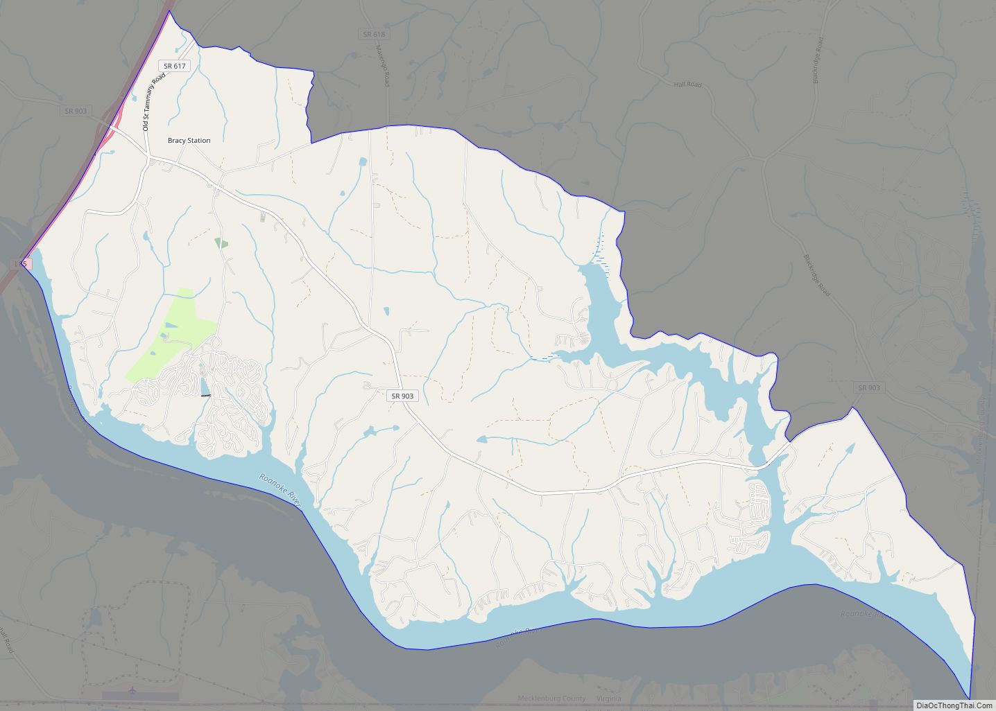
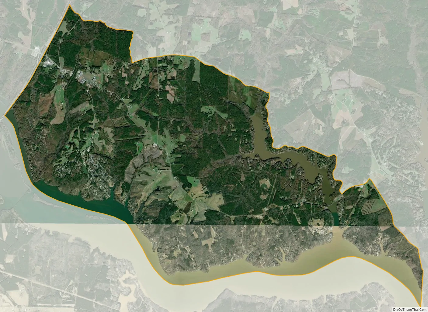
Bracey city Satellite Map
Geography
Bracey is located at 36°35′59″N 78°08′35″W / 36.599589°N 78.143051°W / 36.599589; -78.143051 (36.599589, −78.143051). It lies 341 feet (104 m) above sea level.
Bracey lies in the Piedmont area of Virginia and has a humid sub-tropical climate generalized by hot, humid summers and cool to chilly winters. The average annual rainfall is 42.7 inches with winter-time snowfall averaging 3.5 inches.
See also
Map of Virginia State and its subdivision:- Accomack
- Albemarle
- Alexandria
- Alleghany
- Amelia
- Amherst
- Appomattox
- Arlington
- Augusta
- Bath
- Bedford
- Bedford City
- Bland
- Botetourt
- Bristol
- Brunswick
- Buchanan
- Buckingham
- Buena Vista
- Campbell
- Caroline
- Carroll
- Charles City
- Charlotte
- Charlottesville
- Chesapeake
- Chesterfield
- Clarke
- Clifton Forge City
- Colonial Heights
- Covington
- Craig
- Culpeper
- Cumberland
- Danville
- Dickenson
- Dinwiddie
- Emporia
- Essex
- Fairfax
- Fairfax City
- Falls Church
- Fauquier
- Floyd
- Fluvanna
- Franklin
- Frederick
- Fredericksburg
- Galax
- Giles
- Gloucester
- Goochland
- Grayson
- Greene
- Greensville
- Halifax
- Hampton
- Hanover
- Harrisonburg
- Henrico
- Henry
- Highland
- Hopewell
- Isle of Wight
- James City
- King and Queen
- King George
- King William
- Lancaster
- Lee
- Lexington
- Loudoun
- Louisa
- Lunenburg
- Lynchburg
- Madison
- Manassas
- Manassas Park
- Martinsville
- Mathews
- Mecklenburg
- Middlesex
- Montgomery
- Nelson
- New Kent
- Newport News
- Norfolk
- Northampton
- Northumberland
- Norton
- Nottoway
- Orange
- Page
- Patrick
- Petersburg
- Pittsylvania
- Poquoson
- Portsmouth
- Powhatan
- Prince Edward
- Prince George
- Prince William
- Pulaski
- Radford
- Rappahannock
- Richmond
- Roanoke
- Roanoke City
- Rockbridge
- Rockingham
- Russell
- Salem
- Scott
- Shenandoah
- Smyth
- Southampton
- Spotsylvania
- Stafford
- Staunton
- Suffolk
- Surry
- Sussex
- Tazewell
- Virginia Beach
- Warren
- Washington
- Waynesboro
- Westmoreland
- Williamsburg
- Winchester
- Wise
- Wythe
- York
- Alabama
- Alaska
- Arizona
- Arkansas
- California
- Colorado
- Connecticut
- Delaware
- District of Columbia
- Florida
- Georgia
- Hawaii
- Idaho
- Illinois
- Indiana
- Iowa
- Kansas
- Kentucky
- Louisiana
- Maine
- Maryland
- Massachusetts
- Michigan
- Minnesota
- Mississippi
- Missouri
- Montana
- Nebraska
- Nevada
- New Hampshire
- New Jersey
- New Mexico
- New York
- North Carolina
- North Dakota
- Ohio
- Oklahoma
- Oregon
- Pennsylvania
- Rhode Island
- South Carolina
- South Dakota
- Tennessee
- Texas
- Utah
- Vermont
- Virginia
- Washington
- West Virginia
- Wisconsin
- Wyoming