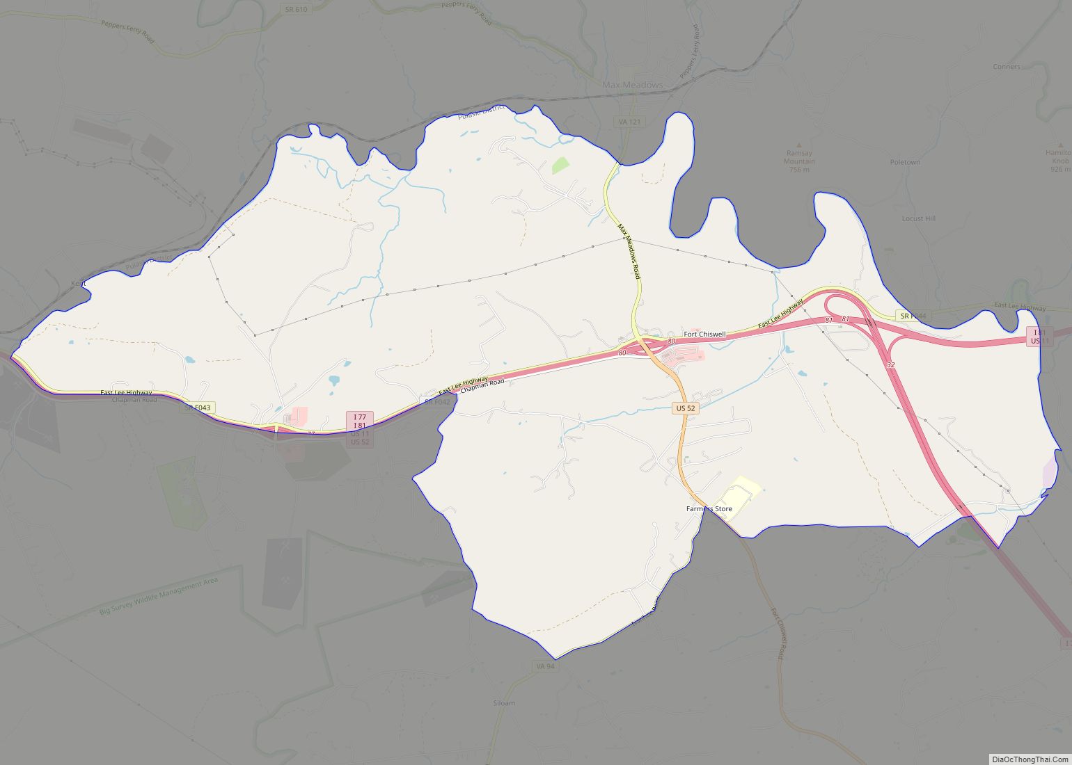
Fort Chiswell is a census-designated place (CDP) in Wythe County, Virginia, United States. The population was 939 at the 2010 census.
Fort Chiswell is located at the junction of Interstates 77 and 81. Going west from Fort Chiswell, drivers find themselves on a double wrong-way concurrency – one of few in the nation. Interstate 77 northbound is overlapped with Interstate 81 southbound, drivers will find themselves oriented the right way again when exiting I-81 back to I-77 north towards Charleston or south to Charlotte.
| Name: | Fort Chiswell CDP |
|---|---|
| LSAD Code: | 57 |
| LSAD Description: | CDP (suffix) |
| State: | Virginia |
| County: | Wythe County |
| Elevation: | 2,054 ft (626 m) |
| Total Area: | 12.1 sq mi (31.4 km²) |
| Land Area: | 12.1 sq mi (31.4 km²) |
| Water Area: | 0.0 sq mi (0.0 km²) |
| Total Population: | 939 |
| Population Density: | 78/sq mi (30/km²) |
| ZIP code: | 24360 |
| Area code: | 276 |
| FIPS code: | 5129040 |
| GNISfeature ID: | 1495556 |
Online Interactive Map
Click on ![]() to view map in "full screen" mode.
to view map in "full screen" mode.
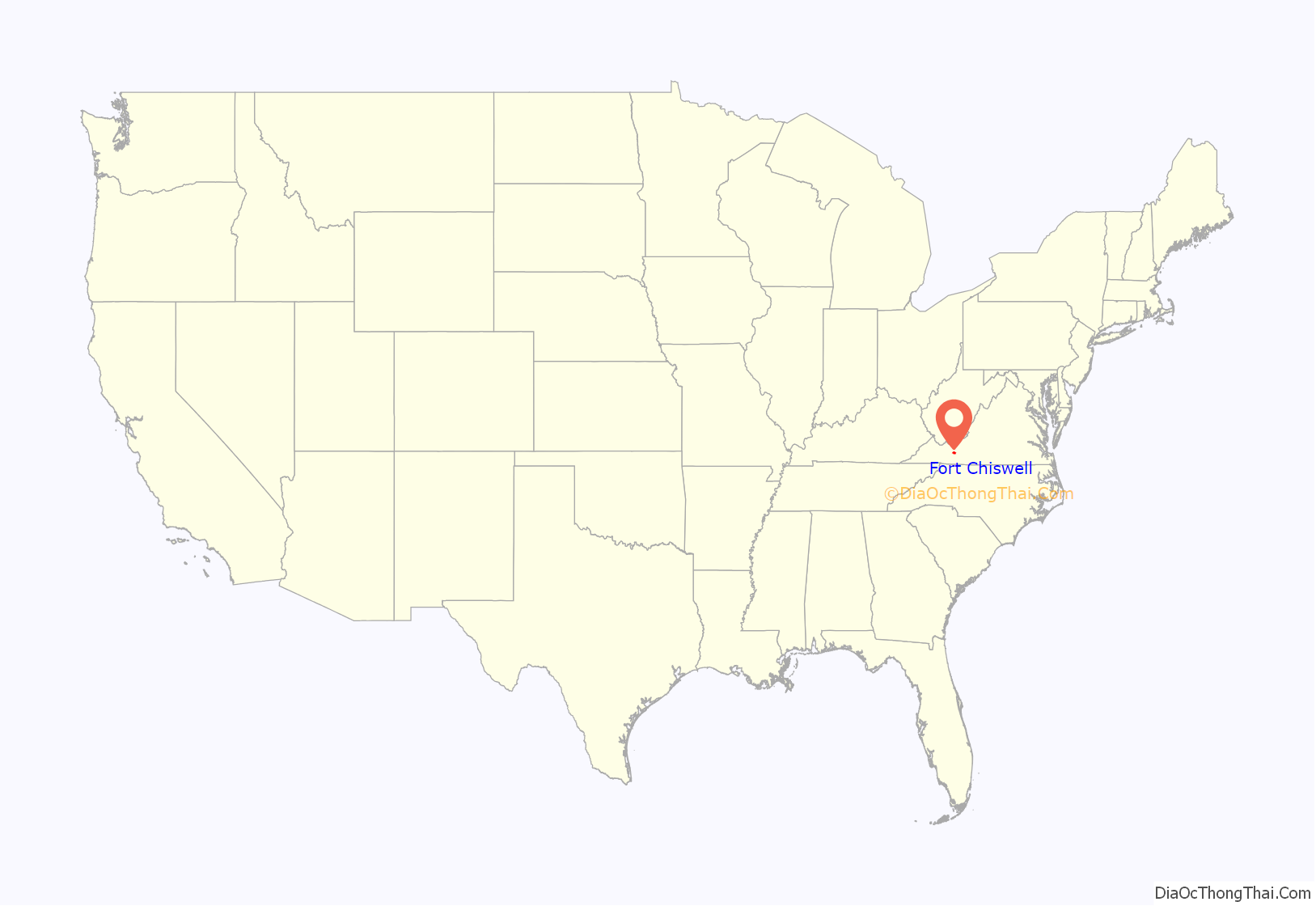
Fort Chiswell location map. Where is Fort Chiswell CDP?

History
The community name is derived from a frontier fort built in 1758 as an outpost during the French and Indian War. The fort, which was of strategic importance during the American Revolution as the guardpost over a small deposit of lead used to mold bullets, was situated at the junction of the Great Trading Path and the Richmond Road, near the New River. The fort fell into disrepair in the 18th century as both the county seat and courthouse were moved from Fort Chiswell to the county seat of Wytheville, 12 miles to the west. The remaining foundations of the Fort and its surrounding buildings were completely covered over during the construction of I-77 in Wythe County during the 1970s. There is a pyramid shaped historical marker of sandstone situated approximately 200 yards west-northwest of the fort’s original location next to the old chicken house.
The Fort Chiswell Site, The Mansion at Fort Chiswell, and McGavock Family Cemetery are listed on the National Register of Historic Places.
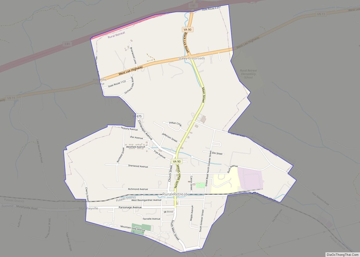
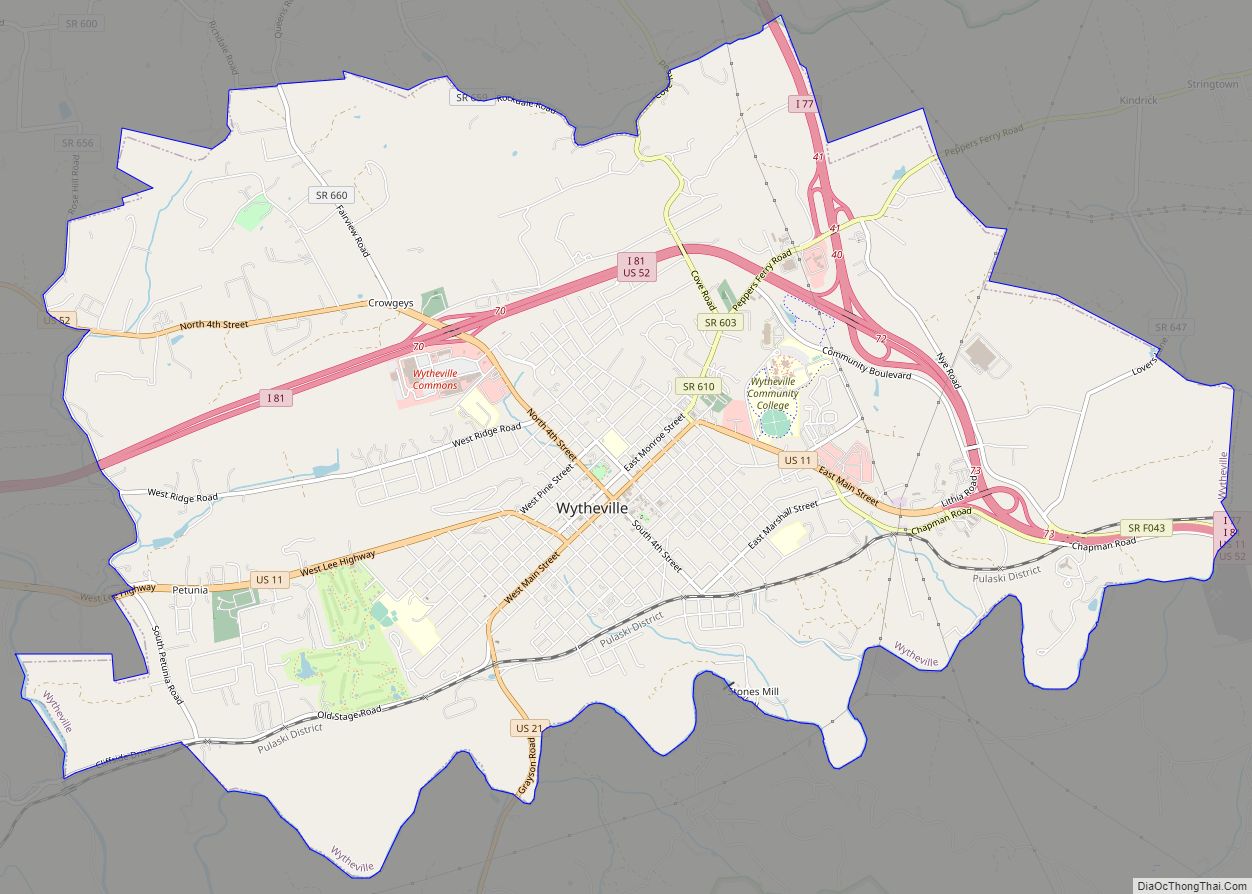
Fort Chiswell Road Map

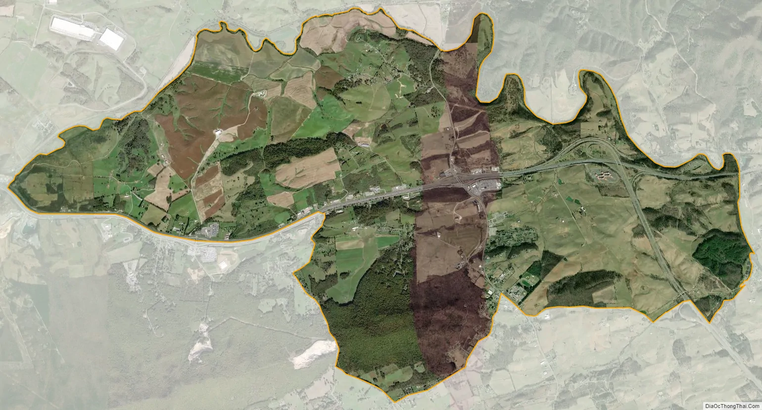
Fort Chiswell city Satellite Map
Geography
Fort Chiswell is located at 36°56′37″N 80°56′25″W / 36.94361°N 80.94028°W / 36.94361; -80.94028 (36.943670, −80.940335).
According to the United States Census Bureau, the CDP has a total area of 12.1 square miles (31.3 km), all land.
See also
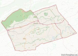
Map of Virginia State and its subdivision:- Accomack
- Albemarle
- Alexandria
- Alleghany
- Amelia
- Amherst
- Appomattox
- Arlington
- Augusta
- Bath
- Bedford
- Bedford City
- Bland
- Botetourt
- Bristol
- Brunswick
- Buchanan
- Buckingham
- Buena Vista
- Campbell
- Caroline
- Carroll
- Charles City
- Charlotte
- Charlottesville
- Chesapeake
- Chesterfield
- Clarke
- Clifton Forge City
- Colonial Heights
- Covington
- Craig
- Culpeper
- Cumberland
- Danville
- Dickenson
- Dinwiddie
- Emporia
- Essex
- Fairfax
- Fairfax City
- Falls Church
- Fauquier
- Floyd
- Fluvanna
- Franklin
- Frederick
- Fredericksburg
- Galax
- Giles
- Gloucester
- Goochland
- Grayson
- Greene
- Greensville
- Halifax
- Hampton
- Hanover
- Harrisonburg
- Henrico
- Henry
- Highland
- Hopewell
- Isle of Wight
- James City
- King and Queen
- King George
- King William
- Lancaster
- Lee
- Lexington
- Loudoun
- Louisa
- Lunenburg
- Lynchburg
- Madison
- Manassas
- Manassas Park
- Martinsville
- Mathews
- Mecklenburg
- Middlesex
- Montgomery
- Nelson
- New Kent
- Newport News
- Norfolk
- Northampton
- Northumberland
- Norton
- Nottoway
- Orange
- Page
- Patrick
- Petersburg
- Pittsylvania
- Poquoson
- Portsmouth
- Powhatan
- Prince Edward
- Prince George
- Prince William
- Pulaski
- Radford
- Rappahannock
- Richmond
- Roanoke
- Roanoke City
- Rockbridge
- Rockingham
- Russell
- Salem
- Scott
- Shenandoah
- Smyth
- Southampton
- Spotsylvania
- Stafford
- Staunton
- Suffolk
- Surry
- Sussex
- Tazewell
- Virginia Beach
- Warren
- Washington
- Waynesboro
- Westmoreland
- Williamsburg
- Winchester
- Wise
- Wythe
- York
- Alabama
- Alaska
- Arizona
- Arkansas
- California
- Colorado
- Connecticut
- Delaware
- District of Columbia
- Florida
- Georgia
- Hawaii
- Idaho
- Illinois
- Indiana
- Iowa
- Kansas
- Kentucky
- Louisiana
- Maine
- Maryland
- Massachusetts
- Michigan
- Minnesota
- Mississippi
- Missouri
- Montana
- Nebraska
- Nevada
- New Hampshire
- New Jersey
- New Mexico
- New York
- North Carolina
- North Dakota
- Ohio
- Oklahoma
- Oregon
- Pennsylvania
- Rhode Island
- South Carolina
- South Dakota
- Tennessee
- Texas
- Utah
- Vermont
- Virginia
- Washington
- West Virginia
- Wisconsin
- Wyoming