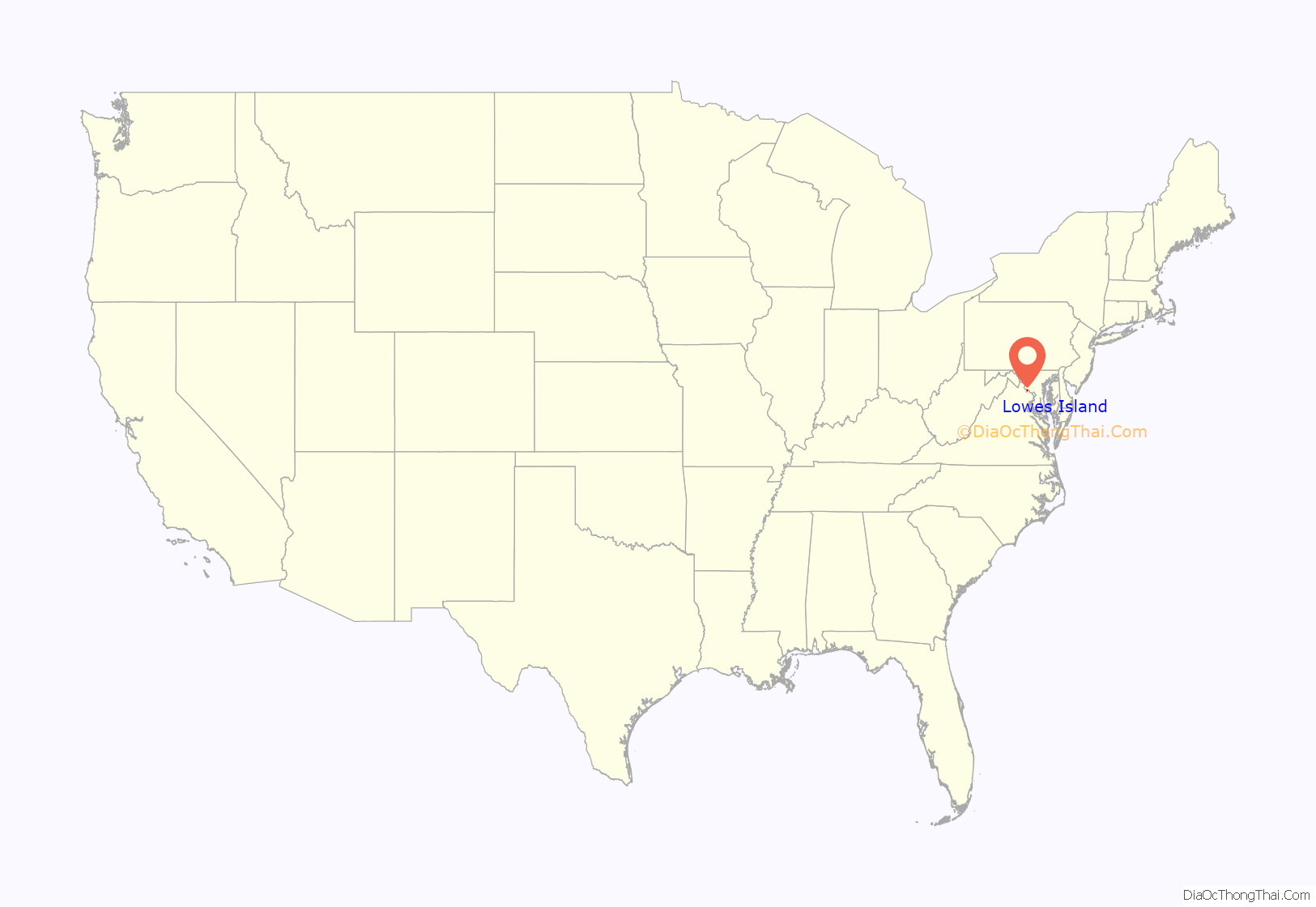
Lowes Island is a census-designated place (CDP) in Loudoun County, Virginia, United States. The population as of the 2010 United States Census was 10,756. Along with nearby Countryside and Cascades, it is considered one of the three main components of the Potomac Falls community (ZIP code 20165).
The community takes its name from an island on the south shore of the Potomac River, now home to the Trump National Golf Club Washington, D.C., owned by Donald Trump. The club was formerly the Lowes Island Club; Trump purchased it in 2009. Located on the site is the “River of Blood” monument erected by Trump, which celebrates an American Civil War battle that never happened.
| Name: | Lowes Island CDP |
|---|---|
| LSAD Code: | 57 |
| LSAD Description: | CDP (suffix) |
| State: | Virginia |
| County: | Loudoun County |
| Elevation: | 300 ft (90 m) |
| Total Area: | 3.16 sq mi (8.19 km²) |
| Land Area: | 3.02 sq mi (7.81 km²) |
| Water Area: | 0.14 sq mi (0.37 km²) |
| Total Population: | 10,756 |
| Population Density: | 3,565/sq mi (1,376.4/km²) |
| ZIP code: | 20165 (Sterling) |
| FIPS code: | 5147296 |
| GNISfeature ID: | 2584870 |
Online Interactive Map
Click on ![]() to view map in "full screen" mode.
to view map in "full screen" mode.
Lowes Island location map. Where is Lowes Island CDP?
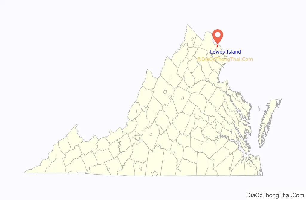
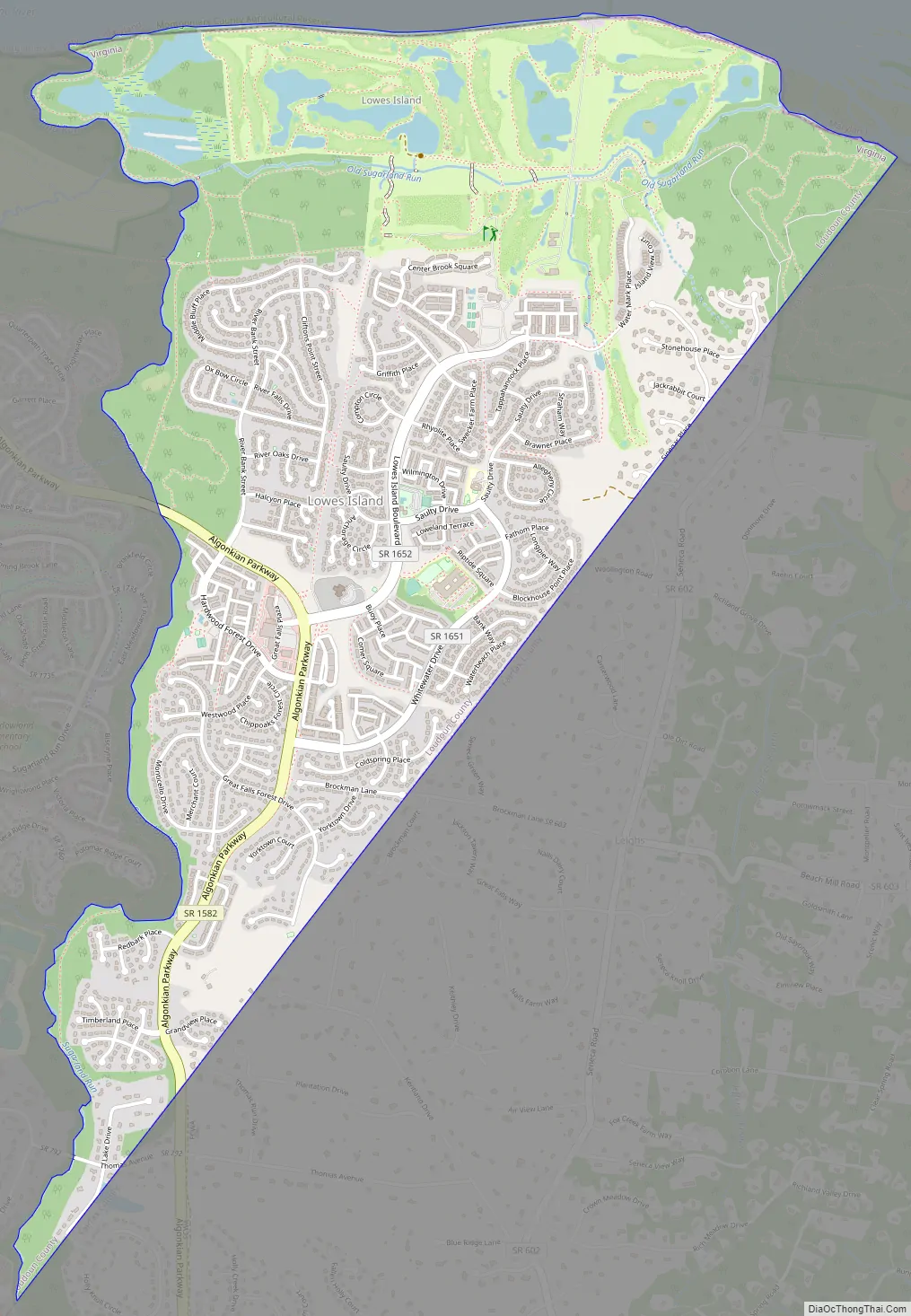
Lowes Island Road Map
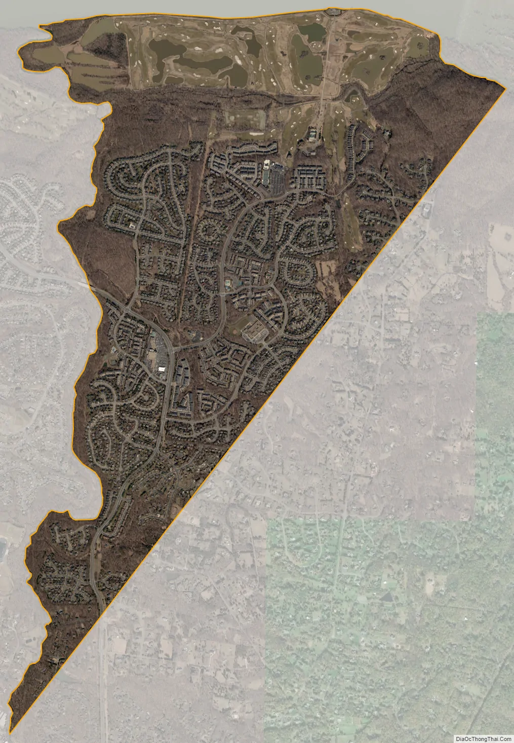
Lowes Island city Satellite Map
Geography
Lowes Island is in the eastern corner of Loudoun County and is bordered to the east by Fairfax County, Virginia, and to the north, across the Potomac, by Montgomery County, Maryland. Neighboring communities are Great Falls to the east, Sugarland Run to the south, Cascades to the west, and Darnestown, Maryland, to the northeast.
Lowes Island is 26 miles (42 km) northwest of downtown Washington, D.C., and 15 miles (24 km) east of Leesburg, the Loudoun county seat.
According to the U.S. Census Bureau, the Lowes Island CDP has a total area of 3.2 square miles (8.2 km), of which 3.0 square miles (7.8 km) are land and 0.2 square miles (0.4 km), or 4.56%, are water. Sugarland Run forms the western border of the CDP, flowing north to the Potomac River at the physical Lowes Island.
See also
Map of Virginia State and its subdivision:- Accomack
- Albemarle
- Alexandria
- Alleghany
- Amelia
- Amherst
- Appomattox
- Arlington
- Augusta
- Bath
- Bedford
- Bedford City
- Bland
- Botetourt
- Bristol
- Brunswick
- Buchanan
- Buckingham
- Buena Vista
- Campbell
- Caroline
- Carroll
- Charles City
- Charlotte
- Charlottesville
- Chesapeake
- Chesterfield
- Clarke
- Clifton Forge City
- Colonial Heights
- Covington
- Craig
- Culpeper
- Cumberland
- Danville
- Dickenson
- Dinwiddie
- Emporia
- Essex
- Fairfax
- Fairfax City
- Falls Church
- Fauquier
- Floyd
- Fluvanna
- Franklin
- Frederick
- Fredericksburg
- Galax
- Giles
- Gloucester
- Goochland
- Grayson
- Greene
- Greensville
- Halifax
- Hampton
- Hanover
- Harrisonburg
- Henrico
- Henry
- Highland
- Hopewell
- Isle of Wight
- James City
- King and Queen
- King George
- King William
- Lancaster
- Lee
- Lexington
- Loudoun
- Louisa
- Lunenburg
- Lynchburg
- Madison
- Manassas
- Manassas Park
- Martinsville
- Mathews
- Mecklenburg
- Middlesex
- Montgomery
- Nelson
- New Kent
- Newport News
- Norfolk
- Northampton
- Northumberland
- Norton
- Nottoway
- Orange
- Page
- Patrick
- Petersburg
- Pittsylvania
- Poquoson
- Portsmouth
- Powhatan
- Prince Edward
- Prince George
- Prince William
- Pulaski
- Radford
- Rappahannock
- Richmond
- Roanoke
- Roanoke City
- Rockbridge
- Rockingham
- Russell
- Salem
- Scott
- Shenandoah
- Smyth
- Southampton
- Spotsylvania
- Stafford
- Staunton
- Suffolk
- Surry
- Sussex
- Tazewell
- Virginia Beach
- Warren
- Washington
- Waynesboro
- Westmoreland
- Williamsburg
- Winchester
- Wise
- Wythe
- York
- Alabama
- Alaska
- Arizona
- Arkansas
- California
- Colorado
- Connecticut
- Delaware
- District of Columbia
- Florida
- Georgia
- Hawaii
- Idaho
- Illinois
- Indiana
- Iowa
- Kansas
- Kentucky
- Louisiana
- Maine
- Maryland
- Massachusetts
- Michigan
- Minnesota
- Mississippi
- Missouri
- Montana
- Nebraska
- Nevada
- New Hampshire
- New Jersey
- New Mexico
- New York
- North Carolina
- North Dakota
- Ohio
- Oklahoma
- Oregon
- Pennsylvania
- Rhode Island
- South Carolina
- South Dakota
- Tennessee
- Texas
- Utah
- Vermont
- Virginia
- Washington
- West Virginia
- Wisconsin
- Wyoming