Onancock (/oʊˈnænkɒk/ oh-NAN-kok) is a town in Accomack County, Virginia, United States. The population was 1,263 at the 2010 census.
| Name: | Onancock town |
|---|---|
| LSAD Code: | 43 |
| LSAD Description: | town (suffix) |
| State: | Virginia |
| County: | Accomack County |
| Elevation: | 16 ft (5 m) |
| Total Area: | 1.05 sq mi (2.72 km²) |
| Land Area: | 1.05 sq mi (2.71 km²) |
| Water Area: | 0.00 sq mi (0.00 km²) |
| Total Population: | 1,263 |
| Population Density: | 1,156.64/sq mi (446.78/km²) |
| ZIP code: | 23417 |
| Area code: | 757, 948 |
| FIPS code: | 5159336 |
| GNISfeature ID: | 1493376 |
| Website: | www.onancock.com |
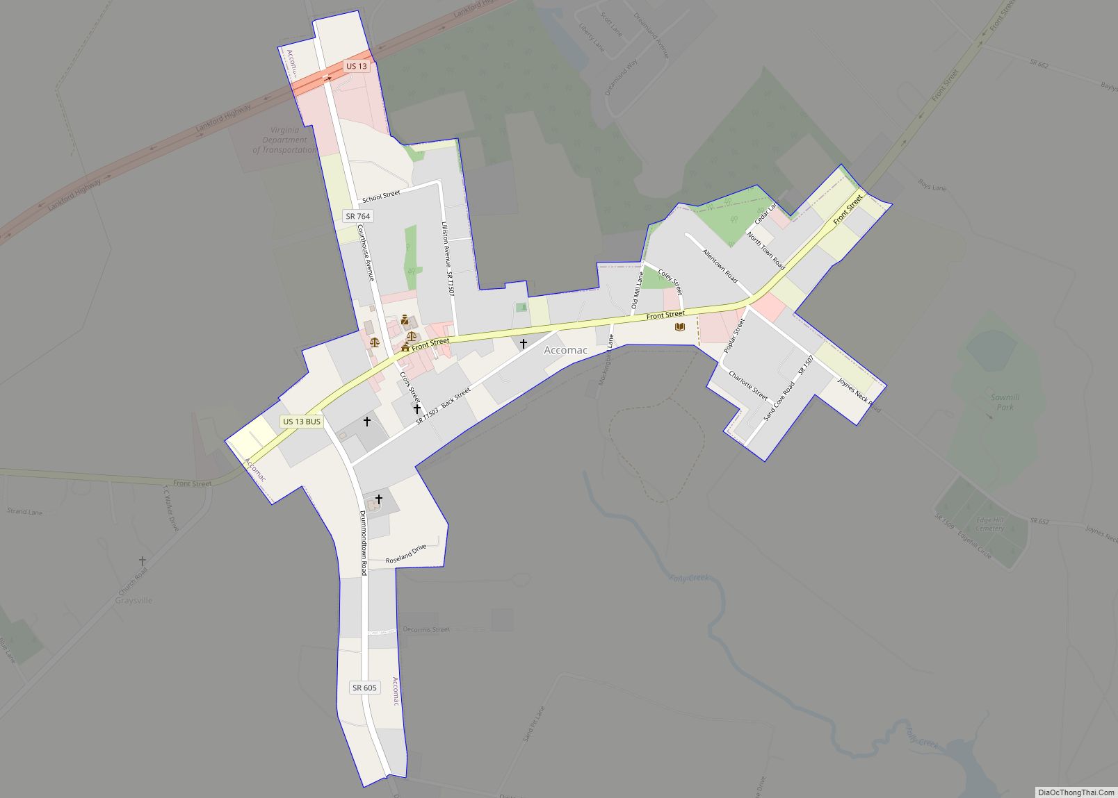
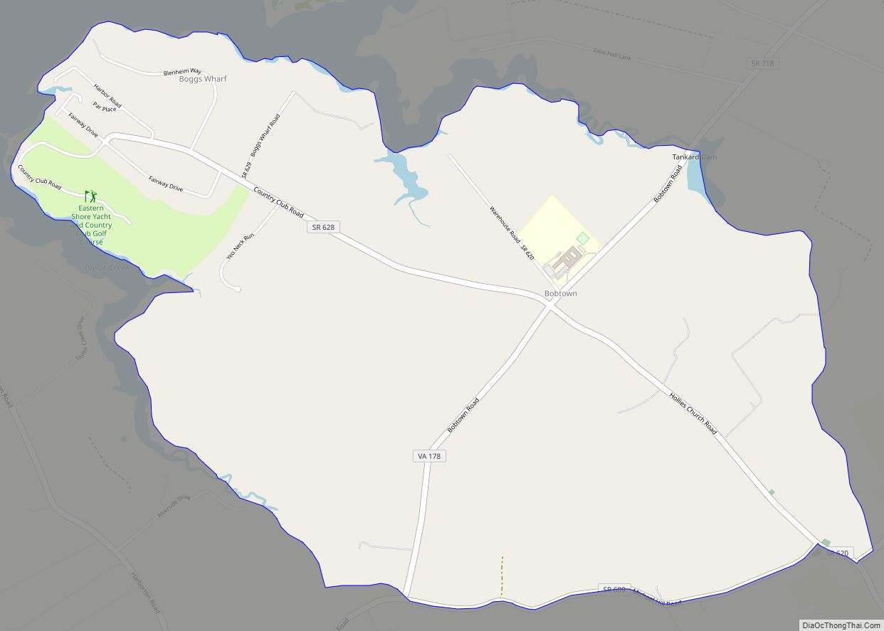
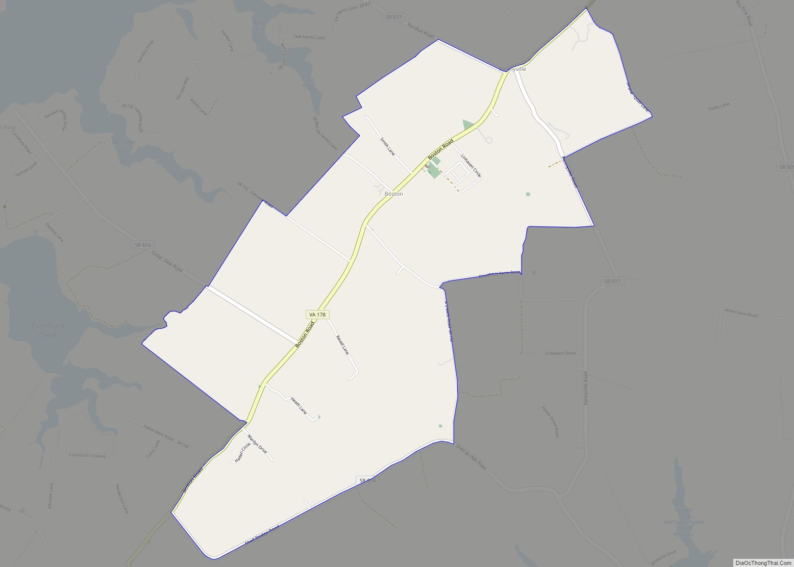
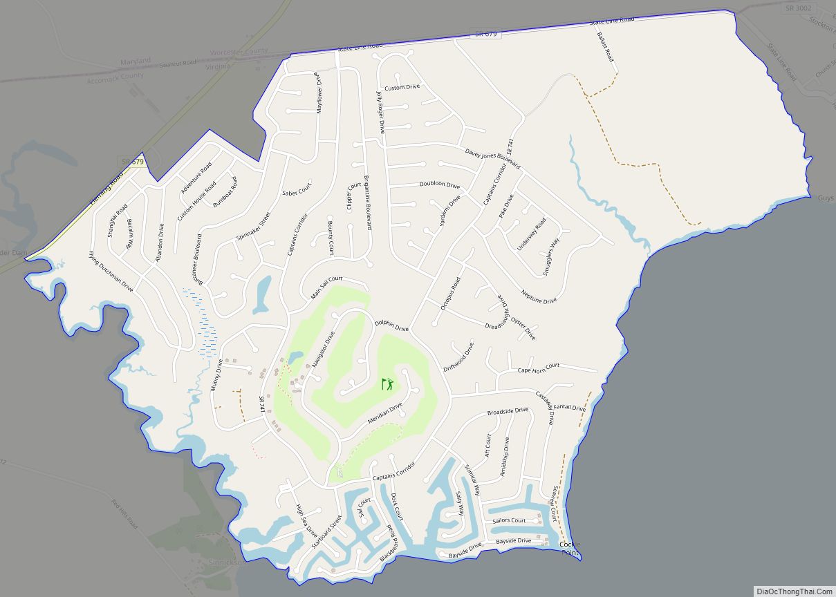
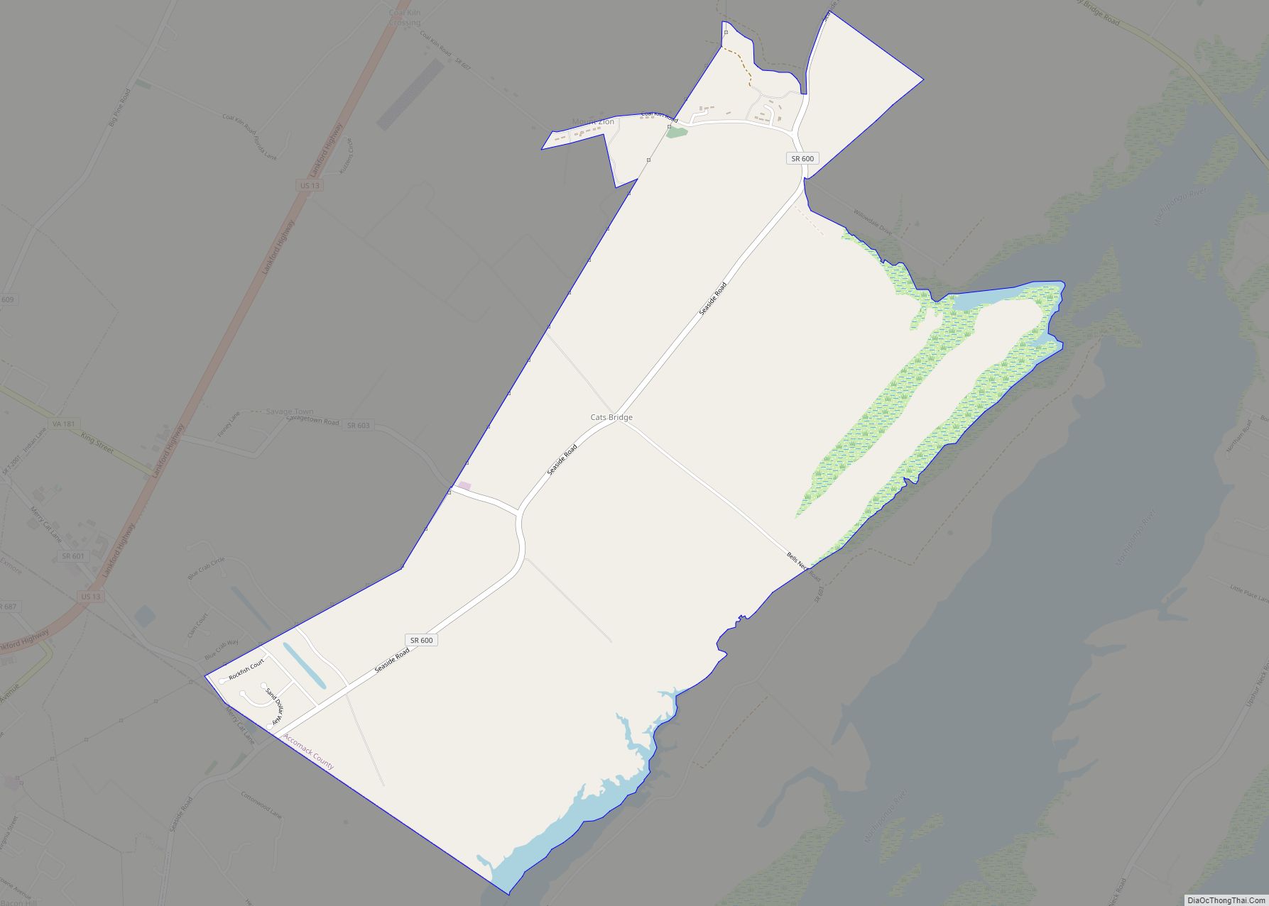
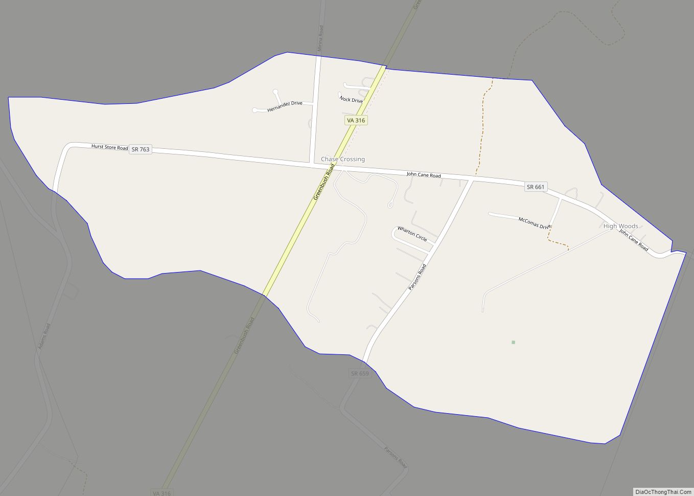
Online Interactive Map
Click on ![]() to view map in "full screen" mode.
to view map in "full screen" mode.
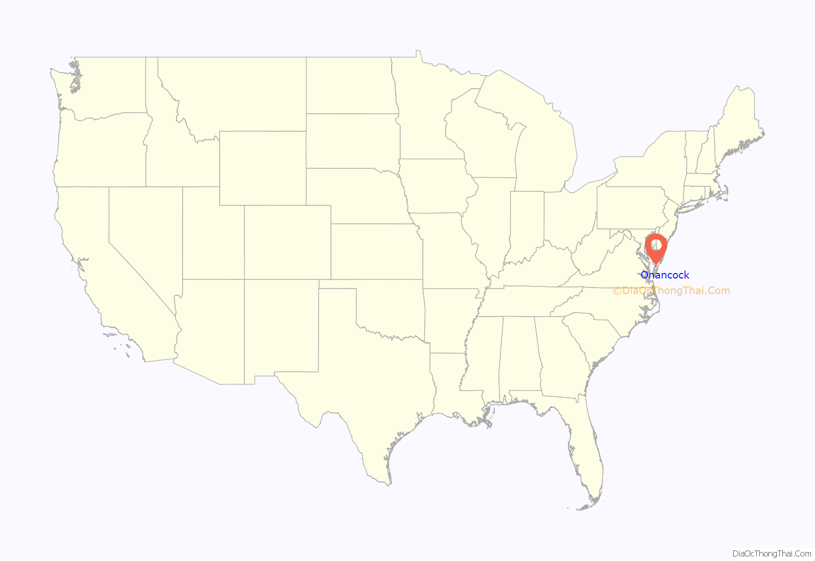
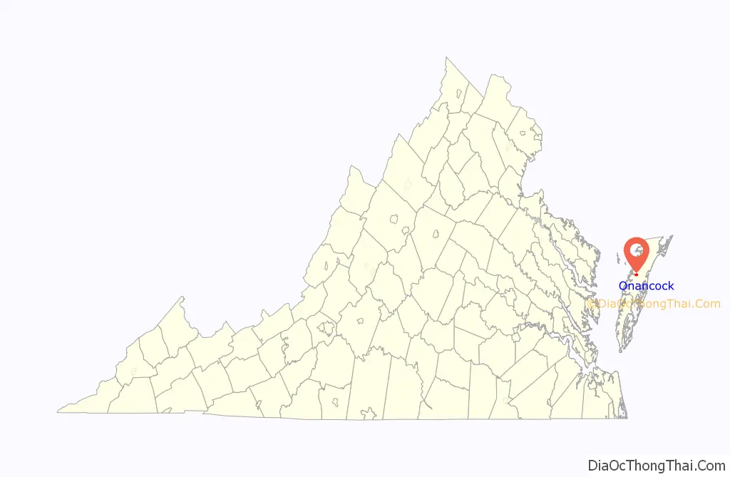
Onancock location map. Where is Onancock town?
History
According to a nearby Virginia state highway marker, Onancock was founded in 1680. A courthouse was established some years after, and militia barracks established during the Revolution.
Some thirteen months after Cornwallis’ October 1781 surrender at Yorktown, Commodore Zedechiah Whaley sought aid from Onancock during a naval campaign against British barges of war that had been harassing the shores and farms of Chesapeake Bay. On November 28, 1782 he sailed up Onancock Creek and appealed to Lt. Colonel John Cropper, who rounded up 25 local men in support. They boarded Whaley’s flagship, Protector, and continued his siege upon the British flotilla.
In what became the Battle of Kedges Strait three of four of Whaley’s barges turned back under heavy British fire, leaving the Protector alone to press the fight. Vastly outnumbered, ultimately 25 of its 65 men were killed or wounded, 29 captured, and only 11 escaped during a climactic action on November 30. Whaley surrendered – in the last naval action of the Revolution – on the very day the Treaty of Paris seeking to finally end the hostilities between the two nations was drafted. It would be another year and a half yet until the completed treaty was signed, ratified, and exchanged, ultimately becoming effective on May 12, 1784.
The highway marker also indicates that the home of Virginia governor Henry A. Wise (1856–60), Onley, is nearby.
In the mid-19th century, Onancock was a point along the stagecoach route between Wilmington, Delaware and Eastville, Virginia.
The Onancock Historic District, Cokesbury Church, Hopkins and Brother Store, and Ker Place are listed on the National Register of Historic Places.
Onancock Road Map
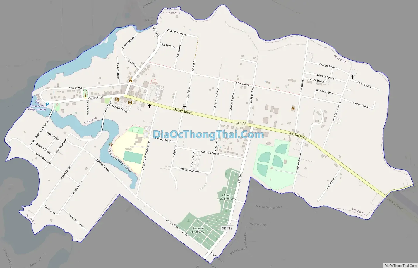
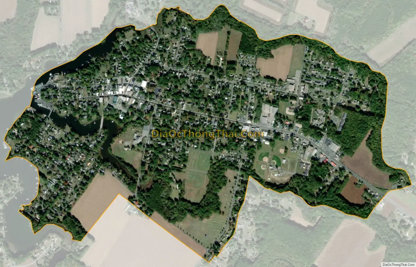
Onancock city Satellite Map
Geography
According to the United States Census Bureau, the town has a total area of 1.0 square miles (2.7 km), all of it land.
It lies at an elevation of 16 feet.
See also
Map of Virginia State and its subdivision:- Accomack
- Albemarle
- Alexandria
- Alleghany
- Amelia
- Amherst
- Appomattox
- Arlington
- Augusta
- Bath
- Bedford
- Bedford City
- Bland
- Botetourt
- Bristol
- Brunswick
- Buchanan
- Buckingham
- Buena Vista
- Campbell
- Caroline
- Carroll
- Charles City
- Charlotte
- Charlottesville
- Chesapeake
- Chesterfield
- Clarke
- Clifton Forge City
- Colonial Heights
- Covington
- Craig
- Culpeper
- Cumberland
- Danville
- Dickenson
- Dinwiddie
- Emporia
- Essex
- Fairfax
- Fairfax City
- Falls Church
- Fauquier
- Floyd
- Fluvanna
- Franklin
- Frederick
- Fredericksburg
- Galax
- Giles
- Gloucester
- Goochland
- Grayson
- Greene
- Greensville
- Halifax
- Hampton
- Hanover
- Harrisonburg
- Henrico
- Henry
- Highland
- Hopewell
- Isle of Wight
- James City
- King and Queen
- King George
- King William
- Lancaster
- Lee
- Lexington
- Loudoun
- Louisa
- Lunenburg
- Lynchburg
- Madison
- Manassas
- Manassas Park
- Martinsville
- Mathews
- Mecklenburg
- Middlesex
- Montgomery
- Nelson
- New Kent
- Newport News
- Norfolk
- Northampton
- Northumberland
- Norton
- Nottoway
- Orange
- Page
- Patrick
- Petersburg
- Pittsylvania
- Poquoson
- Portsmouth
- Powhatan
- Prince Edward
- Prince George
- Prince William
- Pulaski
- Radford
- Rappahannock
- Richmond
- Roanoke
- Roanoke City
- Rockbridge
- Rockingham
- Russell
- Salem
- Scott
- Shenandoah
- Smyth
- Southampton
- Spotsylvania
- Stafford
- Staunton
- Suffolk
- Surry
- Sussex
- Tazewell
- Virginia Beach
- Warren
- Washington
- Waynesboro
- Westmoreland
- Williamsburg
- Winchester
- Wise
- Wythe
- York
- Alabama
- Alaska
- Arizona
- Arkansas
- California
- Colorado
- Connecticut
- Delaware
- District of Columbia
- Florida
- Georgia
- Hawaii
- Idaho
- Illinois
- Indiana
- Iowa
- Kansas
- Kentucky
- Louisiana
- Maine
- Maryland
- Massachusetts
- Michigan
- Minnesota
- Mississippi
- Missouri
- Montana
- Nebraska
- Nevada
- New Hampshire
- New Jersey
- New Mexico
- New York
- North Carolina
- North Dakota
- Ohio
- Oklahoma
- Oregon
- Pennsylvania
- Rhode Island
- South Carolina
- South Dakota
- Tennessee
- Texas
- Utah
- Vermont
- Virginia
- Washington
- West Virginia
- Wisconsin
- Wyoming