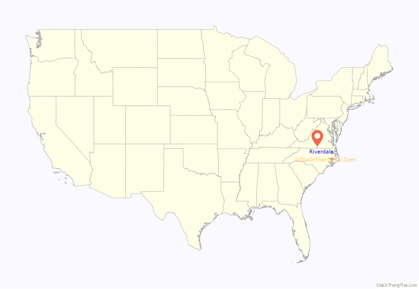
Riverdale is a census-designated place in Halifax County, Virginia, United States. The population as of the 2010 census was 956.
| Name: | Riverdale CDP |
|---|---|
| LSAD Code: | 57 |
| LSAD Description: | CDP (suffix) |
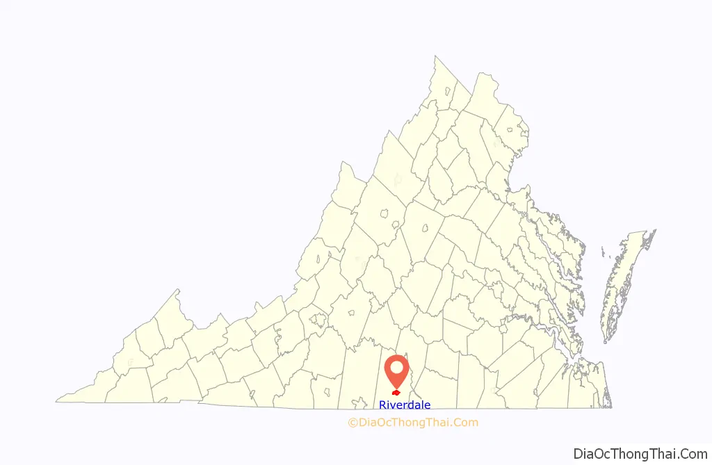
| State: | Virginia |
| County: | Halifax County |
| Elevation: | 406 ft (124 m) |
| Total Area: | 8.3 sq mi (21.5 km²) |
| Land Area: | 8.1 sq mi (21.1 km²) |
| Water Area: | 0.2 sq mi (0.4 km²) |
| Total Population: | 956 |
| Population Density: | 117/sq mi (45.3/km²) |
| ZIP code: | 24592 |
| FIPS code: | 5167352 |
| GNISfeature ID: | 2584910 |
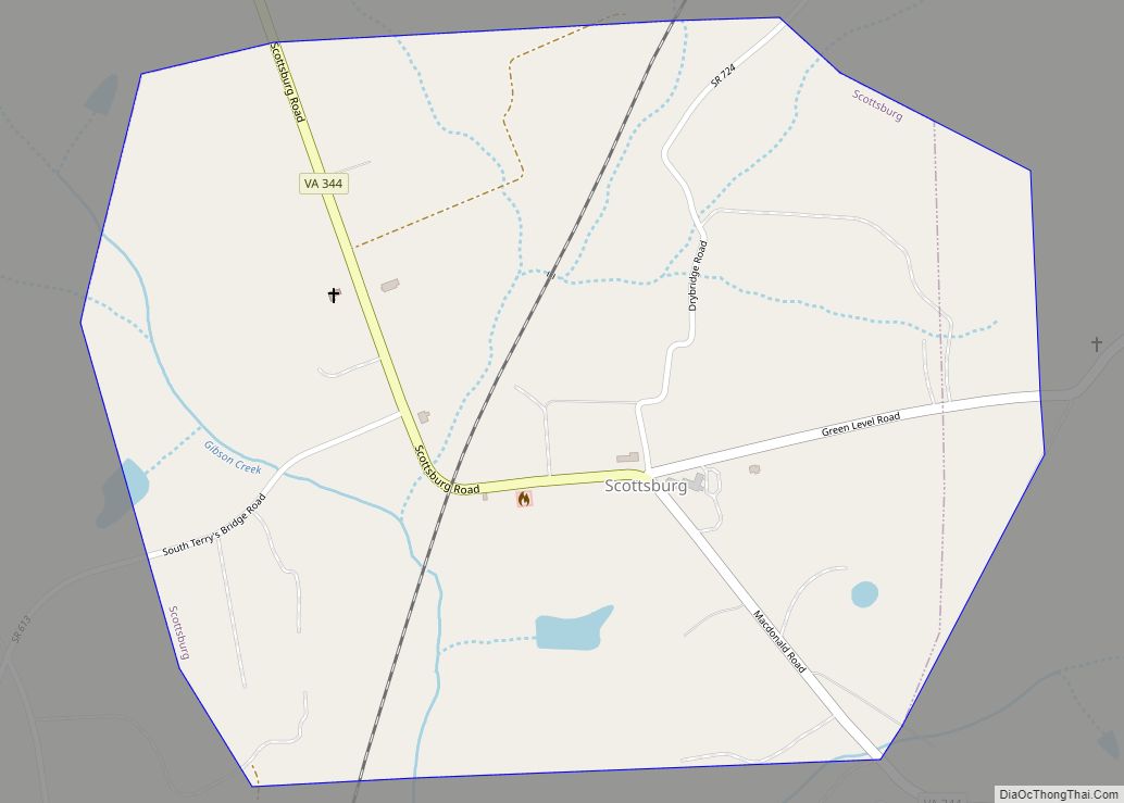
Online Interactive Map
Click on ![]() to view map in "full screen" mode.
to view map in "full screen" mode.
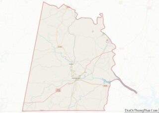
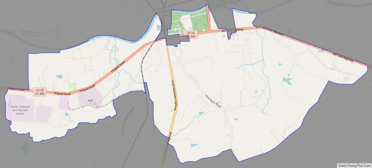
Riverdale location map. Where is Riverdale CDP?
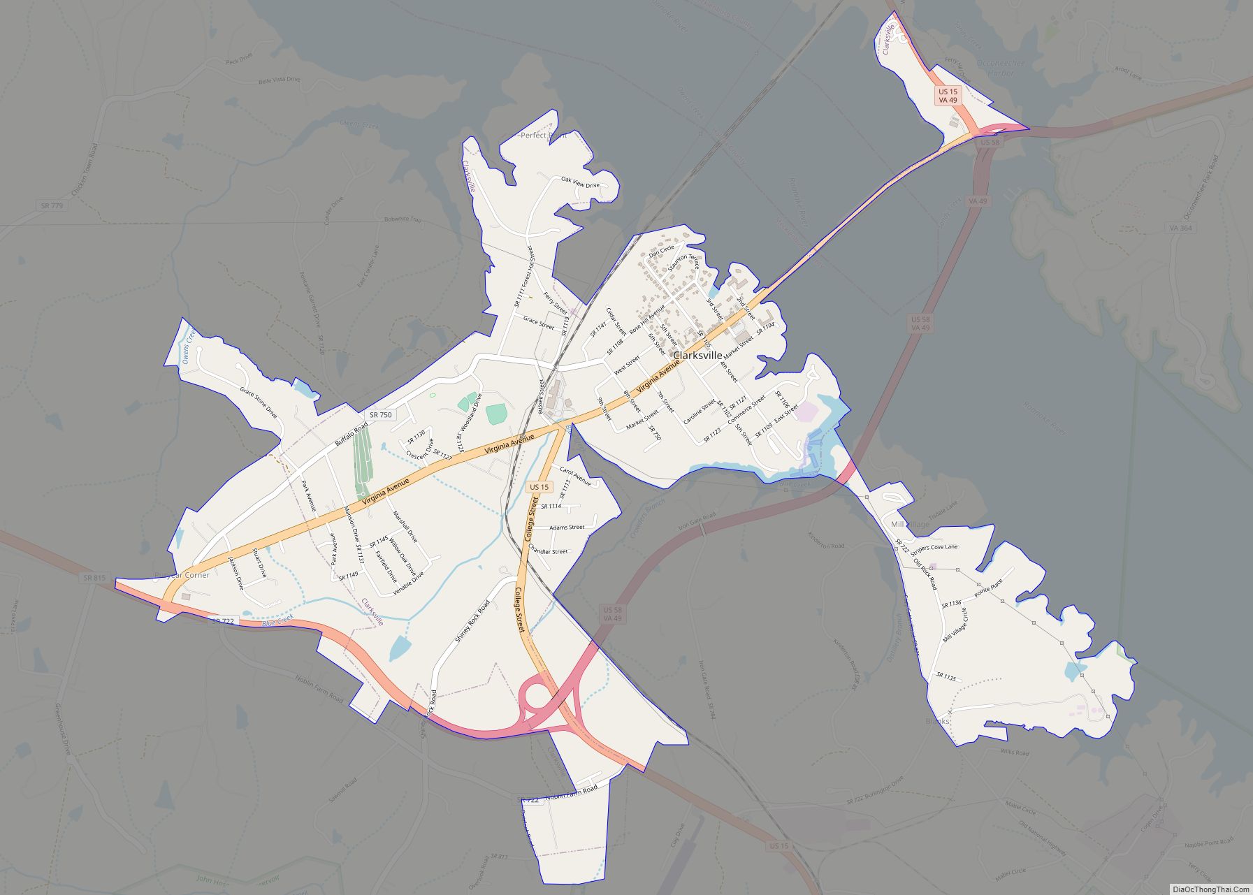
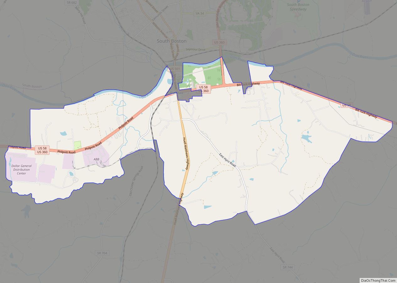
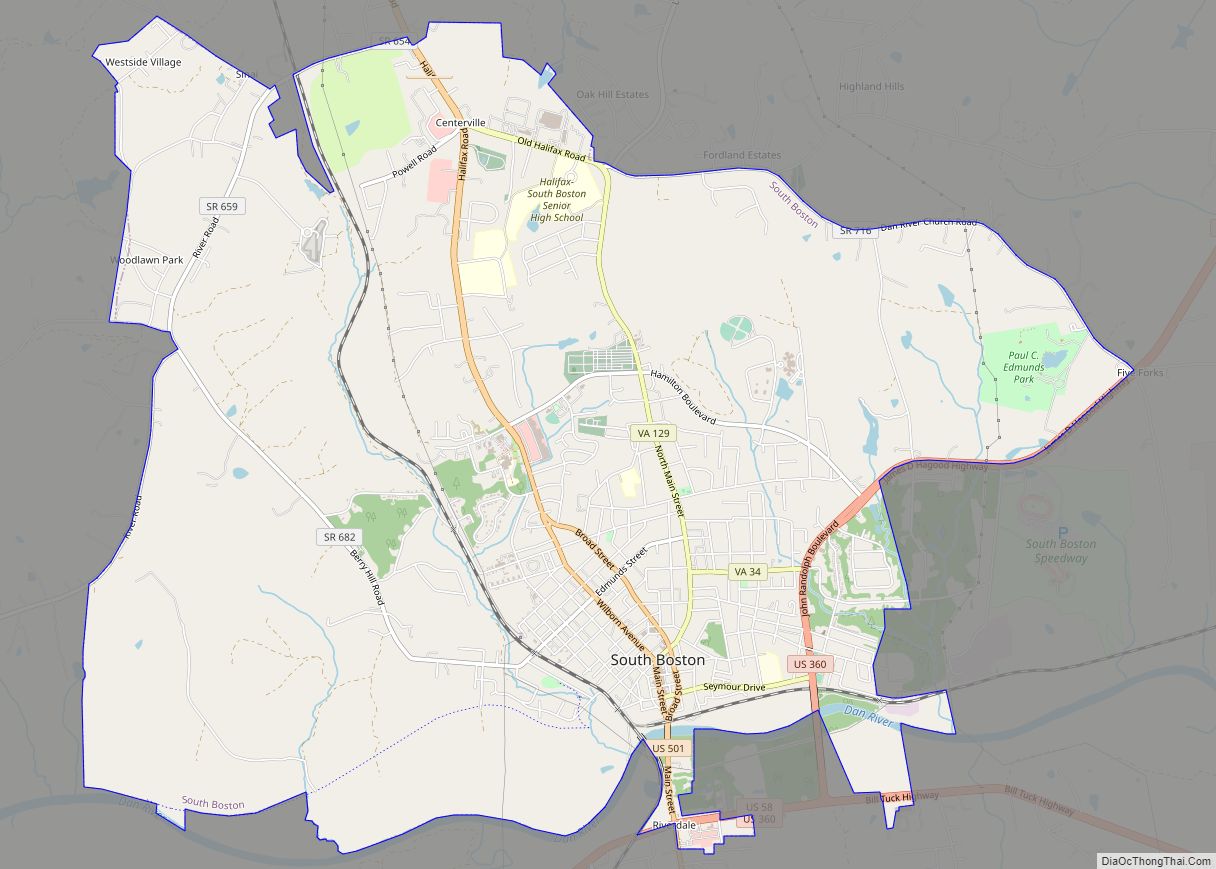
Riverdale Road Map
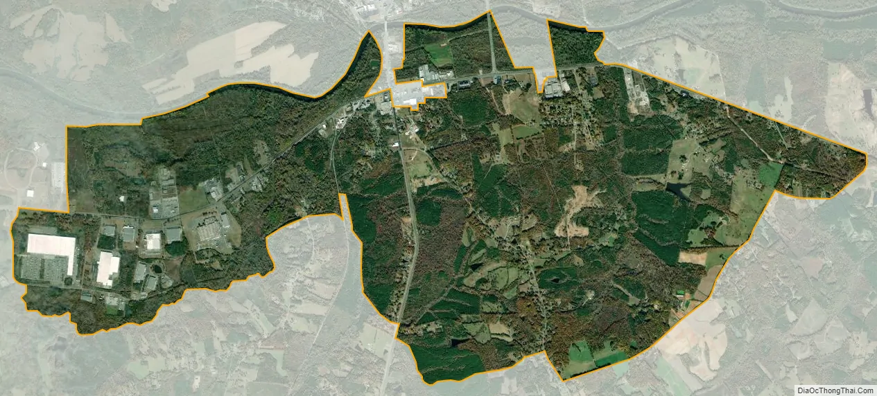
Riverdale city Satellite Map
Geography
Riverdale is located in south-central Halifax County on the south side of the Dan River, an east-flowing tributary of the Roanoke River. The community is bordered to the north by the town of South Boston, the largest town in the county.
Three U.S. highways pass through Riverdale. U.S. Routes 58 and 360 enter Riverdale together from the west, leading 30 miles (48 km) to Danville. The two highways cross U.S. Route 501 at what used to be the center of Riverdale but has since been annexed by the town of South Boston. US 501 leads north through South Boston towards Lynchburg, 61 miles (98 km) away, while to the south the highway leads 52 miles (84 km) to Durham, North Carolina. US 58 and 360 split in the eastern part of Riverdale, with US 360 leading northeast 38 miles (61 km) to Keysville and US 58 leading east 48 miles (77 km) to South Hill.
According to the U.S. Census Bureau, the Riverdale CDP has a total area of 8.3 square miles (21.5 km), of which 8.1 square miles (21.1 km) are land and 0.2 square miles (0.4 km), or 1.86%, are water.
See also
Map of Virginia State and its subdivision:- Accomack
- Albemarle
- Alexandria
- Alleghany
- Amelia
- Amherst
- Appomattox
- Arlington
- Augusta
- Bath
- Bedford
- Bedford City
- Bland
- Botetourt
- Bristol
- Brunswick
- Buchanan
- Buckingham
- Buena Vista
- Campbell
- Caroline
- Carroll
- Charles City
- Charlotte
- Charlottesville
- Chesapeake
- Chesterfield
- Clarke
- Clifton Forge City
- Colonial Heights
- Covington
- Craig
- Culpeper
- Cumberland
- Danville
- Dickenson
- Dinwiddie
- Emporia
- Essex
- Fairfax
- Fairfax City
- Falls Church
- Fauquier
- Floyd
- Fluvanna
- Franklin
- Frederick
- Fredericksburg
- Galax
- Giles
- Gloucester
- Goochland
- Grayson
- Greene
- Greensville
- Halifax
- Hampton
- Hanover
- Harrisonburg
- Henrico
- Henry
- Highland
- Hopewell
- Isle of Wight
- James City
- King and Queen
- King George
- King William
- Lancaster
- Lee
- Lexington
- Loudoun
- Louisa
- Lunenburg
- Lynchburg
- Madison
- Manassas
- Manassas Park
- Martinsville
- Mathews
- Mecklenburg
- Middlesex
- Montgomery
- Nelson
- New Kent
- Newport News
- Norfolk
- Northampton
- Northumberland
- Norton
- Nottoway
- Orange
- Page
- Patrick
- Petersburg
- Pittsylvania
- Poquoson
- Portsmouth
- Powhatan
- Prince Edward
- Prince George
- Prince William
- Pulaski
- Radford
- Rappahannock
- Richmond
- Roanoke
- Roanoke City
- Rockbridge
- Rockingham
- Russell
- Salem
- Scott
- Shenandoah
- Smyth
- Southampton
- Spotsylvania
- Stafford
- Staunton
- Suffolk
- Surry
- Sussex
- Tazewell
- Virginia Beach
- Warren
- Washington
- Waynesboro
- Westmoreland
- Williamsburg
- Winchester
- Wise
- Wythe
- York
- Alabama
- Alaska
- Arizona
- Arkansas
- California
- Colorado
- Connecticut
- Delaware
- District of Columbia
- Florida
- Georgia
- Hawaii
- Idaho
- Illinois
- Indiana
- Iowa
- Kansas
- Kentucky
- Louisiana
- Maine
- Maryland
- Massachusetts
- Michigan
- Minnesota
- Mississippi
- Missouri
- Montana
- Nebraska
- Nevada
- New Hampshire
- New Jersey
- New Mexico
- New York
- North Carolina
- North Dakota
- Ohio
- Oklahoma
- Oregon
- Pennsylvania
- Rhode Island
- South Carolina
- South Dakota
- Tennessee
- Texas
- Utah
- Vermont
- Virginia
- Washington
- West Virginia
- Wisconsin
- Wyoming