Short Pump is a census-designated place (CDP) in Henrico County, Virginia, United States. It is a suburb of Richmond, Virginia. The population was 30,626 at the 2020 census.
The original village of Short Pump was located at the intersection of Three Chopt Road (formerly known as Three Notched Trail), Richmond Turnpike and Pouncey Tract Road. The area first centered around a local tavern that was expanded by Col. Robert H. Saunders beginning in 1814. According to local legend, it was named for the short handled pump that was located beneath the porch of the tavern, though there is some debate over the name’s origin. This area was on the principal route between Richmond and Charlottesville, as well as other towns in the Blue Ridge Mountains. Thomas Jefferson, the Earl Cornwallis, the Marquis de Lafayette, General Peter Muhlenberg, Stonewall Jackson and Ulric Dahlgren all visited this area.
The crossroads was officially named Short Pump by 1853, according to a Henrico County map found in the Virginia Historical Society.
It has now become part of Richmond’s Far West End. In 2003, developers opened Short Pump Town Center, an 1,200,000-square-foot (110,000 m) open air shopping mall. Other shopping and living spaces include West Broad Village.
Short Pump is noted for its shopping centers, restaurants, skating rink, and bowling alley. The area is an edge city of Richmond.
| Name: | Short Pump CDP |
|---|---|
| LSAD Code: | 57 |
| LSAD Description: | CDP (suffix) |
| State: | Virginia |
| County: | Henrico County |
| Elevation: | 282 ft (86 m) |
| Total Area: | 9.1 sq mi (23.5 km²) |
| Land Area: | 9.0 sq mi (23.2 km²) |
| Water Area: | 0.1 sq mi (0.3 km²) |
| Total Population: | 30,626 |
| Population Density: | 3,400/sq mi (1,300/km²) |
| FIPS code: | 5172272 |
| GNISfeature ID: | 1495125 |
Online Interactive Map
Click on ![]() to view map in "full screen" mode.
to view map in "full screen" mode.
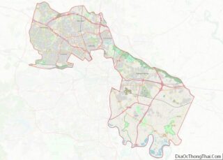
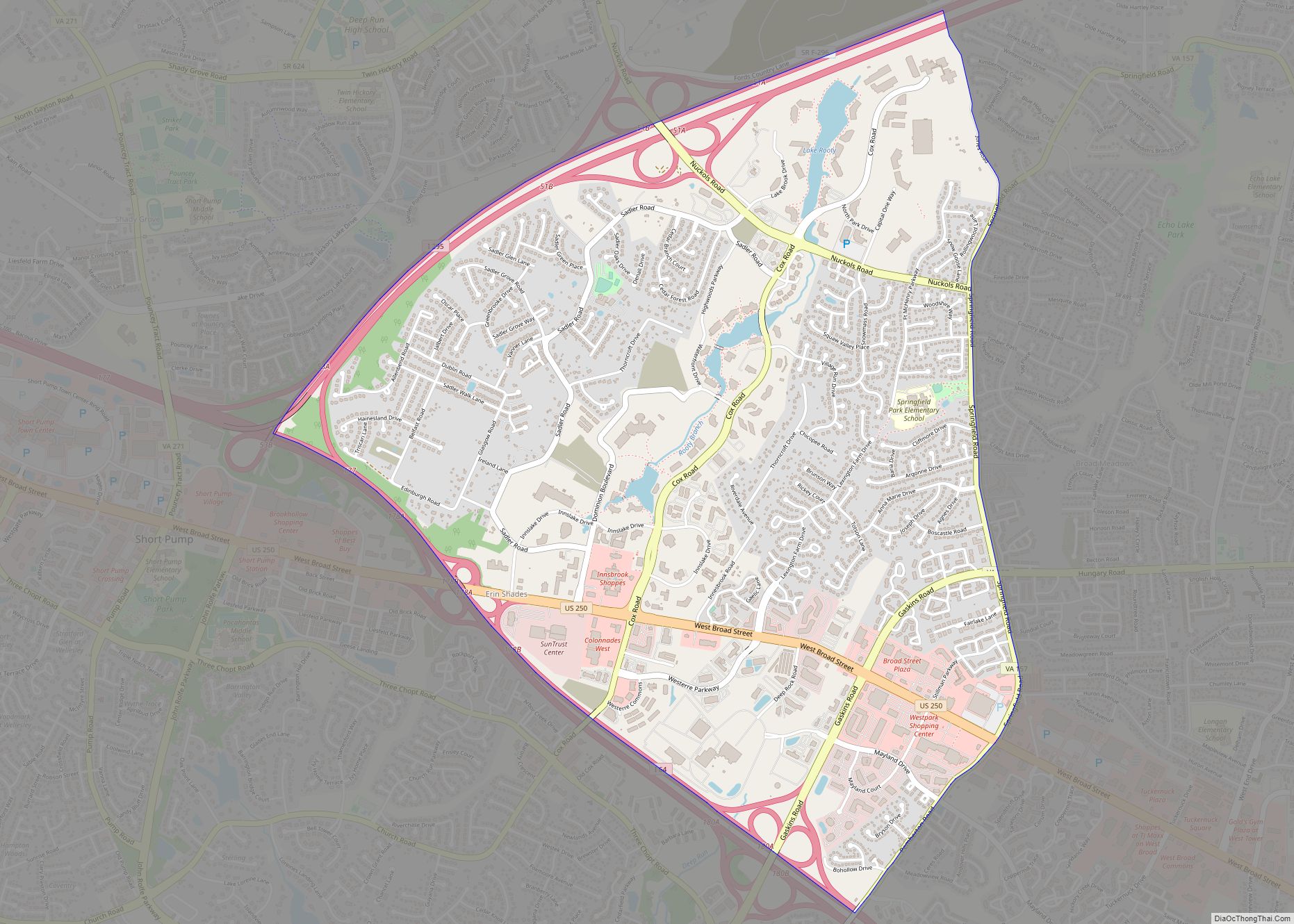
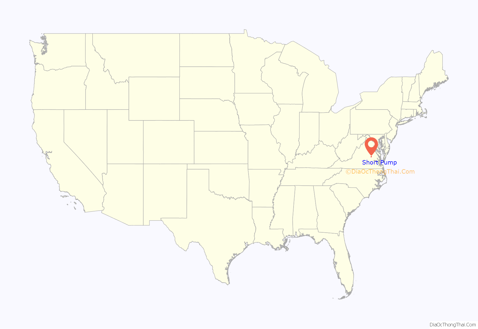
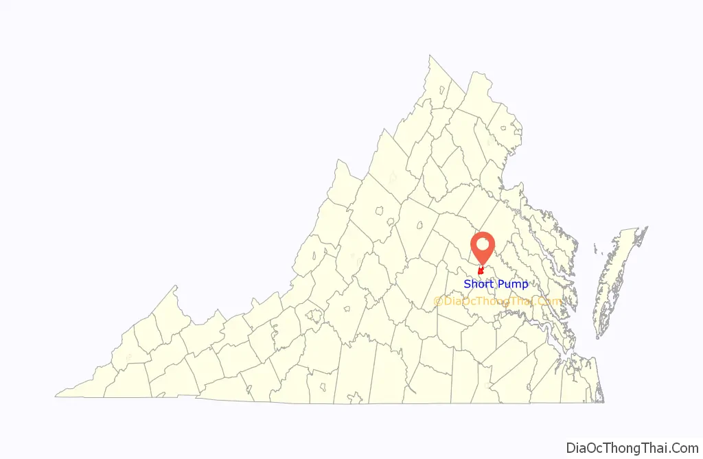
Short Pump location map. Where is Short Pump CDP?
History
Short Pump began as a local tavern stop situated at a strategic crossroads in the early nineteenth century. Purchased around 1814 by Col. Saunders, the tavern profited from the local coal industry, westward movement in the state, and the extension of roads in the period after the Revolutionary War. Along with the food, drink, and lodgings that taverns typically provided for visitors, this tavern served as a post-office, voting precinct, and local market during its roughly 35 years in business. It also briefly housed a school for young white men and a resident doctor. While a gathering spot for white locals and travelers, the tavern relied on enslaved labor and hosted occasional slave auctions.
The tavern eventually declined in the latter half of the nineteenth century, but the name stuck to the area. By the early twentieth century, the tavern was all but gone, and other buildings and businesses rose up to take its place. As automobiles replaced horses as the primary means of transportation, filling stations and garages popped up in the area. At the same time, those living in Short Pump increasingly saw themselves as a suburb of Richmond and worked to better their community through the building of new structures–like the Short Pump High School.
By the 1990s and 2000s, Short Pump transformed from a rural crossroads to an edge-city, a concentration of development on the outskirts of traditional urban areas. The Short Pump Town Center, a mega-mall, proved key to this transformation.
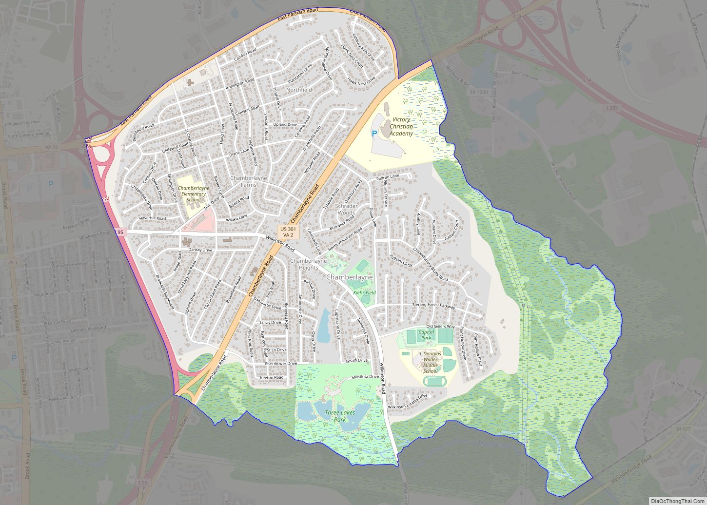
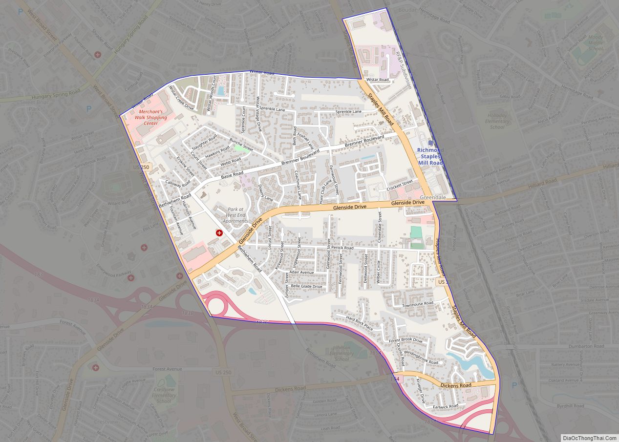
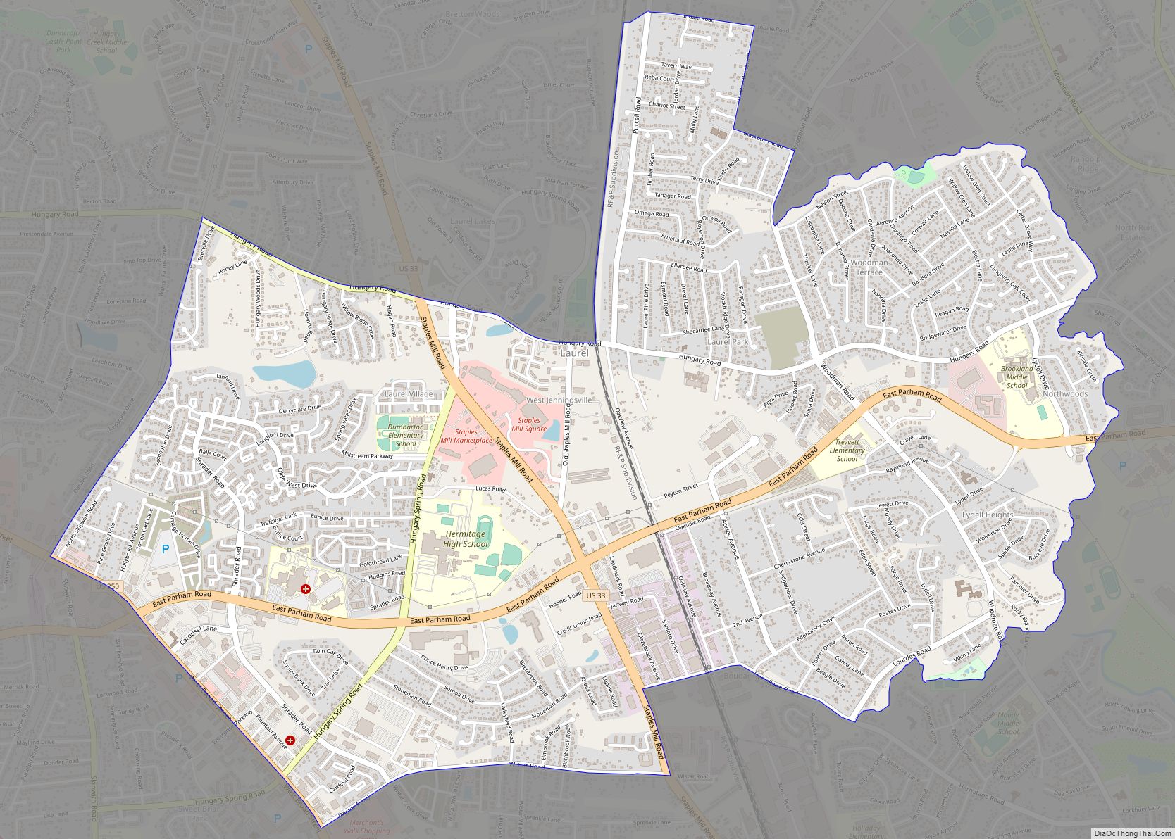
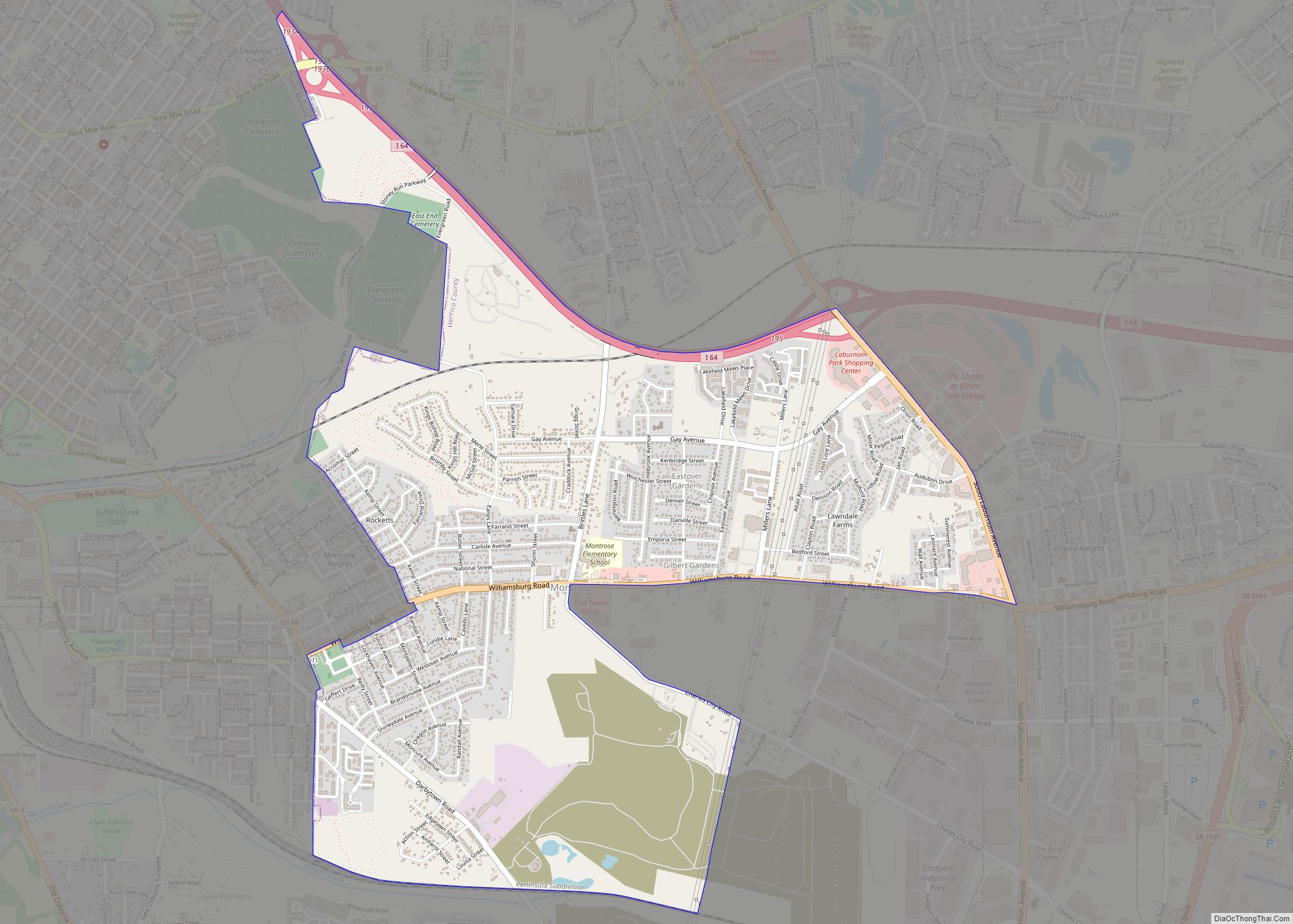
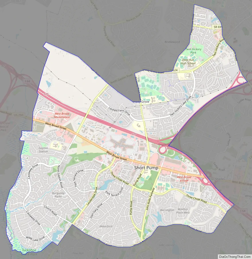
Short Pump Road Map
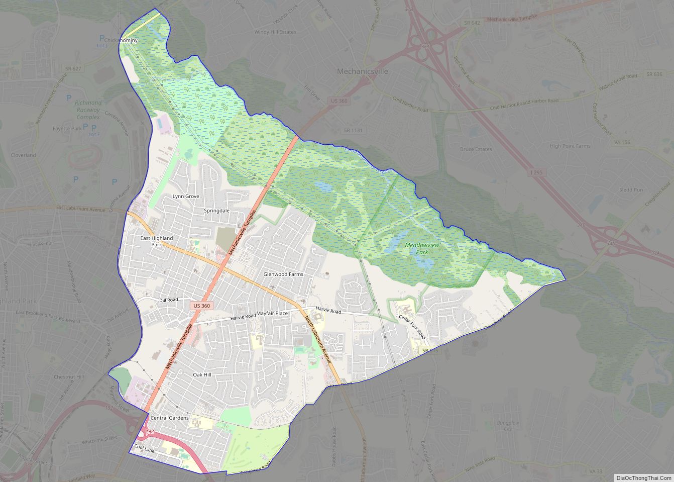
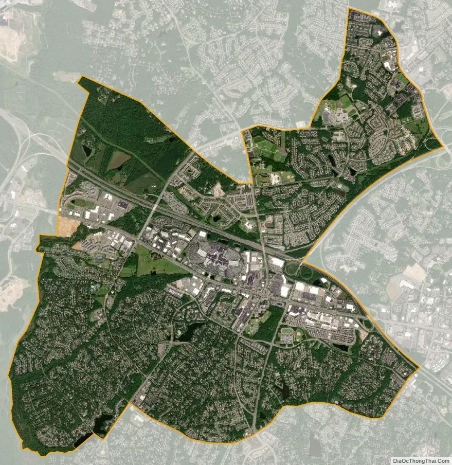
Short Pump city Satellite Map
Geography
According to the United States Census Bureau, the CDP has a total area of 9.1 square miles (23.5 km), of which 9.0 square miles (23.2 km) is land and 0.12 square miles (0.3 km), or 1.33%, is water. Short Pump is bordered to the west by Goochland County, to the north by the Wyndham CDP, to the east by the Innsbrook CDP, and to the south by non-CDP land and by Tuckahoe.
Climate
See also
Map of Virginia State and its subdivision:- Accomack
- Albemarle
- Alexandria
- Alleghany
- Amelia
- Amherst
- Appomattox
- Arlington
- Augusta
- Bath
- Bedford
- Bedford City
- Bland
- Botetourt
- Bristol
- Brunswick
- Buchanan
- Buckingham
- Buena Vista
- Campbell
- Caroline
- Carroll
- Charles City
- Charlotte
- Charlottesville
- Chesapeake
- Chesterfield
- Clarke
- Clifton Forge City
- Colonial Heights
- Covington
- Craig
- Culpeper
- Cumberland
- Danville
- Dickenson
- Dinwiddie
- Emporia
- Essex
- Fairfax
- Fairfax City
- Falls Church
- Fauquier
- Floyd
- Fluvanna
- Franklin
- Frederick
- Fredericksburg
- Galax
- Giles
- Gloucester
- Goochland
- Grayson
- Greene
- Greensville
- Halifax
- Hampton
- Hanover
- Harrisonburg
- Henrico
- Henry
- Highland
- Hopewell
- Isle of Wight
- James City
- King and Queen
- King George
- King William
- Lancaster
- Lee
- Lexington
- Loudoun
- Louisa
- Lunenburg
- Lynchburg
- Madison
- Manassas
- Manassas Park
- Martinsville
- Mathews
- Mecklenburg
- Middlesex
- Montgomery
- Nelson
- New Kent
- Newport News
- Norfolk
- Northampton
- Northumberland
- Norton
- Nottoway
- Orange
- Page
- Patrick
- Petersburg
- Pittsylvania
- Poquoson
- Portsmouth
- Powhatan
- Prince Edward
- Prince George
- Prince William
- Pulaski
- Radford
- Rappahannock
- Richmond
- Roanoke
- Roanoke City
- Rockbridge
- Rockingham
- Russell
- Salem
- Scott
- Shenandoah
- Smyth
- Southampton
- Spotsylvania
- Stafford
- Staunton
- Suffolk
- Surry
- Sussex
- Tazewell
- Virginia Beach
- Warren
- Washington
- Waynesboro
- Westmoreland
- Williamsburg
- Winchester
- Wise
- Wythe
- York
- Alabama
- Alaska
- Arizona
- Arkansas
- California
- Colorado
- Connecticut
- Delaware
- District of Columbia
- Florida
- Georgia
- Hawaii
- Idaho
- Illinois
- Indiana
- Iowa
- Kansas
- Kentucky
- Louisiana
- Maine
- Maryland
- Massachusetts
- Michigan
- Minnesota
- Mississippi
- Missouri
- Montana
- Nebraska
- Nevada
- New Hampshire
- New Jersey
- New Mexico
- New York
- North Carolina
- North Dakota
- Ohio
- Oklahoma
- Oregon
- Pennsylvania
- Rhode Island
- South Carolina
- South Dakota
- Tennessee
- Texas
- Utah
- Vermont
- Virginia
- Washington
- West Virginia
- Wisconsin
- Wyoming