Ellijay is a city in Gilmer County, Georgia, United States. The population was 1,619 at the 2010 census. The city is the county seat of Gilmer County.
Agriculture is important in Gilmer County, known as the “Apple Capital of Georgia.” The city holds an annual Georgia Apple Festival in October.
Former President Jimmy Carter and his wife Rosalynn own a pine cabin second home in Ellijay. Other tourists are attracted to the mountains and whitewater kayaking.
| Name: | Ellijay city |
|---|---|
| LSAD Code: | 25 |
| LSAD Description: | city (suffix) |
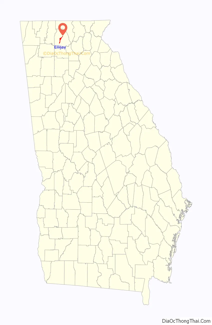
| State: | Georgia |
| County: | Gilmer County |
| Elevation: | 1,280 ft (390 m) |
| Total Area: | 3.54 sq mi (9.18 km²) |
| Land Area: | 3.54 sq mi (9.18 km²) |
| Water Area: | 0.00 sq mi (0.00 km²) |
| Total Population: | 1,862 |
| Population Density: | 525.40/sq mi (202.83/km²) |
| ZIP code: | 30540 |
| Area code: | 706/762 |
| FIPS code: | 1327092 |
| GNISfeature ID: | 0331651 |
| Website: | www.pickellijay.com |
Online Interactive Map
Click on ![]() to view map in "full screen" mode.
to view map in "full screen" mode.
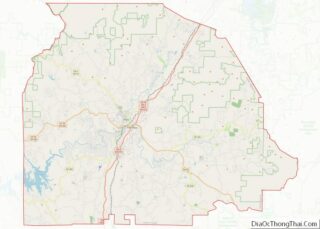
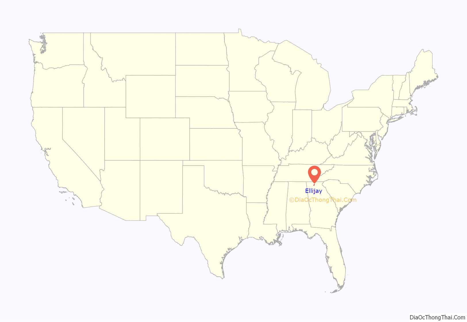
Ellijay location map. Where is Ellijay city?
History
This area was long settled by cultures of indigenous peoples. It was known as part of the homeland of the historic Cherokee people. They had a village here, at the confluence of the Ellijay and Cartecay rivers, which together form the Coosawattee River.
Ellijay (sometimes formerly spelled “Elejoy”) is the anglicized form or transliteration of the Cherokee name Elatseyi, meaning “new ground”. Other sources say it means “green place”.
Gilmer County was organized by territory cut from Cherokee County in 1832, and Ellijay was designated as its county seat in 1834. It was a fairly isolated and remote mountain community until the late nineteenth century. After the Marietta and Northern Georgia Railroad (later the Louisville and Nashville Railroad) was constructed through here in 1884, the railroad stimulated a boom in the timber industry by providing a profitable way to get lumber to markets. Many timber companies came into the area with their workers.
More than a century later, another major transportation improvement was construction of the Zell Miller Mountain Parkway (Georgia 515, named for Georgia governor and U.S. senator Zell Miller), which was completed in 1991.
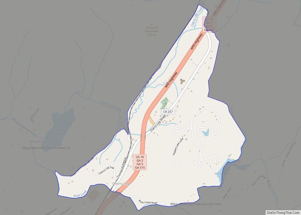
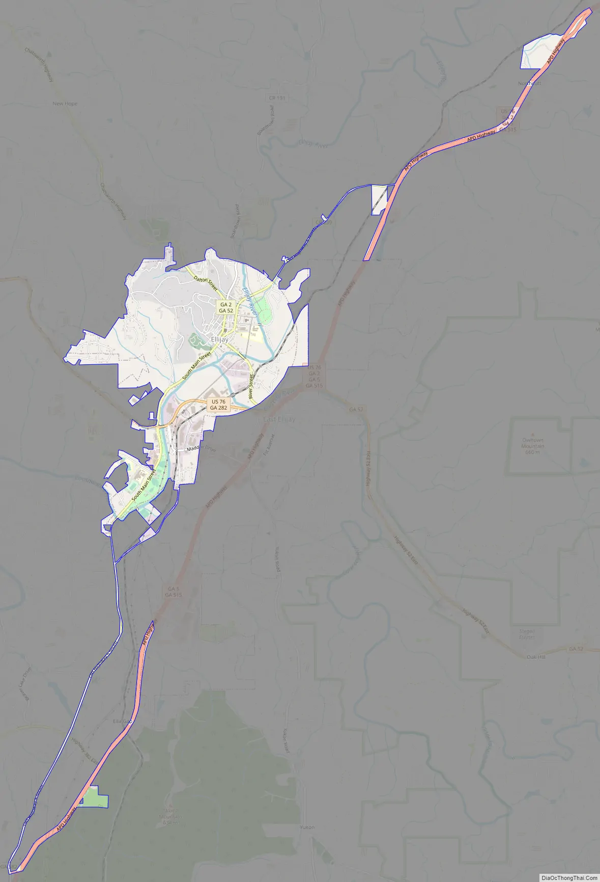
Ellijay Road Map
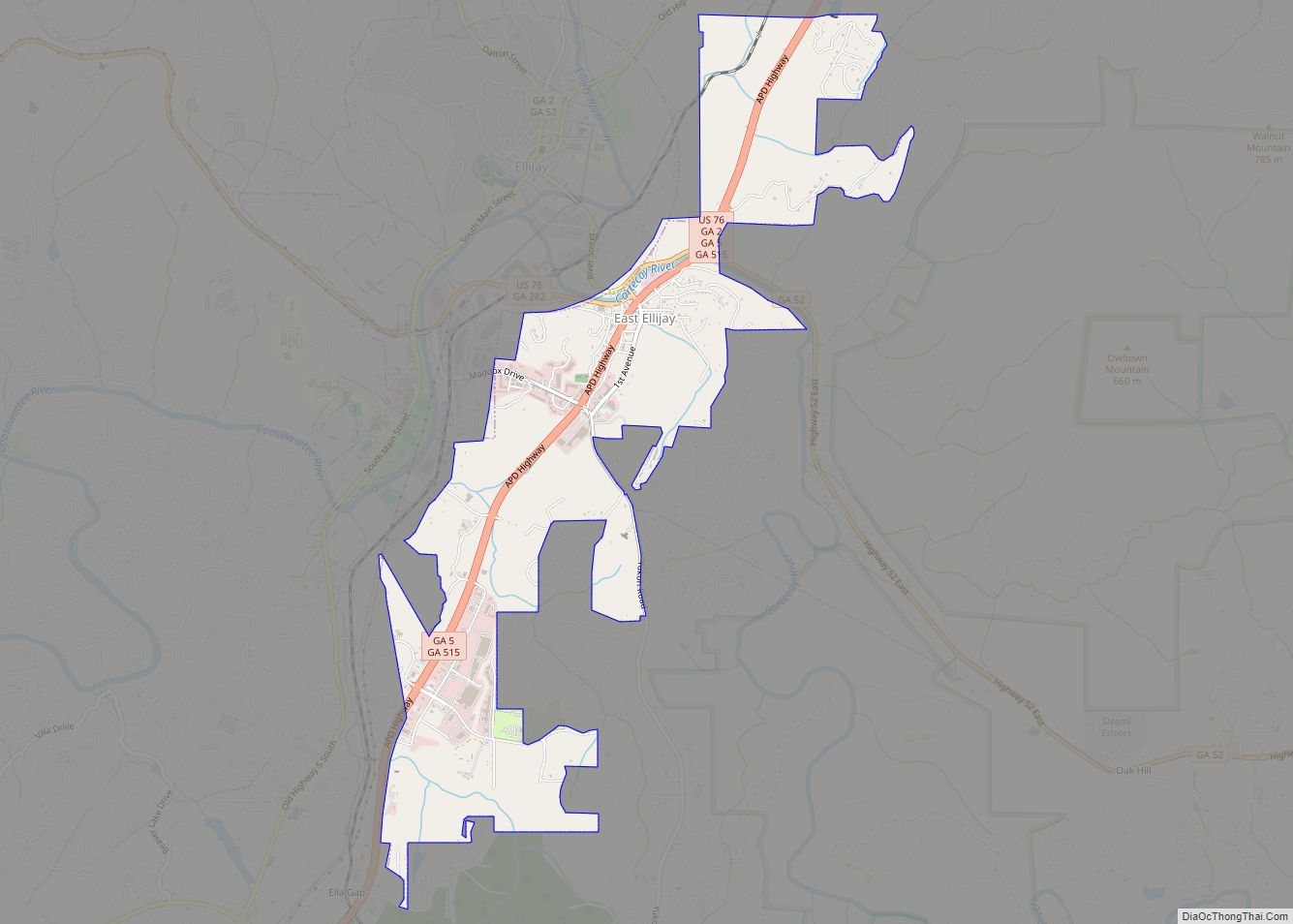
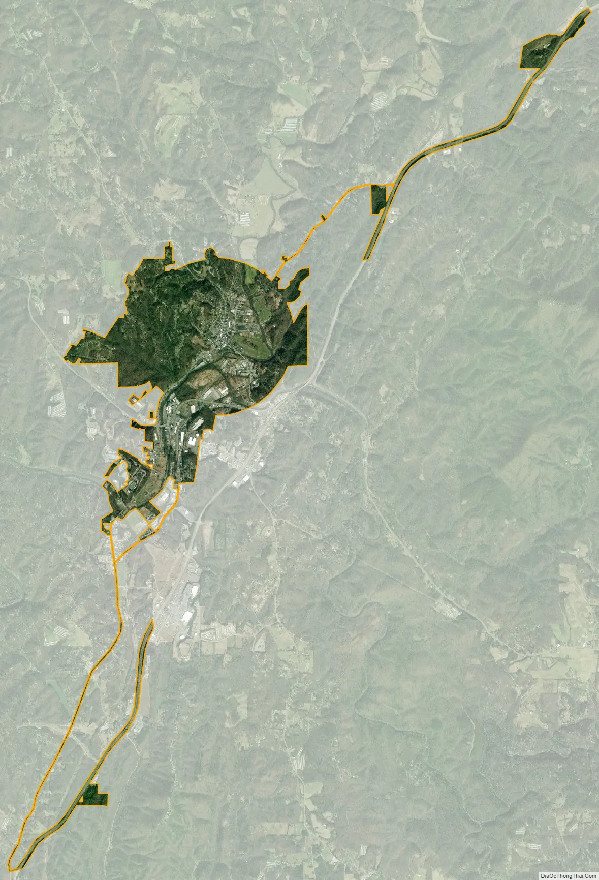
Ellijay city Satellite Map
Geography
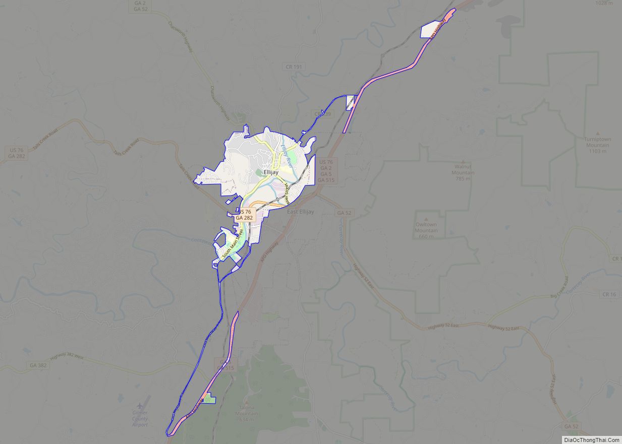
According to the United States Census Bureau, the city has a total area of 3.6 square miles (9.2 km), all land. It is situated at the confluence of the Ellijay and Cartecay rivers, which together form the Coosawattee River. The Coosawattee flows west as part of the Oostanaula/Coosa/Alabama River watershed. The county seat is bordered to the east and south by the city of East Ellijay.
Climate
Ellijay lies within the Humid subtropical climate zone along with the majority of the rest of the southeastern United States. The highest elevations in the surrounding region reside in the Subtropical highland climate. Ellijay enjoys cool winters and warm summers, but neither would be considered extreme thanks to its slightly higher elevation than other areas in the south. Winter snowfall is common, but generally on the lighter side. There are a few exceptions, one being the 1993 Storm of the Century which dropped 17 inches of snow in Ellijay. Summers are warm, though mild for southern standards, with temperatures topping out in the mid 80s during the summer months. Rain is evenly distributed throughout the year averaging 57.97 inches per year, as reported from the nearest NOAA reporting station in Jasper, Georgia.
See also
Map of Georgia State and its subdivision:- Appling
- Atkinson
- Bacon
- Baker
- Baldwin
- Banks
- Barrow
- Bartow
- Ben Hill
- Berrien
- Bibb
- Bleckley
- Brantley
- Brooks
- Bryan
- Bulloch
- Burke
- Butts
- Calhoun
- Camden
- Candler
- Carroll
- Catoosa
- Charlton
- Chatham
- Chattahoochee
- Chattooga
- Cherokee
- Clarke
- Clay
- Clayton
- Clinch
- Cobb
- Coffee
- Colquitt
- Columbia
- Cook
- Coweta
- Crawford
- Crisp
- Dade
- Dawson
- Decatur
- DeKalb
- Dodge
- Dooly
- Dougherty
- Douglas
- Early
- Echols
- Effingham
- Elbert
- Emanuel
- Evans
- Fannin
- Fayette
- Floyd
- Forsyth
- Franklin
- Fulton
- Gilmer
- Glascock
- Glynn
- Gordon
- Grady
- Greene
- Gwinnett
- Habersham
- Hall
- Hancock
- Haralson
- Harris
- Hart
- Heard
- Henry
- Houston
- Irwin
- Jackson
- Jasper
- Jeff Davis
- Jefferson
- Jenkins
- Johnson
- Jones
- Lamar
- Lanier
- Laurens
- Lee
- Liberty
- Lincoln
- Long
- Lowndes
- Lumpkin
- Macon
- Madison
- Marion
- McDuffie
- McIntosh
- Meriwether
- Miller
- Mitchell
- Monroe
- Montgomery
- Morgan
- Murray
- Muscogee
- Newton
- Oconee
- Oglethorpe
- Paulding
- Peach
- Pickens
- Pierce
- Pike
- Polk
- Pulaski
- Putnam
- Quitman
- Rabun
- Randolph
- Richmond
- Rockdale
- Schley
- Screven
- Seminole
- Spalding
- Stephens
- Stewart
- Sumter
- Talbot
- Taliaferro
- Tattnall
- Taylor
- Telfair
- Terrell
- Thomas
- Tift
- Toombs
- Towns
- Treutlen
- Troup
- Turner
- Twiggs
- Union
- Upson
- Walker
- Walton
- Ware
- Warren
- Washington
- Wayne
- Webster
- Wheeler
- White
- Whitfield
- Wilcox
- Wilkes
- Wilkinson
- Worth
- Alabama
- Alaska
- Arizona
- Arkansas
- California
- Colorado
- Connecticut
- Delaware
- District of Columbia
- Florida
- Georgia
- Hawaii
- Idaho
- Illinois
- Indiana
- Iowa
- Kansas
- Kentucky
- Louisiana
- Maine
- Maryland
- Massachusetts
- Michigan
- Minnesota
- Mississippi
- Missouri
- Montana
- Nebraska
- Nevada
- New Hampshire
- New Jersey
- New Mexico
- New York
- North Carolina
- North Dakota
- Ohio
- Oklahoma
- Oregon
- Pennsylvania
- Rhode Island
- South Carolina
- South Dakota
- Tennessee
- Texas
- Utah
- Vermont
- Virginia
- Washington
- West Virginia
- Wisconsin
- Wyoming