Metter is a city in Candler County, Georgia, United States. The population was 4,004 at the 2010 census. The city is the county seat of Candler County.
| Name: | Metter city |
|---|---|
| LSAD Code: | 25 |
| LSAD Description: | city (suffix) |
| State: | Georgia |
| County: | Candler County |
| Elevation: | 220 ft (67 m) |
| Total Area: | 7.68 sq mi (19.90 km²) |
| Land Area: | 7.50 sq mi (19.42 km²) |
| Water Area: | 0.19 sq mi (0.48 km²) |
| Total Population: | 4,004 |
| Population Density: | 534.01/sq mi (206.18/km²) |
| ZIP code: | 30439 |
| Area code: | 912 |
| FIPS code: | 1351072 |
| GNISfeature ID: | 0318060 |
| Website: | www.metter-candler.com |
Online Interactive Map
Click on ![]() to view map in "full screen" mode.
to view map in "full screen" mode.
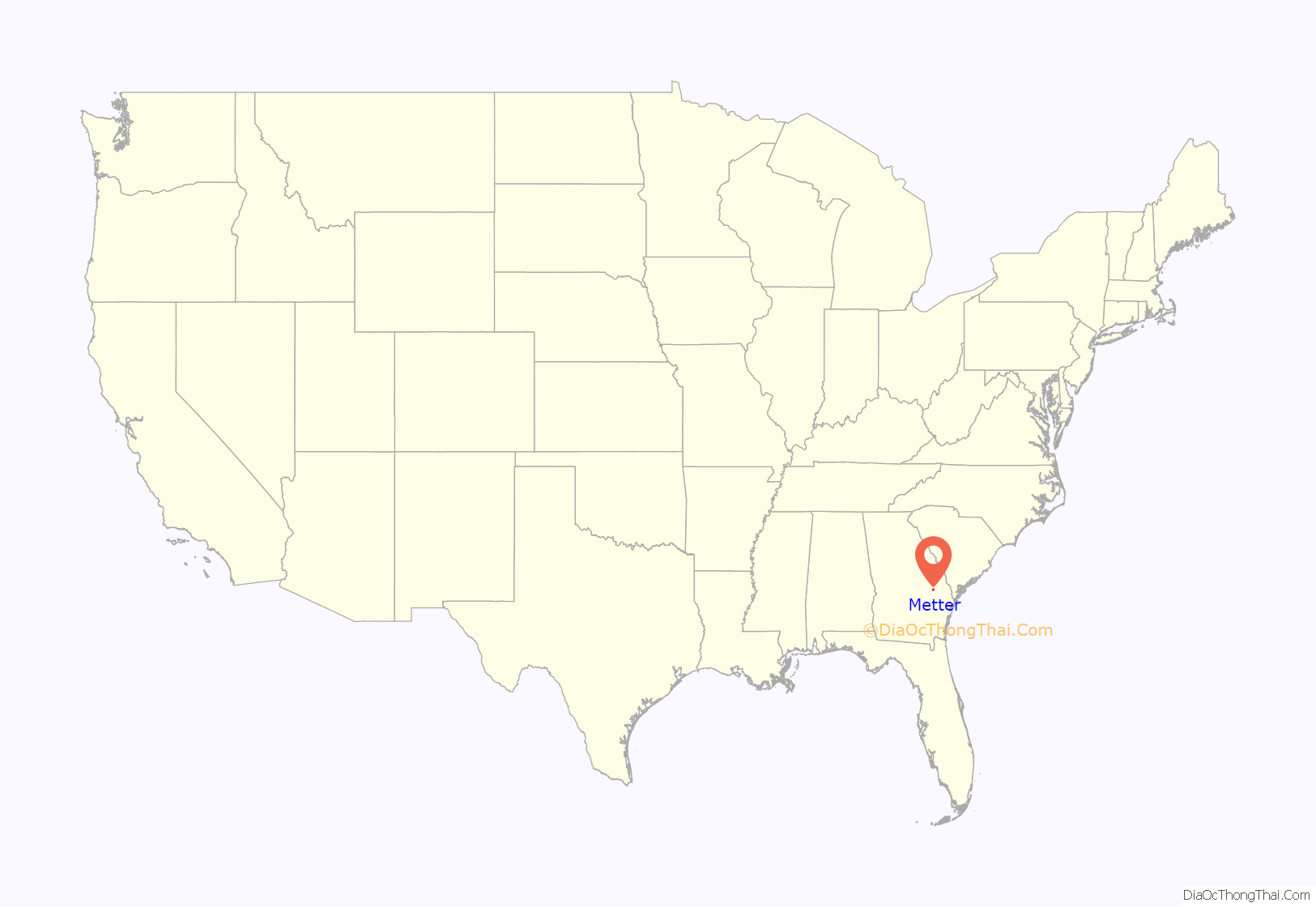
Metter location map. Where is Metter city?
History
Metter was founded in 1889. In 1914, Metter was designated seat of the newly formed Candler County. Metter was incorporated as a town in 1903 and as a city in 1920.
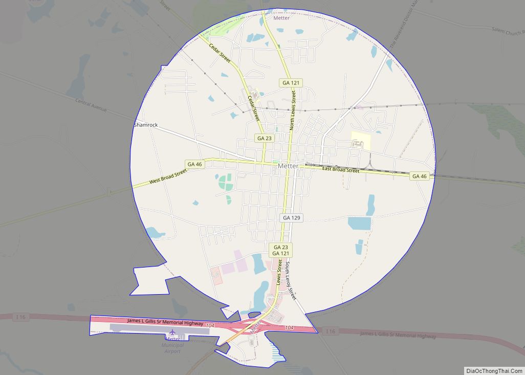
Metter Road Map
Metter city Satellite Map
Geography
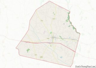
Metter is located near the center of Candler County at 32°23′47″N 82°03′45″W / 32.396253°N 82.062414°W / 32.396253; -82.062414, in eastern Georgia. Interstate 16 touches the southern edge of the city, leading east 63 miles (101 km) to Savannah, and west 102 miles (164 km) to Macon. A short, tree-lined parkway leads from I-16 to the downtown area.
According to the United States Census Bureau, Metter has a total area of 7.9 square miles (20.4 km), of which 7.7 square miles (19.9 km) is land and 0.19 square miles (0.5 km), or 2.53%, is water.
Longtime residents use the slogan “Everything’s Better in Metter”.
Metter may be best known as the home of “The Sower”, Michael Guido, who has delivered short evangelical PSAs on late-night television nationwide for decades. Dr. Guido’s messages were filmed at Guido Gardens, which houses a public botanical garden and a school of ministry. Guido died at the age of 94 on February 22, 2009. His messages were aired on TV stations in the Georgia and South Carolina region.
A prominent event in Metter is Another Bloomin’ Festival, an arts and crafts festival held the day before Easter. The festival draws thousands of out-of-town residents, who come to enjoy homemade desserts, barbecue, and crafts. In addition, it serves as a homecoming celebration for former residents who have returned to celebrate the holiday with their families.
Climate
See also
Map of Georgia State and its subdivision:- Appling
- Atkinson
- Bacon
- Baker
- Baldwin
- Banks
- Barrow
- Bartow
- Ben Hill
- Berrien
- Bibb
- Bleckley
- Brantley
- Brooks
- Bryan
- Bulloch
- Burke
- Butts
- Calhoun
- Camden
- Candler
- Carroll
- Catoosa
- Charlton
- Chatham
- Chattahoochee
- Chattooga
- Cherokee
- Clarke
- Clay
- Clayton
- Clinch
- Cobb
- Coffee
- Colquitt
- Columbia
- Cook
- Coweta
- Crawford
- Crisp
- Dade
- Dawson
- Decatur
- DeKalb
- Dodge
- Dooly
- Dougherty
- Douglas
- Early
- Echols
- Effingham
- Elbert
- Emanuel
- Evans
- Fannin
- Fayette
- Floyd
- Forsyth
- Franklin
- Fulton
- Gilmer
- Glascock
- Glynn
- Gordon
- Grady
- Greene
- Gwinnett
- Habersham
- Hall
- Hancock
- Haralson
- Harris
- Hart
- Heard
- Henry
- Houston
- Irwin
- Jackson
- Jasper
- Jeff Davis
- Jefferson
- Jenkins
- Johnson
- Jones
- Lamar
- Lanier
- Laurens
- Lee
- Liberty
- Lincoln
- Long
- Lowndes
- Lumpkin
- Macon
- Madison
- Marion
- McDuffie
- McIntosh
- Meriwether
- Miller
- Mitchell
- Monroe
- Montgomery
- Morgan
- Murray
- Muscogee
- Newton
- Oconee
- Oglethorpe
- Paulding
- Peach
- Pickens
- Pierce
- Pike
- Polk
- Pulaski
- Putnam
- Quitman
- Rabun
- Randolph
- Richmond
- Rockdale
- Schley
- Screven
- Seminole
- Spalding
- Stephens
- Stewart
- Sumter
- Talbot
- Taliaferro
- Tattnall
- Taylor
- Telfair
- Terrell
- Thomas
- Tift
- Toombs
- Towns
- Treutlen
- Troup
- Turner
- Twiggs
- Union
- Upson
- Walker
- Walton
- Ware
- Warren
- Washington
- Wayne
- Webster
- Wheeler
- White
- Whitfield
- Wilcox
- Wilkes
- Wilkinson
- Worth
- Alabama
- Alaska
- Arizona
- Arkansas
- California
- Colorado
- Connecticut
- Delaware
- District of Columbia
- Florida
- Georgia
- Hawaii
- Idaho
- Illinois
- Indiana
- Iowa
- Kansas
- Kentucky
- Louisiana
- Maine
- Maryland
- Massachusetts
- Michigan
- Minnesota
- Mississippi
- Missouri
- Montana
- Nebraska
- Nevada
- New Hampshire
- New Jersey
- New Mexico
- New York
- North Carolina
- North Dakota
- Ohio
- Oklahoma
- Oregon
- Pennsylvania
- Rhode Island
- South Carolina
- South Dakota
- Tennessee
- Texas
- Utah
- Vermont
- Virginia
- Washington
- West Virginia
- Wisconsin
- Wyoming


