Big Stone Gap is a town in Wise County, Virginia, United States. The town was economically centered around the coal industry for much of its early development. The population was 5,254 at the 2020 census.
| Name: | Big Stone Gap town |
|---|---|
| LSAD Code: | 43 |
| LSAD Description: | town (suffix) |
| State: | Virginia |
| County: | Wise County |
| Elevation: | 1,535 ft (468 m) |
| Total Area: | 5.03 sq mi (13.02 km²) |
| Land Area: | 4.93 sq mi (12.78 km²) |
| Water Area: | 0.09 sq mi (0.24 km²) |
| Total Population: | 5,643 |
| Population Density: | 1,039.92/sq mi (401.48/km²) |
| ZIP code: | 24219 |
| Area code: | 276 Exchange: 523 |
| FIPS code: | 5107480 |
| GNISfeature ID: | 1496805 |
| Website: | bigstonegap.org |
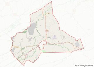
Online Interactive Map
Click on ![]() to view map in "full screen" mode.
to view map in "full screen" mode.
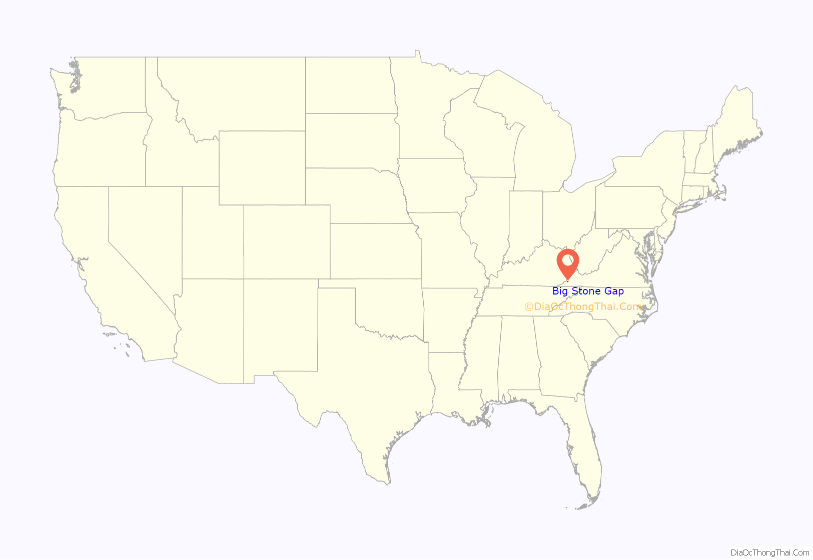
Big Stone Gap location map. Where is Big Stone Gap town?
History
The community was formerly known as “Mineral City” and “Three Forks” before officially taking its name in 1888. The “Big Stone Gap” refers to the valley created on the Appalachia Straight, located between the town and Appalachia. The town served as an important center for coal and iron development in the 1880s and 1890s and residents hoped its coal and iron ore deposits would make it “the Pittsburgh of the South.”
The Big Stone Gap post office was established in 1856. The Christ Episcopal Church, John Fox, Jr. House, Southwest Virginia Museum Historical State Park, Terrace Park Girl Scout Cabin, June Tolliver House, and C. Bascom Slemp Federal Building are listed on the National Register of Historic Places.
In October 1978, John W. Warner, then the Republican candidate for U.S. Senate from Virginia, and his wife, British-American actress Elizabeth Taylor, stopped in Big Stone Gap to campaign for his upcoming election. At Fraley’s Coach House, a local diner where they were each meeting with voters, Taylor choked on a chicken bone in her esophagus and was transported to the nearby Lonesome Pine Regional Hospital. Taylor recovered from the event and later sent a donation to the hospital as a thank you.
In 2014, the American drama romantic comedy film Big Stone Gap, written and directed by Big Stone Gap native Adriana Trigiani and produced by Donna Gigliotti, began filming in the town. The film starred Ashley Judd, Patrick Wilson, Whoopi Goldberg, and others, including local talent for many of the background extras in larger scenes. The movie was based on Trigiani’s 2000 novel of the same name and was produced on a $3.5-million budget. The film premiered at the Virginia Film Festival on November 6, 2014 and expanded to a wider release of over 100 theaters in 2015.
Big Stone Gap became the first locality in the nation to pass a resolution in support of the federal Black Lung Disability Trust Fund on August 16, 2018. The measure passed unanimously and urged Congress to support the existing tax rate at the time.
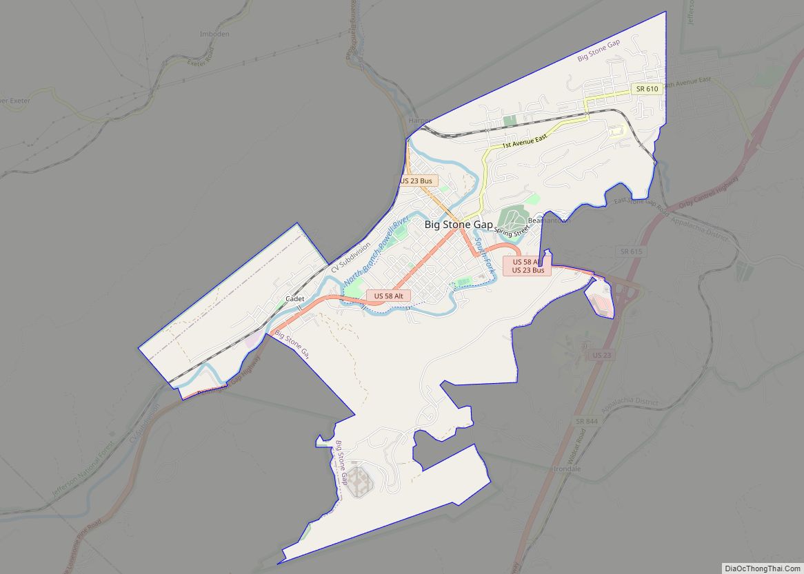
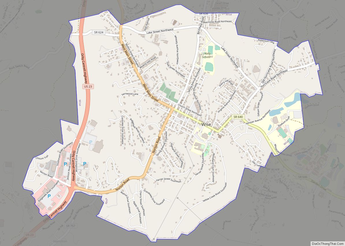
Big Stone Gap Road Map
Big Stone Gap city Satellite Map
Geography
Big Stone Gap is located at 36°52′02″N 82°46′28″W / 36.867165°N 82.774471°W / 36.867165; -82.774471 (36.867165, −82.774471).
According to the United States Census Bureau, the town has a total area of 4.9 square miles (12.6 km), all of which is land.
Big Stone Gap is at the junction of U.S. Route 23 and U.S. Route 58 Alternate.
Big Stone Gap is closer to the state capitals of seven other states than it is to Richmond, VA, its own state capital, based on highway mileage. The other state capitals are Columbus, OH; Frankfort, KY; Charleston, WV; Nashville, TN; Raleigh, NC; Columbia, SC; and Atlanta, GA. Additionally, Indianapolis, IN is only six miles farther than Big Stone Gap is from Richmond.
Climate
Big Stone Gap has a humid subtropical climate (Köppen climate classification Cfa).
See also
Map of Virginia State and its subdivision:- Accomack
- Albemarle
- Alexandria
- Alleghany
- Amelia
- Amherst
- Appomattox
- Arlington
- Augusta
- Bath
- Bedford
- Bedford City
- Bland
- Botetourt
- Bristol
- Brunswick
- Buchanan
- Buckingham
- Buena Vista
- Campbell
- Caroline
- Carroll
- Charles City
- Charlotte
- Charlottesville
- Chesapeake
- Chesterfield
- Clarke
- Clifton Forge City
- Colonial Heights
- Covington
- Craig
- Culpeper
- Cumberland
- Danville
- Dickenson
- Dinwiddie
- Emporia
- Essex
- Fairfax
- Fairfax City
- Falls Church
- Fauquier
- Floyd
- Fluvanna
- Franklin
- Frederick
- Fredericksburg
- Galax
- Giles
- Gloucester
- Goochland
- Grayson
- Greene
- Greensville
- Halifax
- Hampton
- Hanover
- Harrisonburg
- Henrico
- Henry
- Highland
- Hopewell
- Isle of Wight
- James City
- King and Queen
- King George
- King William
- Lancaster
- Lee
- Lexington
- Loudoun
- Louisa
- Lunenburg
- Lynchburg
- Madison
- Manassas
- Manassas Park
- Martinsville
- Mathews
- Mecklenburg
- Middlesex
- Montgomery
- Nelson
- New Kent
- Newport News
- Norfolk
- Northampton
- Northumberland
- Norton
- Nottoway
- Orange
- Page
- Patrick
- Petersburg
- Pittsylvania
- Poquoson
- Portsmouth
- Powhatan
- Prince Edward
- Prince George
- Prince William
- Pulaski
- Radford
- Rappahannock
- Richmond
- Roanoke
- Roanoke City
- Rockbridge
- Rockingham
- Russell
- Salem
- Scott
- Shenandoah
- Smyth
- Southampton
- Spotsylvania
- Stafford
- Staunton
- Suffolk
- Surry
- Sussex
- Tazewell
- Virginia Beach
- Warren
- Washington
- Waynesboro
- Westmoreland
- Williamsburg
- Winchester
- Wise
- Wythe
- York
- Alabama
- Alaska
- Arizona
- Arkansas
- California
- Colorado
- Connecticut
- Delaware
- District of Columbia
- Florida
- Georgia
- Hawaii
- Idaho
- Illinois
- Indiana
- Iowa
- Kansas
- Kentucky
- Louisiana
- Maine
- Maryland
- Massachusetts
- Michigan
- Minnesota
- Mississippi
- Missouri
- Montana
- Nebraska
- Nevada
- New Hampshire
- New Jersey
- New Mexico
- New York
- North Carolina
- North Dakota
- Ohio
- Oklahoma
- Oregon
- Pennsylvania
- Rhode Island
- South Carolina
- South Dakota
- Tennessee
- Texas
- Utah
- Vermont
- Virginia
- Washington
- West Virginia
- Wisconsin
- Wyoming
