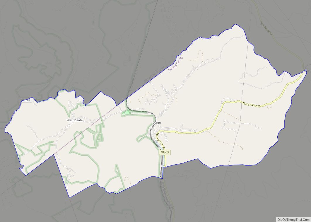
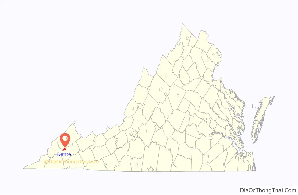
Dante is a census-designated place in Russell and Dickenson counties, Virginia, in the United States. The population as of the 2010 Census was 649.
| Name: | Dante CDP |
|---|---|
| LSAD Code: | 57 |
| LSAD Description: | CDP (suffix) |
| State: | Virginia |
| County: | Dickenson County, Russell County |
| Elevation: | 1,765 ft (538 m) |
| Total Area: | 7.02 sq mi (18.17 km²) |
| Land Area: | 7.01 sq mi (18.15 km²) |
| Water Area: | 0.008 sq mi (0.02 km²) |
| Total Population: | 649 |
| Population Density: | 93/sq mi (35.8/km²) |
| ZIP code: | 24237 |
| FIPS code: | 5121312 |
| GNISfeature ID: | 2630763 |
| Website: | http://danteva.org/ |
Online Interactive Map
Click on ![]() to view map in "full screen" mode.
to view map in "full screen" mode.
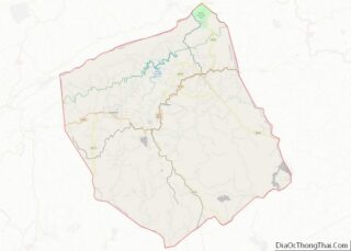
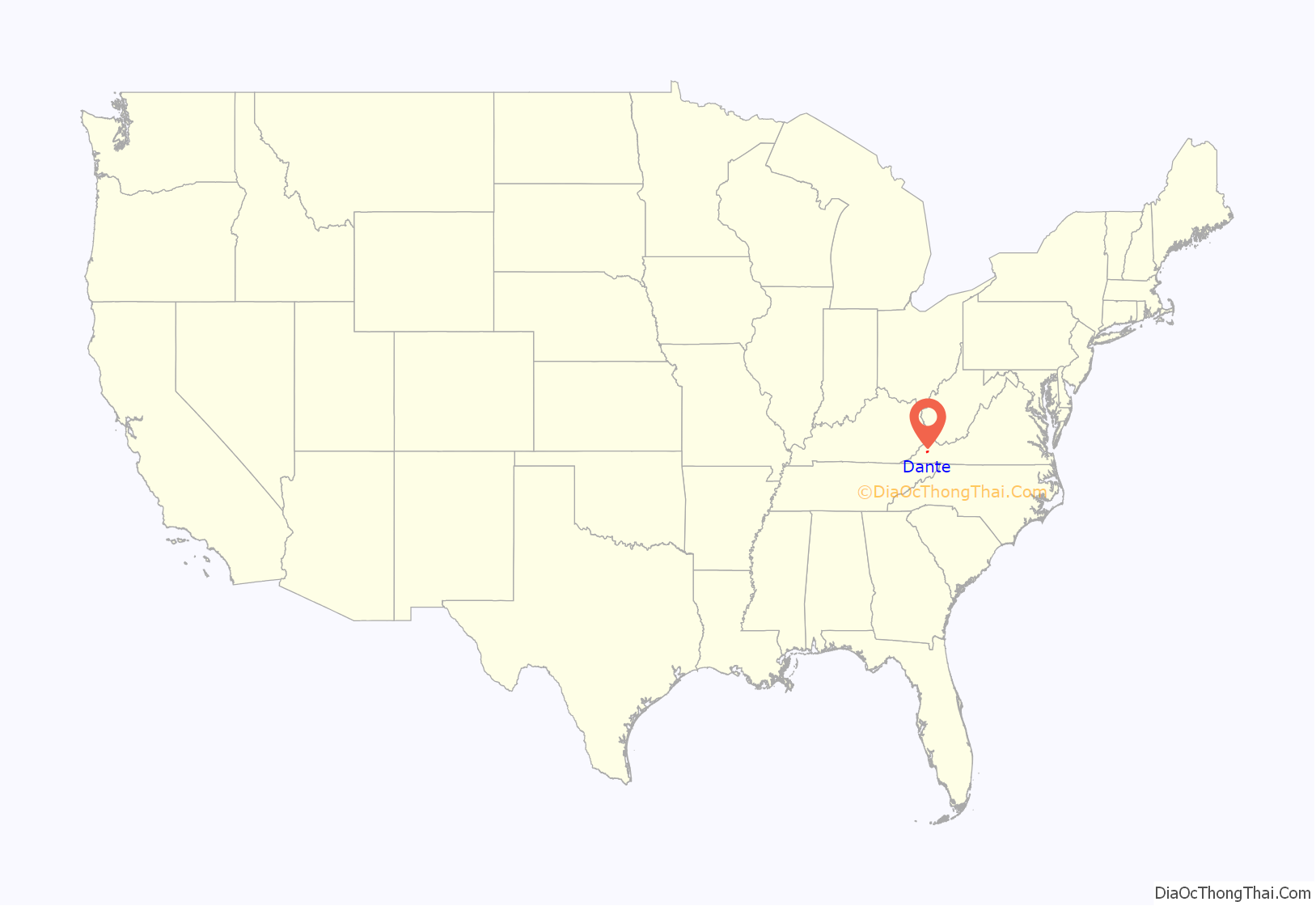
Dante location map. Where is Dante CDP?
History
Dante (rhymed with “paint”, sometimes rhymed with “pant”, but never rhymed with “Dante Alighieri”) was originally called “Turkeyfoot” due to the confluence of hollows. It was originally settled in the late 1700s and early 1800s by western frontiersmen.
Explosive growth occurred in the early 1900s with the discovery and exploitation of numerous bituminous coal seams. Southern industrialist George L. Carter made it the northern terminus of the Clinchfield Railroad and the headquarters of the Clinchfield Coal Company, which began to mine the nearby hollows (mainly Bear Wallow and Straight Hollow) during the early part of the 20th century. As a result, immigrants from Germany, Hungary, Greece, Poland and other central European countries flocked to the area. In 1912, the construction of the Sandy Ridge Tunnel just north of Dante allowed the Clinchfield Railroad to extend all the way to Elkhorn City, Kentucky. The coal seams surrounding the community were largely exhausted by the mid-1960s and were closed in favor of new mines such as Moss #3 (A, B, C and D mines) in Duty, Virginia.
Dante was mostly a decaying coal town until 2016, when a renewed interest from its residents prompted community organizations to begin discussions on a path to revitalization. This plan has included reestablishment of a general store and redevelopment of the many abandoned Clinchfield Railroad grades and mine tramways into ATV trails. CSX Transportation terminated rail crew operations at Dante Yard in 2015, and the Clinchfield Coal Company offices are now apartments.
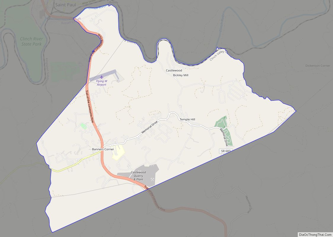
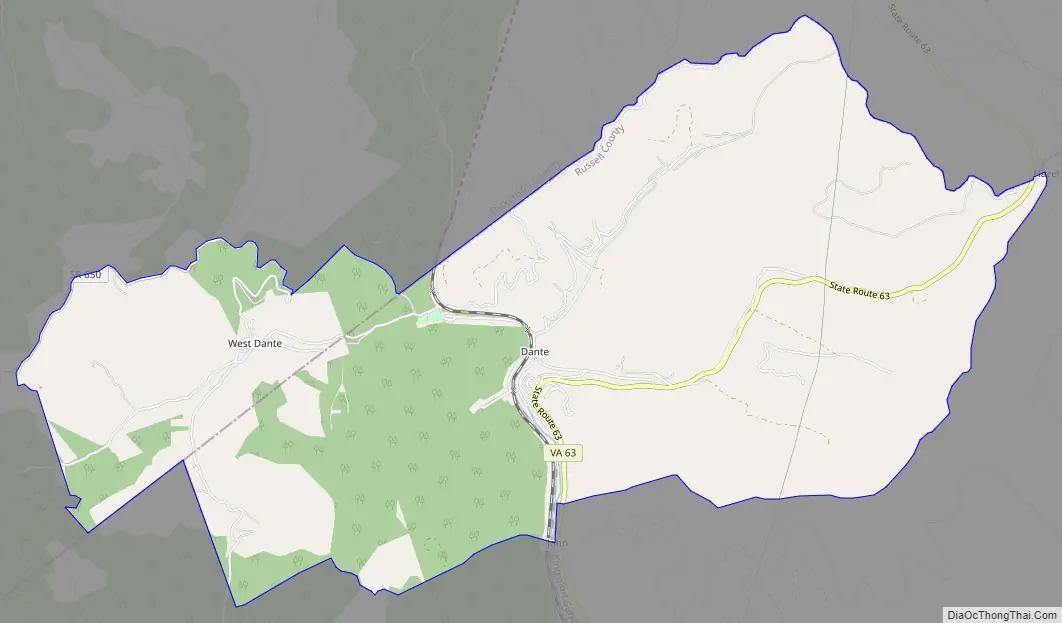
Dante Road Map
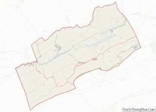
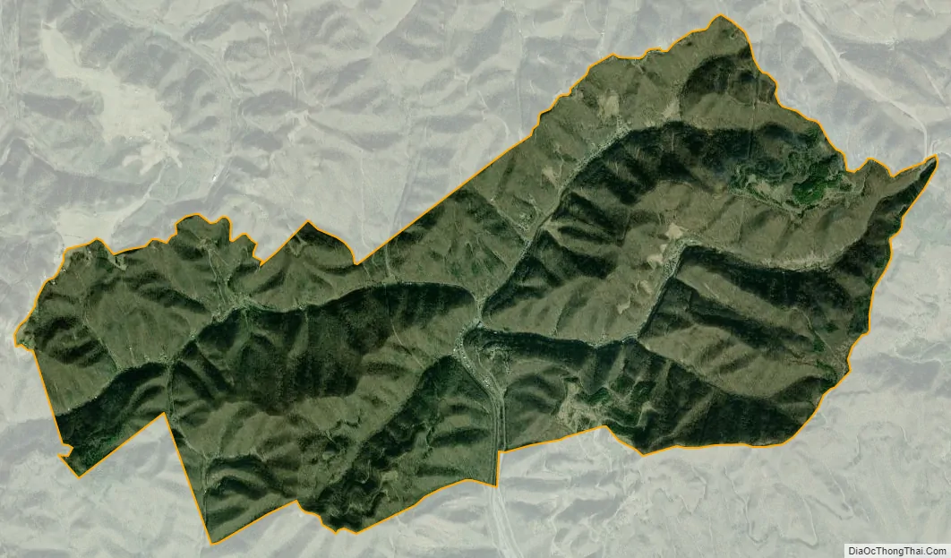
Dante city Satellite Map
Geography
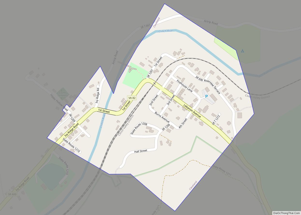
Dante is located in northwestern Russell County. The Dante CDP extends west into Dickenson County to include the settlement of West Dante. The communities are located in the valley of Lick Creek, which flows south to the Clinch River at St. Paul, and is thus part of the Tennessee River watershed. Sandy Ridge, overlooking Dante to the north, lies along the Tennessee Valley Divide, with waters on the opposite side flowing north via the McClure River to the Russell Fork/Levisa Fork/Big Sandy River system, reaching the Ohio River near Huntington, West Virginia.
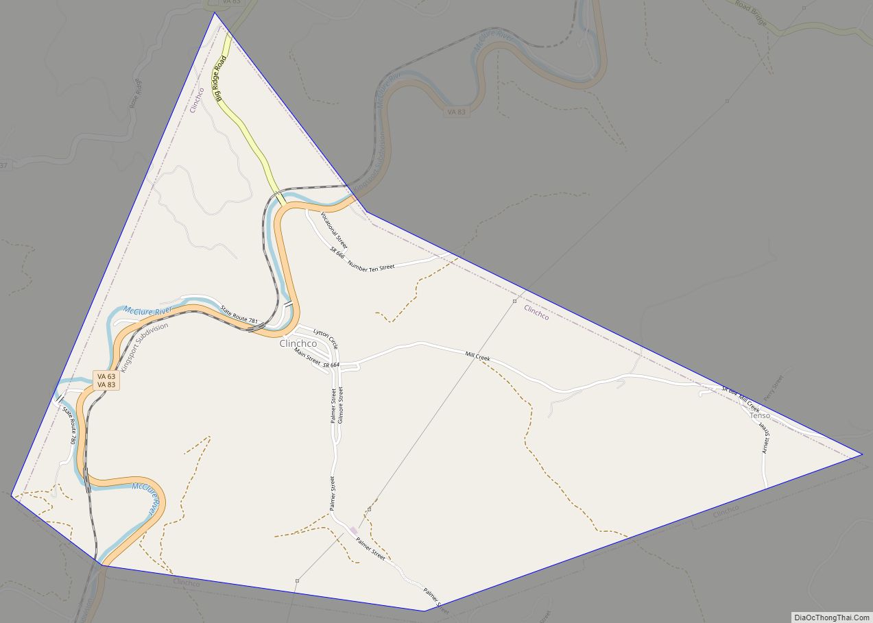
Dante is 7.5 miles (12.1 km) north of St. Paul and 21 miles (34 km) south of Clinchco via Virginia State Route 63.
See also
Map of Virginia State and its subdivision:- Accomack
- Albemarle
- Alexandria
- Alleghany
- Amelia
- Amherst
- Appomattox
- Arlington
- Augusta
- Bath
- Bedford
- Bedford City
- Bland
- Botetourt
- Bristol
- Brunswick
- Buchanan
- Buckingham
- Buena Vista
- Campbell
- Caroline
- Carroll
- Charles City
- Charlotte
- Charlottesville
- Chesapeake
- Chesterfield
- Clarke
- Clifton Forge City
- Colonial Heights
- Covington
- Craig
- Culpeper
- Cumberland
- Danville
- Dickenson
- Dinwiddie
- Emporia
- Essex
- Fairfax
- Fairfax City
- Falls Church
- Fauquier
- Floyd
- Fluvanna
- Franklin
- Frederick
- Fredericksburg
- Galax
- Giles
- Gloucester
- Goochland
- Grayson
- Greene
- Greensville
- Halifax
- Hampton
- Hanover
- Harrisonburg
- Henrico
- Henry
- Highland
- Hopewell
- Isle of Wight
- James City
- King and Queen
- King George
- King William
- Lancaster
- Lee
- Lexington
- Loudoun
- Louisa
- Lunenburg
- Lynchburg
- Madison
- Manassas
- Manassas Park
- Martinsville
- Mathews
- Mecklenburg
- Middlesex
- Montgomery
- Nelson
- New Kent
- Newport News
- Norfolk
- Northampton
- Northumberland
- Norton
- Nottoway
- Orange
- Page
- Patrick
- Petersburg
- Pittsylvania
- Poquoson
- Portsmouth
- Powhatan
- Prince Edward
- Prince George
- Prince William
- Pulaski
- Radford
- Rappahannock
- Richmond
- Roanoke
- Roanoke City
- Rockbridge
- Rockingham
- Russell
- Salem
- Scott
- Shenandoah
- Smyth
- Southampton
- Spotsylvania
- Stafford
- Staunton
- Suffolk
- Surry
- Sussex
- Tazewell
- Virginia Beach
- Warren
- Washington
- Waynesboro
- Westmoreland
- Williamsburg
- Winchester
- Wise
- Wythe
- York
- Alabama
- Alaska
- Arizona
- Arkansas
- California
- Colorado
- Connecticut
- Delaware
- District of Columbia
- Florida
- Georgia
- Hawaii
- Idaho
- Illinois
- Indiana
- Iowa
- Kansas
- Kentucky
- Louisiana
- Maine
- Maryland
- Massachusetts
- Michigan
- Minnesota
- Mississippi
- Missouri
- Montana
- Nebraska
- Nevada
- New Hampshire
- New Jersey
- New Mexico
- New York
- North Carolina
- North Dakota
- Ohio
- Oklahoma
- Oregon
- Pennsylvania
- Rhode Island
- South Carolina
- South Dakota
- Tennessee
- Texas
- Utah
- Vermont
- Virginia
- Washington
- West Virginia
- Wisconsin
- Wyoming