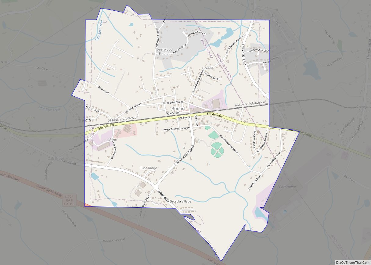
Bogart is a town in Clarke and Oconee counties in the U.S. state of Georgia. The town is mostly in Oconee County, with a portion extending into Clarke County. As of the 2020 census, the city had a population of 1,326. The 30622 ZIP code extends outside the boundary of Bogart into the western portion of Athens, giving some of Athens’ citizens Bogart mailing addresses. For the Oconee County area of Bogart, the high school is North Oconee High School and the middle school is Malcom Bridge Middle School; for the Clarke County area of Bogart, the high school is Clarke Central High School and the middle school is Burney-Harris-Lyons Middle School.
| Name: | Bogart town |
|---|---|
| LSAD Code: | 43 |
| LSAD Description: | town (suffix) |
| State: | Georgia |
| County: | Clarke County, Oconee County |
| Elevation: | 820 ft (250 m) |
| Total Area: | 2.52 sq mi (6.53 km²) |
| Land Area: | 2.50 sq mi (6.49 km²) |
| Water Area: | 0.01 sq mi (0.04 km²) |
| Total Population: | 1,326 |
| Population Density: | 529.55/sq mi (204.42/km²) |
| ZIP code: | 30622 |
| Area code: | 470/678/770 |
| FIPS code: | 1309068 |
| GNISfeature ID: | 2405294 |
| Website: | http://www.cityofbogart.com |
Online Interactive Map
Click on ![]() to view map in "full screen" mode.
to view map in "full screen" mode.
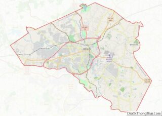
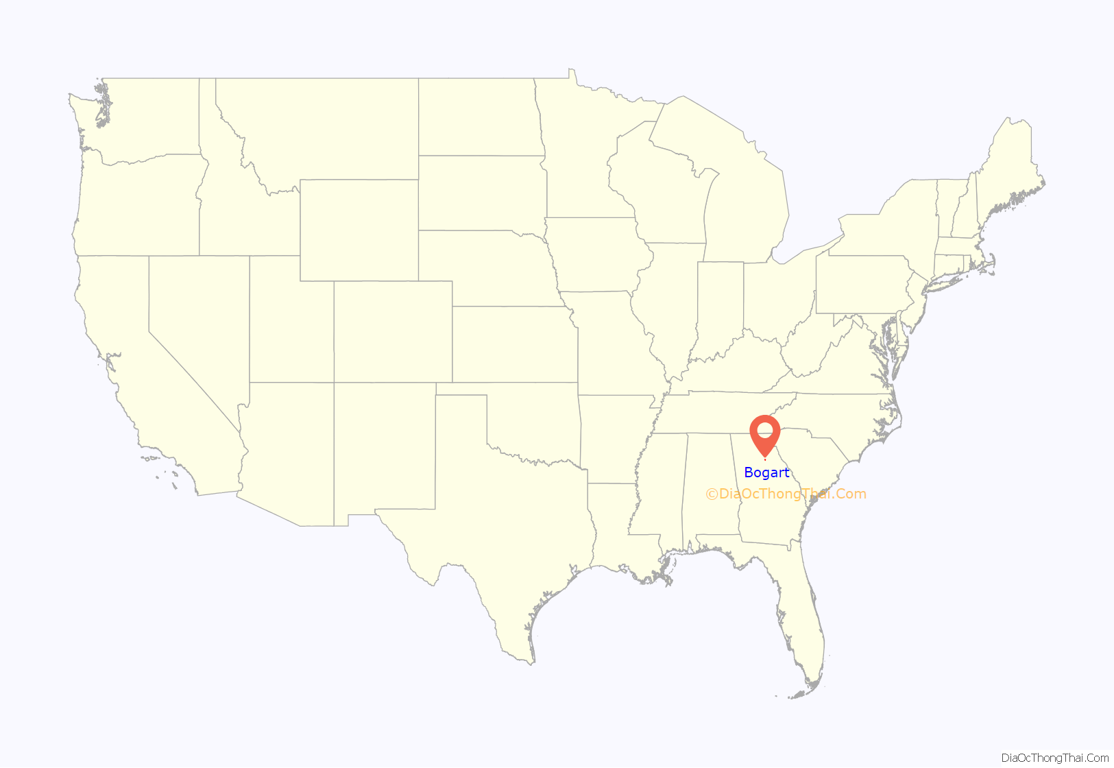
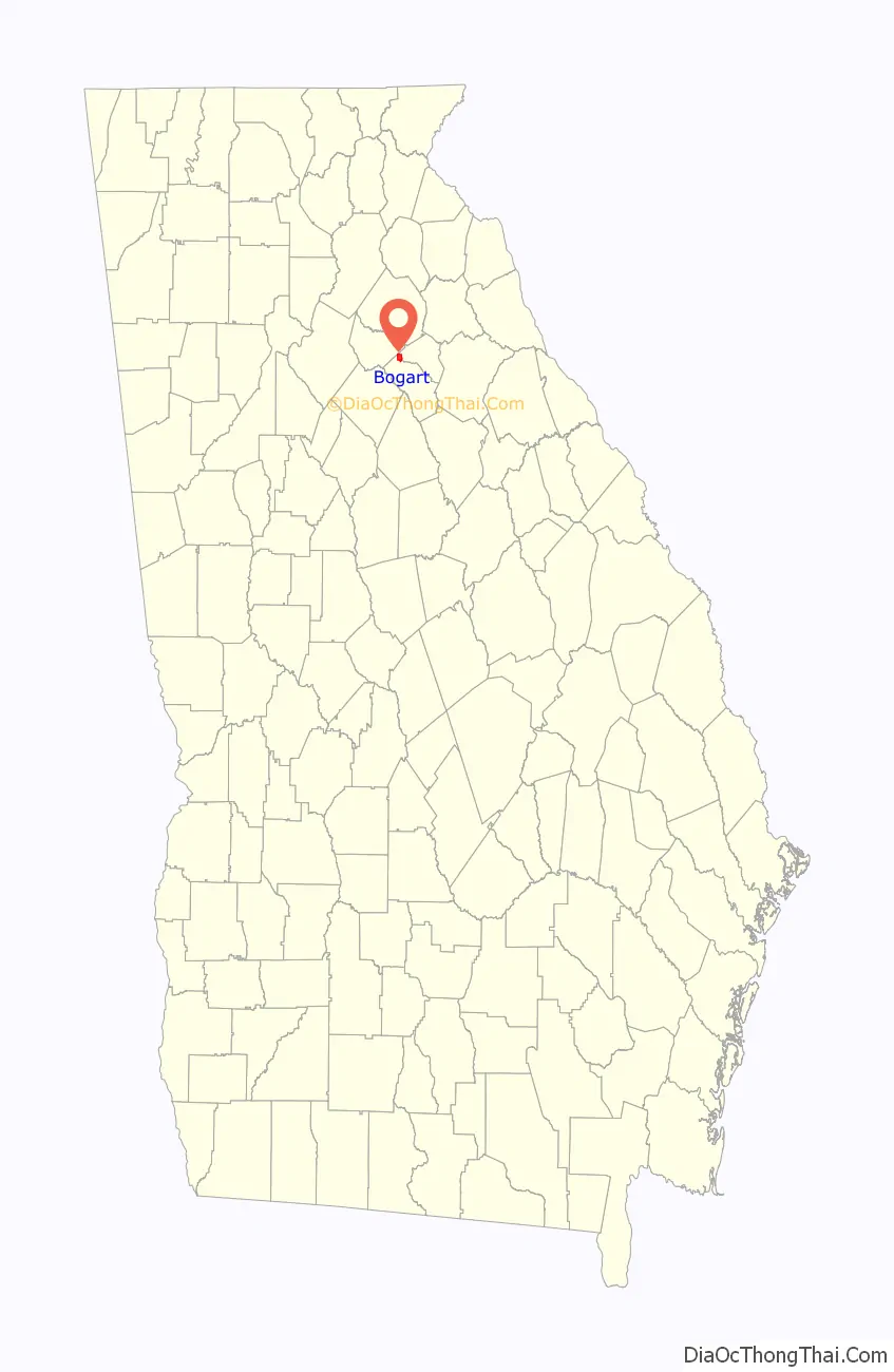
Bogart location map. Where is Bogart town?
History
The town was originally named for the influential Creek-Seminole leader Osceola. In 1892, the city was renamed Bogart in honor of a locally respected railroad agent after learning that another Georgia community, in Terrell County, was also called Osceola. Bogart was once part of Franklin County, then Jackson County, and now sits in Oconee County with a small portion located in Clarke County. Many of the settlers who came to Bogart, came in during the Land Lottery of 1820. When the train from Athens to Atlanta was built in the 1890s, life flourished in Bogart. The city of Bogart was incorporated in 1905. The thriving city had a bank, a mercantile store, a boarding house, a drug store, a railroad depot, three cotton gins, a post office, blacksmith shops, a school, several churches, and gristmills.
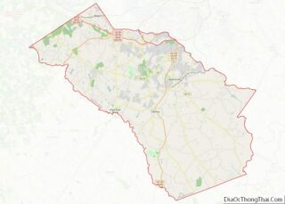
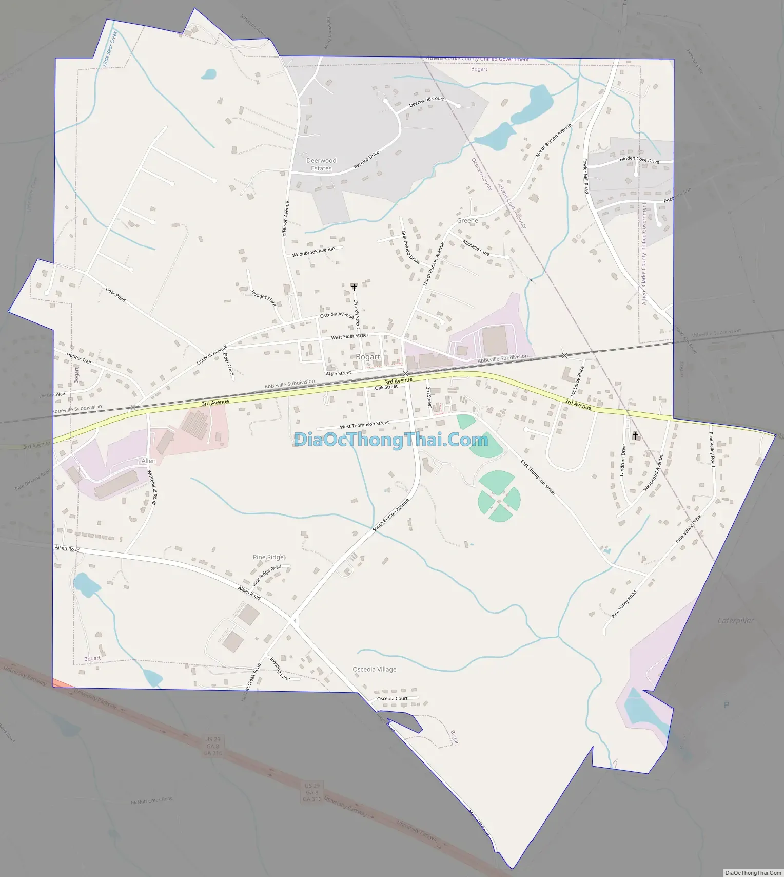
Bogart Road Map
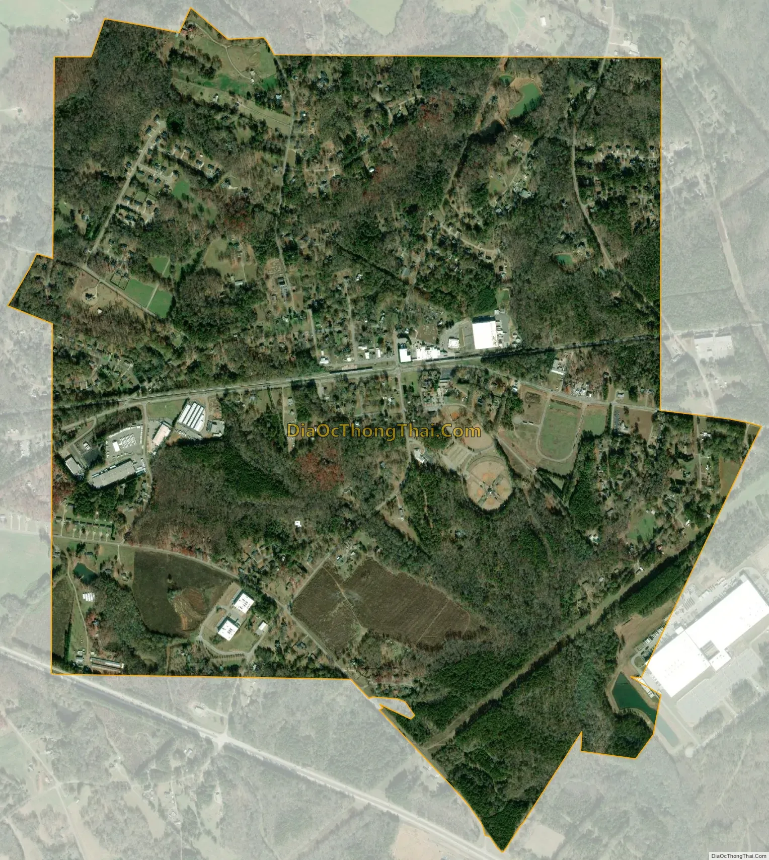
Bogart city Satellite Map
Geography
According to the United States Census Bureau, the town has a total area of 2.4 square miles (6.2 km), of which 2.4 square miles (6.2 km) is land and 0.42% is water.
See also
Map of Georgia State and its subdivision:- Appling
- Atkinson
- Bacon
- Baker
- Baldwin
- Banks
- Barrow
- Bartow
- Ben Hill
- Berrien
- Bibb
- Bleckley
- Brantley
- Brooks
- Bryan
- Bulloch
- Burke
- Butts
- Calhoun
- Camden
- Candler
- Carroll
- Catoosa
- Charlton
- Chatham
- Chattahoochee
- Chattooga
- Cherokee
- Clarke
- Clay
- Clayton
- Clinch
- Cobb
- Coffee
- Colquitt
- Columbia
- Cook
- Coweta
- Crawford
- Crisp
- Dade
- Dawson
- Decatur
- DeKalb
- Dodge
- Dooly
- Dougherty
- Douglas
- Early
- Echols
- Effingham
- Elbert
- Emanuel
- Evans
- Fannin
- Fayette
- Floyd
- Forsyth
- Franklin
- Fulton
- Gilmer
- Glascock
- Glynn
- Gordon
- Grady
- Greene
- Gwinnett
- Habersham
- Hall
- Hancock
- Haralson
- Harris
- Hart
- Heard
- Henry
- Houston
- Irwin
- Jackson
- Jasper
- Jeff Davis
- Jefferson
- Jenkins
- Johnson
- Jones
- Lamar
- Lanier
- Laurens
- Lee
- Liberty
- Lincoln
- Long
- Lowndes
- Lumpkin
- Macon
- Madison
- Marion
- McDuffie
- McIntosh
- Meriwether
- Miller
- Mitchell
- Monroe
- Montgomery
- Morgan
- Murray
- Muscogee
- Newton
- Oconee
- Oglethorpe
- Paulding
- Peach
- Pickens
- Pierce
- Pike
- Polk
- Pulaski
- Putnam
- Quitman
- Rabun
- Randolph
- Richmond
- Rockdale
- Schley
- Screven
- Seminole
- Spalding
- Stephens
- Stewart
- Sumter
- Talbot
- Taliaferro
- Tattnall
- Taylor
- Telfair
- Terrell
- Thomas
- Tift
- Toombs
- Towns
- Treutlen
- Troup
- Turner
- Twiggs
- Union
- Upson
- Walker
- Walton
- Ware
- Warren
- Washington
- Wayne
- Webster
- Wheeler
- White
- Whitfield
- Wilcox
- Wilkes
- Wilkinson
- Worth
- Alabama
- Alaska
- Arizona
- Arkansas
- California
- Colorado
- Connecticut
- Delaware
- District of Columbia
- Florida
- Georgia
- Hawaii
- Idaho
- Illinois
- Indiana
- Iowa
- Kansas
- Kentucky
- Louisiana
- Maine
- Maryland
- Massachusetts
- Michigan
- Minnesota
- Mississippi
- Missouri
- Montana
- Nebraska
- Nevada
- New Hampshire
- New Jersey
- New Mexico
- New York
- North Carolina
- North Dakota
- Ohio
- Oklahoma
- Oregon
- Pennsylvania
- Rhode Island
- South Carolina
- South Dakota
- Tennessee
- Texas
- Utah
- Vermont
- Virginia
- Washington
- West Virginia
- Wisconsin
- Wyoming