Garden City is a city in Chatham County, Georgia, United States, located just northwest of Savannah. As of the 2020 census, the city had a population of 10,289. Part industrial and part residential, the city is home to much of the heavy industry in Chatham County. It hosts the largest and busiest ocean terminal of the Port of Savannah, the flagship operation of the Georgia Ports Authority.
Garden City was created in 1939 as Industrial City Gardens, a community intended to house the large workforce required by the new factories and chemical plants just west of downtown Savannah. Garden City is part of the Savannah Metropolitan Statistical Area.
| Name: | Garden City city |
|---|---|
| LSAD Code: | 25 |
| LSAD Description: | city (suffix) |
| State: | Georgia |
| County: | Chatham County |
| Elevation: | 16 ft (5 m) |
| Total Area: | 14.47 sq mi (37.48 km²) |
| Land Area: | 14.32 sq mi (37.08 km²) |
| Water Area: | 0.15 sq mi (0.40 km²) |
| Total Population: | 10,289 |
| Population Density: | 718.61/sq mi (277.46/km²) |
| Area code: | 912 |
| FIPS code: | 1332048 |
| GNISfeature ID: | 0331788 |
| Website: | www.gardencityga.org |
Online Interactive Map
Click on ![]() to view map in "full screen" mode.
to view map in "full screen" mode.
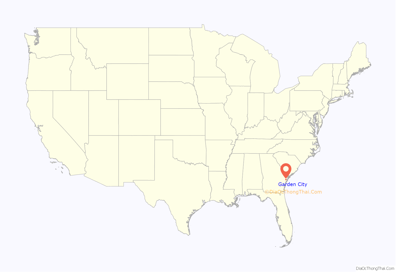
Garden City location map. Where is Garden City city?
History
From the Reconstruction Era until the 1930s, the area was home to three major plantations: Brampton, Givens and Telfair. Garden City was incorporated on February 8, 1939, as Industrial City Gardens. The name was officially changed to Garden City on March 24, 1941.
Neighborhoods and housing
The oldest inhabited section of Garden City roughly corresponds to the triangle formed by Smith Avenue, State Highway 25 (Main Street) and State Highway 21 corridors. Throughout its history, Garden City has significantly expanded westward and southward. It has acquired several residential subdivisions, which include:
Garden City is home to the following apartment complexes, rental housing units and mobile home parks:
Garden City Road Map
Garden City city Satellite Map
Geography
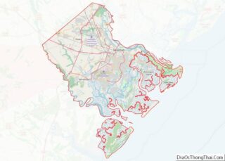
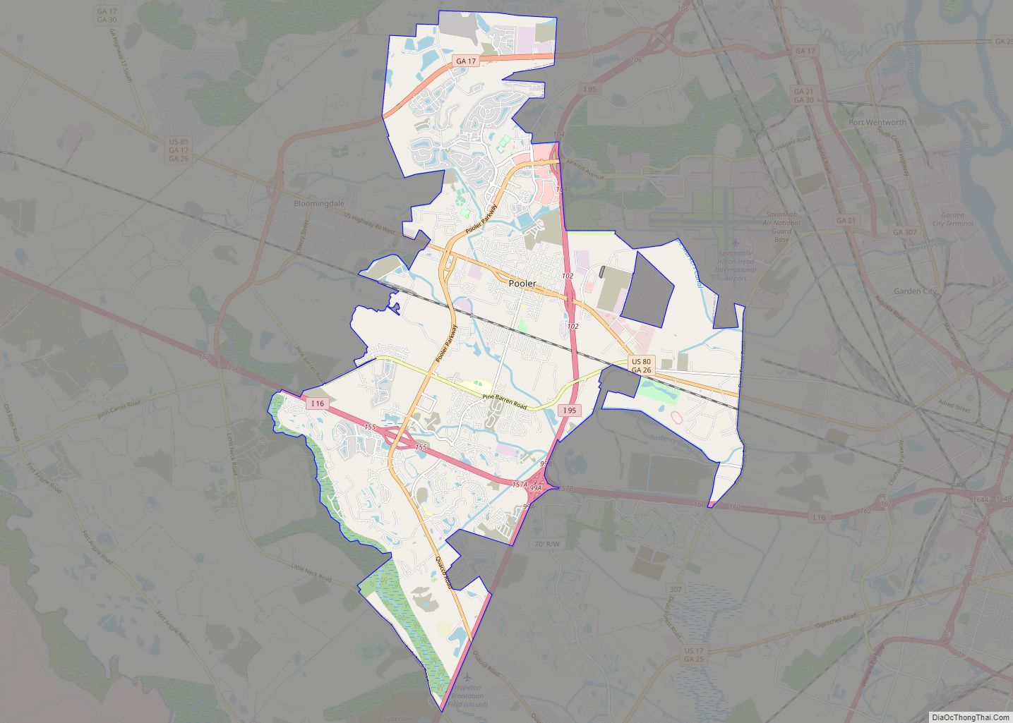
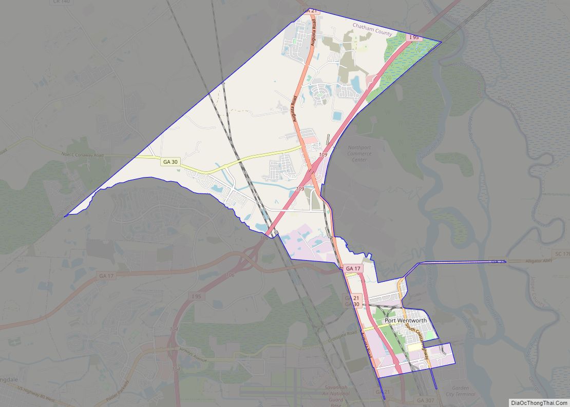
Garden City is located northwest of the center of Chatham County at 32°6′1″N 81°9′54″W / 32.10028°N 81.16500°W / 32.10028; -81.16500 (32.100372, −81.164965). It is bordered to the southeast by the city of Savannah, to the west by the city of Pooler, and to the north by the city of Port Wentworth. To the northeast in unincorporated land is the Port of Savannah and the Savannah River.
According to the United States Census Bureau, Garden City has a total area of 14.3 square miles (37.1 km), of which 13.7 square miles (35.5 km) is land and 0.62 square miles (1.6 km), or 4.35%, is water.
See also
Map of Georgia State and its subdivision:- Appling
- Atkinson
- Bacon
- Baker
- Baldwin
- Banks
- Barrow
- Bartow
- Ben Hill
- Berrien
- Bibb
- Bleckley
- Brantley
- Brooks
- Bryan
- Bulloch
- Burke
- Butts
- Calhoun
- Camden
- Candler
- Carroll
- Catoosa
- Charlton
- Chatham
- Chattahoochee
- Chattooga
- Cherokee
- Clarke
- Clay
- Clayton
- Clinch
- Cobb
- Coffee
- Colquitt
- Columbia
- Cook
- Coweta
- Crawford
- Crisp
- Dade
- Dawson
- Decatur
- DeKalb
- Dodge
- Dooly
- Dougherty
- Douglas
- Early
- Echols
- Effingham
- Elbert
- Emanuel
- Evans
- Fannin
- Fayette
- Floyd
- Forsyth
- Franklin
- Fulton
- Gilmer
- Glascock
- Glynn
- Gordon
- Grady
- Greene
- Gwinnett
- Habersham
- Hall
- Hancock
- Haralson
- Harris
- Hart
- Heard
- Henry
- Houston
- Irwin
- Jackson
- Jasper
- Jeff Davis
- Jefferson
- Jenkins
- Johnson
- Jones
- Lamar
- Lanier
- Laurens
- Lee
- Liberty
- Lincoln
- Long
- Lowndes
- Lumpkin
- Macon
- Madison
- Marion
- McDuffie
- McIntosh
- Meriwether
- Miller
- Mitchell
- Monroe
- Montgomery
- Morgan
- Murray
- Muscogee
- Newton
- Oconee
- Oglethorpe
- Paulding
- Peach
- Pickens
- Pierce
- Pike
- Polk
- Pulaski
- Putnam
- Quitman
- Rabun
- Randolph
- Richmond
- Rockdale
- Schley
- Screven
- Seminole
- Spalding
- Stephens
- Stewart
- Sumter
- Talbot
- Taliaferro
- Tattnall
- Taylor
- Telfair
- Terrell
- Thomas
- Tift
- Toombs
- Towns
- Treutlen
- Troup
- Turner
- Twiggs
- Union
- Upson
- Walker
- Walton
- Ware
- Warren
- Washington
- Wayne
- Webster
- Wheeler
- White
- Whitfield
- Wilcox
- Wilkes
- Wilkinson
- Worth
- Alabama
- Alaska
- Arizona
- Arkansas
- California
- Colorado
- Connecticut
- Delaware
- District of Columbia
- Florida
- Georgia
- Hawaii
- Idaho
- Illinois
- Indiana
- Iowa
- Kansas
- Kentucky
- Louisiana
- Maine
- Maryland
- Massachusetts
- Michigan
- Minnesota
- Mississippi
- Missouri
- Montana
- Nebraska
- Nevada
- New Hampshire
- New Jersey
- New Mexico
- New York
- North Carolina
- North Dakota
- Ohio
- Oklahoma
- Oregon
- Pennsylvania
- Rhode Island
- South Carolina
- South Dakota
- Tennessee
- Texas
- Utah
- Vermont
- Virginia
- Washington
- West Virginia
- Wisconsin
- Wyoming
