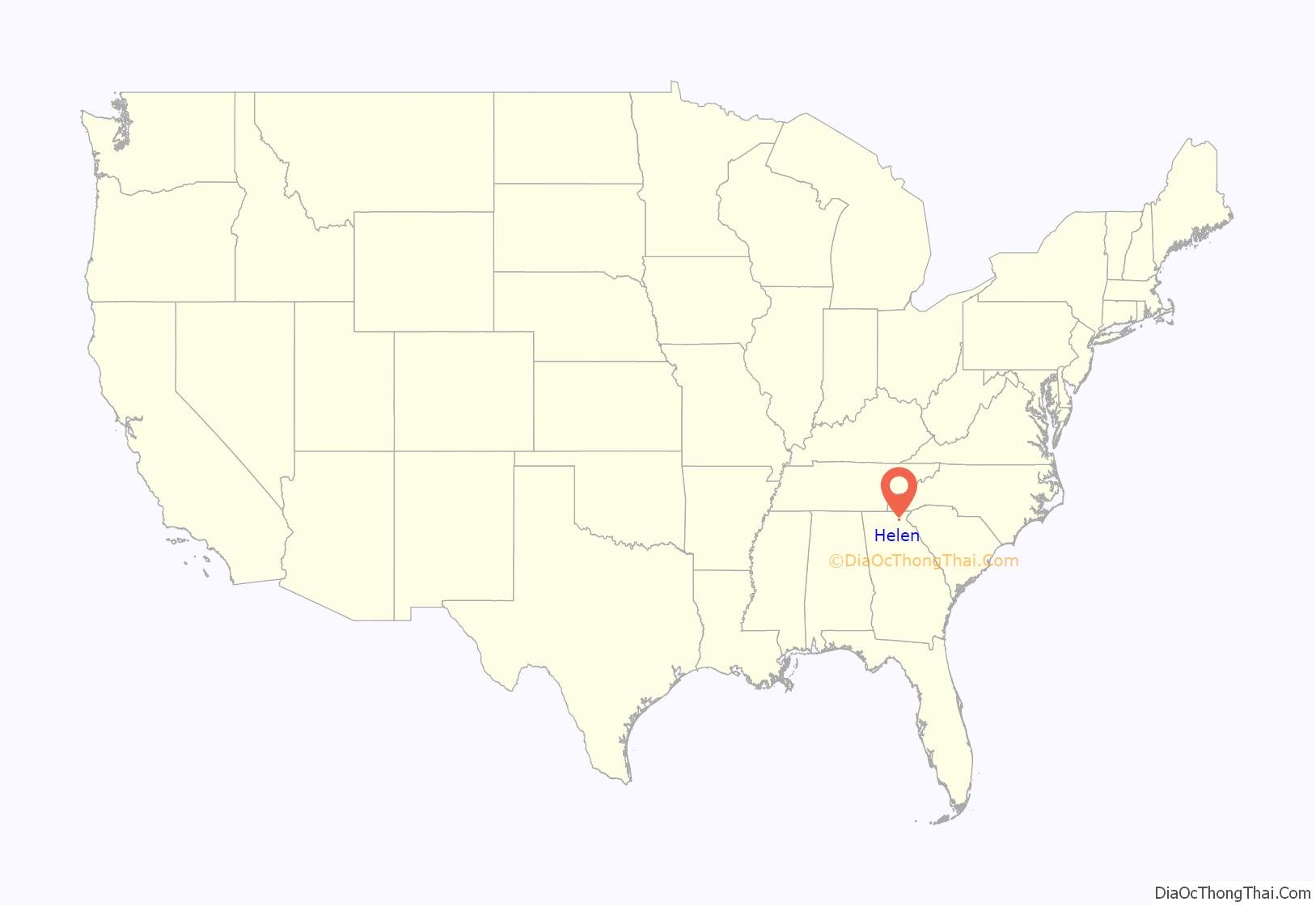
Helen is a city in White County, Georgia, United States, located along the Chattahoochee River. The population was 531 at the 2020 census.
| Name: | Helen city |
|---|---|
| LSAD Code: | 25 |
| LSAD Description: | city (suffix) |
| State: | Georgia |
| County: | White County |
| Elevation: | 1,444 ft (440 m) |
| Total Area: | 2.09 sq mi (5.43 km²) |
| Land Area: | 2.09 sq mi (5.41 km²) |
| Water Area: | 0.01 sq mi (0.02 km²) |
| Total Population: | 531 |
| Population Density: | 254.19/sq mi (98.14/km²) |
| ZIP code: | 30545 |
| Area code: | 706 |
| FIPS code: | 1337788 |
| GNISfeature ID: | 0331948 |
| Website: | CityOfHelen.org |
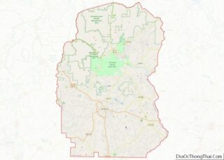
Online Interactive Map
Click on ![]() to view map in "full screen" mode.
to view map in "full screen" mode.
Helen location map. Where is Helen city?
History
Helen was platted in 1912, and named after the daughter of a lumber official. The town was incorporated in 1913.
Formerly a logging town that was in decline, the city resurrected itself by becoming a replica of a Bavarian alpine town, in the Appalachians instead of the Alps. This design is mandated through zoning first adopted in 1969, so that the classic southern German style is present on every building, even on the small number of national franchisees present (such as Huddle House and Wendy’s).
In 1975, Documerica photographer Al Stephenson documented the life, recreation, and economy of the Helen area before and during the construction of Alpine Helen.
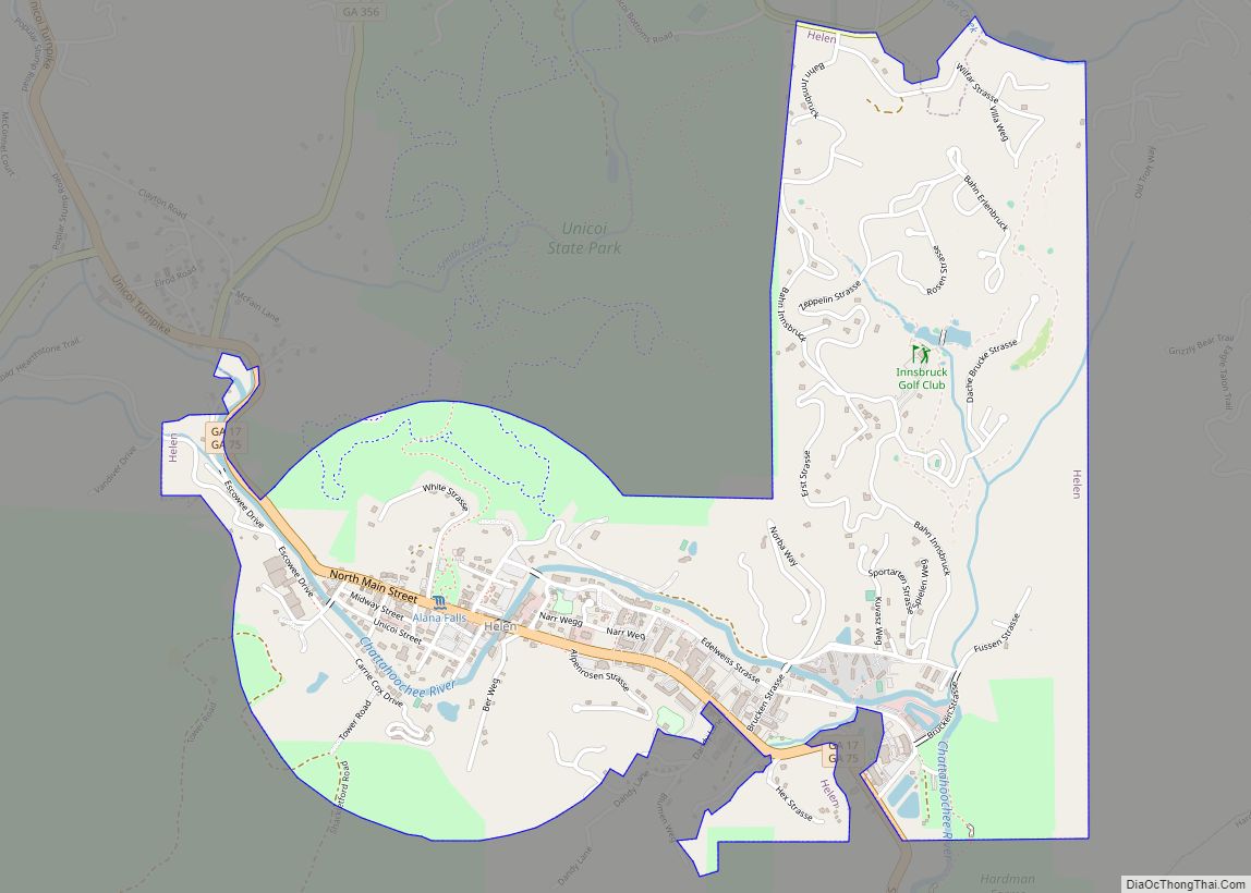
Helen Road Map
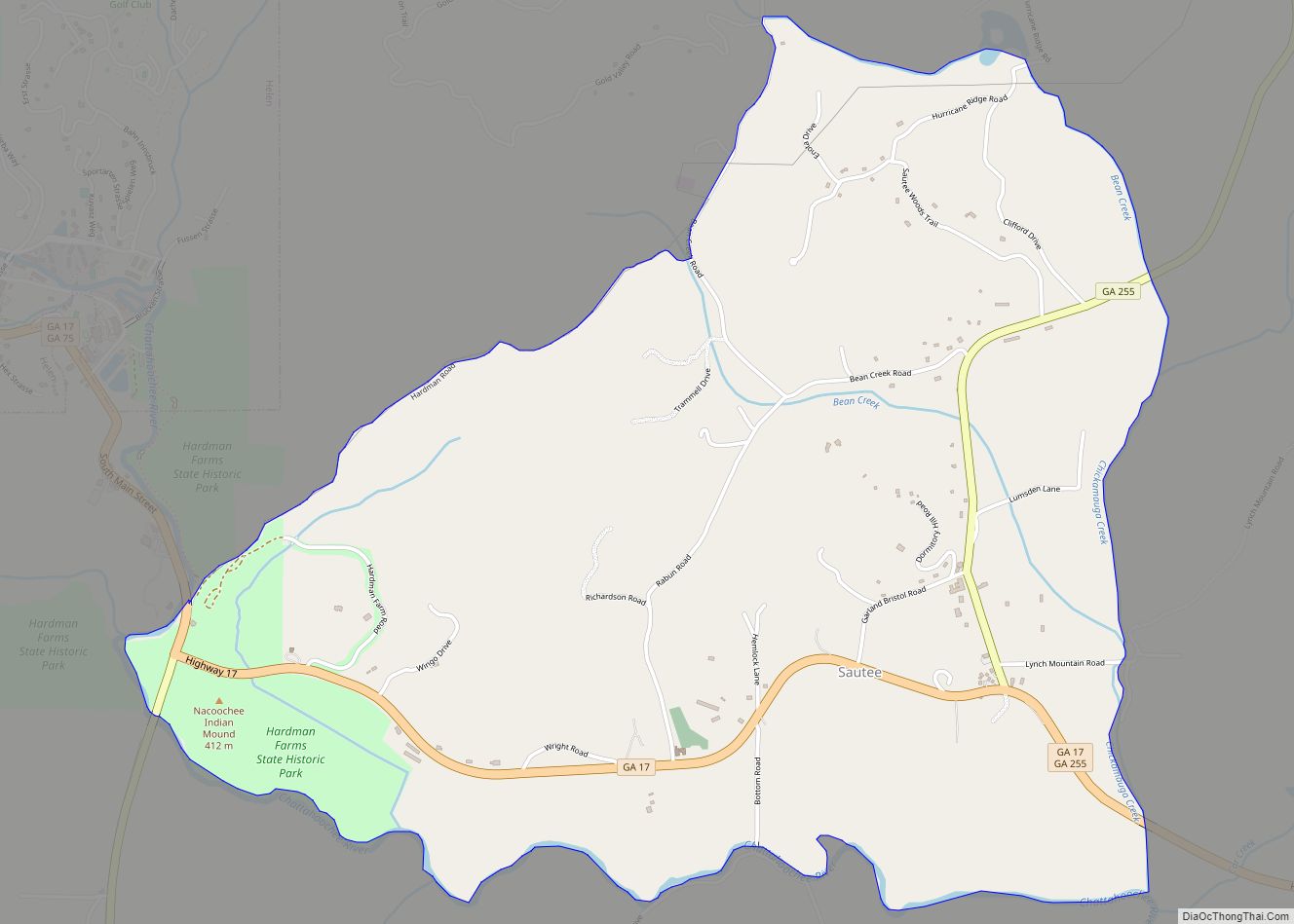
Helen city Satellite Map
Geography
Helen is located at 34°42′9″N 83°43′39″W / 34.70250°N 83.72750°W / 34.70250; -83.72750 (34.702396, -83.727508).
Georgia State Routes 17 and 75 are the main routes through the city, and run through the downtown area together as North Main Street. GA-17/75 lead north together 21 miles (34 km) to Hiawassee. The two highways split south of the city, with GA-17 leading southeast 15 miles (24 km) to Clarkesville and GA-75 leading south 9 miles (14 km) to Cleveland, the White County seat.
According to the United States Census Bureau, the city has a total area of 2.1 square miles (5.4 km), all land.
See also
Map of Georgia State and its subdivision:- Appling
- Atkinson
- Bacon
- Baker
- Baldwin
- Banks
- Barrow
- Bartow
- Ben Hill
- Berrien
- Bibb
- Bleckley
- Brantley
- Brooks
- Bryan
- Bulloch
- Burke
- Butts
- Calhoun
- Camden
- Candler
- Carroll
- Catoosa
- Charlton
- Chatham
- Chattahoochee
- Chattooga
- Cherokee
- Clarke
- Clay
- Clayton
- Clinch
- Cobb
- Coffee
- Colquitt
- Columbia
- Cook
- Coweta
- Crawford
- Crisp
- Dade
- Dawson
- Decatur
- DeKalb
- Dodge
- Dooly
- Dougherty
- Douglas
- Early
- Echols
- Effingham
- Elbert
- Emanuel
- Evans
- Fannin
- Fayette
- Floyd
- Forsyth
- Franklin
- Fulton
- Gilmer
- Glascock
- Glynn
- Gordon
- Grady
- Greene
- Gwinnett
- Habersham
- Hall
- Hancock
- Haralson
- Harris
- Hart
- Heard
- Henry
- Houston
- Irwin
- Jackson
- Jasper
- Jeff Davis
- Jefferson
- Jenkins
- Johnson
- Jones
- Lamar
- Lanier
- Laurens
- Lee
- Liberty
- Lincoln
- Long
- Lowndes
- Lumpkin
- Macon
- Madison
- Marion
- McDuffie
- McIntosh
- Meriwether
- Miller
- Mitchell
- Monroe
- Montgomery
- Morgan
- Murray
- Muscogee
- Newton
- Oconee
- Oglethorpe
- Paulding
- Peach
- Pickens
- Pierce
- Pike
- Polk
- Pulaski
- Putnam
- Quitman
- Rabun
- Randolph
- Richmond
- Rockdale
- Schley
- Screven
- Seminole
- Spalding
- Stephens
- Stewart
- Sumter
- Talbot
- Taliaferro
- Tattnall
- Taylor
- Telfair
- Terrell
- Thomas
- Tift
- Toombs
- Towns
- Treutlen
- Troup
- Turner
- Twiggs
- Union
- Upson
- Walker
- Walton
- Ware
- Warren
- Washington
- Wayne
- Webster
- Wheeler
- White
- Whitfield
- Wilcox
- Wilkes
- Wilkinson
- Worth
- Alabama
- Alaska
- Arizona
- Arkansas
- California
- Colorado
- Connecticut
- Delaware
- District of Columbia
- Florida
- Georgia
- Hawaii
- Idaho
- Illinois
- Indiana
- Iowa
- Kansas
- Kentucky
- Louisiana
- Maine
- Maryland
- Massachusetts
- Michigan
- Minnesota
- Mississippi
- Missouri
- Montana
- Nebraska
- Nevada
- New Hampshire
- New Jersey
- New Mexico
- New York
- North Carolina
- North Dakota
- Ohio
- Oklahoma
- Oregon
- Pennsylvania
- Rhode Island
- South Carolina
- South Dakota
- Tennessee
- Texas
- Utah
- Vermont
- Virginia
- Washington
- West Virginia
- Wisconsin
- Wyoming
