Jacksonville is a town in Telfair County, Georgia, United States. The population was 140 at the 2010 census.
| Name: | Jacksonville city |
|---|---|
| LSAD Code: | 25 |
| LSAD Description: | city (suffix) |
| State: | Georgia |
| County: | Telfair County |
| Elevation: | 207 ft (63 m) |
| Total Area: | 1.12 sq mi (2.89 km²) |
| Land Area: | 1.09 sq mi (2.81 km²) |
| Water Area: | 0.03 sq mi (0.08 km²) |
| Total Population: | 111 |
| Population Density: | 102.12/sq mi (39.43/km²) |
| ZIP code: | 31544 |
| Area code: | 229 |
| FIPS code: | 1341708 |
| GNISfeature ID: | 0316026 |
Online Interactive Map
Click on ![]() to view map in "full screen" mode.
to view map in "full screen" mode.
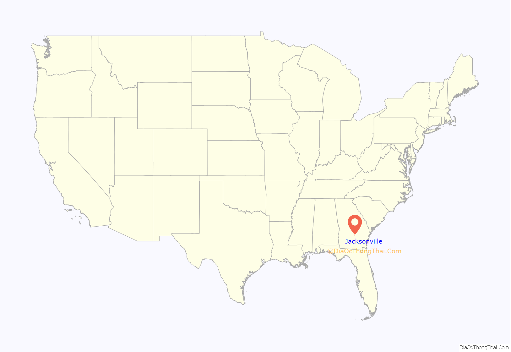
Jacksonville location map. Where is Jacksonville city?
History
Jacksonville was the original county seat of Telfair County. Land lot 340 in land district 8 was declared to be the permanent county seat in 1814. On November 25, 1815, the Georgia General Assembly declared that the new county seat be named Jacksonville after the hero of the recent Battle of New Orleans, Andrew Jackson. At the time it was located in the center of the county, but when Coffee County was created from the part of Telfair County below the Ocmulgee River in 1854, the town became near the southwestern boundary of the county. In 1856, a referendum was called for the change of the county seat. The results are unknown, but the county seat remained at Jacksonville until after the American Civil War.
In 1871, the seat was transferred from Jacksonville to McRae, which had been established as a station on the Macon and Brunswick Railroad a year before.
The world record largemouth bass was caught near Jacksonville on June 2, 1932 by George Perry.
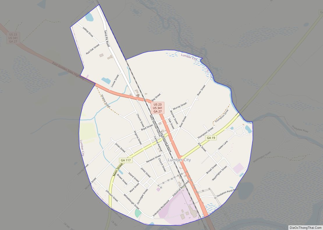
Jacksonville Road Map
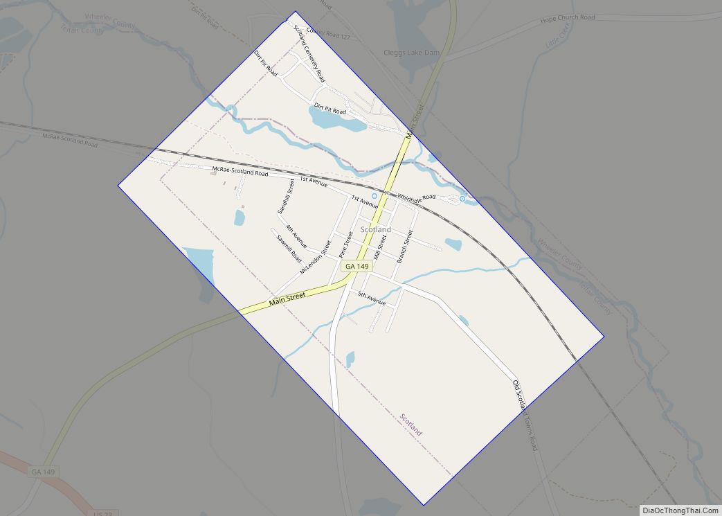
Jacksonville city Satellite Map
Geography
Jacksonville is located at 31°48′48″N 82°58′31″W / 31.81333°N 82.97528°W / 31.81333; -82.97528 (31.813397, -82.975191).
According to the United States Census Bureau, the town has a total area of 1.1 square miles (2.8 km), all land.
See also
Map of Georgia State and its subdivision:- Appling
- Atkinson
- Bacon
- Baker
- Baldwin
- Banks
- Barrow
- Bartow
- Ben Hill
- Berrien
- Bibb
- Bleckley
- Brantley
- Brooks
- Bryan
- Bulloch
- Burke
- Butts
- Calhoun
- Camden
- Candler
- Carroll
- Catoosa
- Charlton
- Chatham
- Chattahoochee
- Chattooga
- Cherokee
- Clarke
- Clay
- Clayton
- Clinch
- Cobb
- Coffee
- Colquitt
- Columbia
- Cook
- Coweta
- Crawford
- Crisp
- Dade
- Dawson
- Decatur
- DeKalb
- Dodge
- Dooly
- Dougherty
- Douglas
- Early
- Echols
- Effingham
- Elbert
- Emanuel
- Evans
- Fannin
- Fayette
- Floyd
- Forsyth
- Franklin
- Fulton
- Gilmer
- Glascock
- Glynn
- Gordon
- Grady
- Greene
- Gwinnett
- Habersham
- Hall
- Hancock
- Haralson
- Harris
- Hart
- Heard
- Henry
- Houston
- Irwin
- Jackson
- Jasper
- Jeff Davis
- Jefferson
- Jenkins
- Johnson
- Jones
- Lamar
- Lanier
- Laurens
- Lee
- Liberty
- Lincoln
- Long
- Lowndes
- Lumpkin
- Macon
- Madison
- Marion
- McDuffie
- McIntosh
- Meriwether
- Miller
- Mitchell
- Monroe
- Montgomery
- Morgan
- Murray
- Muscogee
- Newton
- Oconee
- Oglethorpe
- Paulding
- Peach
- Pickens
- Pierce
- Pike
- Polk
- Pulaski
- Putnam
- Quitman
- Rabun
- Randolph
- Richmond
- Rockdale
- Schley
- Screven
- Seminole
- Spalding
- Stephens
- Stewart
- Sumter
- Talbot
- Taliaferro
- Tattnall
- Taylor
- Telfair
- Terrell
- Thomas
- Tift
- Toombs
- Towns
- Treutlen
- Troup
- Turner
- Twiggs
- Union
- Upson
- Walker
- Walton
- Ware
- Warren
- Washington
- Wayne
- Webster
- Wheeler
- White
- Whitfield
- Wilcox
- Wilkes
- Wilkinson
- Worth
- Alabama
- Alaska
- Arizona
- Arkansas
- California
- Colorado
- Connecticut
- Delaware
- District of Columbia
- Florida
- Georgia
- Hawaii
- Idaho
- Illinois
- Indiana
- Iowa
- Kansas
- Kentucky
- Louisiana
- Maine
- Maryland
- Massachusetts
- Michigan
- Minnesota
- Mississippi
- Missouri
- Montana
- Nebraska
- Nevada
- New Hampshire
- New Jersey
- New Mexico
- New York
- North Carolina
- North Dakota
- Ohio
- Oklahoma
- Oregon
- Pennsylvania
- Rhode Island
- South Carolina
- South Dakota
- Tennessee
- Texas
- Utah
- Vermont
- Virginia
- Washington
- West Virginia
- Wisconsin
- Wyoming


