Port Wentworth is a city in Chatham County, Georgia, United States. The 2020 population was 10,878, more than double the population of 5,359 at the 2010 census. Port Wentworth is part of the Savannah metropolitan area.
| Name: | Port Wentworth city |
|---|---|
| LSAD Code: | 25 |
| LSAD Description: | city (suffix) |
| State: | Georgia |
| County: | Chatham County |
| Elevation: | 23 ft (7 m) |
| Total Area: | 16.12 sq mi (41.74 km²) |
| Land Area: | 16.07 sq mi (41.62 km²) |
| Water Area: | 0.05 sq mi (0.12 km²) |
| Total Population: | 13,000 |
| Population Density: | 676.87/sq mi (261.34/km²) |
| ZIP code: | 31407 |
| Area code: | 912 |
| FIPS code: | 1362328 |
| GNISfeature ID: | 0332733 |
| Website: | www.cityofportwentworth.com |
Online Interactive Map
Click on ![]() to view map in "full screen" mode.
to view map in "full screen" mode.
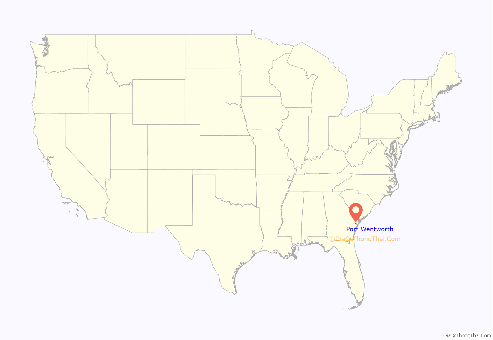
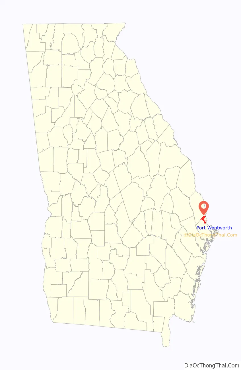
Port Wentworth location map. Where is Port Wentworth city?
History
The Georgia General Assembly incorporated Port Wentworth in 1957.
Dixie Crystals plant explosion
On February 7, 2008, an explosion at the historic Dixie Crystals sugar plant, established in 1916 on Oxnard Drive, killed 14 people and injured at least 40 others. The victims ranged in age from 18 to 56. The blast could be heard as far away as Levy, South Carolina, where it shook house walls. The accident brought Port Wentworth national and international notice; it was widely reported in European and Asian media.
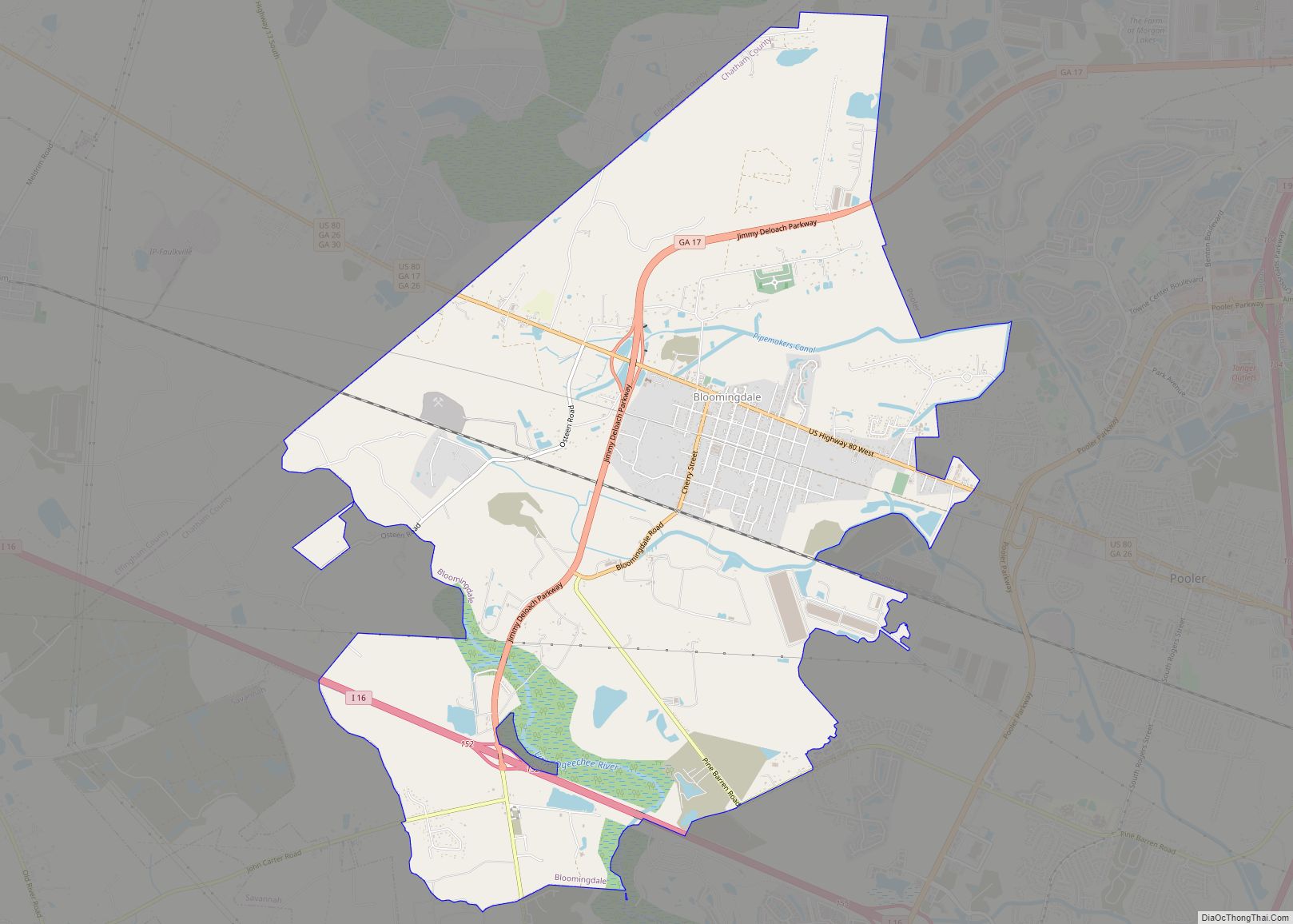
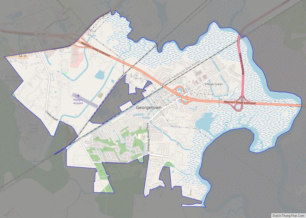
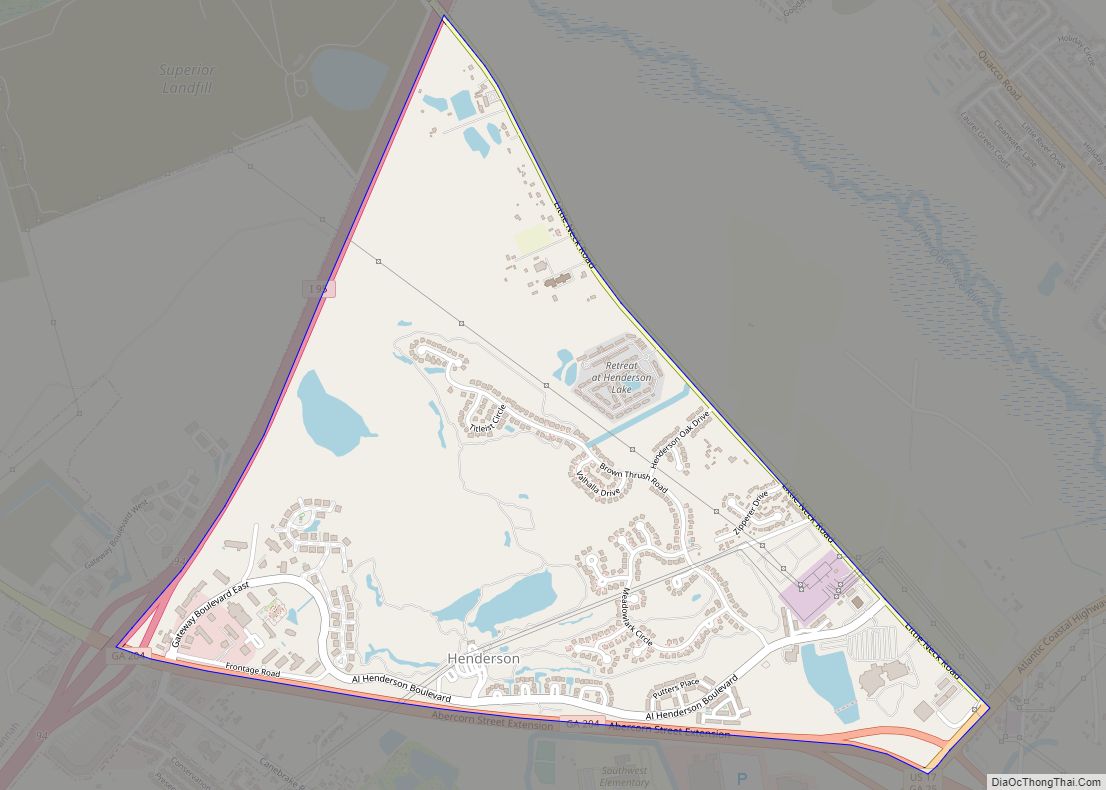
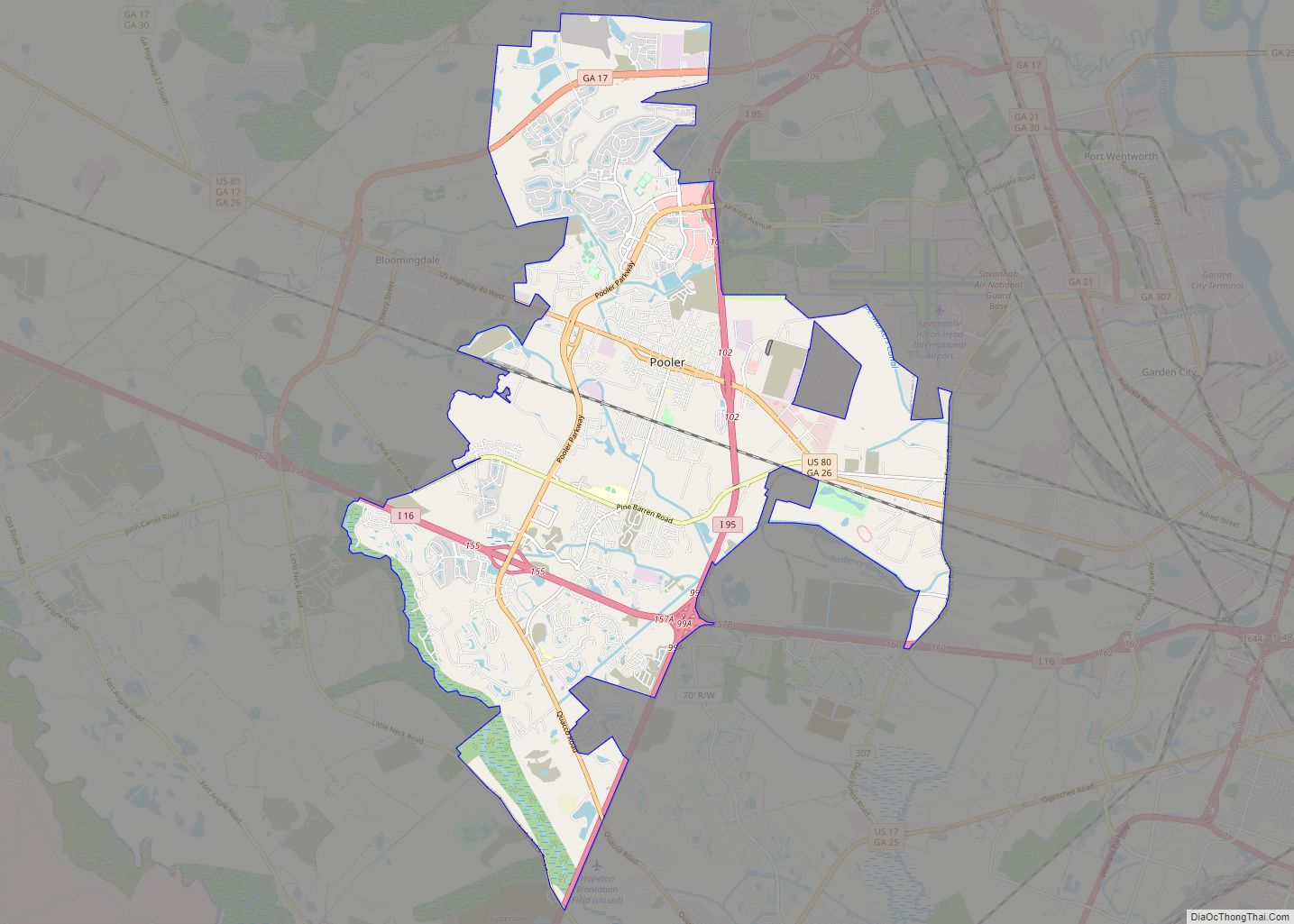
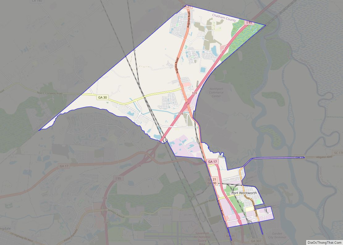
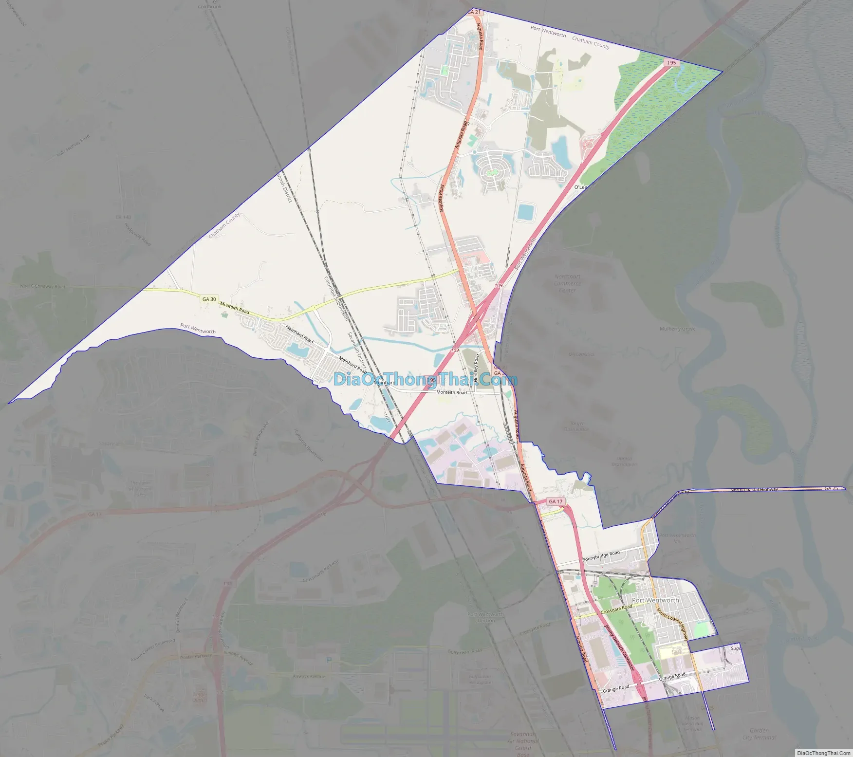
Port Wentworth Road Map
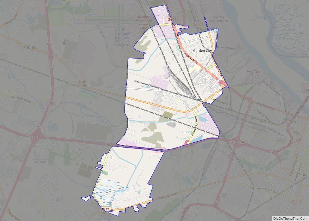
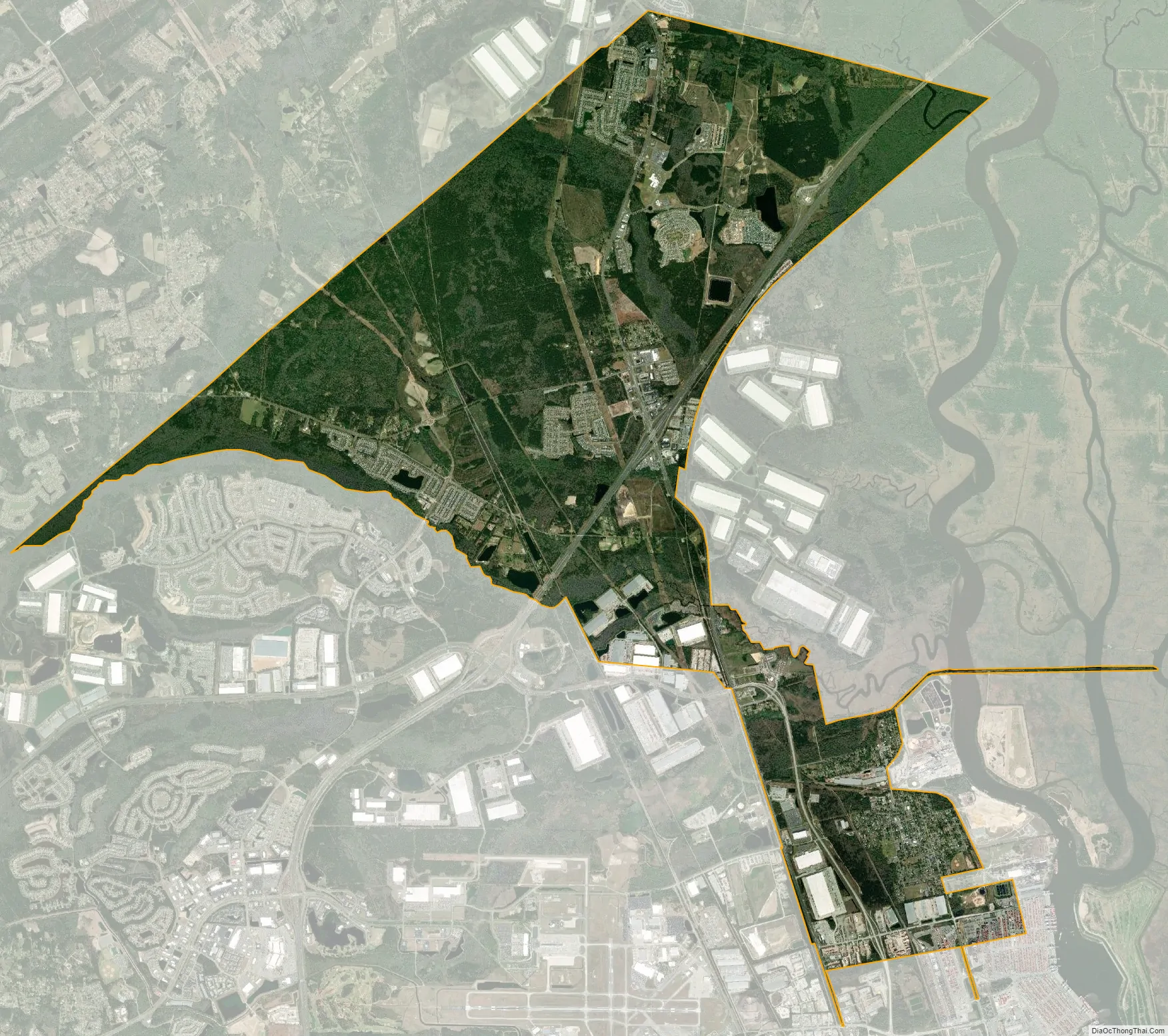
Port Wentworth city Satellite Map
Geography
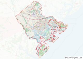
Port Wentworth is located in the northern corner of Chatham County at 32°09′52″N 81°10′48″W / 32.164512°N 81.180087°W / 32.164512; -81.180087. It is bordered by Effingham County to the north, by Garden City to the southeast, and by the Savannah city limits (surrounding Savannah/Hilton Head International Airport) to the southwest. Within the Port Wentworth city limits are the localities of Meinhard and Monteith.
According to the United States Census Bureau, the city has a total area of 16.6 sq mi (43.0 km), of which 0.15 square miles (0.4 km), or 0.91%, is covered by water.
See also
Map of Georgia State and its subdivision:- Appling
- Atkinson
- Bacon
- Baker
- Baldwin
- Banks
- Barrow
- Bartow
- Ben Hill
- Berrien
- Bibb
- Bleckley
- Brantley
- Brooks
- Bryan
- Bulloch
- Burke
- Butts
- Calhoun
- Camden
- Candler
- Carroll
- Catoosa
- Charlton
- Chatham
- Chattahoochee
- Chattooga
- Cherokee
- Clarke
- Clay
- Clayton
- Clinch
- Cobb
- Coffee
- Colquitt
- Columbia
- Cook
- Coweta
- Crawford
- Crisp
- Dade
- Dawson
- Decatur
- DeKalb
- Dodge
- Dooly
- Dougherty
- Douglas
- Early
- Echols
- Effingham
- Elbert
- Emanuel
- Evans
- Fannin
- Fayette
- Floyd
- Forsyth
- Franklin
- Fulton
- Gilmer
- Glascock
- Glynn
- Gordon
- Grady
- Greene
- Gwinnett
- Habersham
- Hall
- Hancock
- Haralson
- Harris
- Hart
- Heard
- Henry
- Houston
- Irwin
- Jackson
- Jasper
- Jeff Davis
- Jefferson
- Jenkins
- Johnson
- Jones
- Lamar
- Lanier
- Laurens
- Lee
- Liberty
- Lincoln
- Long
- Lowndes
- Lumpkin
- Macon
- Madison
- Marion
- McDuffie
- McIntosh
- Meriwether
- Miller
- Mitchell
- Monroe
- Montgomery
- Morgan
- Murray
- Muscogee
- Newton
- Oconee
- Oglethorpe
- Paulding
- Peach
- Pickens
- Pierce
- Pike
- Polk
- Pulaski
- Putnam
- Quitman
- Rabun
- Randolph
- Richmond
- Rockdale
- Schley
- Screven
- Seminole
- Spalding
- Stephens
- Stewart
- Sumter
- Talbot
- Taliaferro
- Tattnall
- Taylor
- Telfair
- Terrell
- Thomas
- Tift
- Toombs
- Towns
- Treutlen
- Troup
- Turner
- Twiggs
- Union
- Upson
- Walker
- Walton
- Ware
- Warren
- Washington
- Wayne
- Webster
- Wheeler
- White
- Whitfield
- Wilcox
- Wilkes
- Wilkinson
- Worth
- Alabama
- Alaska
- Arizona
- Arkansas
- California
- Colorado
- Connecticut
- Delaware
- District of Columbia
- Florida
- Georgia
- Hawaii
- Idaho
- Illinois
- Indiana
- Iowa
- Kansas
- Kentucky
- Louisiana
- Maine
- Maryland
- Massachusetts
- Michigan
- Minnesota
- Mississippi
- Missouri
- Montana
- Nebraska
- Nevada
- New Hampshire
- New Jersey
- New Mexico
- New York
- North Carolina
- North Dakota
- Ohio
- Oklahoma
- Oregon
- Pennsylvania
- Rhode Island
- South Carolina
- South Dakota
- Tennessee
- Texas
- Utah
- Vermont
- Virginia
- Washington
- West Virginia
- Wisconsin
- Wyoming