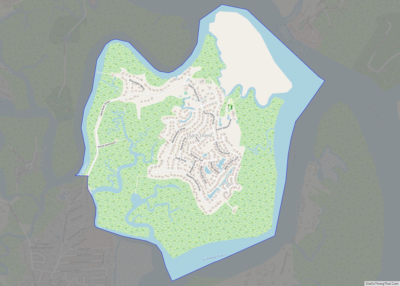
Skidaway Island is unincorporated community on a barrier island of the same name in Chatham County, Georgia, United States. Located south of Savannah, Skidaway Island is known for its waterfront properties and golf courses within The Landings, one of the largest gated communities in the country. The population was 9,310 at the 2020 census. For statistical purposes, the United States Census Bureau has defined Skidaway Island as a census-designated place (CDP). A separate area of the island hosts the Skidaway Institute of Oceanography, a research institution operated by the University of Georgia. It receives scholars and researchers from several other Georgia universities as well, including Georgia Tech, Savannah State University, and the College of Coastal Georgia. Skidaway Island is part of the Savannah Metropolitan Statistical Area.
It is uncertain why the name “Skidaway” was applied to this island; the name may be derived from a word in Yamacraw or another Native American Creek language. In his 1967 publication How Georgia Got Her Names, Hal E. Brinkley stated that the name might be an Anglicized form of Scenawki, the wife of the Yamacraw chief Tomochichi, for whom Georgia’s founder James Oglethorpe named the island.
In a March 2019 referendum, Skidaway Island voters overwhelmingly rejected a bill that would have incorporated their community as the City of Skidaway Island. The island remains unincorporated.
| Name: | Skidaway Island CDP |
|---|---|
| LSAD Code: | 57 |
| LSAD Description: | CDP (suffix) |
| State: | Georgia |
| County: | Chatham County |
| Elevation: | 10 ft (3 m) |
| Total Area: | 17.86 sq mi (46.26 km²) |
| Land Area: | 16.49 sq mi (42.71 km²) |
| Water Area: | 1.37 sq mi (3.55 km²) |
| Total Population: | 9,310 |
| Population Density: | 564.55/sq mi (217.97/km²) |
| FIPS code: | 1371184 |
| GNISfeature ID: | 1867245 |
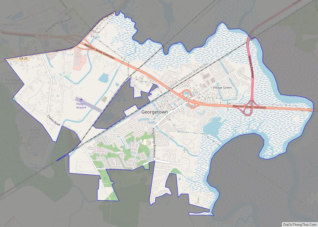
Online Interactive Map
Click on ![]() to view map in "full screen" mode.
to view map in "full screen" mode.
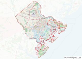
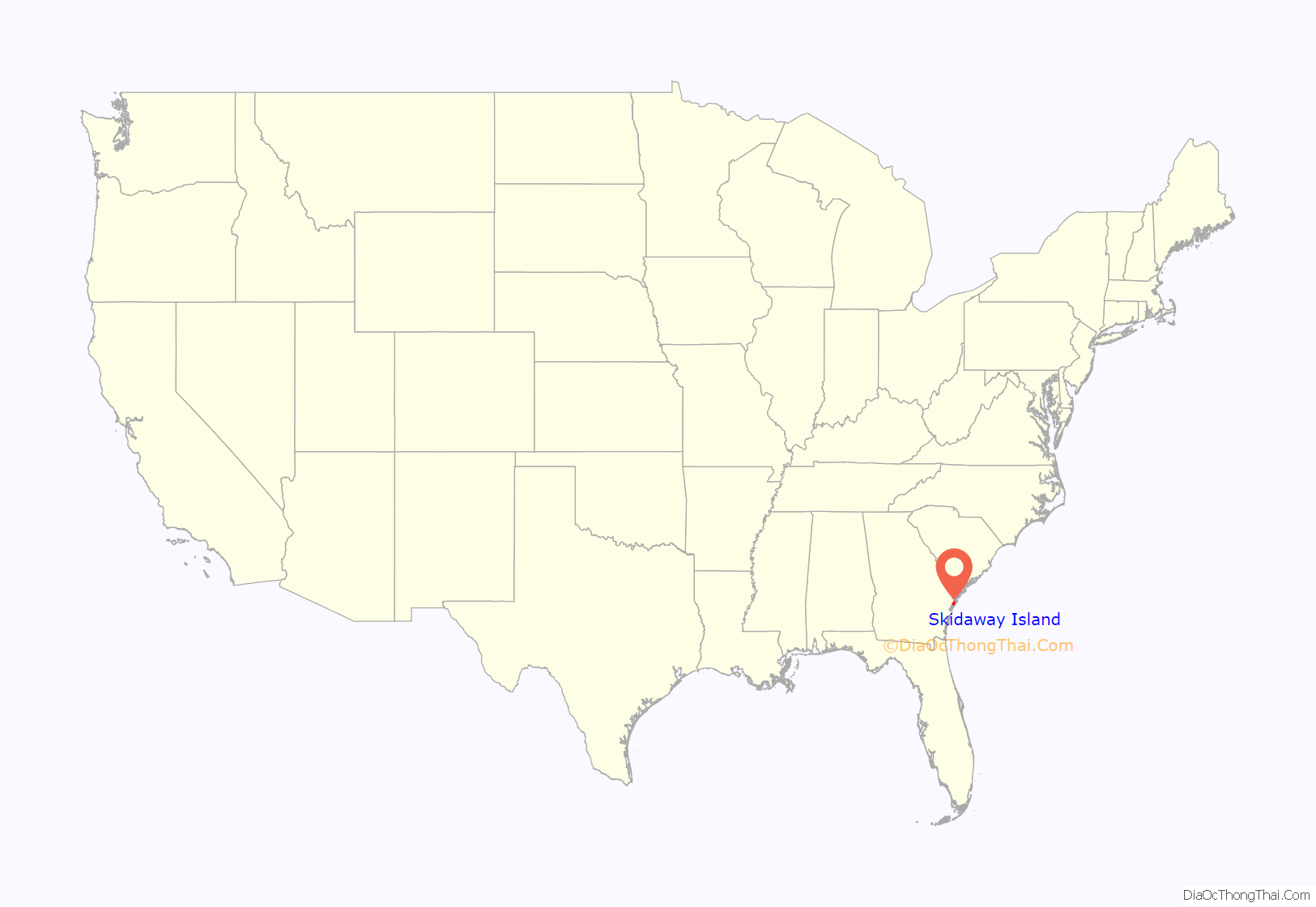
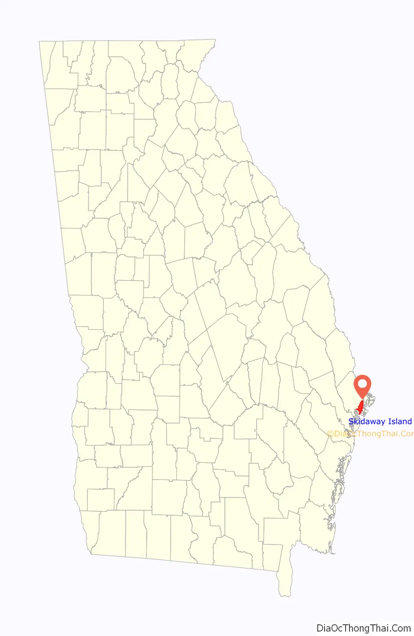
Skidaway Island location map. Where is Skidaway Island CDP?
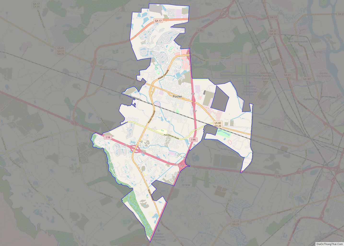
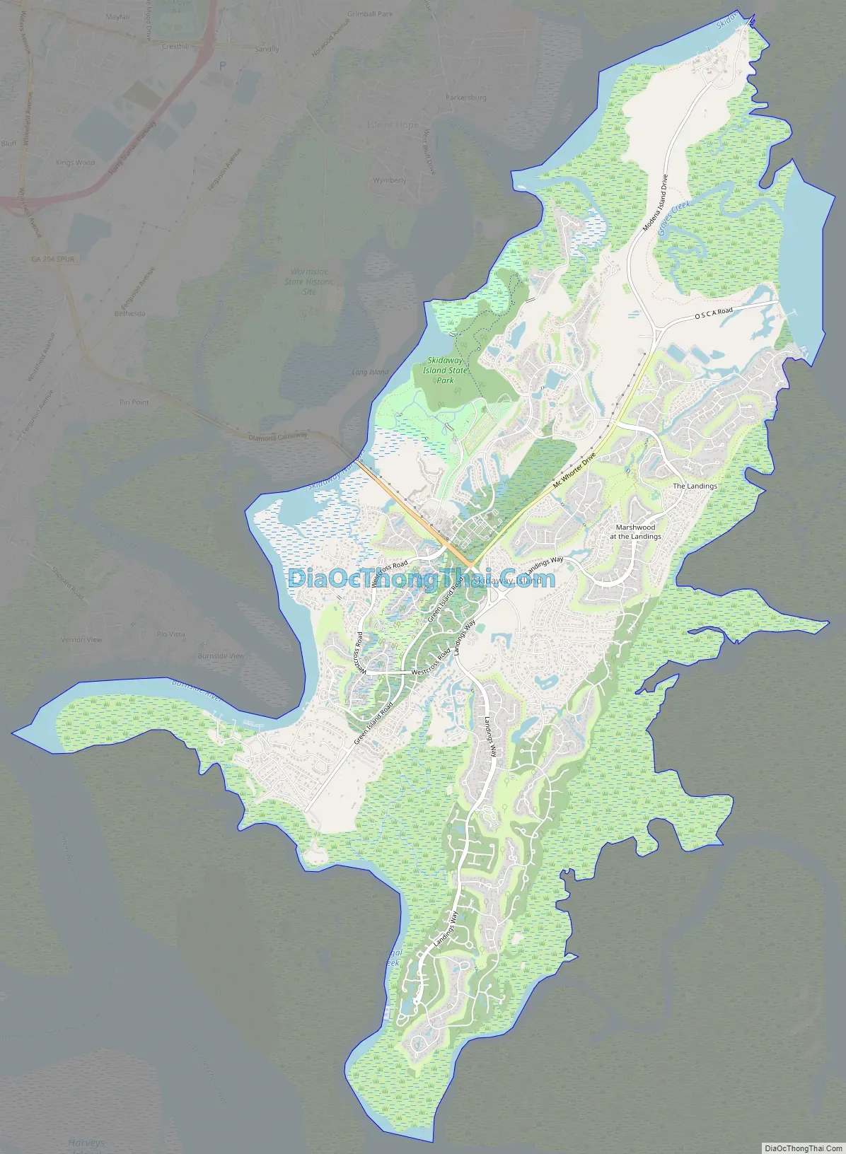
Skidaway Island Road Map
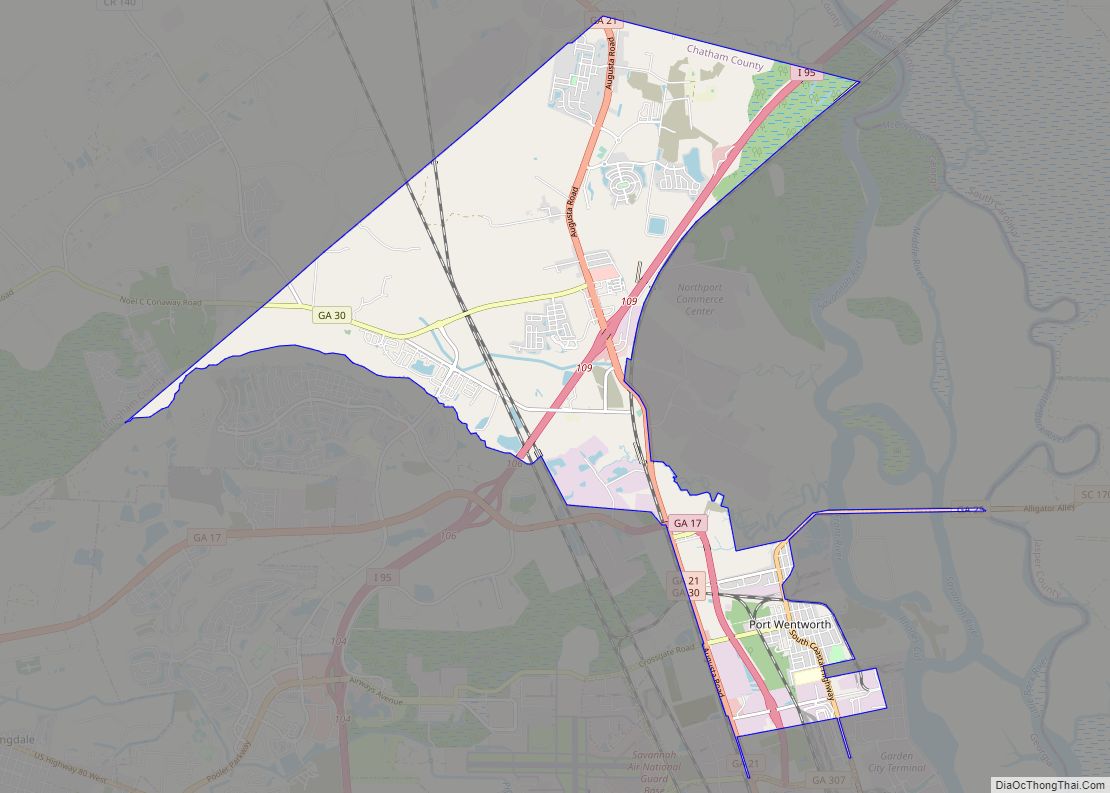
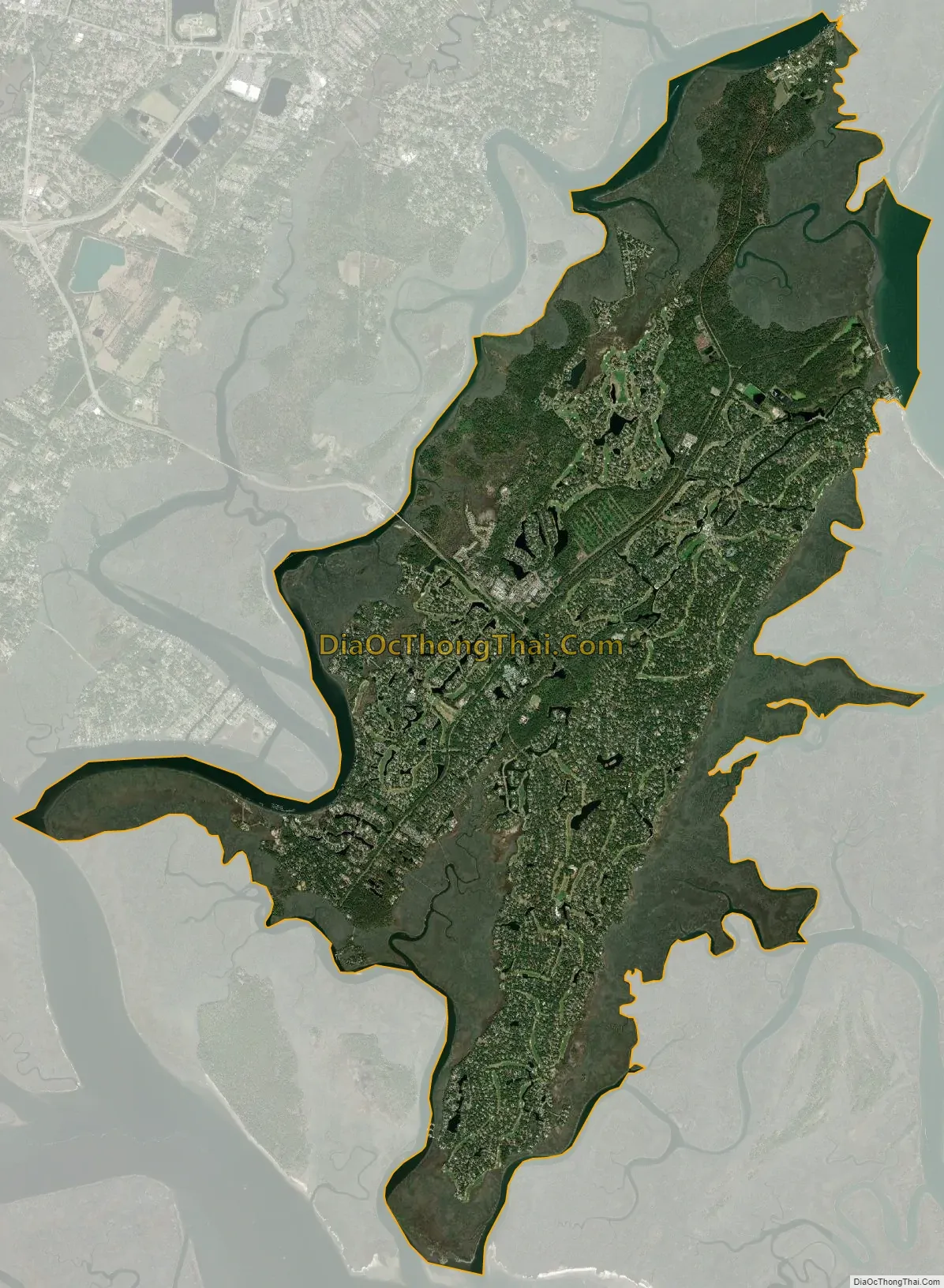
Skidaway Island city Satellite Map
Geography
Skidaway Island is located at 31°55′39″N 81°2′33″W / 31.92750°N 81.04250°W / 31.92750; -81.04250 (31.927434, -81.042505).
According to the United States Census Bureau, the CDP has a total area of 17.9 square miles (46 km), of which 16.4 square miles (42 km) is land and 1.5 square miles (3.9 km) (8.45%) is water.
See also
Map of Georgia State and its subdivision:- Appling
- Atkinson
- Bacon
- Baker
- Baldwin
- Banks
- Barrow
- Bartow
- Ben Hill
- Berrien
- Bibb
- Bleckley
- Brantley
- Brooks
- Bryan
- Bulloch
- Burke
- Butts
- Calhoun
- Camden
- Candler
- Carroll
- Catoosa
- Charlton
- Chatham
- Chattahoochee
- Chattooga
- Cherokee
- Clarke
- Clay
- Clayton
- Clinch
- Cobb
- Coffee
- Colquitt
- Columbia
- Cook
- Coweta
- Crawford
- Crisp
- Dade
- Dawson
- Decatur
- DeKalb
- Dodge
- Dooly
- Dougherty
- Douglas
- Early
- Echols
- Effingham
- Elbert
- Emanuel
- Evans
- Fannin
- Fayette
- Floyd
- Forsyth
- Franklin
- Fulton
- Gilmer
- Glascock
- Glynn
- Gordon
- Grady
- Greene
- Gwinnett
- Habersham
- Hall
- Hancock
- Haralson
- Harris
- Hart
- Heard
- Henry
- Houston
- Irwin
- Jackson
- Jasper
- Jeff Davis
- Jefferson
- Jenkins
- Johnson
- Jones
- Lamar
- Lanier
- Laurens
- Lee
- Liberty
- Lincoln
- Long
- Lowndes
- Lumpkin
- Macon
- Madison
- Marion
- McDuffie
- McIntosh
- Meriwether
- Miller
- Mitchell
- Monroe
- Montgomery
- Morgan
- Murray
- Muscogee
- Newton
- Oconee
- Oglethorpe
- Paulding
- Peach
- Pickens
- Pierce
- Pike
- Polk
- Pulaski
- Putnam
- Quitman
- Rabun
- Randolph
- Richmond
- Rockdale
- Schley
- Screven
- Seminole
- Spalding
- Stephens
- Stewart
- Sumter
- Talbot
- Taliaferro
- Tattnall
- Taylor
- Telfair
- Terrell
- Thomas
- Tift
- Toombs
- Towns
- Treutlen
- Troup
- Turner
- Twiggs
- Union
- Upson
- Walker
- Walton
- Ware
- Warren
- Washington
- Wayne
- Webster
- Wheeler
- White
- Whitfield
- Wilcox
- Wilkes
- Wilkinson
- Worth
- Alabama
- Alaska
- Arizona
- Arkansas
- California
- Colorado
- Connecticut
- Delaware
- District of Columbia
- Florida
- Georgia
- Hawaii
- Idaho
- Illinois
- Indiana
- Iowa
- Kansas
- Kentucky
- Louisiana
- Maine
- Maryland
- Massachusetts
- Michigan
- Minnesota
- Mississippi
- Missouri
- Montana
- Nebraska
- Nevada
- New Hampshire
- New Jersey
- New Mexico
- New York
- North Carolina
- North Dakota
- Ohio
- Oklahoma
- Oregon
- Pennsylvania
- Rhode Island
- South Carolina
- South Dakota
- Tennessee
- Texas
- Utah
- Vermont
- Virginia
- Washington
- West Virginia
- Wisconsin
- Wyoming