Stapleton is a city in Jefferson County, Georgia, United States. The population was 438 at the 2010 census, up from 318 at the 2000 census.
| Name: | Stapleton city |
|---|---|
| LSAD Code: | 25 |
| LSAD Description: | city (suffix) |
| State: | Georgia |
| County: | Jefferson County |
| Elevation: | 440 ft (134 m) |
| Total Area: | 1.74 sq mi (4.52 km²) |
| Land Area: | 1.74 sq mi (4.52 km²) |
| Water Area: | 0.00 sq mi (0.00 km²) |
| Total Population: | 402 |
| Population Density: | 230.50/sq mi (89.01/km²) |
| ZIP code: | 30823 |
| Area code: | 706 |
| FIPS code: | 1373004 |
| GNISfeature ID: | 0356555 |
Online Interactive Map
Click on ![]() to view map in "full screen" mode.
to view map in "full screen" mode.
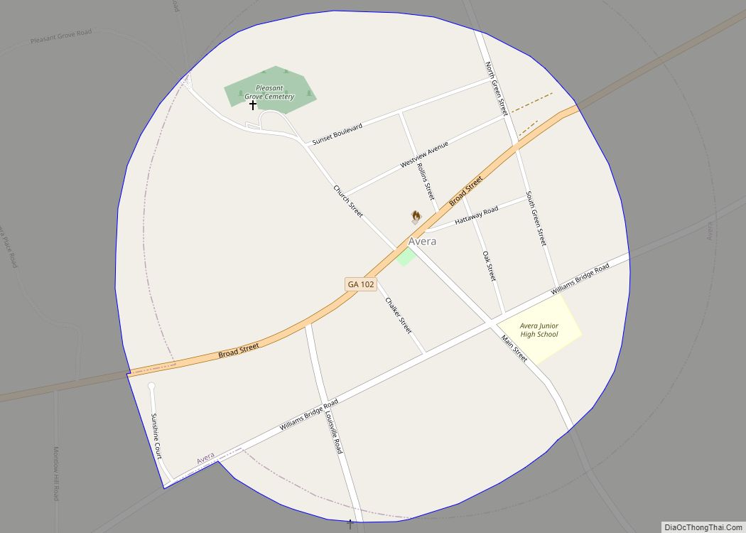
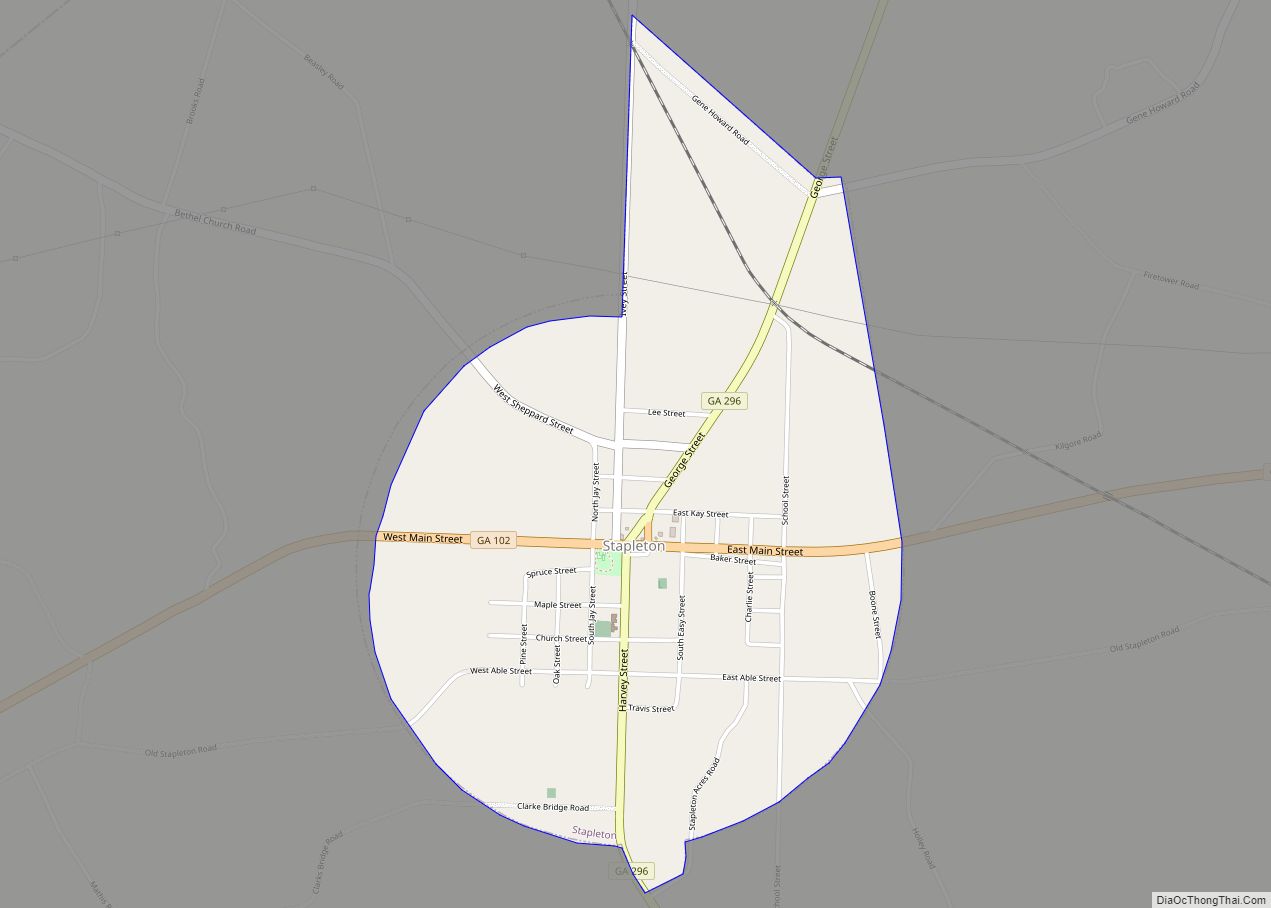
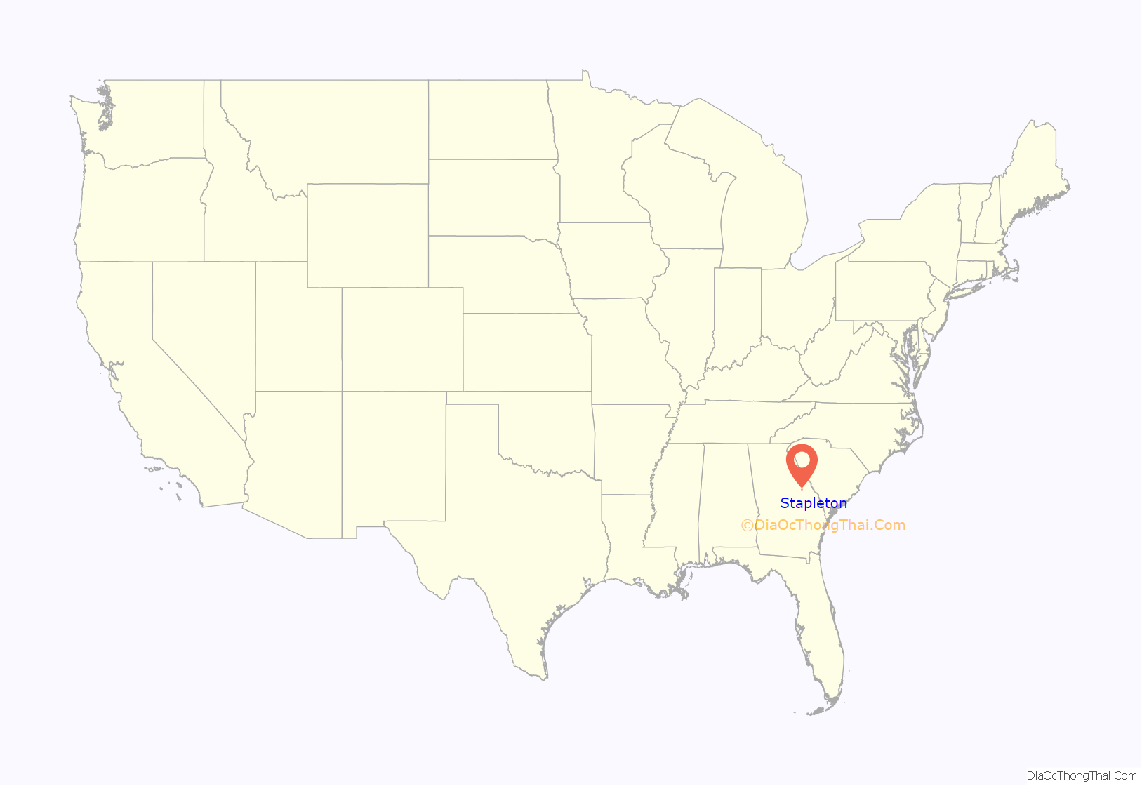
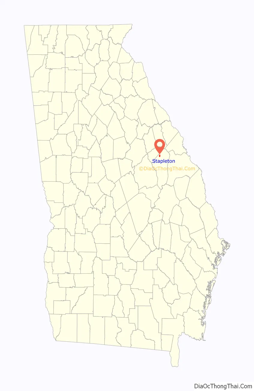
Stapleton location map. Where is Stapleton city?
History
An early variant name was “Spread”. The Georgia General Assembly incorporated the place as the “Town of Spread” in 1903. Stapleton derives its current name from Colonel James Stapleton.
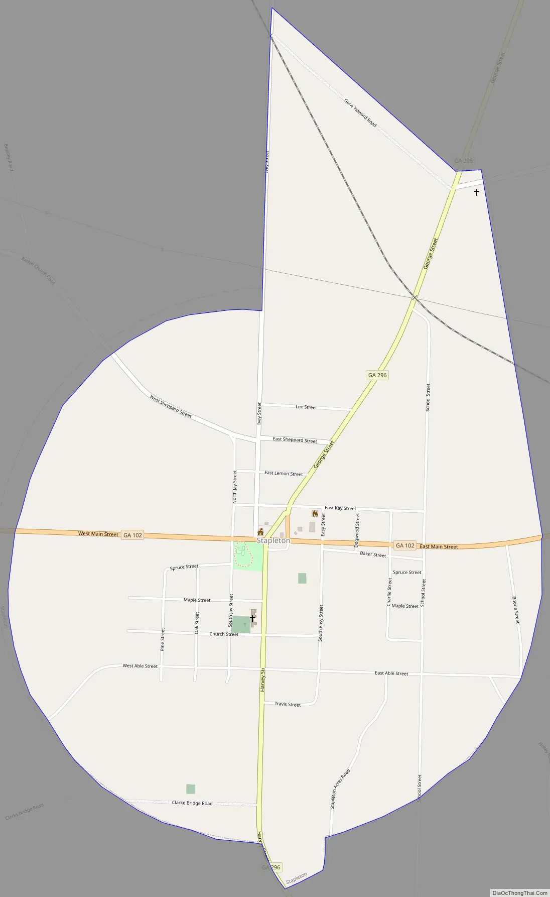
Stapleton Road Map
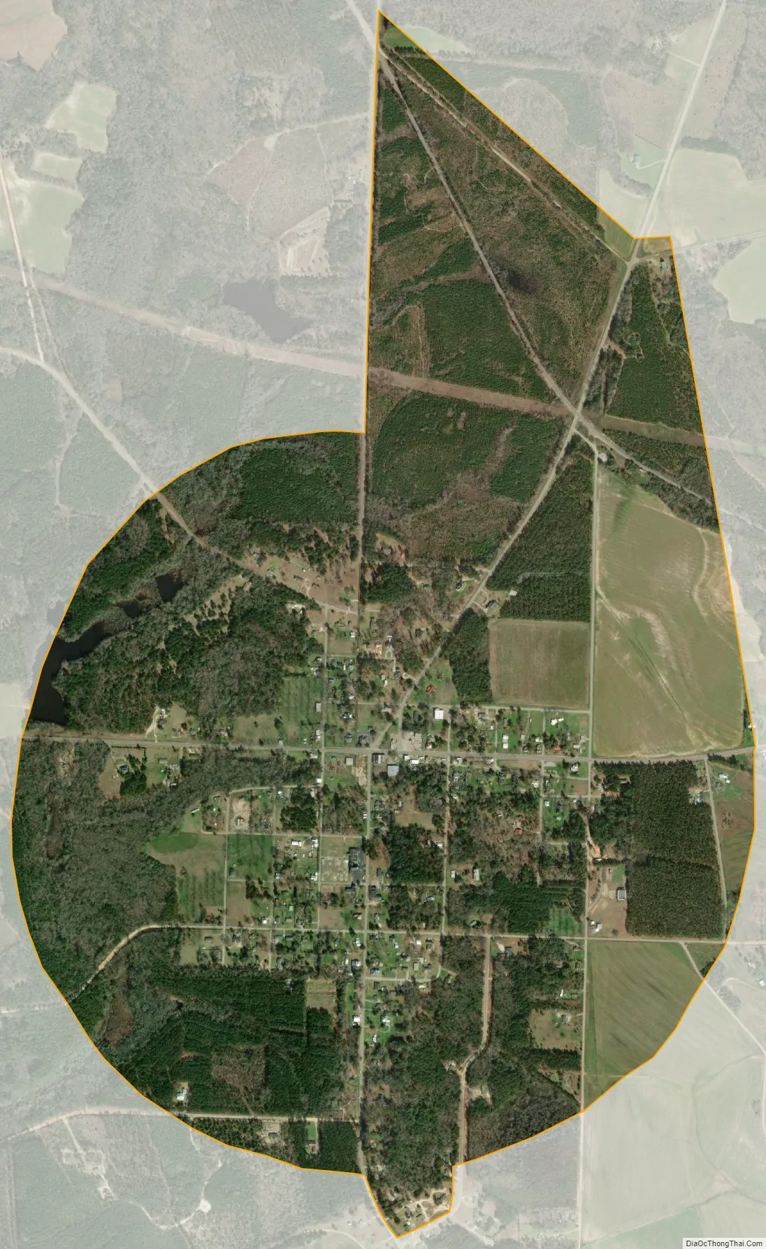
Stapleton city Satellite Map
Geography
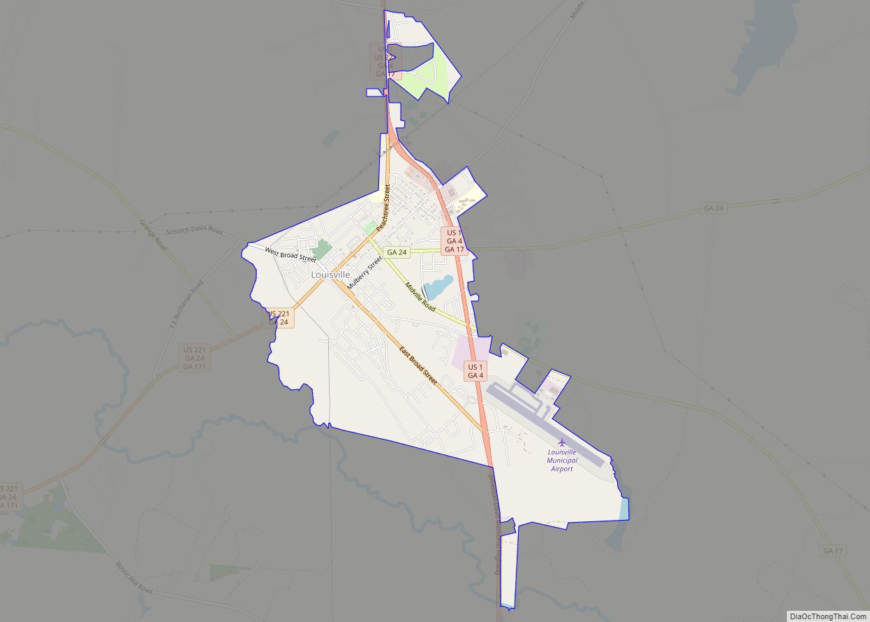
Stapleton is located in northwestern Jefferson County at 33°12′57″N 82°28′5″W / 33.21583°N 82.46806°W / 33.21583; -82.46806 (33.215877, -82.468007). Georgia State Route 102 passes through the center of town as Main Street, leading east 4.5 miles (7.2 km) to Wrens and west 4 miles (6 km) to Avera. State Route 296 (Harvey Street and George Street) crosses SR-102 in the center of Stapleton, leading northeast 5 miles (8 km) to SR-17 in Warren County and south 16 miles (26 km) to Louisville, the Jefferson county seat.
According to the United States Census Bureau, Stapleton has a total area of 1.7 square miles (4.5 km), all land.
See also
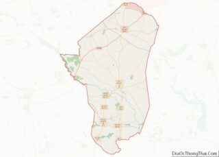
Map of Georgia State and its subdivision:- Appling
- Atkinson
- Bacon
- Baker
- Baldwin
- Banks
- Barrow
- Bartow
- Ben Hill
- Berrien
- Bibb
- Bleckley
- Brantley
- Brooks
- Bryan
- Bulloch
- Burke
- Butts
- Calhoun
- Camden
- Candler
- Carroll
- Catoosa
- Charlton
- Chatham
- Chattahoochee
- Chattooga
- Cherokee
- Clarke
- Clay
- Clayton
- Clinch
- Cobb
- Coffee
- Colquitt
- Columbia
- Cook
- Coweta
- Crawford
- Crisp
- Dade
- Dawson
- Decatur
- DeKalb
- Dodge
- Dooly
- Dougherty
- Douglas
- Early
- Echols
- Effingham
- Elbert
- Emanuel
- Evans
- Fannin
- Fayette
- Floyd
- Forsyth
- Franklin
- Fulton
- Gilmer
- Glascock
- Glynn
- Gordon
- Grady
- Greene
- Gwinnett
- Habersham
- Hall
- Hancock
- Haralson
- Harris
- Hart
- Heard
- Henry
- Houston
- Irwin
- Jackson
- Jasper
- Jeff Davis
- Jefferson
- Jenkins
- Johnson
- Jones
- Lamar
- Lanier
- Laurens
- Lee
- Liberty
- Lincoln
- Long
- Lowndes
- Lumpkin
- Macon
- Madison
- Marion
- McDuffie
- McIntosh
- Meriwether
- Miller
- Mitchell
- Monroe
- Montgomery
- Morgan
- Murray
- Muscogee
- Newton
- Oconee
- Oglethorpe
- Paulding
- Peach
- Pickens
- Pierce
- Pike
- Polk
- Pulaski
- Putnam
- Quitman
- Rabun
- Randolph
- Richmond
- Rockdale
- Schley
- Screven
- Seminole
- Spalding
- Stephens
- Stewart
- Sumter
- Talbot
- Taliaferro
- Tattnall
- Taylor
- Telfair
- Terrell
- Thomas
- Tift
- Toombs
- Towns
- Treutlen
- Troup
- Turner
- Twiggs
- Union
- Upson
- Walker
- Walton
- Ware
- Warren
- Washington
- Wayne
- Webster
- Wheeler
- White
- Whitfield
- Wilcox
- Wilkes
- Wilkinson
- Worth
- Alabama
- Alaska
- Arizona
- Arkansas
- California
- Colorado
- Connecticut
- Delaware
- District of Columbia
- Florida
- Georgia
- Hawaii
- Idaho
- Illinois
- Indiana
- Iowa
- Kansas
- Kentucky
- Louisiana
- Maine
- Maryland
- Massachusetts
- Michigan
- Minnesota
- Mississippi
- Missouri
- Montana
- Nebraska
- Nevada
- New Hampshire
- New Jersey
- New Mexico
- New York
- North Carolina
- North Dakota
- Ohio
- Oklahoma
- Oregon
- Pennsylvania
- Rhode Island
- South Carolina
- South Dakota
- Tennessee
- Texas
- Utah
- Vermont
- Virginia
- Washington
- West Virginia
- Wisconsin
- Wyoming