Tifton is a city in Tift County, Georgia, United States. The population was 17,045 at the 2020 census. The city is the county seat of Tift County.
The area’s public schools are administered by the Tift County School District. Abraham Baldwin Agricultural College has its main campus in Tifton. Southern Regional Technical College and the University of Georgia also have Tifton campuses.
Sites in the area include the Coastal Plain Research Arboretum, Abraham Baldwin Agricultural College, and the Georgia Museum of Agriculture & Historic Village. The Tifton Commercial Historic District and the Tifton Residential Historic District are listed on the National Register of Historic Places.
| Name: | Tifton city |
|---|---|
| LSAD Code: | 25 |
| LSAD Description: | city (suffix) |
| State: | Georgia |
| County: | Tift County |
| Elevation: | 354 ft (108 m) |
| Total Area: | 13.04 sq mi (33.76 km²) |
| Land Area: | 12.84 sq mi (33.26 km²) |
| Water Area: | 0.19 sq mi (0.50 km²) |
| Total Population: | 17,045 |
| Population Density: | 1,327.18/sq mi (512.43/km²) |
| ZIP code: | 31793-31794 |
| Area code: | 229 |
| FIPS code: | 1376476 |
| GNISfeature ID: | 0324159 |
| Website: | http://www.tifton.net |
Online Interactive Map
Click on ![]() to view map in "full screen" mode.
to view map in "full screen" mode.
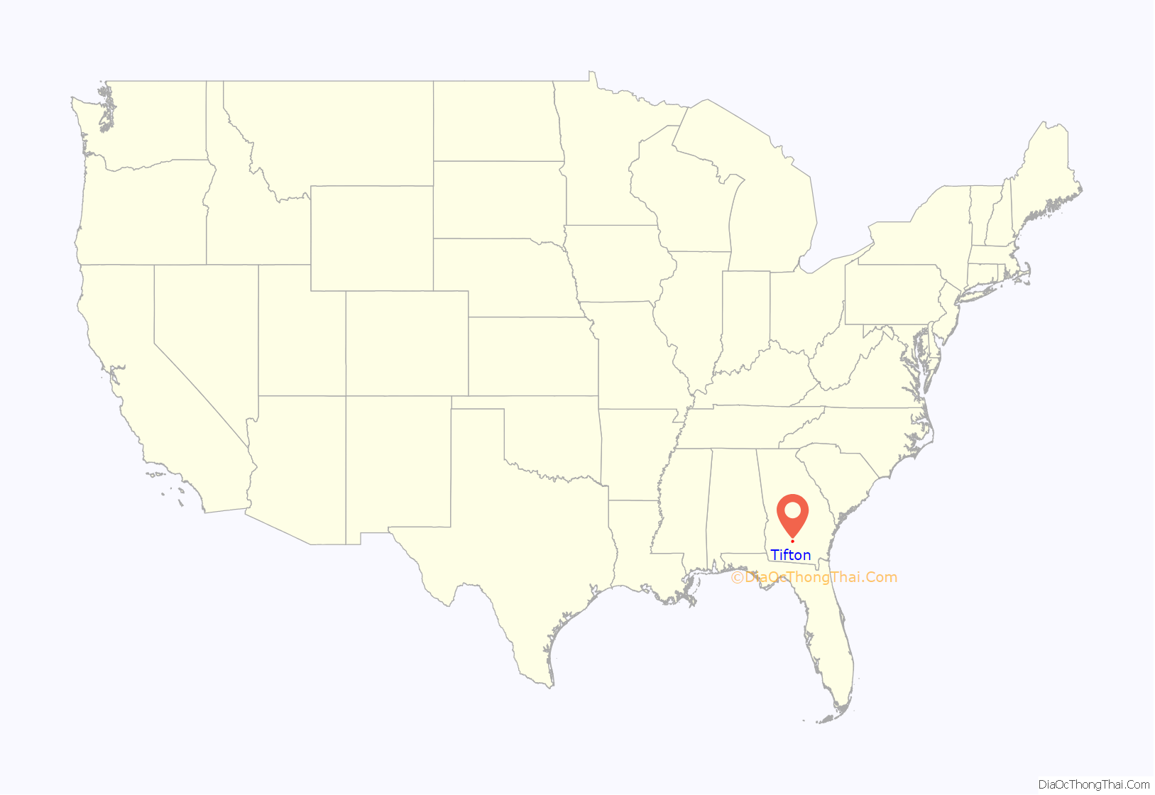
Tifton location map. Where is Tifton city?
History
Tifton was founded in 1872 in Berrien County at the junction of the Georgia Southern and Florida Railroad and the Brunswick and Western Railroad by sawmill owner Henry H. Tift. Tifton was incorporated as a city in 1890. In 1905, it was designated county seat of the newly formed Tift County.
Several Chicago-Florida and Cincinnati-Florida passenger trains made stops in Tifton: the Atlantic Coast Line’s Seminole, Flamingo and City of Miami and the Southern Railway’s Ponce de Leon and Royal Palm. With the discontinuance of the City of Miami in 1971, Tifton was left without passenger service.
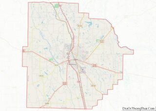
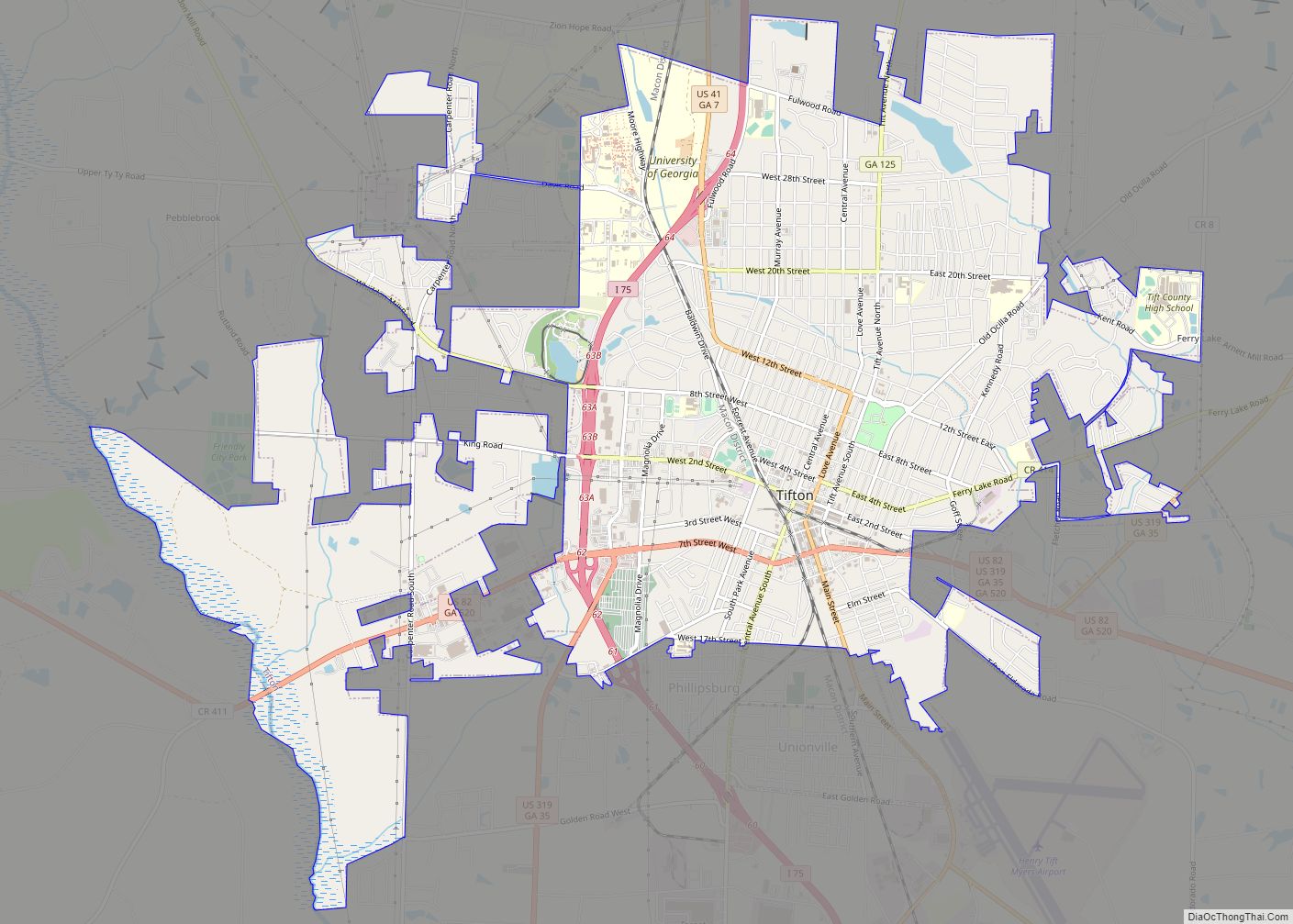
Tifton Road Map
Tifton city Satellite Map
Geography
Tifton is located in south central Georgia along Interstate 75, which runs north to south through the city, leading north 167 mi (269 km) to Atlanta and south 45 mi (72 km) to Valdosta. Other highways that pass through the city include U.S. Route 41, U.S. Route 82, U.S. Route 319, and Georgia State Route 125.
Climate
See also
Map of Georgia State and its subdivision:- Appling
- Atkinson
- Bacon
- Baker
- Baldwin
- Banks
- Barrow
- Bartow
- Ben Hill
- Berrien
- Bibb
- Bleckley
- Brantley
- Brooks
- Bryan
- Bulloch
- Burke
- Butts
- Calhoun
- Camden
- Candler
- Carroll
- Catoosa
- Charlton
- Chatham
- Chattahoochee
- Chattooga
- Cherokee
- Clarke
- Clay
- Clayton
- Clinch
- Cobb
- Coffee
- Colquitt
- Columbia
- Cook
- Coweta
- Crawford
- Crisp
- Dade
- Dawson
- Decatur
- DeKalb
- Dodge
- Dooly
- Dougherty
- Douglas
- Early
- Echols
- Effingham
- Elbert
- Emanuel
- Evans
- Fannin
- Fayette
- Floyd
- Forsyth
- Franklin
- Fulton
- Gilmer
- Glascock
- Glynn
- Gordon
- Grady
- Greene
- Gwinnett
- Habersham
- Hall
- Hancock
- Haralson
- Harris
- Hart
- Heard
- Henry
- Houston
- Irwin
- Jackson
- Jasper
- Jeff Davis
- Jefferson
- Jenkins
- Johnson
- Jones
- Lamar
- Lanier
- Laurens
- Lee
- Liberty
- Lincoln
- Long
- Lowndes
- Lumpkin
- Macon
- Madison
- Marion
- McDuffie
- McIntosh
- Meriwether
- Miller
- Mitchell
- Monroe
- Montgomery
- Morgan
- Murray
- Muscogee
- Newton
- Oconee
- Oglethorpe
- Paulding
- Peach
- Pickens
- Pierce
- Pike
- Polk
- Pulaski
- Putnam
- Quitman
- Rabun
- Randolph
- Richmond
- Rockdale
- Schley
- Screven
- Seminole
- Spalding
- Stephens
- Stewart
- Sumter
- Talbot
- Taliaferro
- Tattnall
- Taylor
- Telfair
- Terrell
- Thomas
- Tift
- Toombs
- Towns
- Treutlen
- Troup
- Turner
- Twiggs
- Union
- Upson
- Walker
- Walton
- Ware
- Warren
- Washington
- Wayne
- Webster
- Wheeler
- White
- Whitfield
- Wilcox
- Wilkes
- Wilkinson
- Worth
- Alabama
- Alaska
- Arizona
- Arkansas
- California
- Colorado
- Connecticut
- Delaware
- District of Columbia
- Florida
- Georgia
- Hawaii
- Idaho
- Illinois
- Indiana
- Iowa
- Kansas
- Kentucky
- Louisiana
- Maine
- Maryland
- Massachusetts
- Michigan
- Minnesota
- Mississippi
- Missouri
- Montana
- Nebraska
- Nevada
- New Hampshire
- New Jersey
- New Mexico
- New York
- North Carolina
- North Dakota
- Ohio
- Oklahoma
- Oregon
- Pennsylvania
- Rhode Island
- South Carolina
- South Dakota
- Tennessee
- Texas
- Utah
- Vermont
- Virginia
- Washington
- West Virginia
- Wisconsin
- Wyoming
